North Fork Shoal
- Saltwater
- Sea area
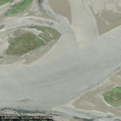
North Fork Shoal
- Saltwater
- Sea area
- Sq. miles
- 0
- Boat Ramps
- 0
- Access Points
- 0
- Campsites
- 3
North Fork Shoal Creek is a stream located in Shelby County, Illinois, with its topographic features detailed on the Effingham North USGS map. The water body is part of the state's watershed monitoring, having been assessed for water quality. For paddlers, access points are available at specific bridges, including the Green Creek Bridge and the L Wabash Rv Overflow Bridge, which serve as practical put-in and take-out locations. The surrounding area features a mix of rural landscapes and small towns such as Effingham, Beecher City, and Stewardson. The creek's character is that of a typical Midwestern stream, flowing through a region with other water features like Copperas Creek, Duck Creek, and the West Branch Little Wabash River. The presence of defined access points suggests opportunities for linear trips between bridges. Paddlers should consult current resources for water level information, as stream conditions can vary seasonally. The access points provide the fundamental requirement for launching and landing small craft like kayaks and paddleboards.
Water access, boat ramps & amenities
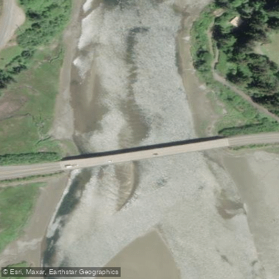
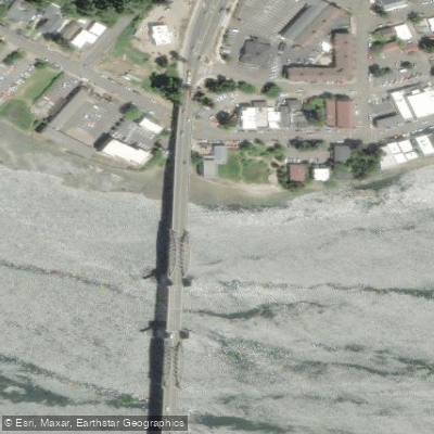
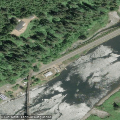
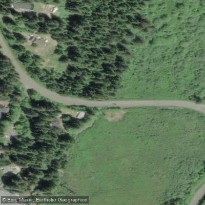
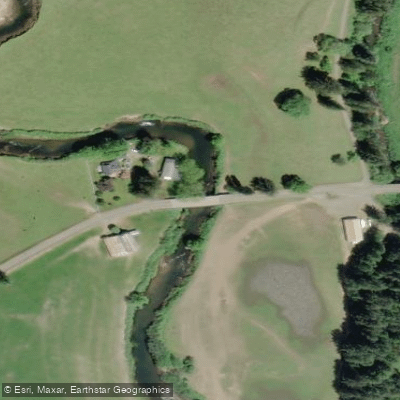
Learn how to get on North Fork Shoal. Uncover great paddling access points, boat ramps, and all the facilities you need for an unforgettable day on the water. Some locations shown may border or include private property. Always check property boundaries and applicable regulations before visiting. PaddleWays's Public & Private Land layer can help you plan your access with confidence.
Paddle smarter with real-time insights
Whether you're en route and conditions shift or you're looking for the best spot based on current flows, we enable you to make informed decisions on the fly.








Find Places to Paddle

Over 400,000 Places to Paddle
Every user gets free access to launch points, boat ramps, and public property parcels.


Tides, wind & water conditions (10 day forecast)
On open water, wind and tide matter as much as the weather. See the best times to paddle North Fork Shoal and check the marine forecast before you launch.
Loading tide predictions…
Paddling near North Fork Shoal
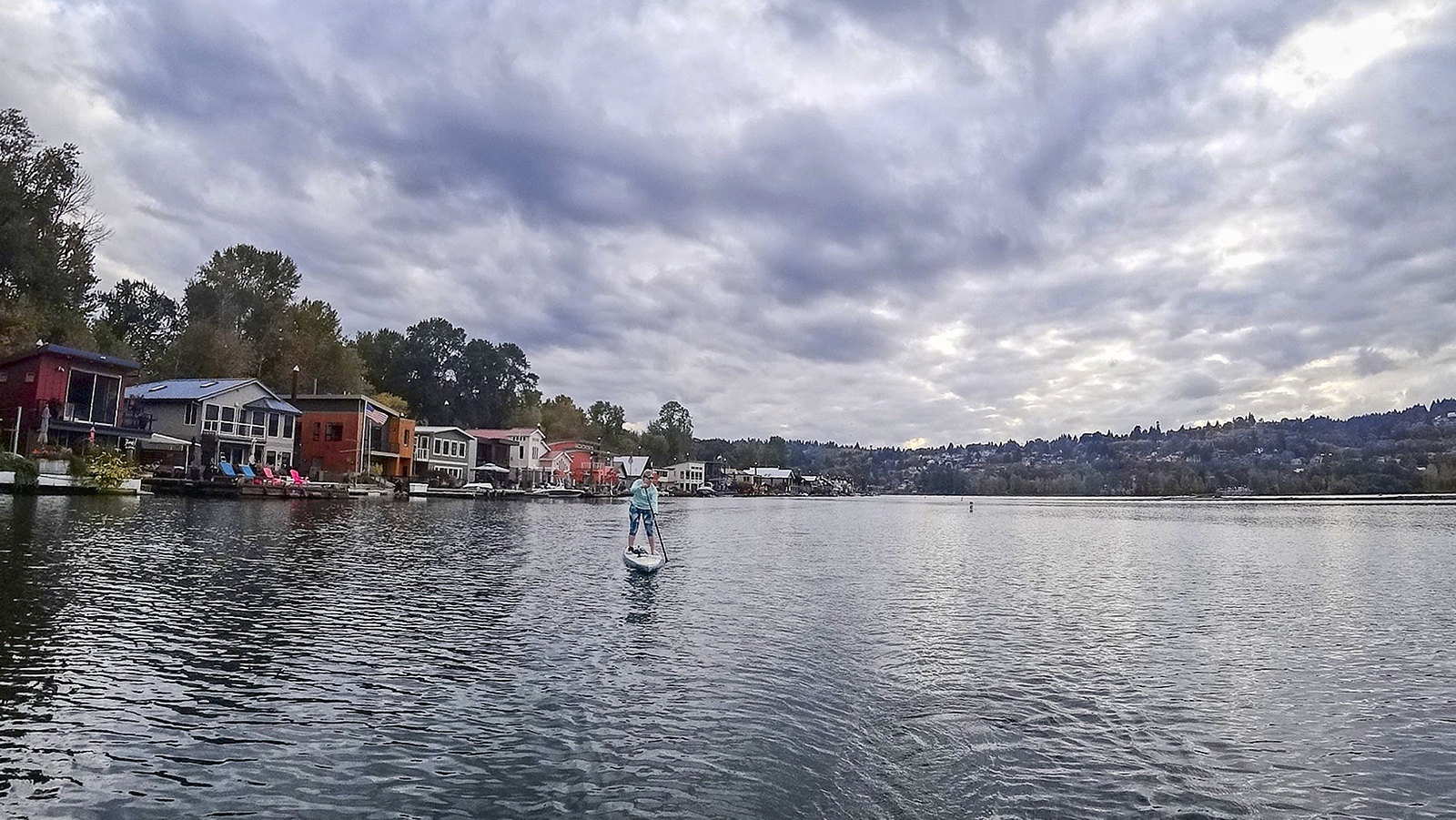
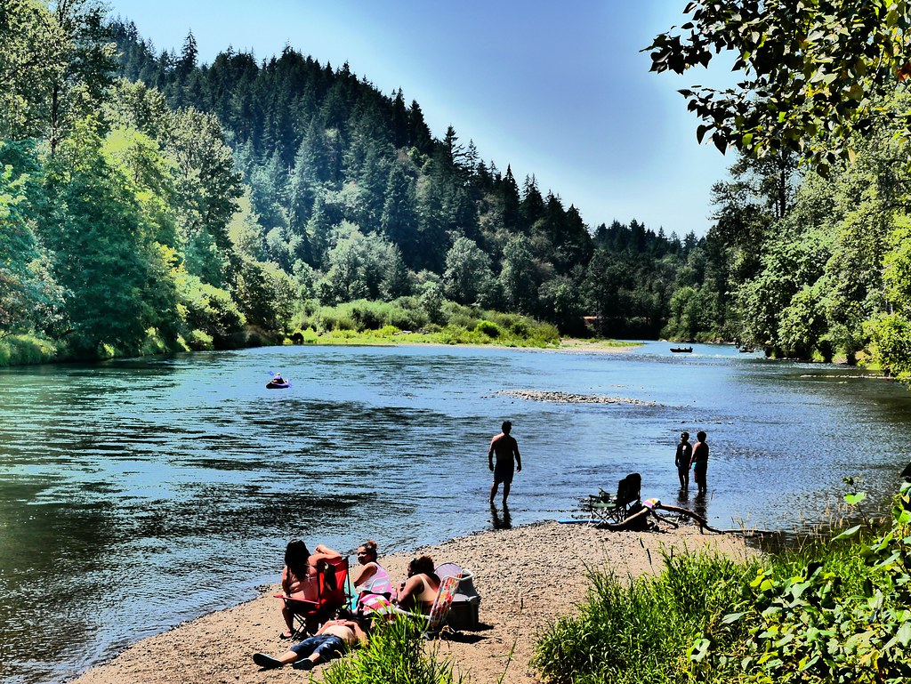
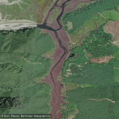
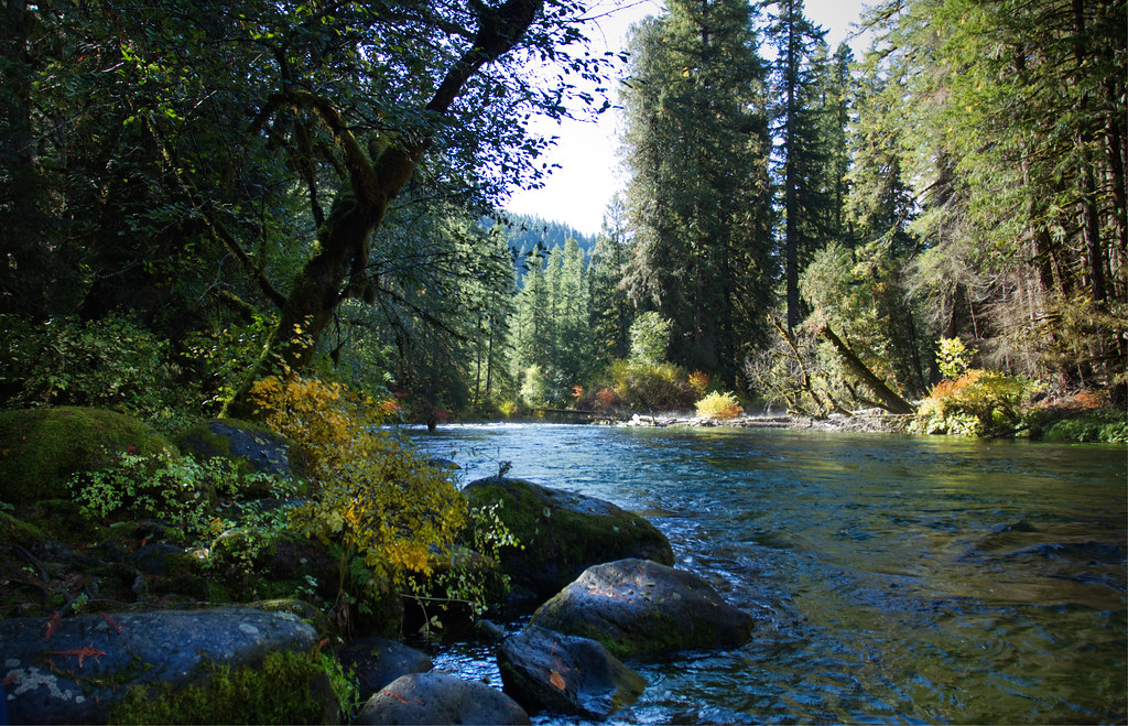
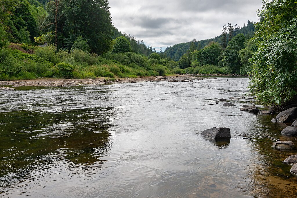
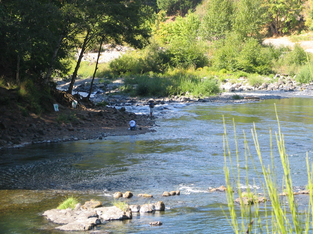
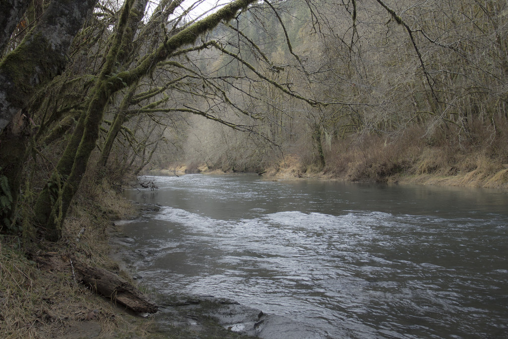
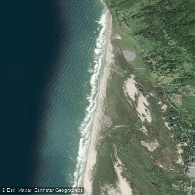
Explore Oregon waters
Top paddling waters
Popular Cities
Loading popular cities...
Explore near North Fork Shoal
Access points
Nearby waters
More in Oregon

Smarter Paddling Starts in the App.
Paddleways gives you everything you need to plan smarter, paddle better, and own every trip from first launch to takeout.