South Inlet
- Saltwater
- Inlet
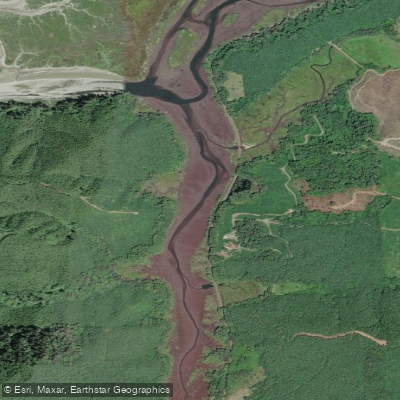
South Inlet
- Saltwater
- Inlet
- Sq. miles
- 0.1
- Boat Ramps
- 0
- Access Points
- 0
- Campsites
- 3
South Inlet is a flatwater tributary feeding into the western shore of Raquette Lake in the Adirondack Park. The primary paddling route is a two-mile channel upstream from the lake, ending at a small set of waterfalls known as South Inlet Falls or the Cascades. The convenient put-in is at the widest point where the inlet meets Raquette Lake, allowing paddlers to leave motorboat traffic behind as they head south. The trip is characterized by deep water with a mild, often indiscernible current and a complete absence of beaver dams, making it an unobstructed and reliable route even in mid-summer when other streams may run low.
The environment transitions from an open, wide channel through a fen with low grasses into a more forested corridor. This open flood plain at the start offers little shelter from wind or sun, making an early morning start advisable to avoid afternoon winds and peak sun exposure. The river gradually narrows throughout the journey, tapering to a relative trickle at the turnaround point, which is blocked by a jumble of rocks just below the falls. This spot provides an opportunity to land, stretch legs, and potentially swim from small sandy beaches before the return downstream paddle.
The area is noted for diverse plant life along the boggy shores, including large pitcher plants among common wildflowers. Wildlife sightings may include great blue herons, belted kingfishers, and various songbirds, though sightings can vary. The surrounding area is part of the Blue Ridge Wilderness, and the mouth of the inlet is historically noted as a possible namesake origin for Raquette Lake. Paddling is permitted, and the route is suitable for all skill levels, including families, due to its calm, flatwater nature. The trip can be combined with longer explorations on Raquette Lake itself.
Water access, boat ramps & amenities
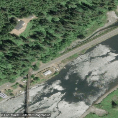
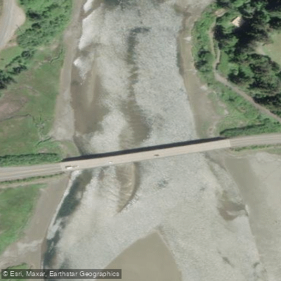
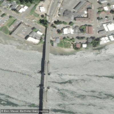
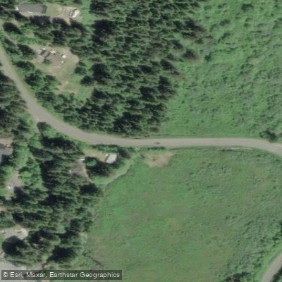
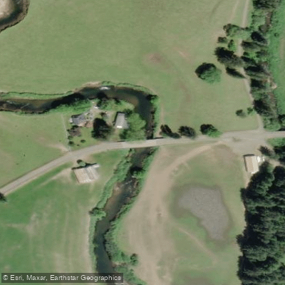
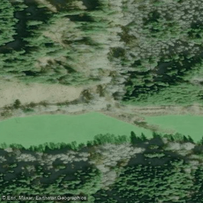
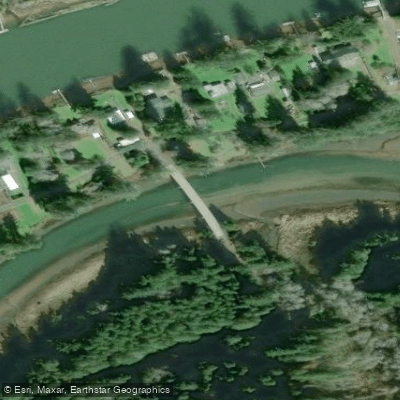
Learn how to get on South Inlet. Uncover great paddling access points, boat ramps, and all the facilities you need for an unforgettable day on the water. Some locations shown may border or include private property. Always check property boundaries and applicable regulations before visiting. PaddleWays's Public & Private Land layer can help you plan your access with confidence.
Paddle smarter with real-time insights
Whether you're en route and conditions shift or you're looking for the best spot based on current flows, we enable you to make informed decisions on the fly.








Find Places to Paddle

Over 400,000 Places to Paddle
Every user gets free access to launch points, boat ramps, and public property parcels.


Tides, wind & water conditions (10 day forecast)
On open water, wind and tide matter as much as the weather. See the best times to paddle South Inlet and check the marine forecast before you launch.
Loading tide predictions…
Paddling near South Inlet
Explore Oregon waters
Top paddling waters
Popular Cities
Loading popular cities...
Explore near South Inlet
Access points
Nearby waters
More in Oregon

Smarter Paddling Starts in the App.
Paddleways gives you everything you need to plan smarter, paddle better, and own every trip from first launch to takeout.