Paddling in Alagnak Wild River
- National Wild & Scenic River
- Open 24 hours
- Lakes
- 0
- Rivers
- 0
- Access
- 0
- Boat Ramps
- 0
- Shops
- 0
The Alagnak is a remote, free-flowing river on the Alaska Peninsula — a braided, tundra-crossing run that moves from clear headwater lakes down through boreal forest to tidewater at Bristol Bay.
Its upper 67 miles are federally designated wild river, managed mostly by the National Park Service, with roughly 17 percent of the corridor in Alaska Native private ownership.
That designation means no dams, minimal development, and a river that behaves like a river: channels shift, braids multiply, and the middle section rarely holds a single line.
The two put-ins are Kukaklek Lake and Nonvianuk Lake, both reached by floatplane — there is no road access.
From Kukaklek, the full run is 75 miles and includes the Class III canyon, a mile-long gorge with a short falls and walls steep enough that lining or portaging is genuinely difficult.
Paddlers who want to skip the canyon can start at Nonvianuk Lake, float the 11-mile Nonvianuk River to its confluence with the Kukaklek outflow, and pick up the remaining 56 miles for a 67-mile trip.
The river is Class I and II for most of its length, making it runnable in small rafts and inflatable kayaks for paddlers with multi-day river experience. Hardshell kayaks are not the obvious choice for the canyon section. Plan for roughly six days.
Water levels are generally lowest in spring and rise with rain and snowmelt. The lower 10 to 30 miles offer multiple float-plane take-out options; the last 10 miles can be affected by tide and westerly winds.
Coordinate your pick-up location before you launch — pilots will have preferences about where they can land. One logistical note: the Cutbank area near Estrada's camp is private property; take out downstream or on the opposite bank.
Because the NPS does not maintain public facilities along the river, self-sufficiency is the baseline.
Leave a detailed float plan — including air taxi contact, equipment description, and expected return date — with someone onshore, and consider filing the same information as a Backcountry Planner at the King Salmon Visitor Center.
The NPS will not initiate a search unless a party is reported overdue. Brown bears are present throughout the corridor.
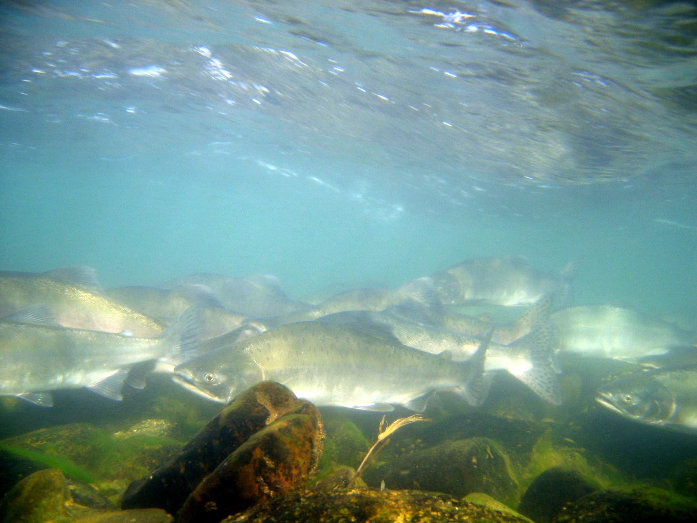
The river also carries all five Pacific salmon species, and the run draws significant fishing pressure from lodge clients on motorized boats. You will see other people. That's part of the Alagnak — a wild river that has never been entirely alone.
Top waters to paddle near Alagnak Wild River
Water and weather conditions (10 day forecast)
See the best times to paddle Alagnak Wild River and check the forecast before you go.
No forecast data available.
Park alerts & road status
Closures and conditions Alagnak Wild River has posted, from the National Park Service.
Checking the park's alerts…
Hours & fees
When Alagnak Wild River is open and what it costs to get in, from the National Park Service.
Hours
Open 24 hoursAlagnak Wild River is never closed, but access can be difficult during the winter.
Entrance fees
No entrance fee is listed for this park.
Paddle smarter with real-time insights
Whether you're en route and conditions shift or you're looking for the best spot based on current flows, we enable you to make informed decisions on the fly.







Paddling near Alagnak Wild River
Loading...
Gateway towns
Where to base yourself for paddling in Alagnak Wild River.
The main hub for reaching the river, with scheduled flights from Anchorage and charter floatplane services that fly you to the headwater lakes.
The primary connection point for flights to King Salmon, where most visitors begin their journey to the river.
Explore Alagnak Wild River
Top paddling waters
No waters available right now.
Popular Cities
Loading popular cities...

Smarter Paddling Starts in the App.
Paddleways gives you everything you need to plan smarter, paddle better, and own every trip from first launch to takeout.