Paddling in Katmai National Park
- National Park
- Open 24 hours
- Lakes
- 0
- Rivers
- 5
- Access
- 0
- Boat Ramps
- 0
- Shops
- 0
Katmai sits on the Alaska Peninsula, a roadless wilderness of more than four million acres where every paddler arrives by floatplane or boat.
The water here is not a single river system but a sprawling network — hundreds of miles of rivers and streams, large glacial lakes, and countless ponds — spread across active volcanic terrain.
The park's interior is accessible almost entirely by water or air, which means paddling here is less a recreational add-on and more a primary mode of travel.
The anchor of backcountry paddling is the Savonoski Loop, an 80-mile circuit through the park's interior that draws canoeists and kayakers willing to commit five to ten days to the route.
The loop threads together Naknek Lake, Grosvenor Lake, the Grosvenor River, and the Savonoski River.
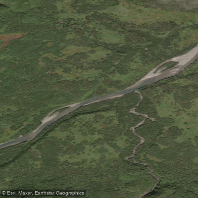
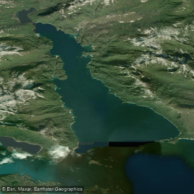
Grosvenor is a long, narrow lake that curves beneath tall mountains; its outlet feeds the Grosvenor River, a Class I, clear-water stream roughly three miles long.
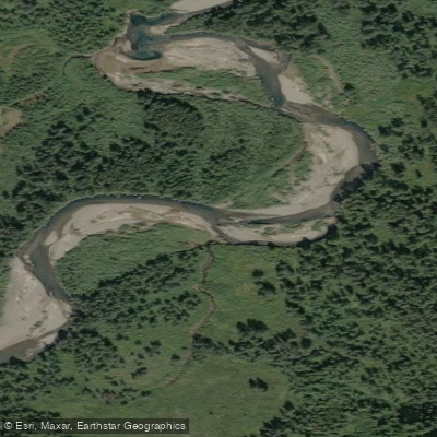
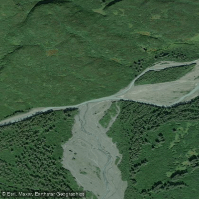
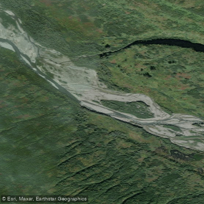
The Savonoski River that follows is braided Class I–II with a swift current and waves up to three feet — not technical whitewater, but demanding in its own way: glacial silt makes depth impossible to read, sandbars shift, and sweepers appear without warning.
The loop requires intermediate paddling skills and real wilderness experience, including bear country travel. A 1. 5-mile portage trail at Fure's Cabin connects Naknek Lake to Grosvenor Lake; expect mud and insects.
Williwaws — strong south and east winds — can pin paddlers on Grosvenor Lake for hours or days, so build extra time into any itinerary.
Naknek Lake is the park's largest body of water, over 150,000 acres, and the most accessible starting point for most paddlers.
Brooks Camp, on the lake's shore, is the park's main hub; canoes and kayaks are available for rent there through the park concessionaire.
The Iliuk Arm of Naknek Lake connects the Savonoski River mouth back to Brooks Camp — roughly 20 miles of open lake travel where steep cliffs along Mount La Gorce push paddlers to the south shore.
For moving water, American Creek and Moraine Creek are the rafting destinations. American Creek in particular is described as a serious wilderness float with whitewater and strong fishing. Funnel Creek rounds out the whitewater options.
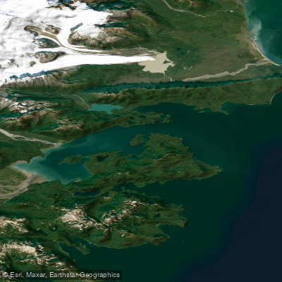
The coastal side of the park adds a different dimension: Geographic Harbor offers sea kayaking among columnar basalt islands and river deltas.
One permit matters specifically to paddlers stopping at Brooks Camp: the Brooks River Corridor permit, required for anyone entering the corridor that includes the Brooks River and 50 yards from each bank upstream from camp.
It is free but required, and exists because bears and anglers share that short stretch of water in numbers that demand active management. Check with the park for current permit procedures before your trip.
Katmai's water is cold, winds are unpredictable, and the nearest help is a floatplane away. File a float plan, wear your PFD, and give the weather the respect it demands. The park rewards paddlers who come prepared to move slowly and wait.
Water and weather conditions (10 day forecast)
See the best times to paddle Katmai National Park and check the forecast before you go.
No forecast data available.
Park alerts & road status
Closures and conditions Katmai National Park has posted, from the National Park Service.
Checking the park's alerts…
Hours & fees
When Katmai National Park is open and what it costs to get in, from the National Park Service.
Hours
Open 24 hoursKatmai is open 24 hours per day, seven days per week.
Entrance fees
No entrance fee is listed for this park.
Parking & getting around
Where to leave the car in Katmai National Park. Lots fill early on busy days, so plan where you will park before you head for the water.
Lake Camp Boat Access
A public access boat ramp is available as well as parking for vehicles and trailers (for up to 14 days), PFDs for public use, two vault toilets and a picnicking area.
Getting around
Katmai National Park & Preserve is located on the northern Alaska Peninsula, northwest of Kodiak Island and southwest of Homer, Alaska. The park’s headquarters is in King Salmon, about 290 air miles southwest of Anchorage. Unlike most national parks in the United States, Katmai is almost exclusively accessed by plane or boat.
Directions on nps.govPaddle smarter with real-time insights
Whether you're en route and conditions shift or you're looking for the best spot based on current flows, we enable you to make informed decisions on the fly.







Paddling near Katmai National Park
Loading...
Gateway towns
Where to base yourself for paddling in Katmai National Park.
Park headquarters town and main hub; visitors fly here then take a floatplane or water taxi into the park.
Major departure point for commercial flights to King Salmon and direct floatplane day trips to Brooks Falls.
- HomerAK
Offers direct floatplane access into Katmai, serving as an alternative launch point for bear viewing trips.
- KodiakAK
Small aircraft depart from here directly into Katmai, giving visitors on Kodiak Island a practical entry option.
Katmai National Park paddling rules
The park's own rules, on top of Alaska licenses and regulations. Limits, fees and closures change, so check the park's page before you go.

Follow USCG and State Regs
All vessels operating in Katmai waters must comply with United States Coast Guard and Alaska State regulations. Motorboats must be currently registered and carry all required safety gear.

Disable Discharge Systems
Vessels capable of discharge must be able to show that the discharge system has been made inoperable before heading out on park waters.

Report Boating Accidents Immediately
Any boating accident involving injuries or spills must be reported to Katmai National Park right away. Contact the Alaska Regional Communications Center at 907-683-9555, available 24 hours a day.

File a Float Plan
Before launching, leave a float plan with a trusted contact. It should include your departure and return times, vessel description, and the number of people aboard.

Wear Your PFD
All adult boaters are strongly advised to wear a personal flotation device at all times. Anyone under 13 must wear a PFD when in an open boat or on deck.

Brooks River Corridor Permit Required
A permit is required to access the Brooks River Corridor, which covers the river and 50 yards from either bank. Check recreation.gov for current permit details and availability.
Explore Katmai National Park
Top paddling waters
Popular Cities
Loading popular cities...

Smarter Paddling Starts in the App.
Paddleways gives you everything you need to plan smarter, paddle better, and own every trip from first launch to takeout.