Paddling in Wrangell-St. Elias National Park
- National Park
- Lakes
- 24
- Rivers
- 159
- Access
- 0
- Boat Ramps
- 0
- Shops
- 0
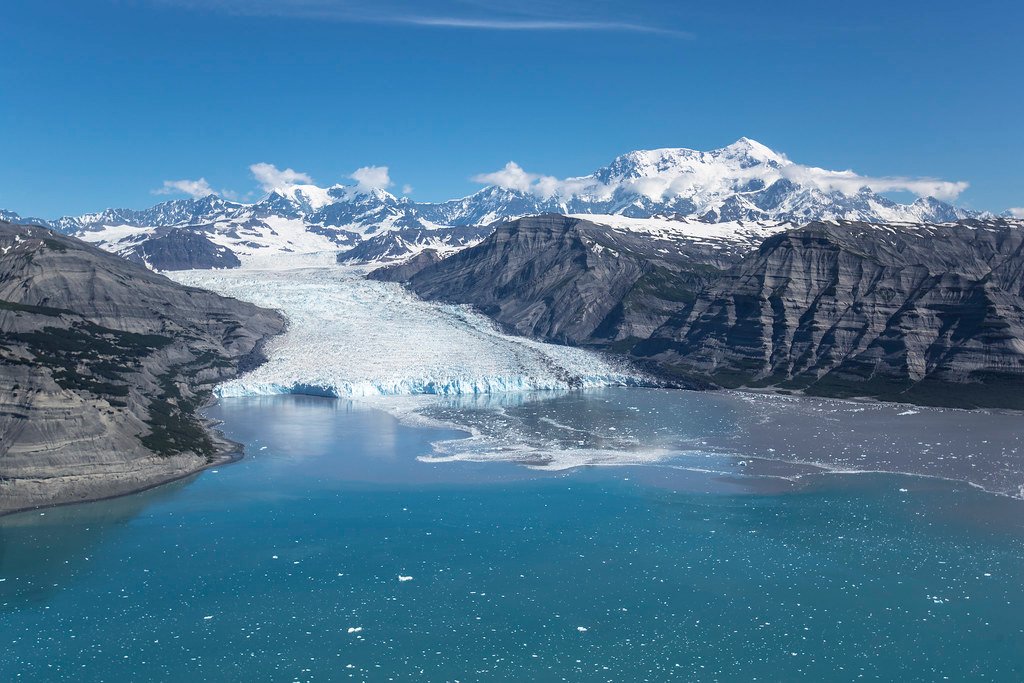
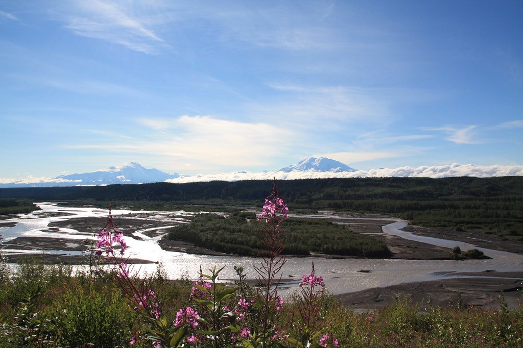
Wrangell-St. Elias holds more glaciated terrain than any other national park in the country, and the water that comes off it shapes everything about paddling here. Rivers run braided and glacially fed through valleys flanked by four converging mountain ranges.
The coastline holds tidewater ice. The scale is not figurative — at 13 million acres, the park is larger than Switzerland, and most of it has no road access at all. Getting to the water often means a bush plane.
The Kennicott River is the most accessible put-in, reachable from McCarthy on the park's main gravel corridor. Guided trips run from the glacier's toe down to the Chitina River, a full-day float that ends with a small plane pickup at the takeout.
Shorter trips paddle the glacial lake at the terminus of the Kennicott Glacier itself — a slow, surreal float among ice and rock debris, more about the landscape than the hydraulics.
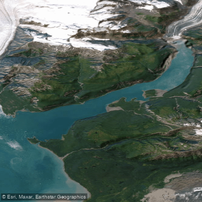
Packrafting trips also launch from the Kennicott Glacier toe, pairing a short hike with time on the water. Icy Bay, on the park's remote Gulf of Alaska coastline, is the sea kayaking destination here.
Since 1900, four tidewater glaciers have been retreating and opening the bay, and the paddling now moves through frigid water shared with Steller sea lions, orcas, and seabirds.
Access is by small bush plane only — most paddlers fly in with collapsible kayaks, landing at Kageet Point, the standard entry. There are no designated campsites; beach camping is dispersed and leave-no-trace throughout the bay.
No backcountry permit is required for paddling or camping in the park.
Qualified local rural residents fishing under federal subsistence regulations need a federal subsistence fishing permit, available at the park's Visitor Center in Copper Center and the Slana Ranger Station, typically starting in May — check with the park for current requirements before you go.
The park doesn't punish the unprepared so much as it simply doesn't accommodate them. Self-rescue on a glacially fed river in a roadless valley is a different calculation than most paddlers are used to making.
The water is cold, the weather moves fast, and the bush plane that brought you in is the same one you're counting on to get out.
Top waters to paddle near Wrangell St Elias National Park
Water and weather conditions (10 day forecast)
See the best times to paddle Wrangell-St. Elias National Park and check the forecast before you go.
No forecast data available.
Paddle smarter with real-time insights
Whether you're en route and conditions shift or you're looking for the best spot based on current flows, we enable you to make informed decisions on the fly.







Paddling near Wrangell-St. Elias National Park
Loading...
Gateway towns
Where to base yourself for paddling in Wrangell-St. Elias National Park.
- McCarthyAK
The main hub inside the park, with lodges, outfitters, guides, and access to Kennecott and the glaciers.
Home to the park's main visitor center and a practical base before heading deeper into the park.
- ChitinaAK
Small gateway town at the start of McCarthy Road, with a ranger station and last services before the backcountry.
- SlanaAK
Northern gateway with a ranger station serving visitors entering via Nabesna Road on the park's north side.
Wrangell-St. Elias National Park paddling rules
The park's own rules, on top of Alaska licenses and regulations. Limits, fees and closures change, so check the park's page before you go.

Wear Protection on Cold Rivers
Park rivers are glacier-fed and can be just above freezing. Dry suits, insulating layers, and a way to warm up quickly are strongly recommended for any paddling trip.

Watch for Wood Hazards
Strainers and sweepers are present on all park rivers. Constant bank erosion means trees fall into and lean over the water regularly, so stay alert and be ready to act fast.

Glacial Silt Hides Obstacles
Suspended glacial silt makes most park rivers opaque. Rocks and submerged wood are often invisible, so strong water-reading skills are essential before you launch.

Federal Subsistence Fishing Permits
Qualified local rural residents fishing under federal subsistence regulations may need a federal registration permit depending on species and area. Check with the park for current permit requirements.

Icy Bay Access by Small Plane Only
Icy Bay is accessible only by small bush plane. Use only air taxis holding a park Commercial Use Authorization, and request permission before landing on any Chugach Alaska Corporation land.
Explore Wrangell-St. Elias National Park
Top paddling waters
Popular Cities
Loading popular cities...

Smarter Paddling Starts in the App.
Paddleways gives you everything you need to plan smarter, paddle better, and own every trip from first launch to takeout.