Paddling in Kings Canyon National Park
- National Park
- Lakes
- 61
- Rivers
- 71
- Access
- 1
- Boat Ramps
- 3
- Shops
- 0
Kings Canyon sits in the southern Sierra Nevada, where snowmelt carves deep granite canyons and feeds rivers that drop hard and fast toward the San Joaquin Valley.
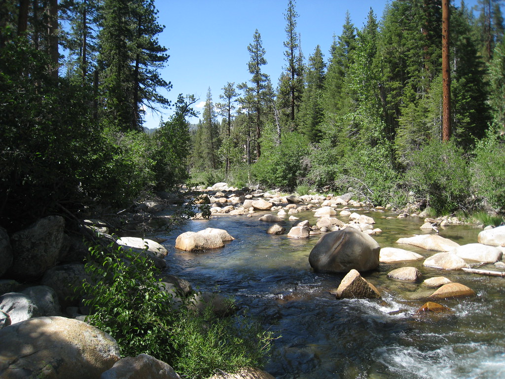
The water here is overwhelmingly moving water — steep, cold, and serious — with one notable flatwater exception inside the park boundary. Paddlers coming in expecting a relaxed float need to recalibrate before they arrive.
The South Fork of the Kings River runs through the Cedar Grove area of the park, but it is closed to swimming and carries the same hazards that define every river in the Sequoia and Kings Canyon complex: swift current, icy snowmelt, and banks that can crumble without warning.
Spring and early summer, when flows are highest, are also the most dangerous. The park's own safety messaging is direct about this — the number one cause of death in Sequoia and Kings Canyon is drowning.
That context matters when you're reading a river and deciding whether to get in. Motorized craft are not permitted anywhere in the park. That rule shapes what's possible on the water.
Hume Lake, just outside the park boundary in Sequoia National Forest, is the practical flatwater option for paddlers based in the Kings Canyon corridor. The 87-acre reservoir sits at roughly 5,300 feet and is road-accessible — rare in this part of the Sierra.
It's small enough to circumnavigate in a morning and calm enough for recreational kayaks and paddleboards. Boat rentals are available through Hume Lake Christian Camps, which also runs a general store and gas station on the lake.
It's a busy place in summer, not a wilderness experience, but it's the water you can actually paddle here without committing to a serious whitewater run.
The Kings River itself — the stretch that draws commercial raft trips — runs outside the park in the national forest and on private land downstream.
That's a different conversation, a different permit environment, and a different kind of paddling than what's inside the park boundary. Come to Kings Canyon for the canyon.
Come knowing the rivers are not recreational amenities — they're the force that made the place.
Water and weather conditions (10 day forecast)
See the best times to paddle Kings Canyon National Park and check the forecast before you go.
No forecast data available.
Paddle smarter with real-time insights
Whether you're en route and conditions shift or you're looking for the best spot based on current flows, we enable you to make informed decisions on the fly.







Paddling near Kings Canyon National Park
Loading...
Gateway towns
Where to base yourself for paddling in Kings Canyon National Park.
- FresnoCA
Closest city with a major airport to Kings Canyon, serving as the main fly-in base before heading east on Highway 180 to the Big Stump Entrance.
Small foothill town on Highway 198 and the Generals Highway, offering lodging and services for both Kings Canyon and Sequoia.
- VisaliaCA
Larger hub town with tours, outfitters, and lodging that serve as a staging point for Kings Canyon via Highway 198.
- DunlapCA
One of the closest small communities to Kings Canyon, sitting in the Sierra Nevada foothills near the park's western approaches.
Explore Kings Canyon National Park
Top paddling waters
Popular Cities
Loading popular cities...

Smarter Paddling Starts in the App.
Paddleways gives you everything you need to plan smarter, paddle better, and own every trip from first launch to takeout.