Paddling in Redwood National Park
- National Park
- Lakes
- 3
- Rivers
- 53
- Access
- 14
- Boat Ramps
- 6
- Shops
- 0
Redwood National and State Parks holds two distinct paddling worlds: a wild coastal creek that cuts through the tallest trees on earth, and a clear, free-flowing river system that defines the northern edge of the park.
The terrain is steep, the rainfall is heavy, and the seasons matter enormously here. The Smith River is the anchor.
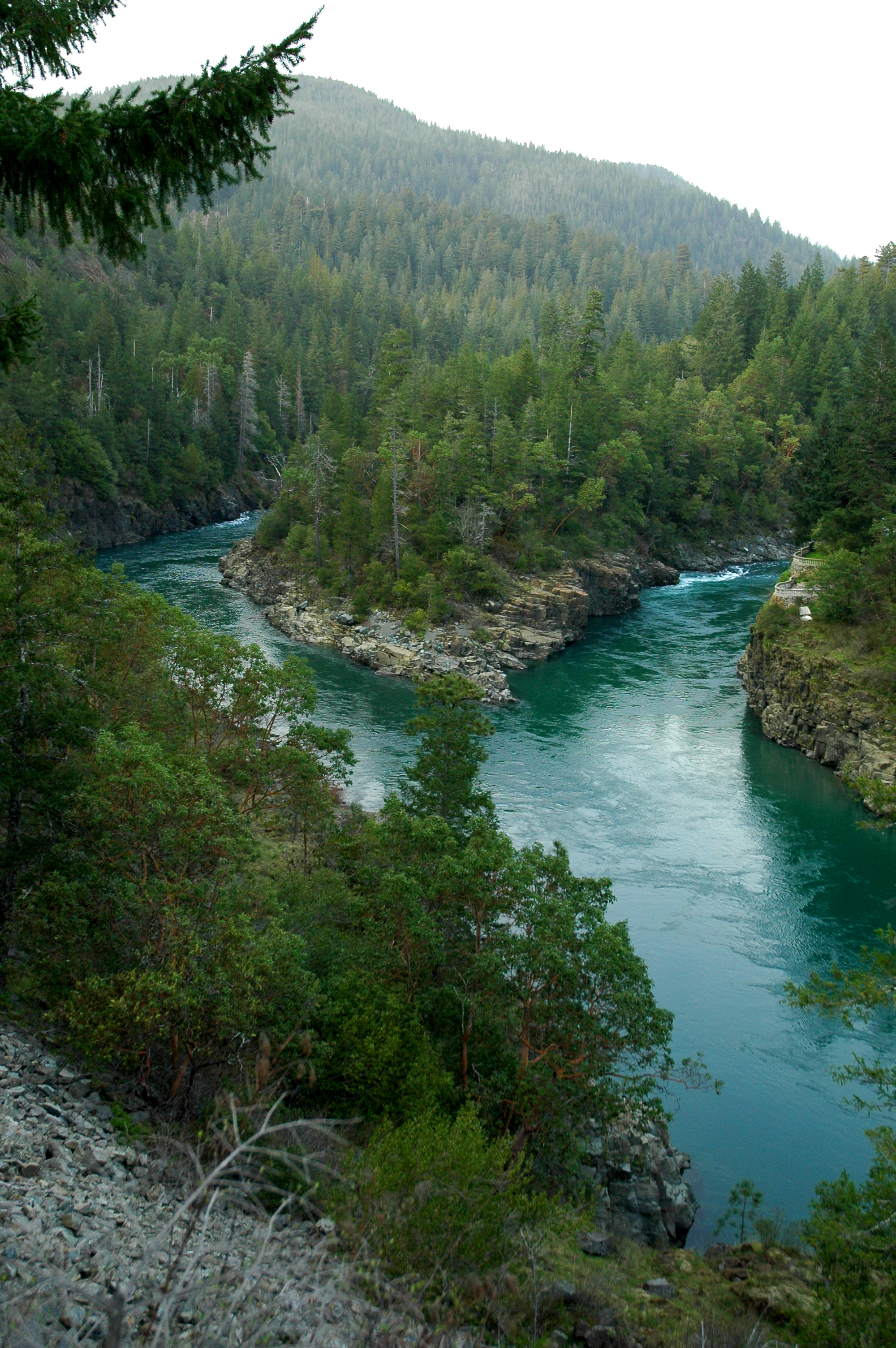
The largest free-flowing river system in California and a designated National Wild and Scenic River, it runs along the park's northern boundary through Jedediah Smith Redwoods.
Spring is the prime window — water levels are up, the weather is workable, and the river is at its best for rafting, kayaking, and canoeing. By summer, flows drop enough that the park's own ranger-led kayak program shuts down mid-season due to low water.
Those guided trips, when running, put participants in tandem inflatable kayaks on roughly three miles of Class I-II water — moving flatwater, riffles, and small rapids — launching from the Forks put-in in the Smith River National Recreation Area and ending back at the Jedediah Smith Day Use Area.
The park runs them as staffing and conditions allow; check with Redwood National and State Parks before planning around them. Redwood Creek is the other run, and it's a different kind of trip entirely.
The creek flows through the core of Redwood National Park — a 25-mile run through groves of the tallest trees on earth. The real draw for many paddlers is making it an overnight, camping on gravel bars along the way.
That requires a dispersed camping permit from the park, requested at least 48 hours in advance. No permit is needed for a day trip. Permit requirements elsewhere in the park — Fern Canyon, Gold Bluffs Beach, Tall Trees — are real and enforced seasonally.
Check current conditions directly with the park before any trip; flows, staffing, and access can all change faster than any website updates. Paddling here means reading the seasons carefully and accepting that the window is real.
Come in spring with your own boat and the creek or the Smith will likely be running. Come in August expecting the ranger program and you may find the river too low to float. That's not a flaw — it's what a healthy, undammed river system looks like.

Water and weather conditions (10 day forecast)
See the best times to paddle Redwood National Park and check the forecast before you go.
No forecast data available.
Paddle smarter with real-time insights
Whether you're en route and conditions shift or you're looking for the best spot based on current flows, we enable you to make informed decisions on the fly.







Paddling near Redwood National Park
Loading...
Gateway towns
Where to base yourself for paddling in Redwood National Park.
Park headquarters is here; closest full-service town to Jedediah Smith and Del Norte Coast sections, with lodging, restaurants, and outfitters.
- OrickCA
Sits at the southern entrance near the Thomas H. Kuchel Visitor Center, with direct access to Tall Trees Grove, Fern Canyon, and Prairie Creek.
- KlamathCA
Small town on the Klamath River between the park's southern and northern sections, with lodging and access to coastal trails.
Largest nearby community south of the park on Hwy 101, home to the region's main airport and a full range of lodging and services.
Redwood National Park paddling rules
The park's own rules, on top of California licenses and regulations. Limits, fees and closures change, so check the park's page before you go.

Overnight Trip Permit Required
A dispersed camping permit is required for any overnight boating trip on Redwood Creek. No permit is needed for a day trip. Request your permit at least 48 hours before your trip.

Mandatory Safety Briefing Before Launch
All ranger-led kayak tour participants must attend the full safety orientation before getting on the water. Anyone who misses any part of the briefing is not allowed to paddle.

Life Jackets and Helmets Provided
On ranger-led tours, park staff fit every paddler with a life jacket and helmet before launching. You must wear both for the duration of the trip.
Explore Redwood National Park
Top paddling waters
Popular Cities
Loading popular cities...

Smarter Paddling Starts in the App.
Paddleways gives you everything you need to plan smarter, paddle better, and own every trip from first launch to takeout.