Paddling in Point Reyes National Seashore
- National Seashore
- Lakes
- 6
- Rivers
- 10
- Access
- 1
- Boat Ramps
- 1
- Shops
- 0
Point Reyes National Seashore sits on a large triangular peninsula an hour north of San Francisco, where the San Andreas Fault meets the Pacific. The paddling here is coastal and tidal — bays, estuaries, and open water shaped by ocean swell, fog, and wind.
There are no rivers to run. What the park holds instead is some of the most significant protected coastal water in California. Tomales Bay is the center of gravity.
Fifteen miles long and 6,780 acres, it runs along the western boundary of the park and is the largest unspoiled coastal embayment on the California coast.
The bay is tidal and shallow in places, and its orientation makes it a wind tunnel — the prevailing conditions demand real attention to forecasts.
Water temperature stays in the 52–60°F range year-round, which means exposure protection matters even on calm days. August through November is generally the most reliable window for paddling: winds ease, and September brings peak shorebird activity.
Winter has its own pull — fewer paddlers, a herring spawn in recovering seagrass beds, and strong wildlife movement. June and July can be punishing for wind.
Launch options around Tomales Bay include Miller County Park (also called Nick's Cove) on the east side off Highway 1, with a paved ramp and restrooms; Millerton Point, three miles north of Point Reyes Station, which is shallow and best accessed near high tide; and Hearts Desire Beach on the west side via Pierce Point Road.
The park maintains 20 boat-in-only campsites on the bay's western shore, north of Tomales Bay State Park's northern boundary. Camping permits are required and booked through Recreation. gov.
Pelican Point, Duck Island, and the east side of Hog Island are closed year-round to protect nesting and roosting birds. Drakes Estero and Estero de Limantour are the other paddling waters inside the park.
Both are designated Wilderness, which means no motorized craft at any time. They're also closed to all boating from March 1 through June 30 — the NPS enforces this closure to protect harbor seals during pupping season.
The window opens July 1 and runs through February 28. These are quieter, more sheltered waters than Tomales Bay, and the closure calendar is non-negotiable.
Ocean kayaking along the outer coast is a different proposition entirely — exposed headlands, heavy surf, and conditions that change fast. The park doesn't prohibit it, but the NPS is direct: check marine forecasts before going anywhere near this water.
Point Reyes rewards paddlers who do their homework. The tides, the wind, the seasonal closures, the cold water — none of it is incidental. It's the same set of forces that kept this coast wild in the first place.
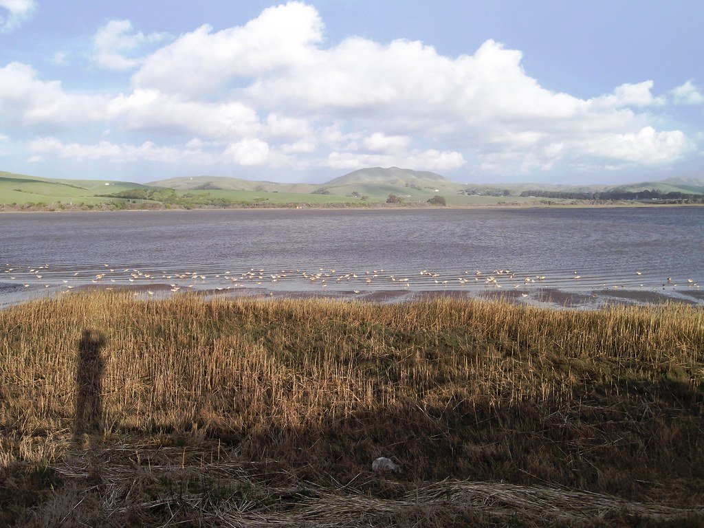
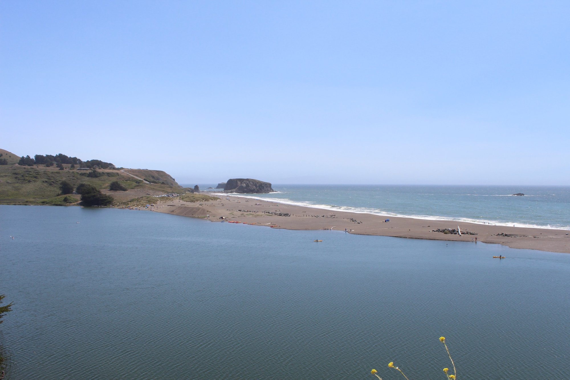
Top waters to paddle near Point Reyes National Seashore
Water and weather conditions (10 day forecast)
See the best times to paddle Point Reyes National Seashore and check the forecast before you go.
No forecast data available.
Park alerts & road status
Closures and conditions Point Reyes National Seashore has posted, from the National Park Service.
Checking the park's alerts…
Hours & fees
When Point Reyes National Seashore is open and what it costs to get in, from the National Park Service.
Hours
Point Reyes National Seashore is open to visitors every day of the year! The park is open from 6 am to midnight. (Visit our Visitor Centers web page, for the hours for the Bear Valley Visitor Center, the Kenneth C. Patrick Visitor Center at Drakes Beach, and the Point Reyes Lighthouse and the stairs leading down to the lighthouse.) Overnight parking is only permitted in the park with a valid backcountry camping permit or for visitors staying at the Point Reyes Hostel.
Entrance fees
No entrance fee is listed for this park.
Parking & getting around
Where to leave the car in Point Reyes National Seashore. Lots fill early on busy days, so plan where you will park before you head for the water.
Abbotts Lagoon Trailhead Parking Lot
ClosedThe Abbotts Lagoon Trailhead Parking Lot is a dirt/gravel parking lot that can accommodate ~40 vehicles. The Abbotts Lagoon Trailhead is at the northwest corner of the lot. A vault toilet building and litter and recycling receptacles are located along the east side of the lot. The Abbotts Lagoon Trailhead Parking Lot is approximately 25 minutes by car from the Bear Valley Visitor Center via Sir Francis Drake Boulevard and Pierce Point Road.
Bayview Trailhead Parking Lot
ClosedThe Bayview Trailhead Parking Lot is a small dirt parking lot with space for ~20 vehicles on the north side of Limantour Road 4.4 miles (7 km) from Bear Valley Road. The Bayview Trail crosses Limantour Road at this location and the Inverness Ridge Trail heads north from the parking lot's western end. The Bayview Trailhead Parking Lot is approximately 12 minutes by car from the Bear Valley Visitor Center. A bulletin board with information about the 1995 Vision Fire is located along the lot's north side.
Bear Valley Bus/RV/Trailer Parking Lot
ClosedA dirt parking lot near the Bear Valley Visitor Center and Bear Valley Trailhead with space for ~20 buses, RVs, and/or vehicles towing trailers. It is available for day use only. The Bear Valley Trailhead is at the southeast corner of the lot.
Bear Valley Trailhead Parking Lot
ClosedA gravel parking lot with space for ~210 vehicles. The Bear Valley Trailhead is at the southwest corner of the parking lot. The Bear Valley Picnic Area is to the north of the parking lot and its restroom is at the parking lot's northeast corner. The Bear Valley Visitor Center is located a short distance to the northwest.
Bear Valley Visitor Center Parking Lot
ClosedA paved parking lot with space for 52 vehicles adjacent to the Bear Valley Visitor Center. As of June 2022, there are six type-2 EV charging stations available. To help reduce traffic congestion in the Bear Valley Visitor Center Parking Lot, please park your vehicle(s) in the gravel, trailhead/picnic area parking lot on the left (east) side of the access road close to the Bear Valley Trailhead if you will be parking your car in the area for more than 30 minutes.
Bolinas Ridge Trailhead Roadside Parking
ClosedSpace for parking at the Bolinas Ridge Trailhead consists of an approximately 300-foot-long paved shoulder and an approximately 200-foot-long gravel shoulder along the sides of Sir Francis Drake Boulevard 1.1 miles east of Olema. There are no other facilities or amenities at this location. This trailhead is approximately 5 minutes by car from the Bear Valley Visitor Center. Space is limited. Please make sure your vehicle is entirely out of the lane of travel.
Bull Point Trailhead Parking Lot
ClosedA small gravel parking lot at the Bull Point Trailhead with space for ~10 vehicles. Park here to hike the Bull Point Trail, with begins at the eastern corner of the lot. There is a bulletin board with information about the Bull Point Trail adjacent to the trailhead. The Bull Point Trailhead Parking Lot is approximately 25 minutes by car from the Bear Valley Visitor Center via Sir Francis Drake Boulevard.
Chimney Rock Parking Lot
ClosedA small paved parking lot with space for 20 vehicles. Park here to hike the Chimney Rock Trail, walk to the Elephant Seal Overlook, or visit the Historic Point Reyes Lifeboat Station. A vault toilet is located at the southeast corner of the parking lot. The Chimney Rock Parking Lot is approximately 45 minutes by car from the Bear Valley Visitor Center via Sir Francis Drake Boulevard.
Coast Trailhead Roadside Parking
ClosedSpace for parking at the Coast Trailhead consists of an approximately 300-foot-long unpaved shoulder along the south side of the Laguna Road (e.g., across the road from the hostel). There are no other facilities or amenities at this location. This trailhead is approximately 15 minutes by car from the Bear Valley Visitor Center via Limantour Road and Laguna Road. Space is limited. Please make sure your vehicle is completely off the pavement.
Commonweal Entrance Parking Lot
ClosedA small dirt/gravel parking lot with space for 40 vehicles at the entrance to Commonweal. Access to unmaintained trails on the Niman Ranch/Commonweal area is available along the lot's southeast edge. Or walk along the Commonweal Road for 0.4 miles to the southwest to where a trail heads south from the road. There are no other facilities or amenities at this location. The Commonweal Entrance Parking Lot is ~25 minutes by car from the Bear Valley Visitor Center via Highway 1, Olema–Bolinas Road, & Mesa Road.
Getting around
Point Reyes is located along the west coast of California approximately 30 miles (50 km) north of San Francisco. Travelers may approach the park from the winding scenic Highway 1, either from the north or the south. Visitors can also reach the park via Sir Francis Drake Boulevard or the Point Reyes/Petaluma Road.
Directions on nps.govPaddle smarter with real-time insights
Whether you're en route and conditions shift or you're looking for the best spot based on current flows, we enable you to make informed decisions on the fly.







Paddling near Point Reyes National Seashore
Loading...
Gateway towns
Where to base yourself for paddling in Point Reyes National Seashore.
The main hub for the seashore, with lodging, restaurants, groceries, and gear just outside the park boundary.
- OlemaCA
Sits at the park's eastern entrance on Highway 1, with a hotel and inn serving as a direct base for trails and visitor access.
Small village inside the seashore corridor offering lodging, kayak access to Tomales Bay, and proximity to Drakes Beach trailheads.
Point Reyes National Seashore paddling rules
The park's own rules, on top of California licenses and regulations. Limits, fees and closures change, so check the park's page before you go.

Permit Required for Boat-in Camping
You must reserve a permit through Recreation.gov before camping on the west shore of Tomales Bay. No same-day or first-come permits are available, so book well in advance.

Personal Watercraft Prohibited on Tomales Bay
Jet skis and other personal watercraft are not allowed on Tomales Bay. Only kayaks, canoes, small motorboats, small sailboats, and similar small vessels may access the boat-in campsites.

Drakes Estero Closed Seasonally
Drakes Estero and Estero de Limantour are open to kayaking and canoeing only from July 1 through February 28. The park closes both waters to all boating March 1 through June 30 to protect harbor seals during pupping season.

No Motors in Wilderness Esteros
Motorized watercraft are prohibited year-round on Drakes Estero and Estero de Limantour because both are designated Wilderness areas.

Carry a PFD for Every Person
Regulations require one U.S. Coast Guard-approved personal flotation device on board for each person. Kayakers and canoeists are strongly encouraged to wear their PFDs at all times while paddling.

Some Areas Closed Year-Round
Pelican Point, Duck Island, and the east side of Hog Island are closed to the public year-round to protect nesting and roosting birds. Do not land or approach these areas.
Explore Point Reyes National Seashore
Top paddling waters
Popular Cities
Loading popular cities...

Smarter Paddling Starts in the App.
Paddleways gives you everything you need to plan smarter, paddle better, and own every trip from first launch to takeout.