Paddling in Golden Gate National Recreation Area
- National Recreation Area
- Open 24 hours
- Lakes
- 9
- Rivers
- 37
- Access
- 14
- Boat Ramps
- 8
- Shops
- 0
The water here is tidal, cold, and shaped by one of the most powerful hydraulic environments on the West Coast.
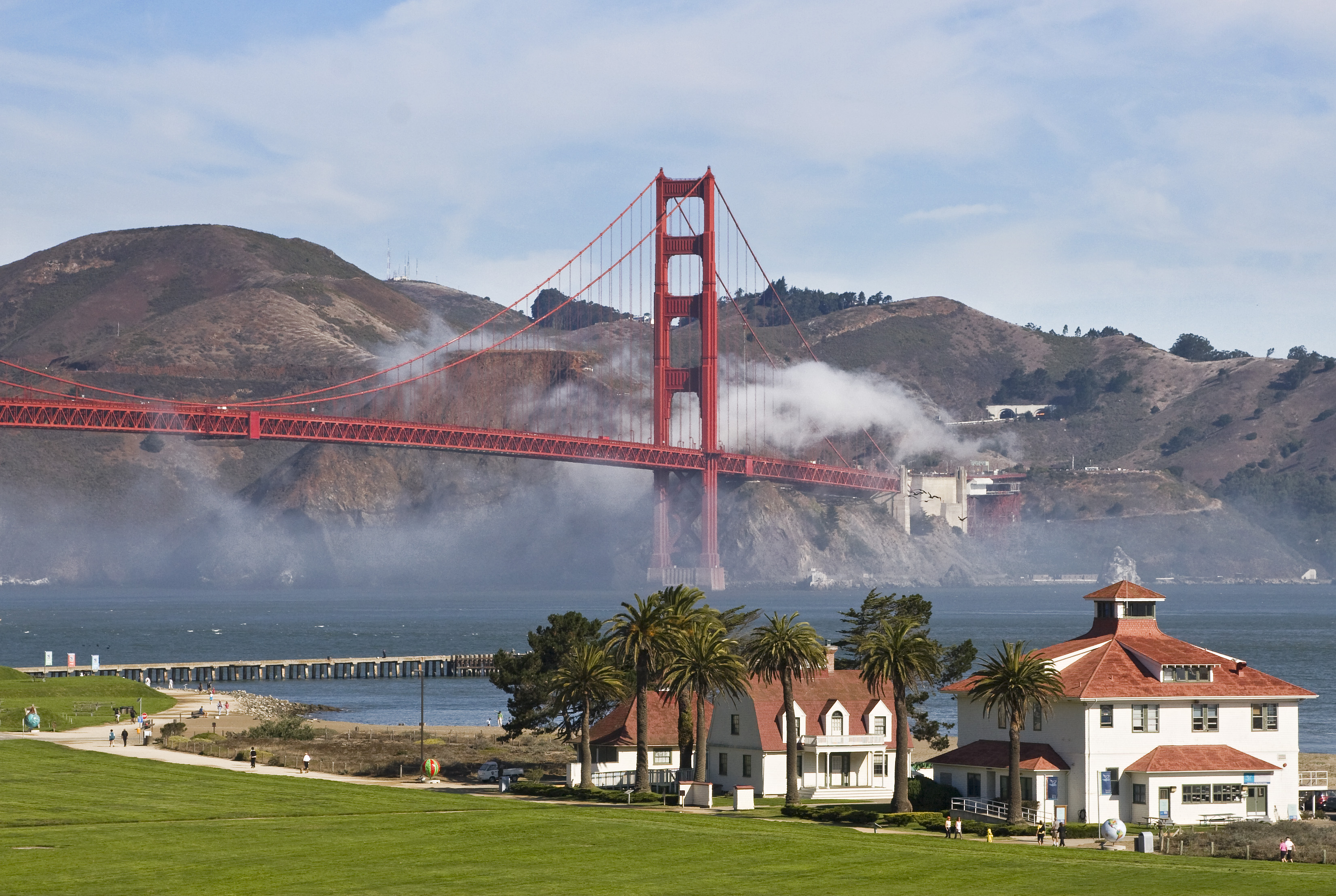
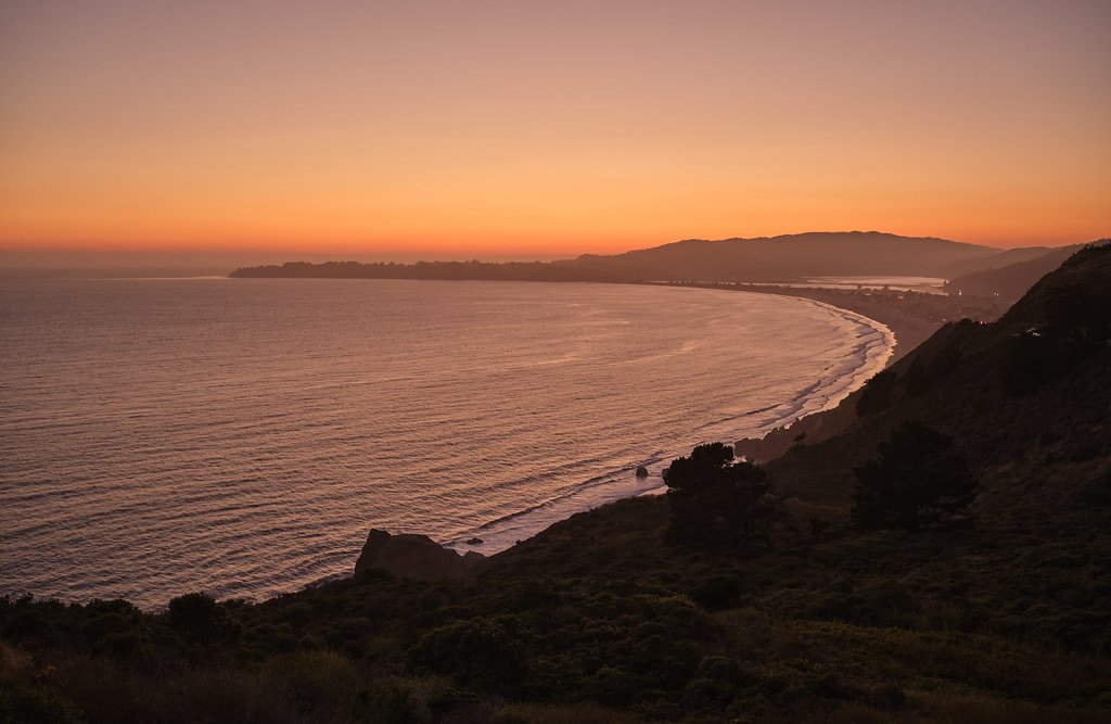
Golden Gate National Recreation Area wraps around the mouth of San Francisco Bay — Marin Headlands to the north, the Presidio and Ocean Beach to the south — and the paddling it holds is almost entirely salt water: open bay, coastal coves, and the strait itself.
San Francisco Bay is the primary paddling water inside the park. The Golden Gate strait funnels water from roughly 40 percent of California's drainage through a channel about a mile wide and 300 feet deep, and the tidal exchange that results is not subtle.
Currents through the Gate run strong enough that guided trips time their launches to the tides, and even experienced paddlers treat a flood tide pushing against an outbound paddle as a reason to turn around.
Water temperature in the bay stays cold year-round — the old line about Alcatraz escapes being suicidal by swim is grounded in reality, not folklore. A wetsuit is not optional gear here.
Horseshoe Cove at Fort Baker in the Marin Headlands is the primary put-in for trips heading under the bridge. From there, paddlers work along the Marin Headlands shoreline, staying close to shore and out of the shipping lanes.
Overnight mooring and anchoring at Horseshoe Cove is prohibited.
Alcatraz Island sits in the middle of the bay, but landing any privately-owned vessel there without a permit from the Superintendent is prohibited; during the Alcatraz seasonal closure, from February 1 through September 30, boats are barred from within 300 feet of most of the island's shoreline entirely.
Several areas within the park are closed to all vessels — kayaks and paddleboards included. Bird Rock in Marin County has a 300-foot closure for nesting seabirds.
Point Bonita Cove and its marine area out to 300 feet offshore are closed for marine mammal haul-out habitat. Redwood Creek, Rodeo Lagoon, and Rodeo Lake in the Marin Headlands are all off-limits to boating.
These aren't suggestions — they're federal closures, and they reflect how tightly managed this landscape is compared to open coastal paddling outside the park boundary.
The Sausalito waterfront, launching near the Bay Model, gives access to views of Angel Island and Alcatraz and a long fetch toward the bridge without committing to the Gate itself — a reasonable line for paddlers who want bay conditions without the full tidal gauntlet.
What makes paddling here different from most places isn't the scenery, though the bridge seen from water level is genuinely unlike anything else.
It's the density of regulation, the cold water, the shipping traffic, and the tidal hydraulics all converging in the same few square miles. Know the closures before you launch, check the tide tables the way you'd check a gauge reading, and dress for immersion.
The park will hold you to it.
Top waters to paddle near Golden Gate National Recreation Area

Water and weather conditions (10 day forecast)
See the best times to paddle Golden Gate National Recreation Area and check the forecast before you go.
No forecast data available.
Park alerts & road status
Closures and conditions Golden Gate National Recreation Area has posted, from the National Park Service.
Checking the park's alerts…
Hours & fees
When Golden Gate National Recreation Area is open and what it costs to get in, from the National Park Service.
Hours
Open 24 hoursAlthough this urban park is accessible 24 hours a day in most areas, most parking lots are open between sunrise to sunset.
Entrance fees
No entrance fee is listed for this park.
Paddle smarter with real-time insights
Whether you're en route and conditions shift or you're looking for the best spot based on current flows, we enable you to make informed decisions on the fly.







Paddling near Golden Gate National Recreation Area
Loading...
Gateway towns
Where to base yourself for paddling in Golden Gate National Recreation Area.
The park's sites—Presidio, Alcatraz, Fort Mason, Crissy Field—are within the city, with hostels, hotels, and transit access throughout.
Gateway to the Marin Headlands side of the park, with Cavallo Point Lodge at Fort Baker and easy access to coastal trails.
Serves as a base for the Marin County portions of the park, including Muir Woods and the Marin Headlands trailheads.
Explore Golden Gate National Recreation Area
Top paddling waters
Popular Cities
Loading popular cities...

Smarter Paddling Starts in the App.
Paddleways gives you everything you need to plan smarter, paddle better, and own every trip from first launch to takeout.