Martha Lake
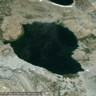
Martha Lake
- Boat Ramps
- 0
- Access Points
- 0
- Campsites
- 0
Martha Lake is located within Kings Canyon National Park, where it sits on the Le Conte Divide southwest of Mount Goddard. The lake serves as the source of the south fork of the San Joaquin River and provides access to Hell for Sure Pass via what is considered the easiest route.
The lake's high alpine environment creates unique conditions for paddlers. Due to its elevation, Martha Lake can remain frozen well into the summer months, with complete ice coverage possible even in August. This makes seasonal timing critical for any paddling plans.
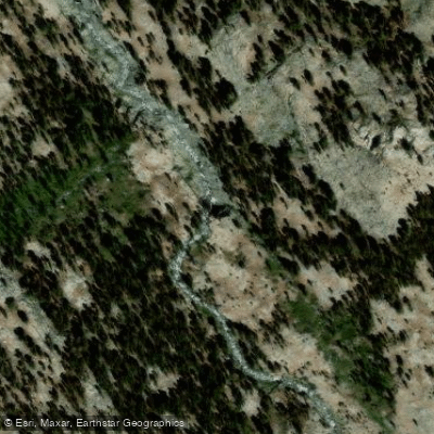
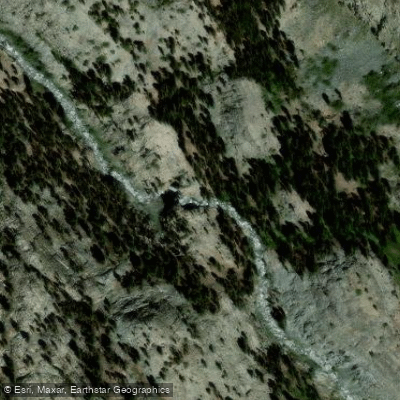
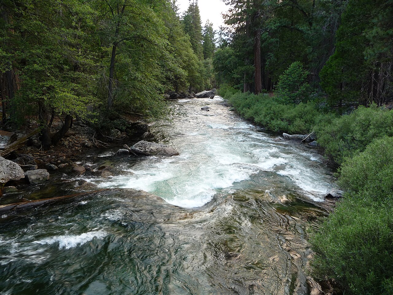
The lake's outflow creates the beginning of a whitewater section that extends approximately 5 miles to the northwestern boundary of Kings Canyon National Park. This downstream section features Class III-IV rapids, with potential Class V conditions during higher flows. The ideal flow range for the river section is between 500-1500 cubic feet per second.
Access requires proper permits for overnight stays within Kings Canyon National Park, and visitors must follow Leave No Trace principles. The area around Martha Lake offers views of surrounding peaks including Mount Reinstein, providing a dramatic backdrop for paddling excursions.
For paddlers considering this destination, it's important to note that the high elevation and remote location require careful preparation and consideration of weather conditions. Flash floods are possible during heavy rainfall periods, adding an additional safety consideration for those planning to paddle either the lake or its outflow.
Water access, boat ramps & amenities
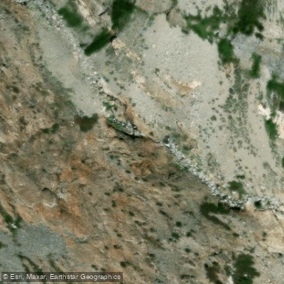
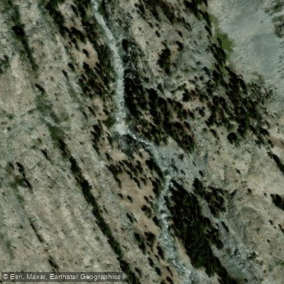
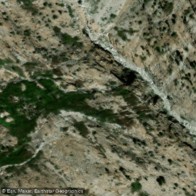
Learn how to get on Martha Lake. Uncover great paddling access points, boat ramps, and all the facilities you need for an unforgettable day on the water. Some locations shown may border or include private property. Always check property boundaries and applicable regulations before visiting. PaddleWays's Public & Private Land layer can help you plan your access with confidence.
Paddle smarter with real-time insights
Whether you're en route and conditions shift or you're looking for the best spot based on current flows, we enable you to make informed decisions on the fly.








Find Places to Paddle

Over 400,000 Places to Paddle
Every user gets free access to launch points, boat ramps, and public property parcels.


Water and weather conditions (10 day forecast)
See the best times to paddle Martha Lake and check the forecast before you go.
No forecast data available.
Paddling near Martha Lake
Kings River
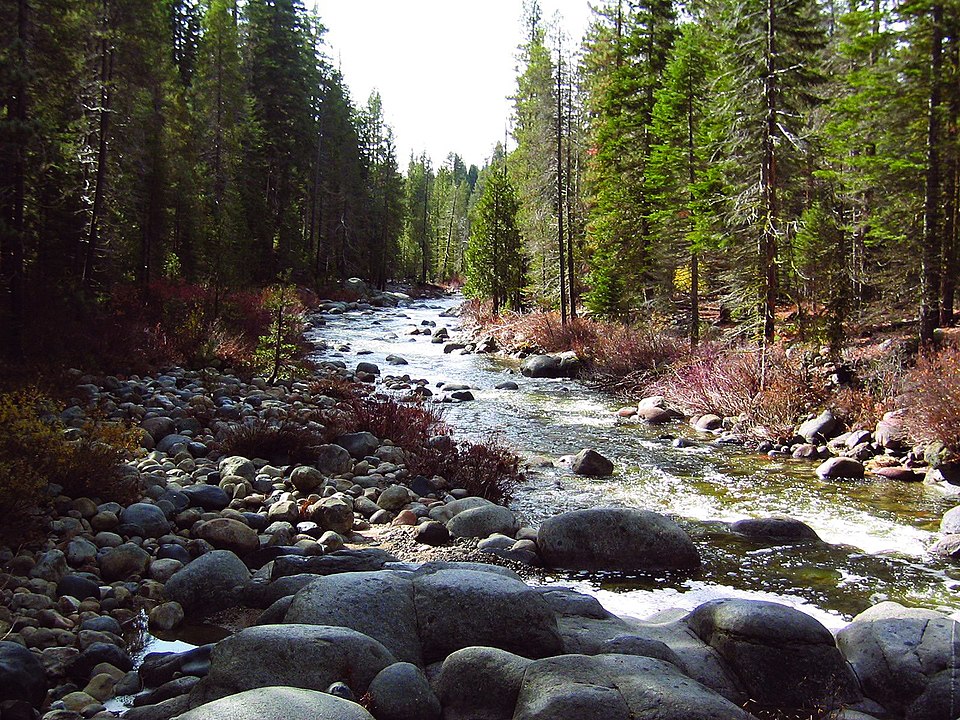
Dinkey Creek

San Joaquin River
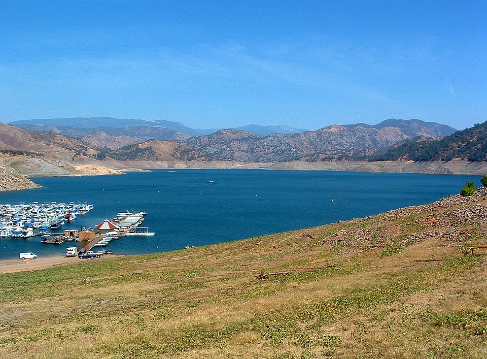
Pine Flat Lake
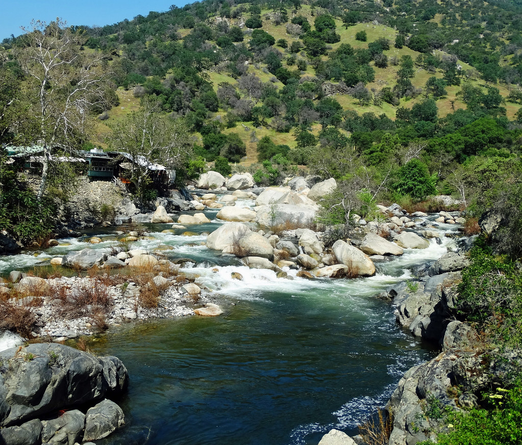
Kaweah River
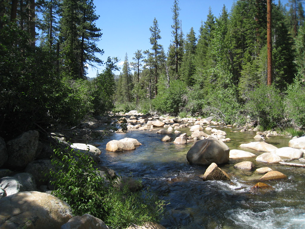
South Fork San Joaquin River
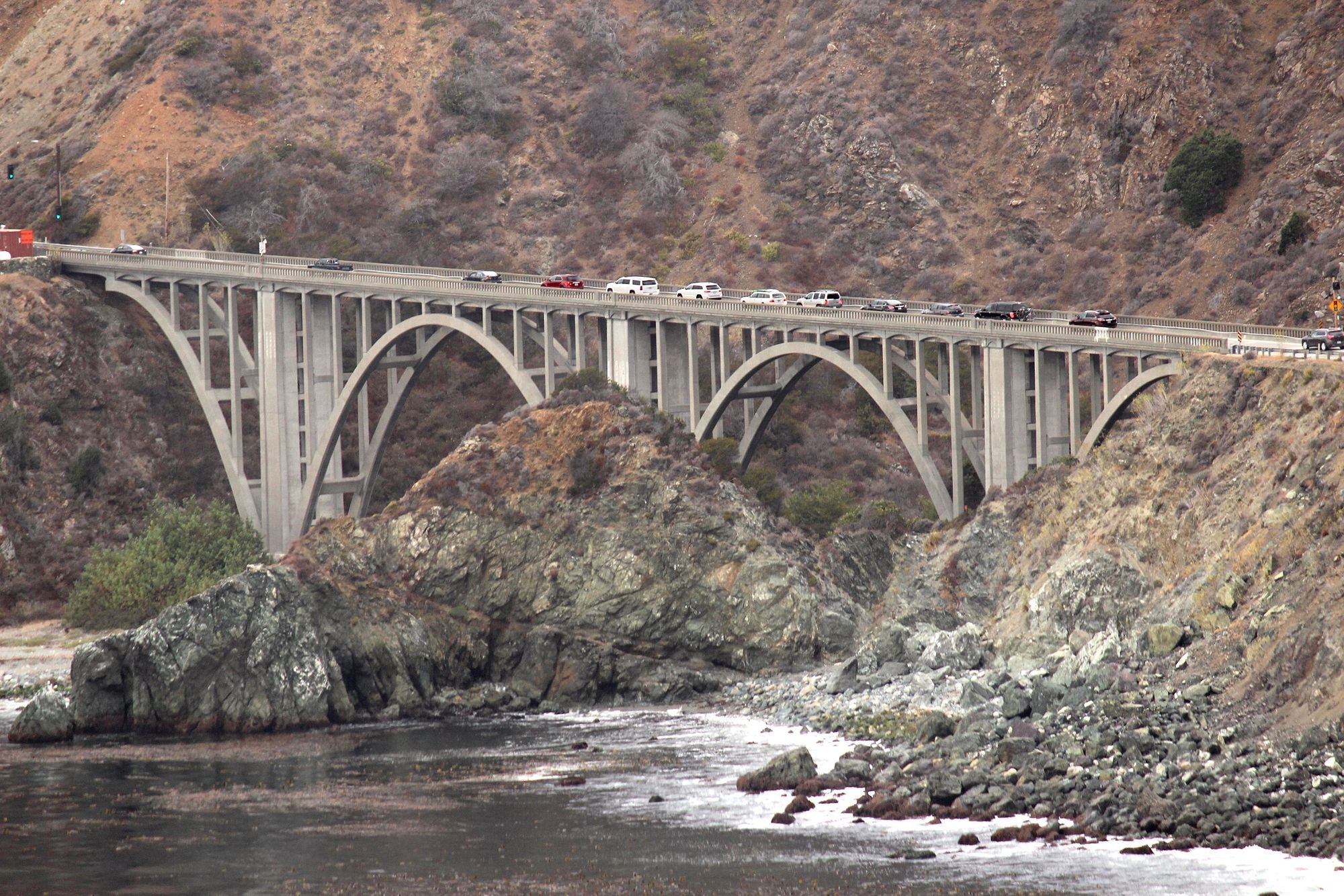
Big Creek
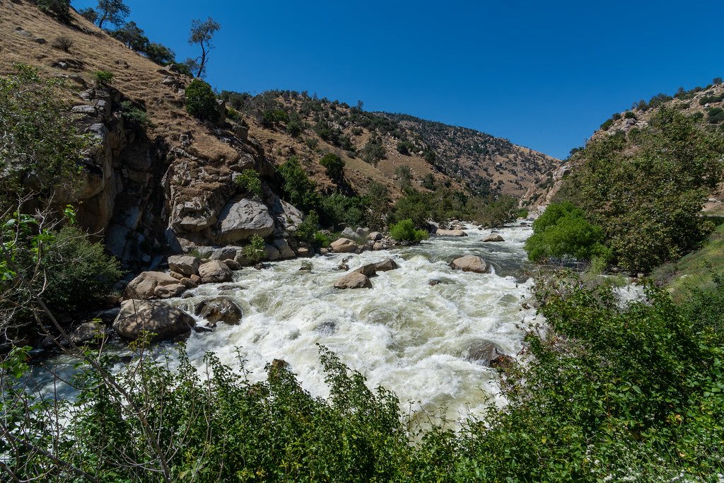
Kern River
Wishon Reservoir
South Fork Bishop Creek
Explore California waters
Top paddling waters
Popular Cities
Loading popular cities...
Explore near Martha Lake

Smarter Paddling Starts in the App.
Paddleways gives you everything you need to plan smarter, paddle better, and own every trip from first launch to takeout.