Daddys Creek
Daddys Creek
- Boat Ramps
- 0
- Access Points
- 0
- Campsites
- 3
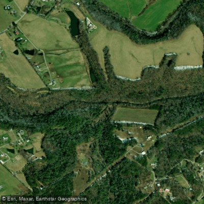
Daddy's Creek is a scenic and challenging whitewater river located in eastern Tennessee's Cumberland Plateau. Originating near Crossville, the creek flows generally northwest for approximately 45 miles before joining the Obed River. Its primary watershed drains portions of Cumberland and Morgan counties. The creek offers a variety of paddling opportunities, from mild Class I-II sections in its upper reaches to intense Class III-V whitewater in Daddy's Creek Canyon.
The most popular run is the 8.35-mile Daddy's Creek Canyon section from Antioch Bridge to Peavine Road, featuring Class II-III rapids that can reach Class IV at high water. Upstream, milder sections like Big Lick to Meridian Bridge (13 miles) and Center Bridge to Antioch Bridge (9 miles) provide options for intermediate paddlers. Skill requirements vary significantly by section, with the canyon demanding solid Class III-IV whitewater experience. The creek's difficulty is highly dependent on water levels, with flows above 3.2 feet at Antioch Bridge creating more challenging conditions.
The best paddling season is typically winter and spring when rainfall and snowmelt provide adequate flows. Summer and fall often see lower water levels suitable only for the mildest sections.
Daddy's Creek flows through a rugged, forested landscape characteristic of the Cumberland Plateau. The canyon section offers spectacular scenery with towering cliffs and diverse flora including hemlock, oak, and mountain laurel. Wildlife such as turkey, deer, and various bird species inhabit the surrounding forests. Key landmarks include the Devil's Breakfast Table, a unique rock formation near the confluence with the Obed River. The historic Antioch Bridge serves as a popular put-in point for the canyon run.
Primary access points include Big Lick, Meridian Bridge, Center Bridge, Antioch Bridge, and Peavine Road. The nearest towns are Crab Orchard and Crossville.
The creek holds cultural significance as part of the Obed Wild and Scenic River system, preserving the natural character of the waterway. It has long been a destination for outdoor enthusiasts and played a role in the region's logging history.
Safety considerations include fluctuating water levels, strainers, and limited cell phone coverage in the canyon. Paddlers should check current conditions and be prepared for self-rescue. Some sections flow through the Catoosa Wildlife Management Area, where seasonal hunting may occur.
For experienced paddlers, multi-day trips are possible by combining Daddy's Creek with runs on the Obed River and nearby Clear Creek, creating a comprehensive tour of the region's whitewater offerings.
Water access, boat ramps & amenities
Learn how to get on Daddys Creek. Uncover great paddling access points, boat ramps, and all the facilities you need for an unforgettable day on the water. Some locations shown may border or include private property. Always check property boundaries and applicable regulations before visiting. PaddleWays's Public & Private Land layer can help you plan your access with confidence.
Paddle smarter with real-time insights
Whether you're en route and conditions shift or you're looking for the best spot based on current flows, we enable you to make informed decisions on the fly.








Find Places to Paddle

Over 400,000 Places to Paddle
Every user gets free access to launch points, boat ramps, and public property parcels.


Water and weather conditions (10 day forecast)
See the best times to paddle Daddys Creek and check the forecast before you go.
DADDYS CREEK NEAR HEBBERTSBURG, TN
Paddling near Daddys Creek
Caney Fork

Tennessee River
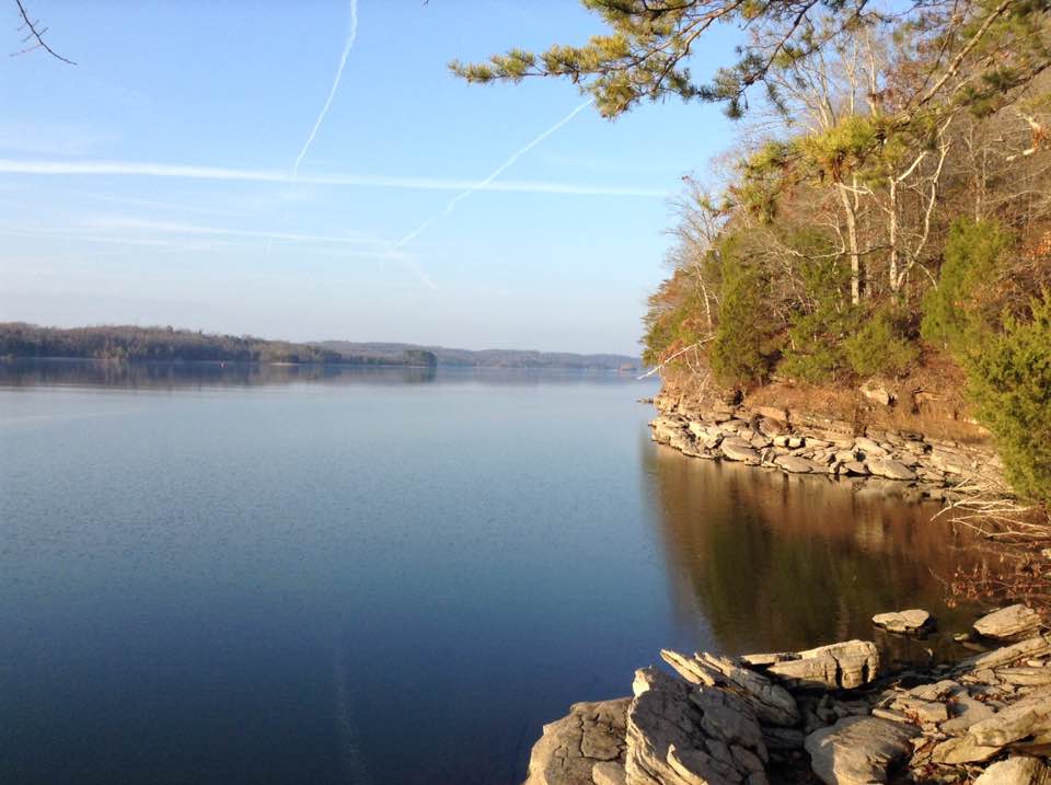
Watts Bar Lake
Clinch River
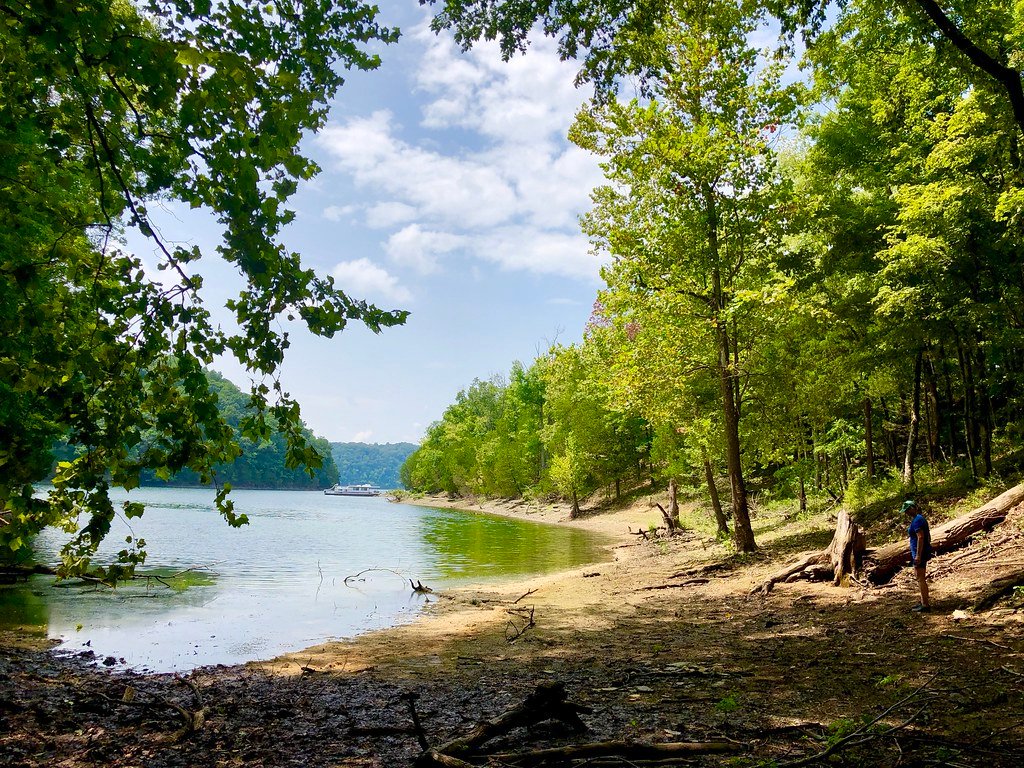
Dale Hollow Lake
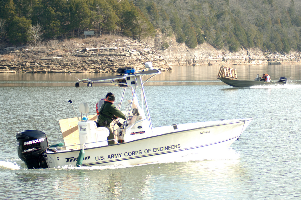
Center Hill Lake
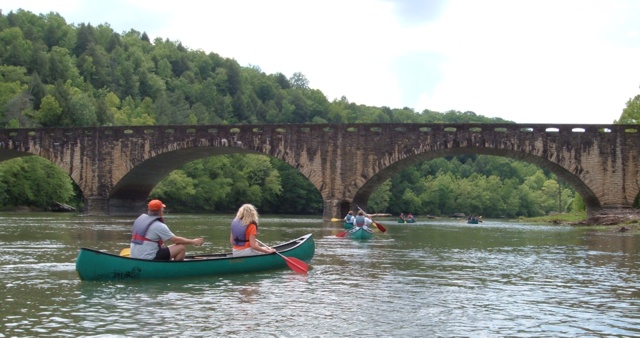
Cumberland River
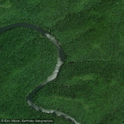
Big South Fork Cumberland River
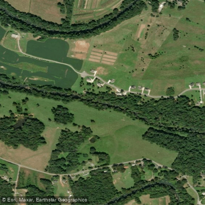
Collins River
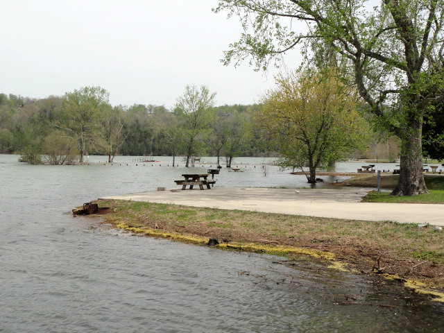
Obey River
Explore Tennessee waters
Top paddling waters
Popular Cities
Loading popular cities...
Explore near Daddys Creek
Access points
Nearby waters
More in Tennessee

Smarter Paddling Starts in the App.
Paddleways gives you everything you need to plan smarter, paddle better, and own every trip from first launch to takeout.