Curated by PaddleWays
RouteClass II
- Distance
- 7 mi
- Paddle time
- ~2.5 hrs
- Best for
- Kayak
- Put-in → take-out
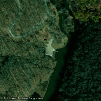
- Laurel Hill Lake Boat Ramp → Kings Covered Bridge Access
Whipkey Dam requires portaging
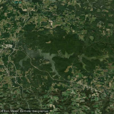
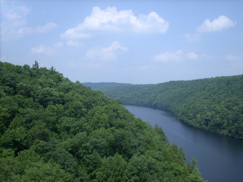
Laurel Hill Creek is a scenic 39.9-mile tributary of the Casselman River located in Somerset County, Pennsylvania. Originating on the eastern slopes of Laurel Hill in the Laurel Highlands, the creek flows northward through forested valleys before joining the Casselman River near the aptly-named town of Confluence.
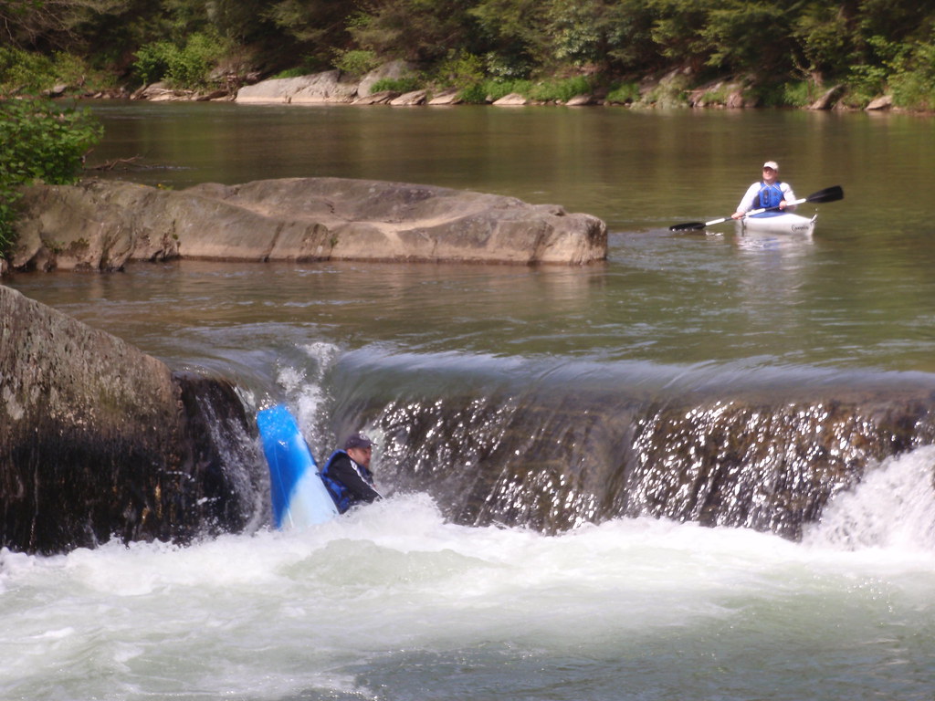
Paddlers can enjoy several sections of Laurel Hill Creek, ranging from flatwater to Class II+ whitewater. The most popular run is the 16.2-mile stretch from Laurel Hill State Park to Ursina, offering a mix of gentle rapids and flowing water suitable for intermediate paddlers. A shorter 8-mile section from Whipkey Dam to Covered Bridge Road provides Class I-III rapids. For beginners, Laurel Hill Lake in the state park offers calm flatwater paddling.
The creek is typically paddleable from spring through fall, with the best water levels occurring after rainfall. Late spring and early summer tend to offer ideal conditions. The surrounding landscape features hemlock forests, rolling hills, and pastoral farmland. Wildlife like deer, turkey, and various bird species can often be spotted along the shores.
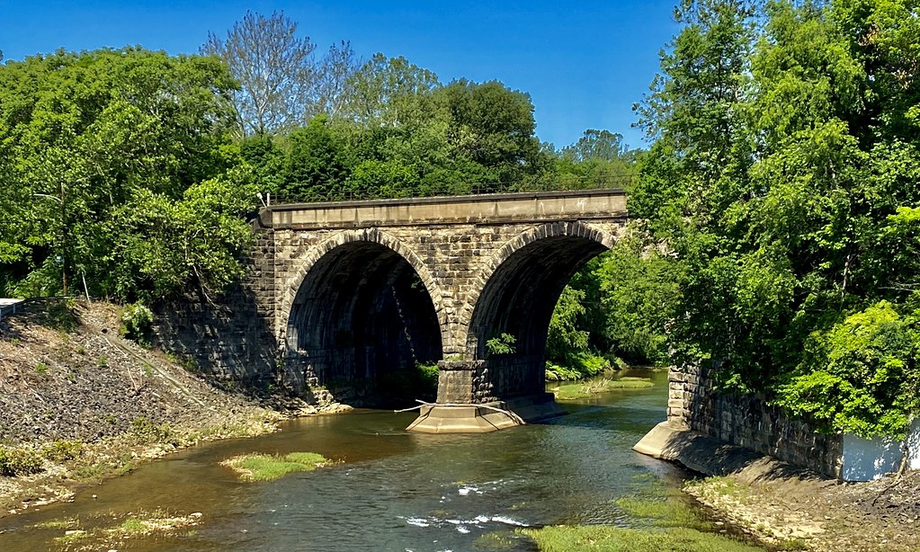
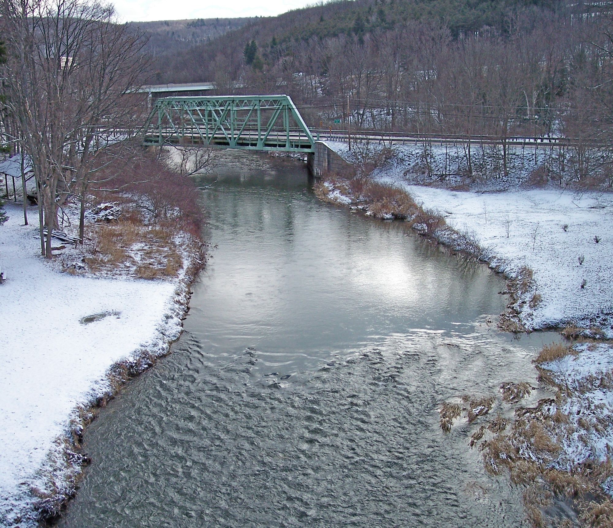
Notable landmarks include several historic covered bridges, such as Kings Covered Bridge and Lower Humbert Covered Bridge. Whipkey Dam is a key feature, requiring a portage but creating an interesting paddling experience above and below. Laurel Hill State Park serves as a primary access point, offering camping, hiking trails, and other amenities.
Main put-in locations include Laurel Hill State Park, Whipkey Dam Road, and various bridge crossings. Take-outs are available at Ursina, Kings Covered Bridge, and other road access points. The nearby towns of Somerset and Confluence provide services for paddlers.
Safety considerations include watching for strainers, especially after high water events, and being prepared for remote stretches with limited cell service. All paddlers should wear life jackets and follow Pennsylvania boating regulations. For those seeking a multi-day adventure, it's possible to combine Laurel Hill Creek with sections of the Casselman River for an extended trip through the picturesque Laurel Highlands region.
Curated routes
Hand-picked by the PaddleWays team, with put-ins, take-outs, paddle times and the hazards along the way.
RouteClass II
RouteClass II
Hazards
No paddler has reported a hazard here yet, so these are the dams, falls and big rapids on our map. Hazards change with flows and storms, so check them before you launch.
From the community
Nobody has shared a trip on Laurel Hill Creek yet. Paddle it, then tell the next paddler how it went.
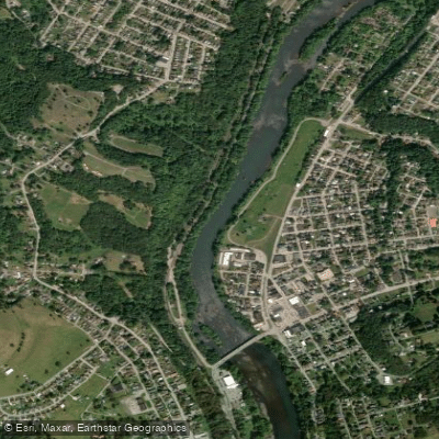
See exactly where the public can get on and off the river. Launch points and boat ramps are paired with PaddleWays' public land data so you know where you can legally land.
Public shoreline
37%of the river's shoreline is public
Most of the riverbank is private. Launch, land and camp only at public access points.
Flows, weather and a route-by-route verdict, so you know which stretch of the Laurel Hill Creek is worth paddling today.
Live flows, marked hazards and fresh trip reports from paddlers who were just on the water, all in one place.





Every user gets free access to launch points, boat ramps, and public property parcels.

Loading popular cities...
PaddleWays gives you everything you need to plan smarter, paddle better, and own every trip from first launch to takeout.