Curated by PaddleWays
RouteFlatwater
- Distance
- 6.3 mi
- Paddle time
- ~2 hrs
- Put-in → take-out
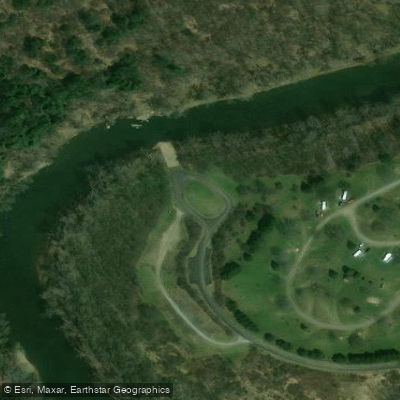
- State Route 839 Access → Mahoning Creek Dam Section Access
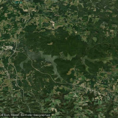
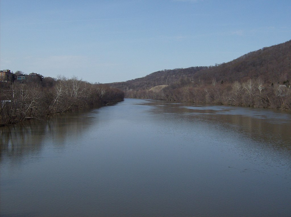
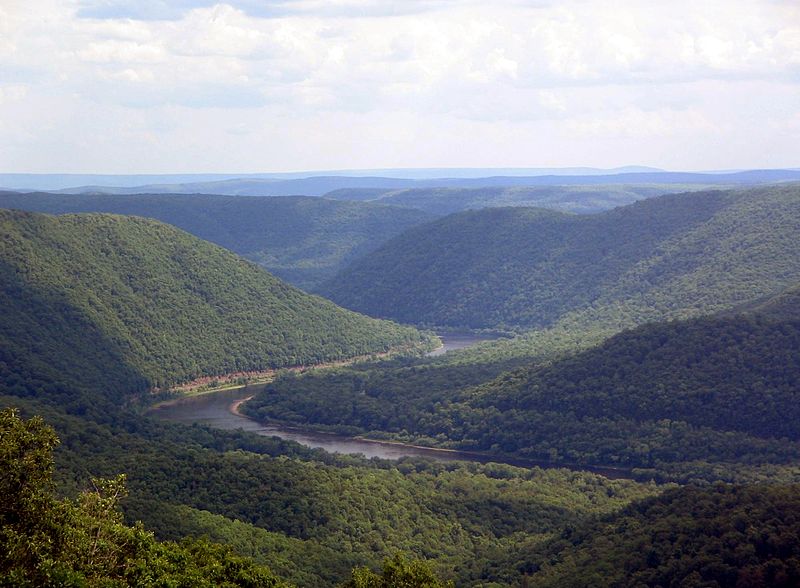
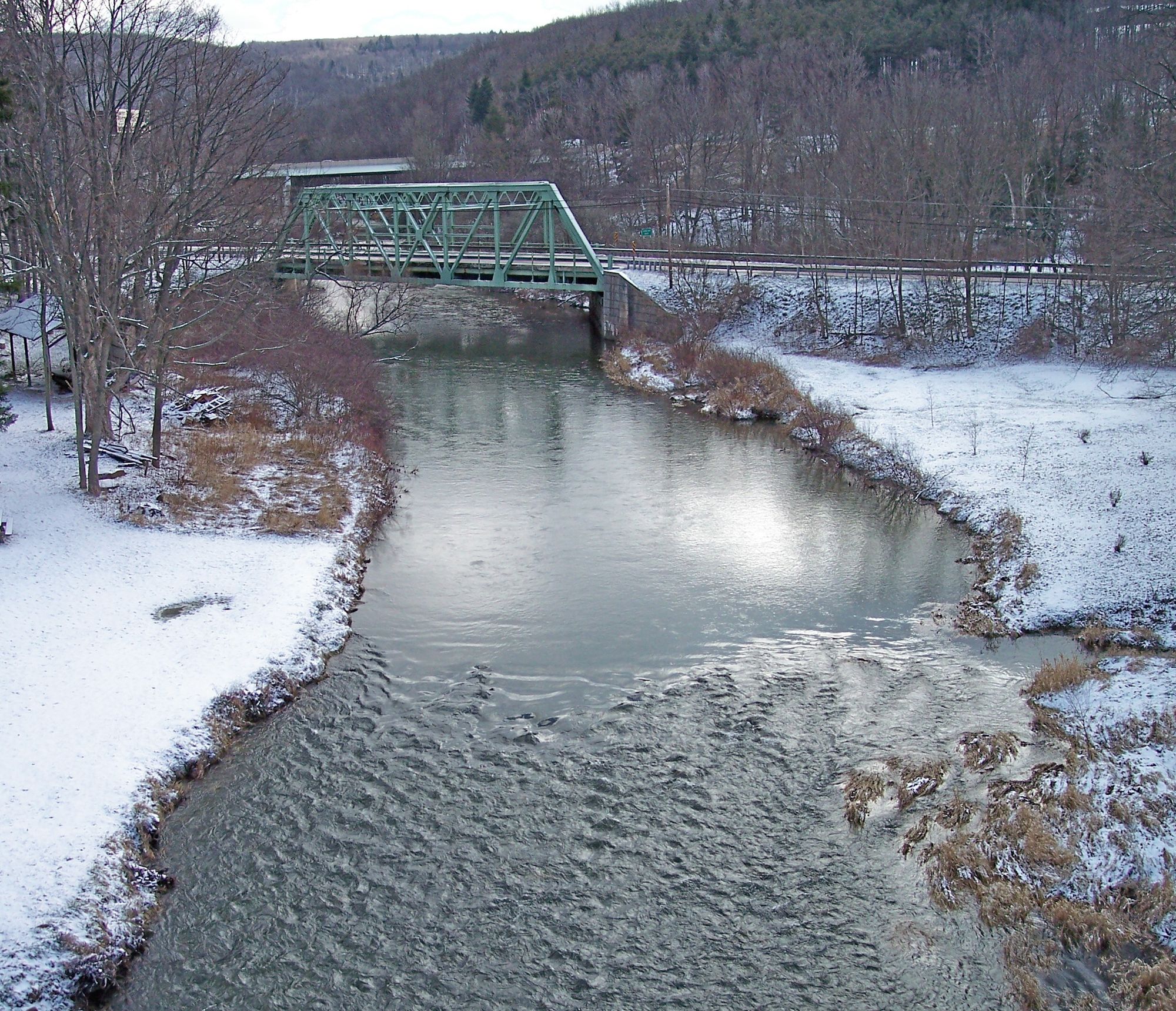
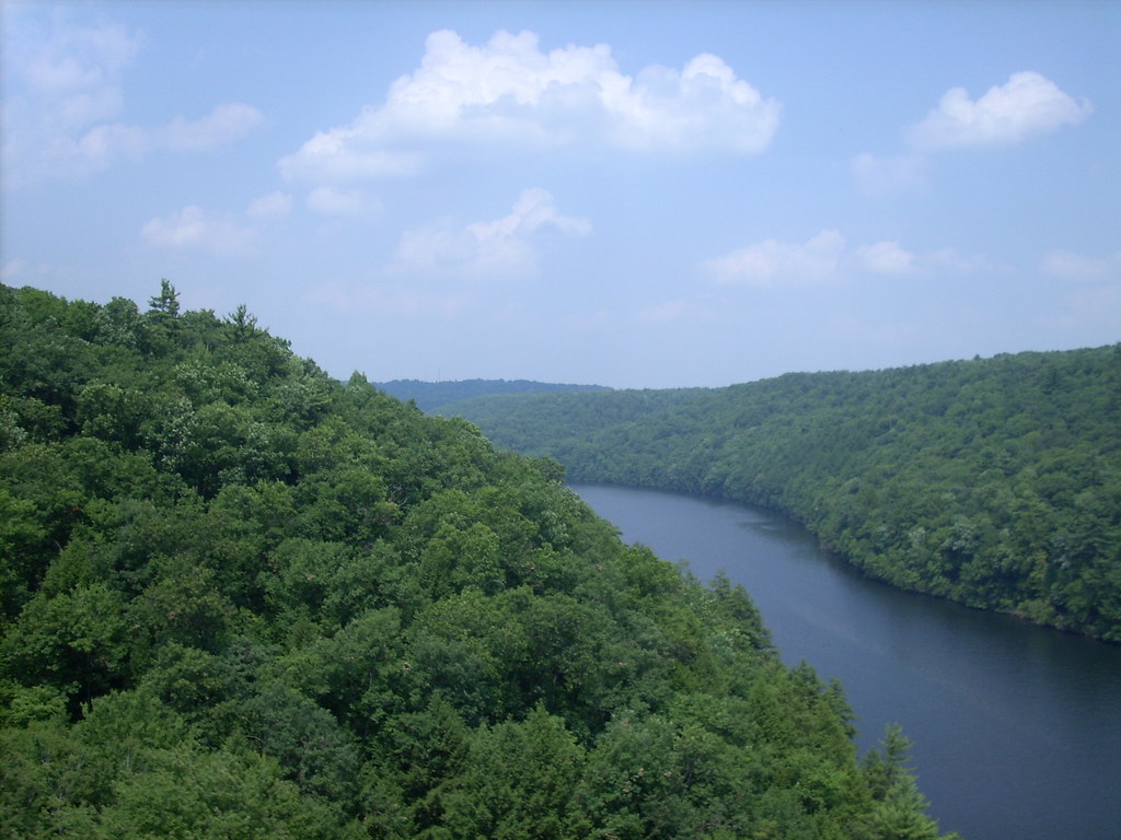
Mahoning Creek originates in Jefferson County near Punxsutawney, formed by the confluence of East Branch Mahoning Creek and Stump Creek. The waterway flows approximately 60 miles westward through Jefferson, Indiana, and Armstrong Counties before joining the Allegheny River near Templeton. The U.S. Army Corps of Engineers' Mahoning Creek Dam, completed in 1941, creates a flood control reservoir that significantly influences the river's character and recreational opportunities.
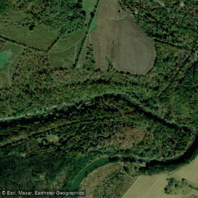
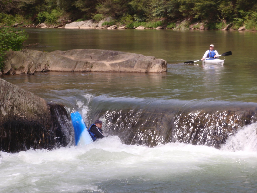
The creek presents varied paddling experiences across its length. Upstream sections from Punxsutawney through Valier wind through agricultural valleys with Class I-II conditions suitable for beginners and families. The reservoir section behind Mahoning Dam offers flatwater paddling extending approximately 5.5 miles at summer pool levels, with a 10-horsepower limit on motorized craft maintaining a peaceful atmosphere. Below the dam, the river cuts through steep-sided valleys with forested hillsides, creating swift chutes and standing waves between McCrea Furnace and Putneyville—the most technical stretch requiring intermediate skills. From Putneyville to the Allegheny River confluence, the creek settles into gentle Class I water with one notable rapid before reaching backwater.
Paddling season typically runs December through May, with dam releases controlling downstream flows. The Mahoning Dam Outflow gauge provides reliable flow information, with optimal levels between 2.8 and 3.9 feet for the whitewater sections below the dam.
The watershed supports High Quality-Cold Water Fishery designation, harboring trophy-sized northern pike, walleye, muskellunge, channel catfish, crappie, and bass. The creek's relatively clean water sustains populations of freshwater mussels including state-listed species like the rainbow mussel and round pigtoe. Forested riparian corridors provide habitat for white-tailed deer, black bear, bald eagles, and diverse songbird populations.
Access points include Milton Loop Boat Launch and Sportsman's Area (both managed by Pennsylvania Fish and Boat Commission), McCrea Furnace bridge below the dam, Putneyville, and the mouth near Templeton. The nearest significant towns are Punxsutawney, Dayton, and New Bethlehem.
The Mahoning Shadow Trail, a 15-mile rails-to-trails project, parallels portions of the creek through southern Jefferson County, offering complementary recreation. The dam and reservoir area features interpretive facilities, fishing piers, and campgrounds operated by Armstrong County.
Paddlers should note that swimming is prohibited in the reservoir, and the dam's log boom marks a restricted area requiring portage. The creek passes through former coal mining regions, particularly near the mouth, though water quality has improved significantly since mining's decline. Dirt and gravel road runoff remains the primary water quality concern in agricultural areas.
Curated routes
Hand-picked by the PaddleWays team, with put-ins, take-outs, paddle times and the hazards along the way.
RouteFlatwater
RouteClass II
Hazards
No paddler has reported a hazard here yet, so these are the dams, falls and big rapids on our map. Hazards change with flows and storms, so check them before you launch.
From the community
Nobody has shared a trip on Mahoning Creek yet. Paddle it, then tell the next paddler how it went.
See exactly where the public can get on and off the river. Launch points and boat ramps are paired with PaddleWays' public land data so you know where you can legally land.
Public shoreline
20%of the river's shoreline is public
Most of the riverbank is private. Launch, land and camp only at public access points.
Flows, weather and a route-by-route verdict, so you know which stretch of the Mahoning Creek is worth paddling today.
All Flow Stations
Scheduled releases and generation forecasts from the dams on Mahoning Creek.
Mahoning Creek · Below Mahoning Creek Dam · National Weather Service
170 cfs now
Forecast updated today at 4:37 PM EST. Schedules can change, so check the operator's page before you go.
Live flows, marked hazards and fresh trip reports from paddlers who were just on the water, all in one place.





Every user gets free access to launch points, boat ramps, and public property parcels.

Loading popular cities...
PaddleWays gives you everything you need to plan smarter, paddle better, and own every trip from first launch to takeout.