Curated by PaddleWays
RouteClass II–III
- Distance
- 17.2 mi
- Paddle time
- ~4.5 hrs
- Best for
- Intermediate paddlers
- Put-in → take-out
- Route 93 Access → Nescopeck Borough Access
High water conditions can be extremely dangerous
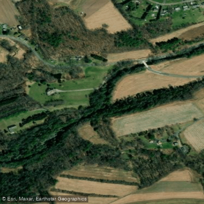
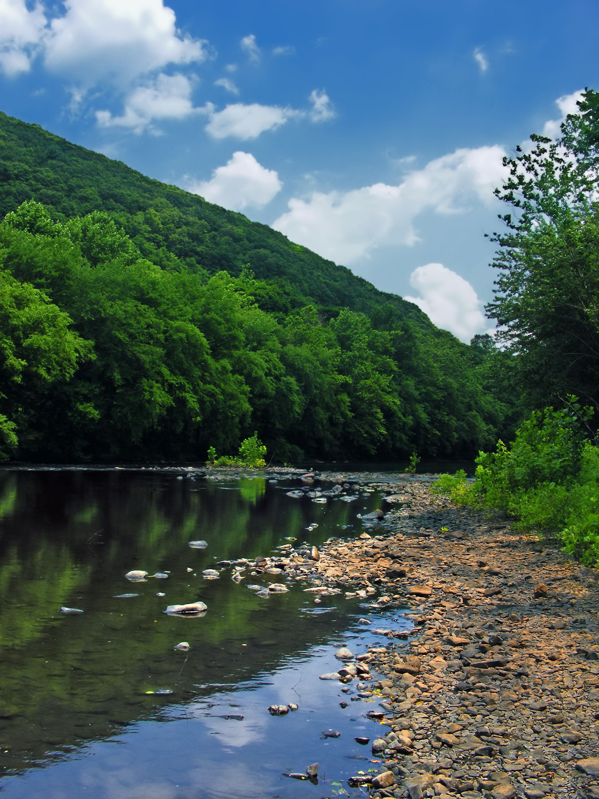
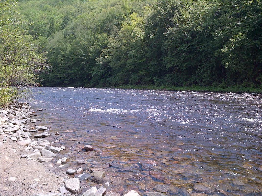
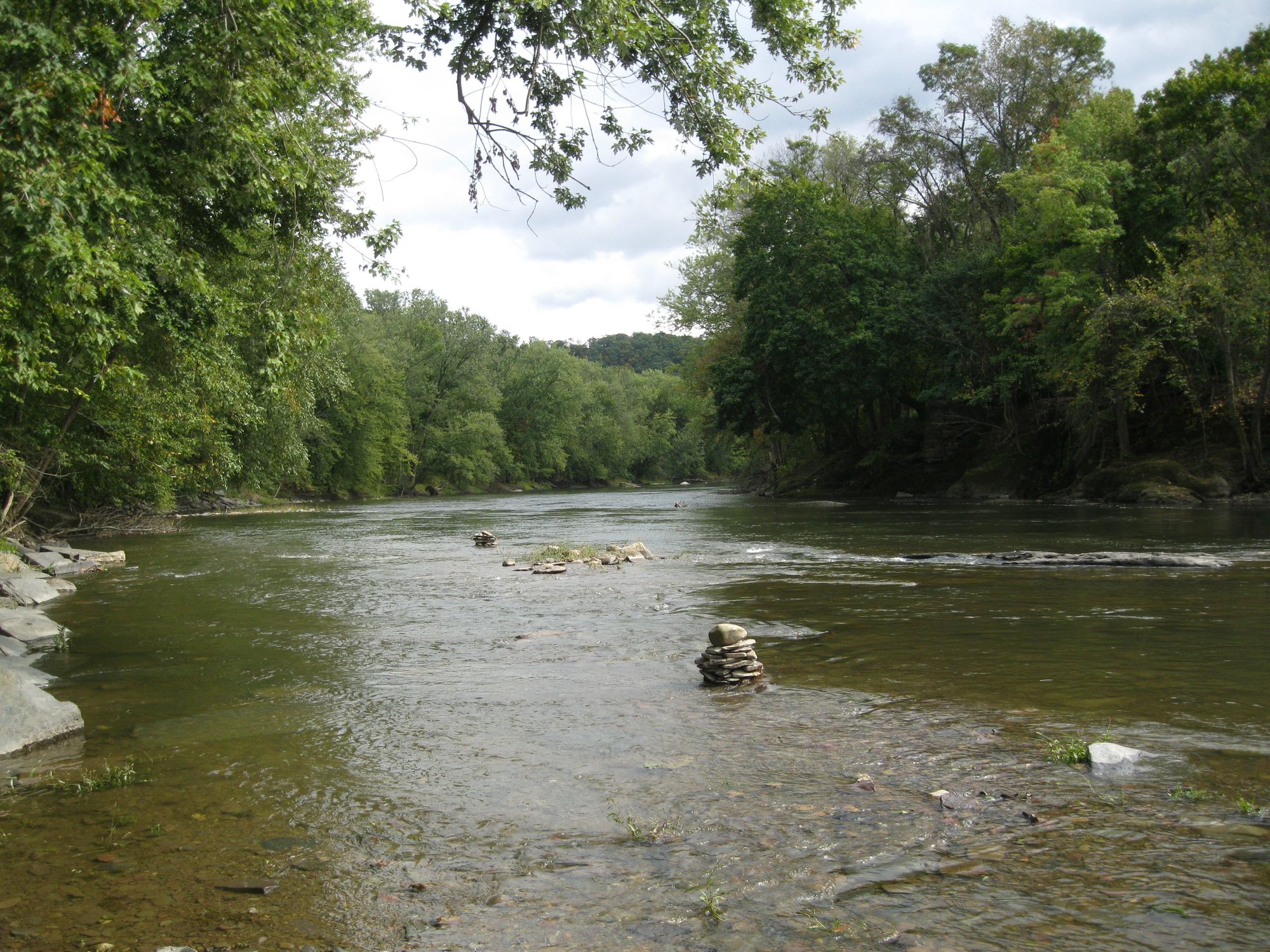
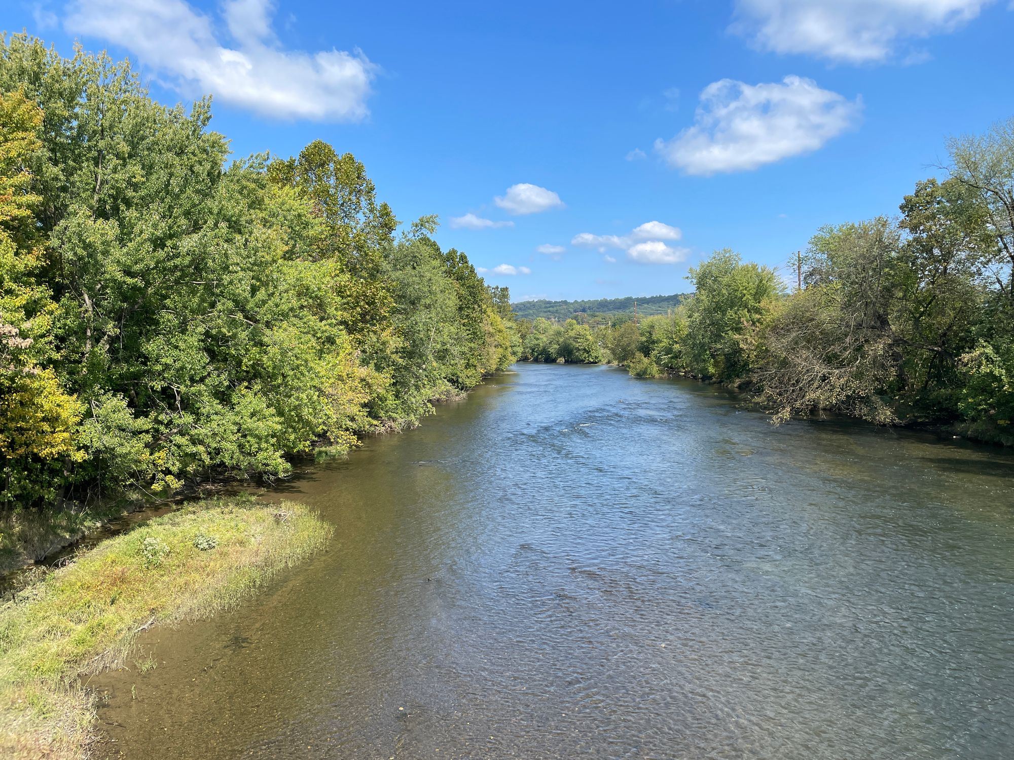
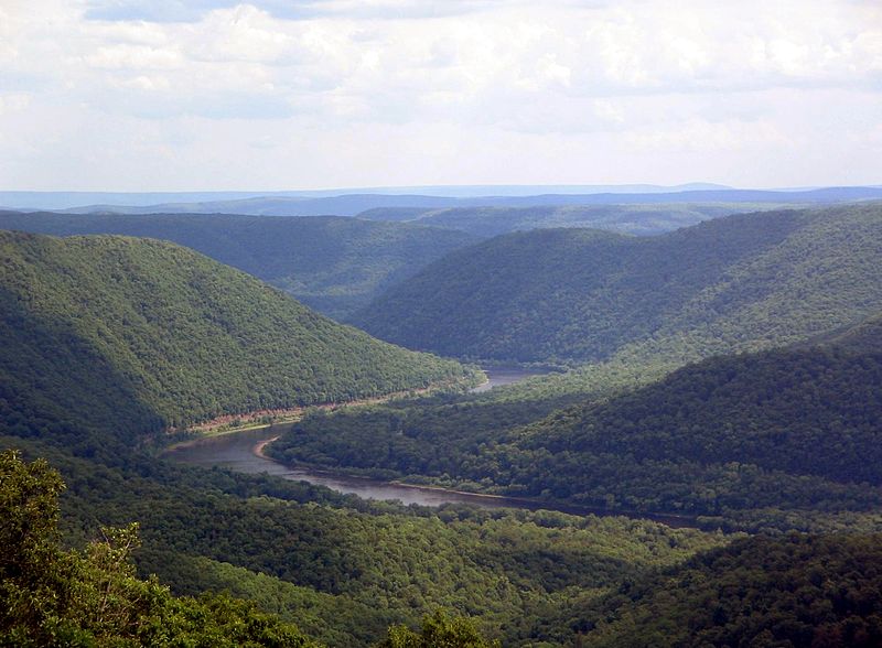
Nescopeck Creek is a scenic waterway located in northeastern Pennsylvania, flowing through Luzerne County before joining the Susquehanna River near Berwick. This 19.7-mile creek originates north of Hazleton and flows generally eastward through a picturesque gorge lined with hemlock and rhododendron forests. The creek offers diverse paddling opportunities, with its most popular section being the Nescopeck Creek Whitewater Run, also known locally as the Nesky. This stretch begins at the North Route 93 bridge in Drums and features Class II-III rapids, making it suitable for intermediate paddlers. Notable features include Eagle Rock and the Chicken Hole, a popular surfing spot. The whitewater section ends near Berwick, providing an exhilarating 19.7-mile journey.
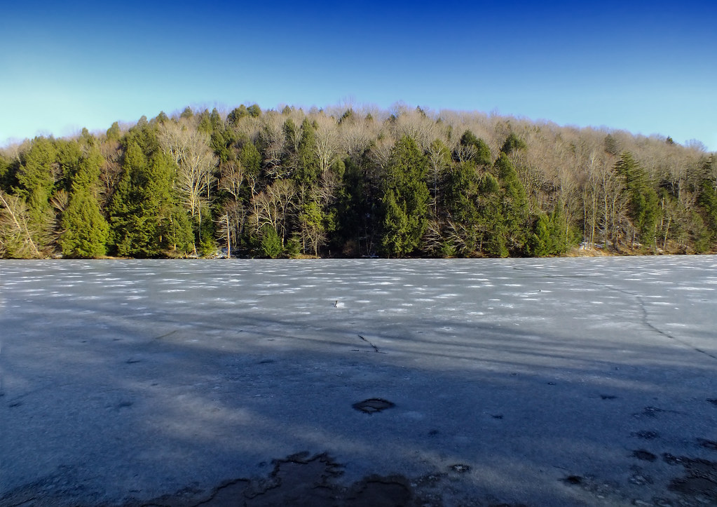
For beginners or those seeking a calmer experience, Lake Frances in Nescopeck State Park offers flatwater paddling on its 9-acre expanse. A recently installed kayak dock near the parking area facilitates easy access. The creek's difficulty ranges from flatwater to Class III, with the main whitewater section requiring proper gear and intermediate skills. Spring typically offers the best water levels, though the creek is often runnable year-round due to consistent flow from the Jeddo Tunnel.
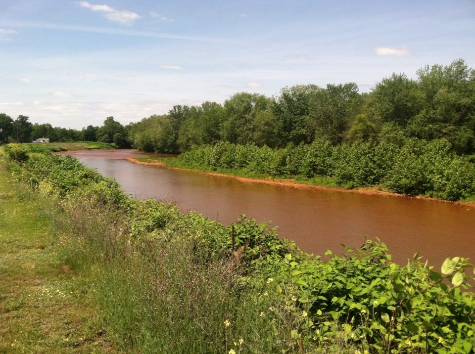
Nescopeck Creek's ecosystem supports a variety of flora and fauna. The gorge is home to dense hemlock forests and rhododendron thickets, providing habitat for diverse wildlife. However, paddlers should note the creek's distinctive turquoise color, a result of acid mine drainage from the Jeddo Tunnel, which impacts water quality but adds to the creek's unique character.
Key access points include the put-in at the North Route 93 bridge in Drums and various take-outs near Berwick. The creek passes through Nescopeck State Park, offering additional recreational opportunities and access to Lake Frances. Safety considerations include being prepared for Class II-III rapids on the main whitewater section and awareness of water quality issues. High water conditions can make the run extremely dangerous, so paddlers should check levels and weather forecasts before embarking.
While primarily a day-trip destination, the creek's length and nearby camping options in Nescopeck State Park could allow for multi-day adventures for those wishing to combine creek paddling with lake exploration and hiking. Nescopeck Creek provides a unique paddling experience in northeastern Pennsylvania, offering a blend of whitewater excitement, scenic beauty, and ecological interest, making it a favored destination for regional paddlers and nature enthusiasts alike.
Curated routes
Hand-picked by the PaddleWays team, with put-ins, take-outs, paddle times and the hazards along the way.
RouteClass II–III
Hazards
No hazards are marked on Nescopeck Creek yet. That is not the same as none being there: if you find one, report it for the next paddler.
From the community
Nobody has shared a trip on Nescopeck Creek yet. Paddle it, then tell the next paddler how it went.
See exactly where the public can get on and off the river. Launch points and boat ramps are paired with PaddleWays' public land data so you know where you can legally land.
Public shoreline
17%of the river's shoreline is public
Most of the riverbank is private. Launch, land and camp only at public access points.
Flows, weather and a route-by-route verdict, so you know which stretch of the Nescopeck Creek is worth paddling today.
No forecast data available.
Live flows, marked hazards and fresh trip reports from paddlers who were just on the water, all in one place.





Every user gets free access to launch points, boat ramps, and public property parcels.



Loading popular cities...
PaddleWays gives you everything you need to plan smarter, paddle better, and own every trip from first launch to takeout.