Curated by PaddleWays
RouteClass II–III
- Distance
- 3.7 mi
- Paddle time
- ~1 hr
- Best for
- Kayak
- Put-in → take-out
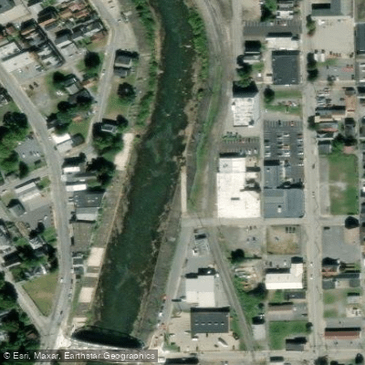
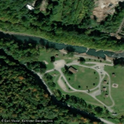
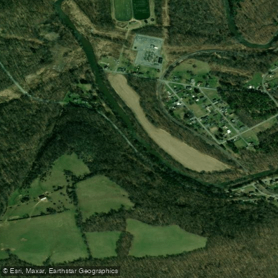
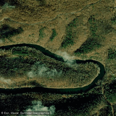
- Carpenter's Park Access → Greenhouse Park Boat Ramp
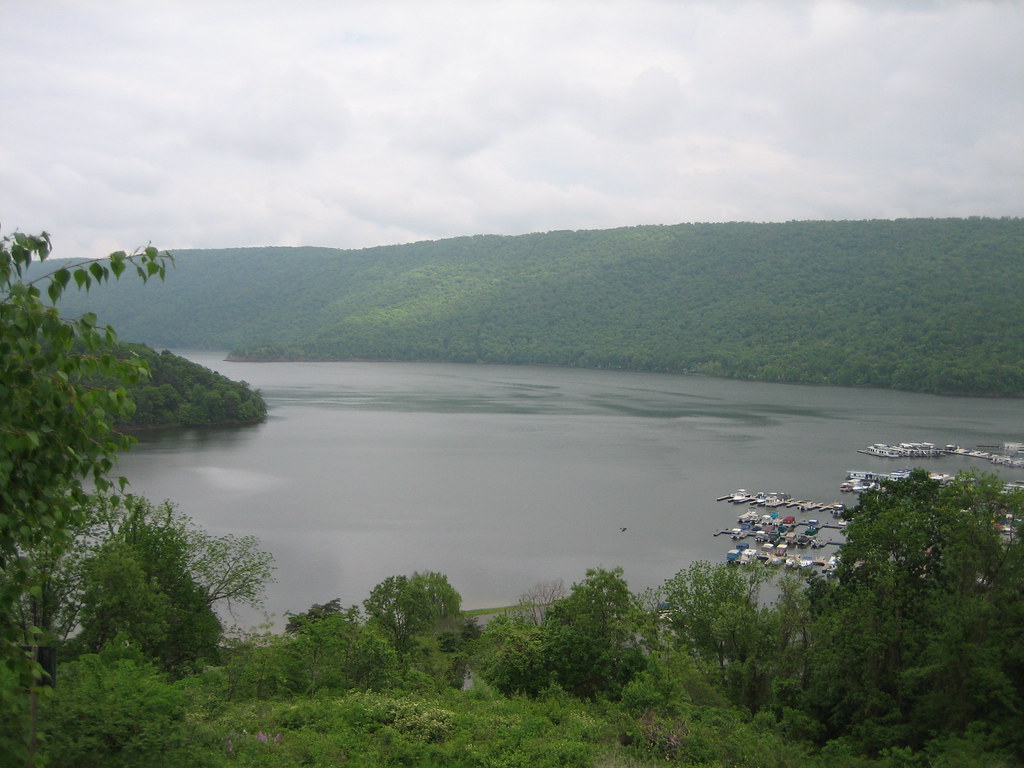
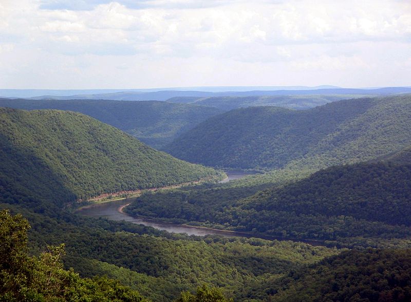
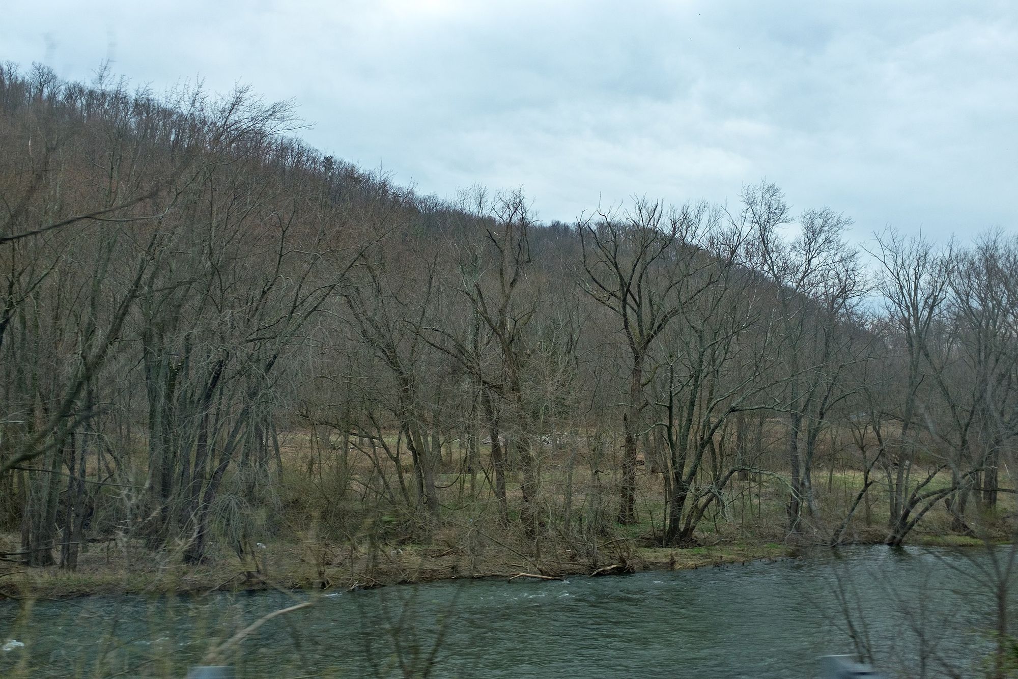
The Stonycreek River originates in Somerset County, Pennsylvania and flows northward for approximately 46 miles before joining the Little Conemaugh River in Johnstown to form the Conemaugh River. It is a major tributary in the Kiski-Conemaugh watershed, which ultimately drains into the Allegheny and Ohio Rivers. The Stonycreek offers a variety of paddling experiences, from calm flatwater sections to challenging whitewater.
The river's crown jewel is the Stonycreek Canyon, a thrilling 4-5 mile stretch between Hollsopple and Carpenter's Park featuring 15 continuous Class III-IV rapids. This section is considered one of the best whitewater runs in the eastern United States when water levels are optimal. Downstream of the canyon, the Lower Stony section from Carpenter's Park to Greenhouse Park provides a more moderate Class II-III experience suitable for intermediate paddlers. Upstream near Shanksville, the Stony Gorge section offers a scenic paddle through a narrow valley, though less is known about its specific characteristics.
The river's difficulty ranges from Class I flatwater to Class IV+ rapids in high water, with the canyon section requiring solid whitewater skills. Spring typically offers the most reliable natural flows, while summer paddling often depends on scheduled dam releases. The Stonycreek Whitewater Park near Tire Hill provides year-round playboating opportunities.
Notable wildlife includes trout, smallmouth bass, and occasional river otters. The surrounding Allegheny Mountains harbor diverse flora, including hemlock, maple, and rhododendron.
Key access points include Shanksville (near the Flight 93 National Memorial), Hollsopple, Carpenter's Park, and Greenhouse Park in Johnstown.
The river played a significant role in the region's logging and coal mining history, and its banks still bear traces of old canal systems and railway lines.
Safety considerations include cold water in spring, potential strainers, and the canyon's remote nature. All boaters should check current flow levels and wear appropriate safety gear.
For multi-day adventures, the Stonycreek forms the beginning of the 84-mile Kiski-Conemaugh River Water Trail, which continues downstream to the Allegheny River at Freeport.
Curated routes
Hand-picked by the PaddleWays team, with put-ins, take-outs, paddle times and the hazards along the way.
RouteClass II–III
RouteClass II–III
RouteClass III–IV
RouteClass III–IV
Hazards
No hazards are marked on Stonycreek River yet. That is not the same as none being there: if you find one, report it for the next paddler.
From the community
Nobody has shared a trip on Stonycreek River yet. Paddle it, then tell the next paddler how it went.
See exactly where the public can get on and off the river. Launch points and boat ramps are paired with PaddleWays' public land data so you know where you can legally land.
Public shoreline
2%of the river's shoreline is public
Most of the riverbank is private. Launch, land and camp only at public access points.
Flows, weather and a route-by-route verdict, so you know which stretch of the Stonycreek River is worth paddling today.
Scheduled releases and generation forecasts from the dams on Stonycreek River.
Stonycreek River · Stonycreek Canyon, from Foustwell · Cambria Somerset Authority
Next release Sat, Apr 10, 10:00 AM EDT to 2:00 PM EDT
Schedules can change, so check the operator's page before you go.
Live flows, marked hazards and fresh trip reports from paddlers who were just on the water, all in one place.





Every user gets free access to launch points, boat ramps, and public property parcels.
Loading popular cities...
PaddleWays gives you everything you need to plan smarter, paddle better, and own every trip from first launch to takeout.