Curated by PaddleWays
RouteClass II–III
- Distance
- 3.6 mi
- Paddle time
- ~1 hr
- Best for
- Intermediate paddlers
- Put-in → take-out
- Tohickon Creek Put-in → Tohickon Creek Take-out
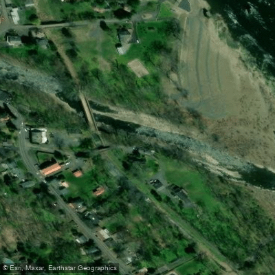
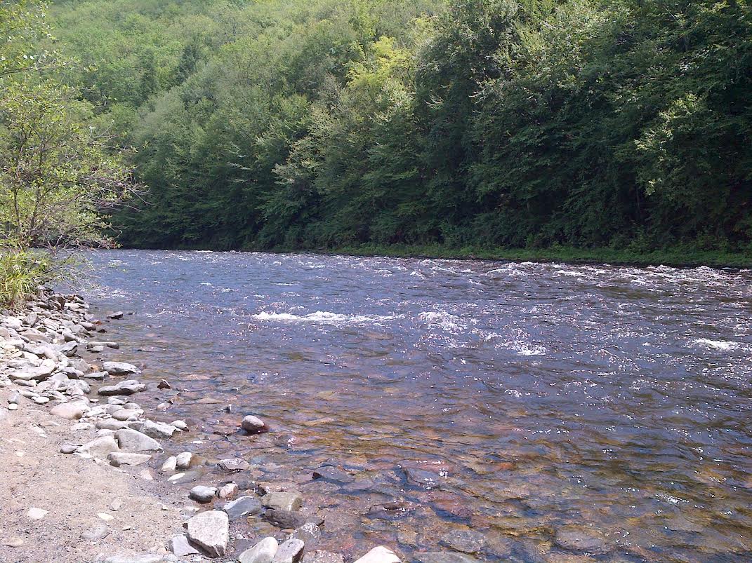
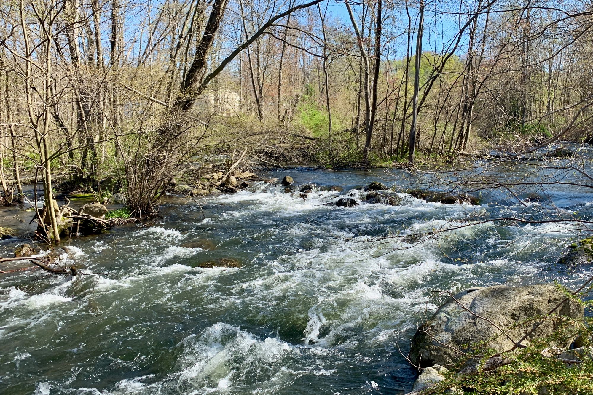
Tohickon Creek is a 29.5-mile long tributary of the Delaware River, located entirely within Bucks County in southeastern Pennsylvania. The creek originates in Springfield Township and flows generally southeast, joining the Delaware River near Point Pleasant. The creek offers diverse paddling opportunities across three main sections. The upper section from Quakertown to Pennsylvania Route 563 is a 4.7-mile stretch of Class I-III rapids, suitable for intermediate paddlers. The middle section from Lake Nockamixon Dam to Ralph Stover State Park is a scenic 7-mile paddle with mostly Class I-II rapids, ideal for beginners and intermediates. The lower section from Ralph Stover State Park to Point Pleasant is a popular 3.8-mile whitewater run with Class II-III rapids, attracting skilled paddlers from across the Northeast.
Overall, Tohickon Creek's difficulty ranges from Class I to III, requiring basic to intermediate whitewater skills. The creek is best paddled during scheduled dam releases from Lake Nockamixon, typically occurring in March and November. These releases create ideal whitewater conditions, with flow rates around 800 cfs. The creek valley is home to diverse wildlife, including over 80 bird species. The surrounding landscape features scenic countryside, forests, and dramatic cliffs at High Rocks in Ralph Stover State Park.
Key access points include Quakertown, Lake Nockamixon State Park, Ralph Stover State Park, and Point Pleasant. The creek passes through or near several small towns in Bucks County. Historically, the Tohickon Creek powered mills and supported local industry. Today, it's valued for recreation and as an important ecological corridor.
Safety considerations include cold water during spring releases and technical rapids requiring proper equipment and skills. Paddlers should be aware of strainers and other obstacles, especially in less frequently paddled sections. While primarily used for day trips, the creek's proximity to other regional paddling destinations makes it a potential component of multi-day paddling tours in eastern Pennsylvania. Tohickon Creek offers a range of paddling experiences, from peaceful floats through bucolic countryside to exciting whitewater runs, making it a cherished resource for Pennsylvania paddlers of all skill levels.
Curated routes
Hand-picked by the PaddleWays team, with put-ins, take-outs, paddle times and the hazards along the way.
RouteClass II–III
RouteClass I–III
Hazards
No paddler has reported a hazard here yet, so these are the dams, falls and big rapids on our map. Hazards change with flows and storms, so check them before you launch.
From the community
Real trips from PaddleWays paddlers: which route they ran, how the flows were, and what to watch for.
Loading trip reports

Jim P.
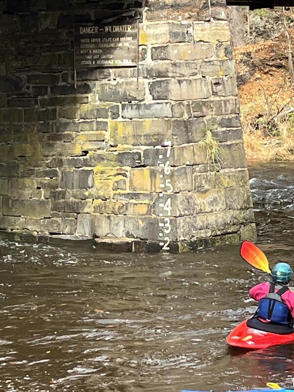
Ralph Stover State Park to Point Pleasant• 1.8 ft
Toh Fest 1 Lap 11/8/2026
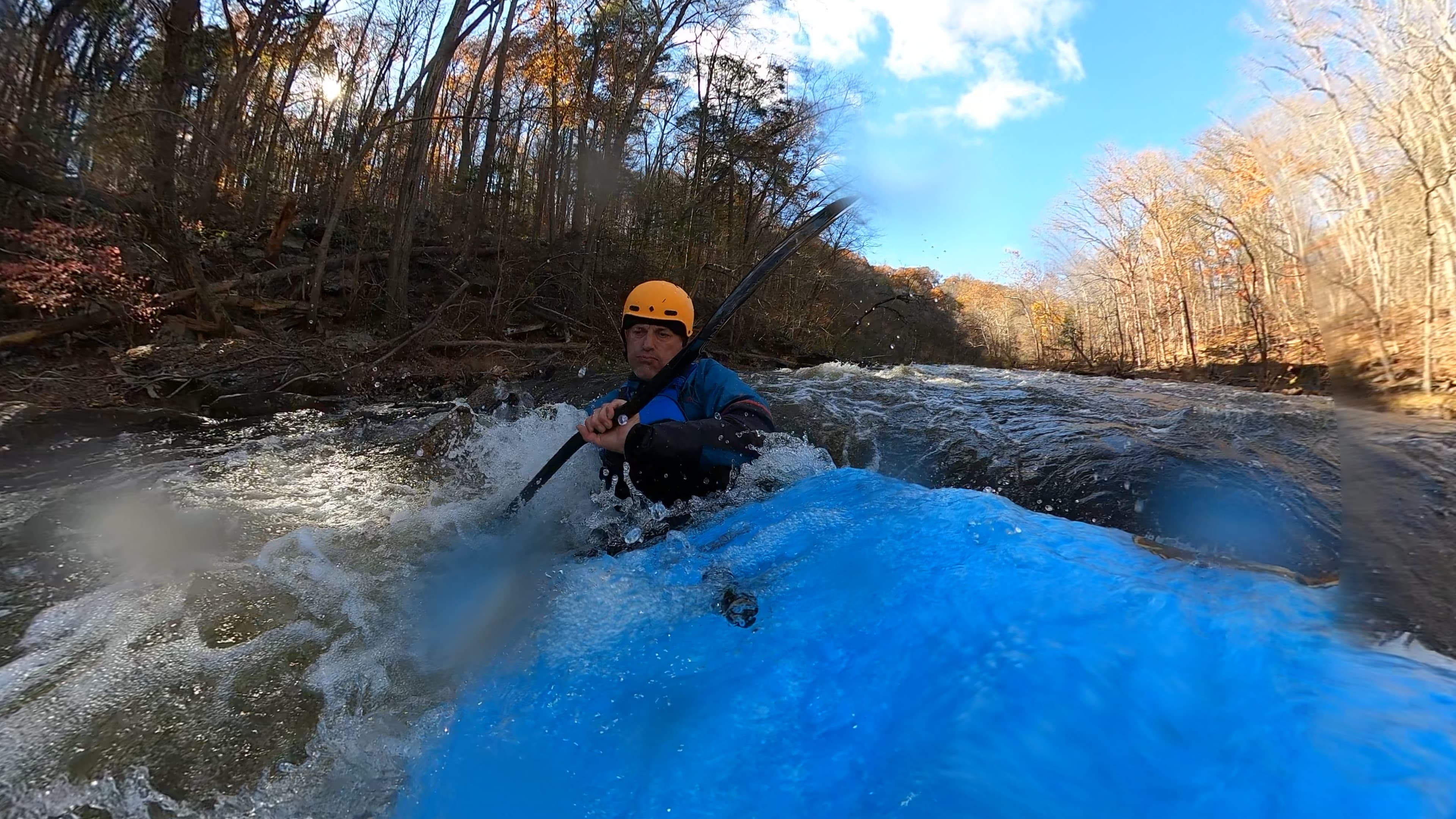
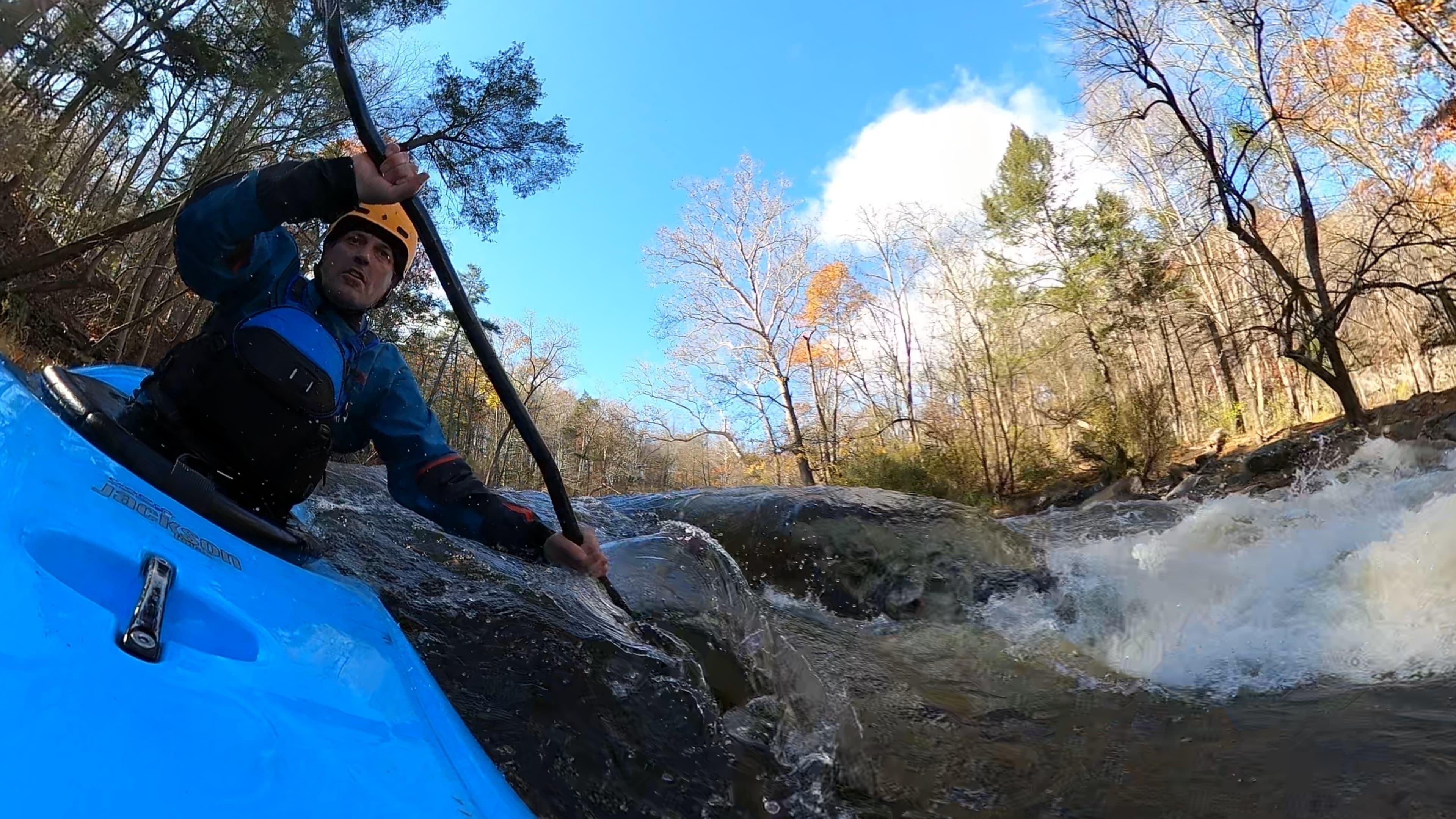
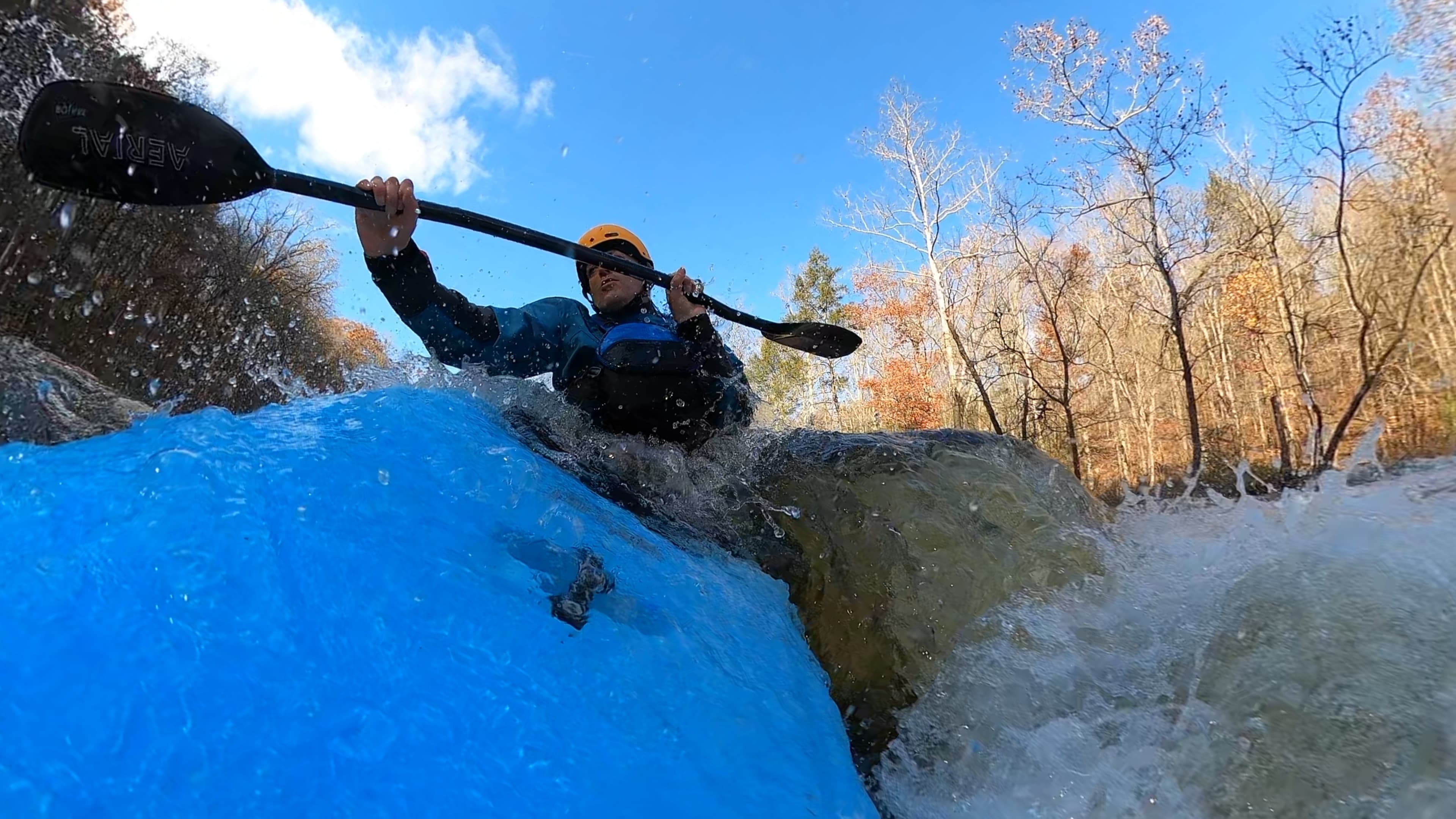 +2
Jim P.
Ralph Stover State Park to Point Pleasant• 27 cfs at Pipersville
Toh Fest 2 Laps 11/7/2026
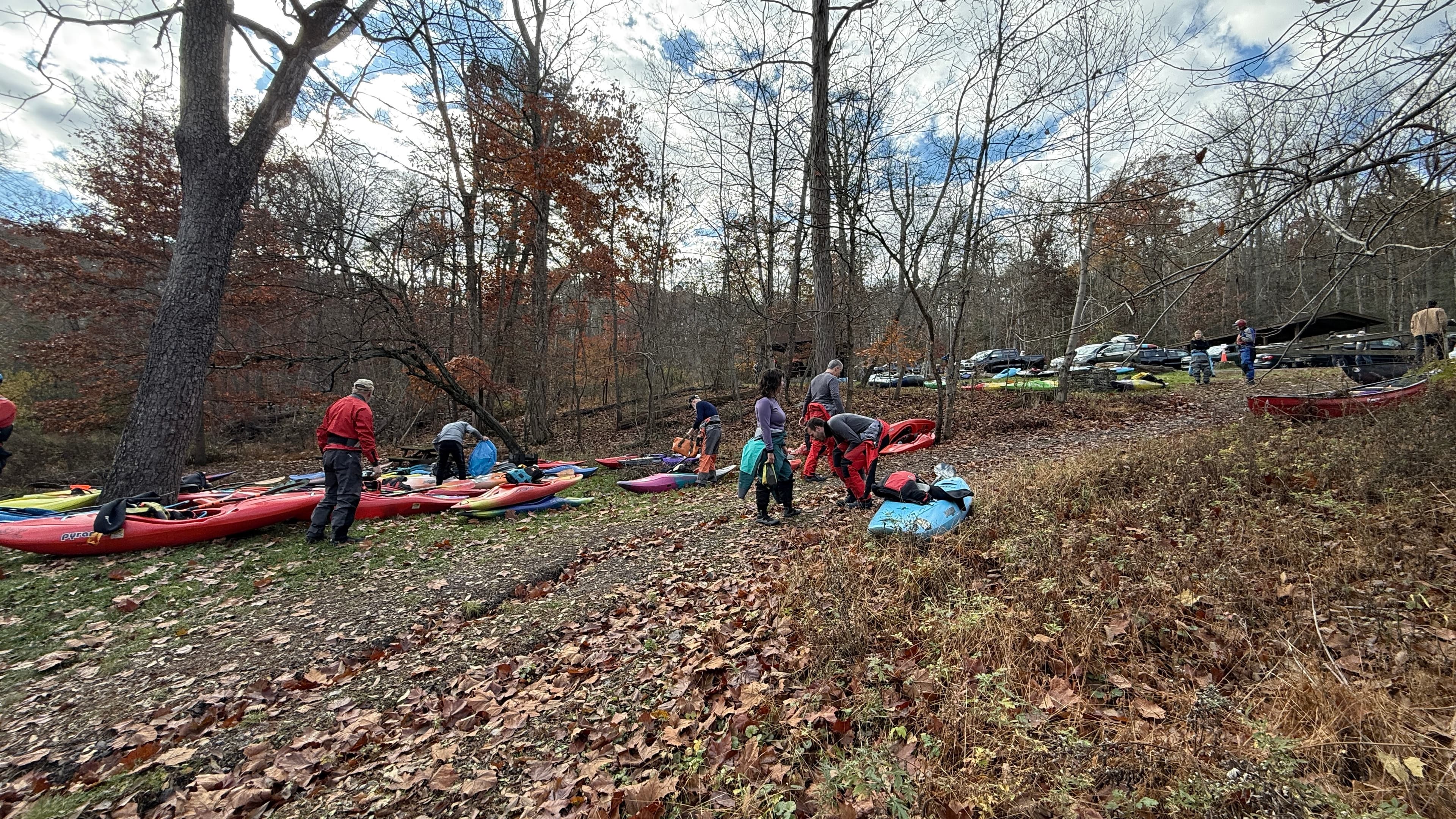
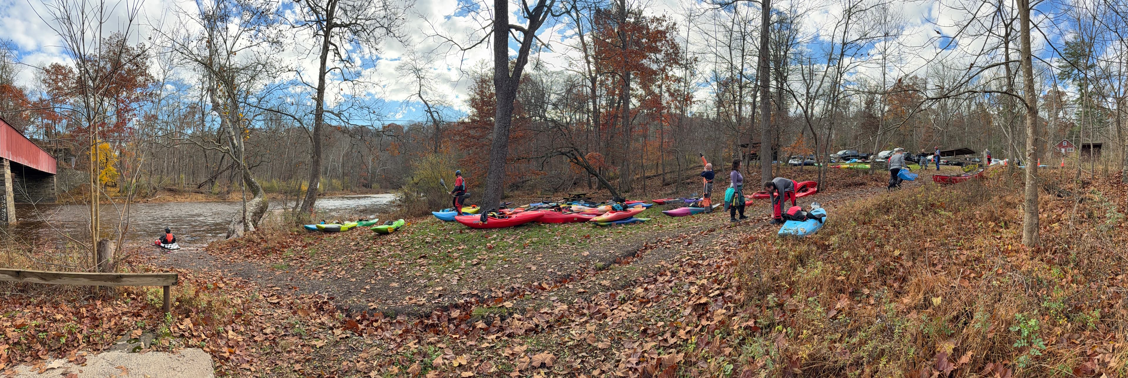
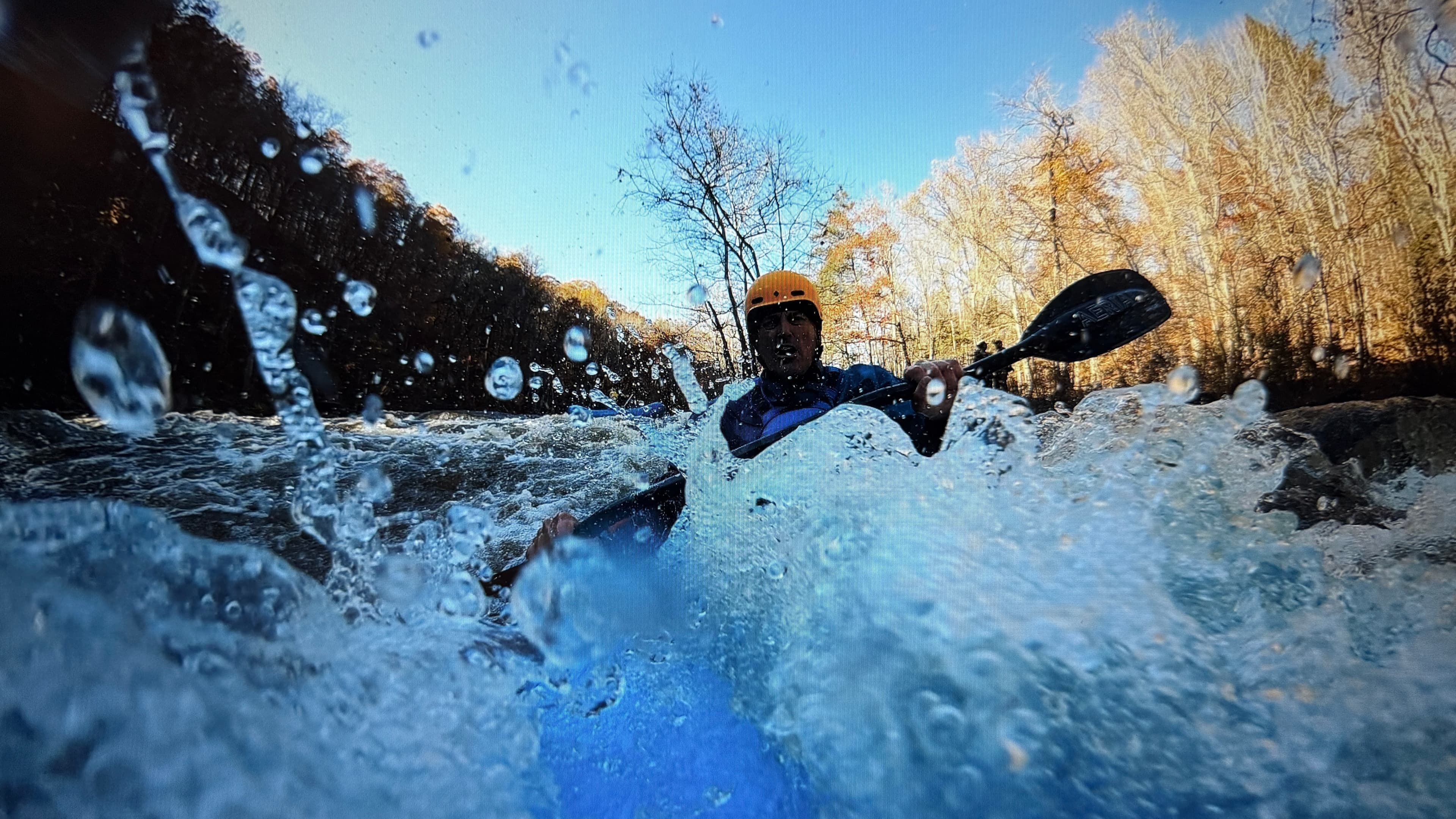
See exactly where the public can get on and off the river. Launch points and boat ramps are paired with PaddleWays' public land data so you know where you can legally land.
Public shoreline
36%of the river's shoreline is public
Most of the riverbank is private. Launch, land and camp only at public access points.
Flows, weather and a route-by-route verdict, so you know which stretch of the Tohickon Creek is worth paddling today.
Live flows, marked hazards and fresh trip reports from paddlers who were just on the water, all in one place.





Every user gets free access to launch points, boat ramps, and public property parcels.
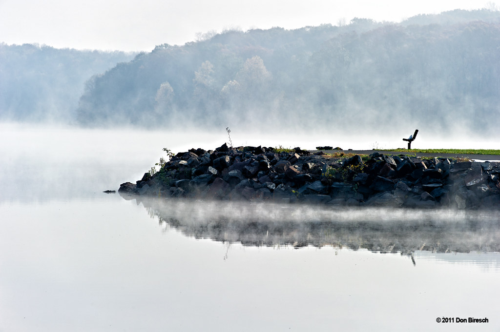


Loading popular cities...
PaddleWays gives you everything you need to plan smarter, paddle better, and own every trip from first launch to takeout.