Broad River

Broad River
- Boat Ramps
- 12
- Access Points
- 26
- Campsites
- 7
The Broad River originates in the Blue Ridge Mountains of eastern Buncombe County, North Carolina, where the North, West, Middle, and East Forks converge near Rosman in adjacent Transylvania County before entering the specified region. The river flows approximately 150 miles southeastward through the Piedmont, passing through North Carolina's Henderson, Polk, Rutherford, and Cleveland counties before crossing into South Carolina. There it continues through Cherokee, York, Union, Chester, Newberry, Fairfield, and Lexington counties before joining the Saluda River in Richland County near Columbia to form the Congaree River.
In North Carolina's mountain counties, the Broad River Paddle Trail extends approximately 49 miles from Lake Lure Dam through Rutherford and Cleveland counties, featuring twelve distinct sections with numerous public access points including Grays Road, Coxe Road, and the Broad River Greenway in Shelby. This upper section flows through agricultural valleys with a narrow, tree-canopied channel requiring vigilance for strainers and fallen trees, particularly after storms.
The South Carolina portion offers over 70 miles of designated blueway from the North Carolina state line to Columbia. A 15-mile stretch from Ninety-Nine Islands Dam to the Pacolet River confluence holds State Scenic River designation, showcasing undeveloped riparian forests and Piedmont pastureland. Nine hydroelectric dams punctuate the river's course, including facilities at Cherokee Falls, Lockhart, and Neal Shoals, requiring portages at Capitola Dam (9 feet), Redmon Dam (30 feet), and others.
Paddling difficulty ranges from beginner-friendly flatwater in Henderson and southern Buncombe counties to Class II-IV whitewater in Madison County's Barnard to Hot Springs section. Most sections between Rosman and Columbia feature Class I-II rapids with wide, clear channels ideal for families. Optimal paddling occurs during spring and fall when flows remain consistent; summer often brings low water requiring portaging over exposed rocks.
The river supports smallmouth and largemouth bass, trout in upper sections, muskie, bluegill, and catfish. Bald eagles, ospreys, great blue herons, and belted kingfishers frequent the corridor, while river otters, beavers, and muskrats inhabit the banks. Rocky shoals spider lilies, an endangered species, bloom along South Carolina's scenic section.
Major access points include Champion Park (Rosman), Hendersonville's Westfeldt Park, Asheville's French Broad River Park system, Barnard Park (Madison County), Big Bay Access (Cherokee County, SC), Lockhart, Carlisle's Sandy River Landing, and multiple sites in Union, Chester, and Newberry counties before reaching Columbia's Harbison State Forest.
Historically, the river marked the boundary between Cherokee and Catawba territories. The ill-fated steamboat Mountain Lily attempted navigation in the 1870s near Brevard. The Town of Lockhart developed around hydroelectric generation, while Hot Springs became a renowned 19th-century resort destination.
Paddlers must navigate multiple dam portages, monitor water levels via USGS gauges at Blacksburg and Carlisle, and respect private property along undeveloped stretches. Campsites managed by MountainTrue and other organizations enable multi-day through-paddling from the North Carolina headwaters to Columbia, typically requiring 7-10 days with strategic portages around the dam system.
Water access, boat ramps & amenities
Learn how to get on Broad River. Uncover great paddling access points, boat ramps, and all the facilities you need for an unforgettable day on the water. Some locations shown may border or include private property. Always check property boundaries and applicable regulations before visiting. PaddleWays's Public & Private Land layer can help you plan your access with confidence.
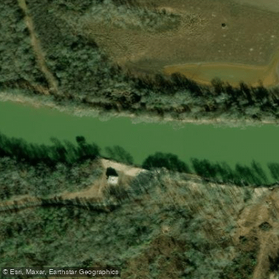
Big Bay River Access
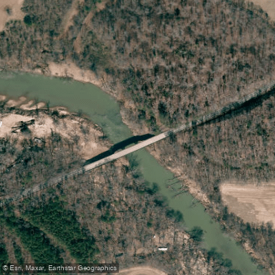
Jack McKinney Road Access
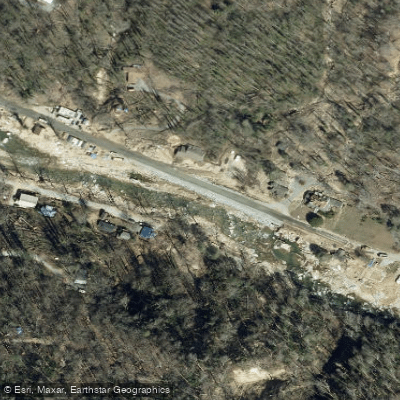
Rocky Broad, Lower Put-in
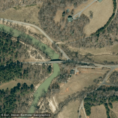
River Road Access
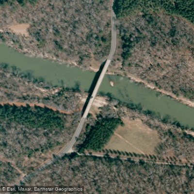
Big Island Road Access
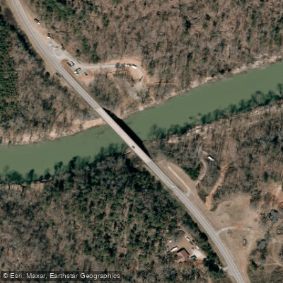
Route 221A Access
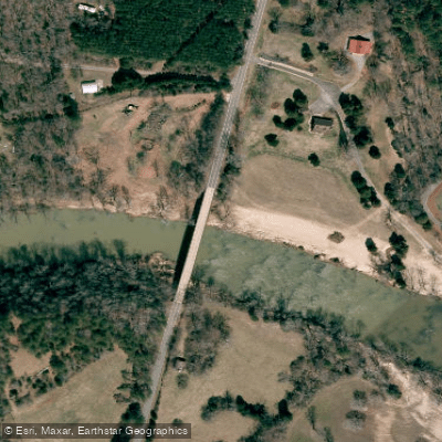
Poors Ford Road Access
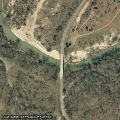
Clark Road Access
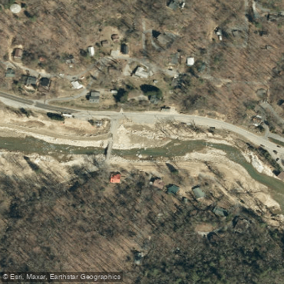
Rocky Broad, Lower Take-out
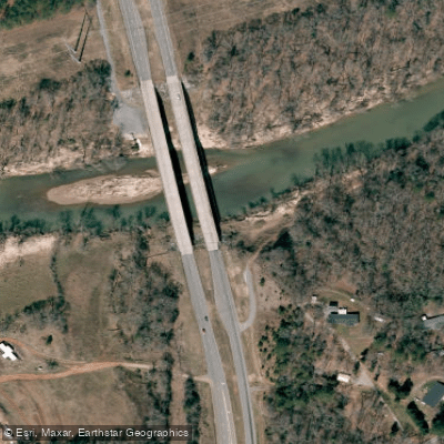
Route 221 Access
Paddle smarter with real-time insights
Whether you're en route and conditions shift or you're looking for the best spot based on current flows, we enable you to make informed decisions on the fly.








Find Places to Paddle

Over 400,000 Places to Paddle
Every user gets free access to launch points, boat ramps, and public property parcels.


Water and weather conditions (10 day forecast)
See the best times to paddle Broad River and check the forecast before you go.
BROAD RIVER NEAR BLACKSBURG, SC
All Flow Stations
Paddling near Broad River
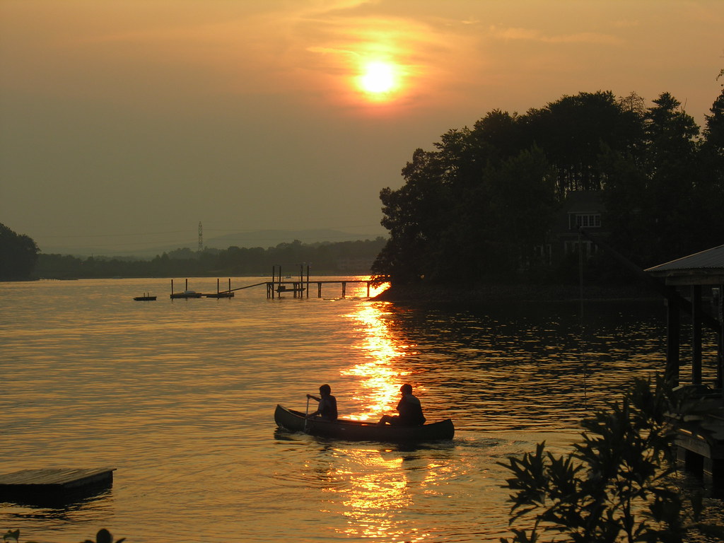
Lake Norman
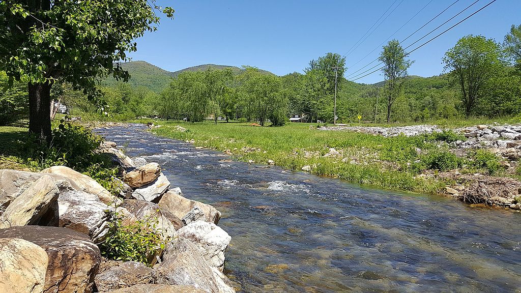
Catawba River
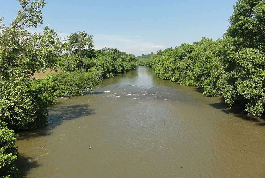
Yadkin River
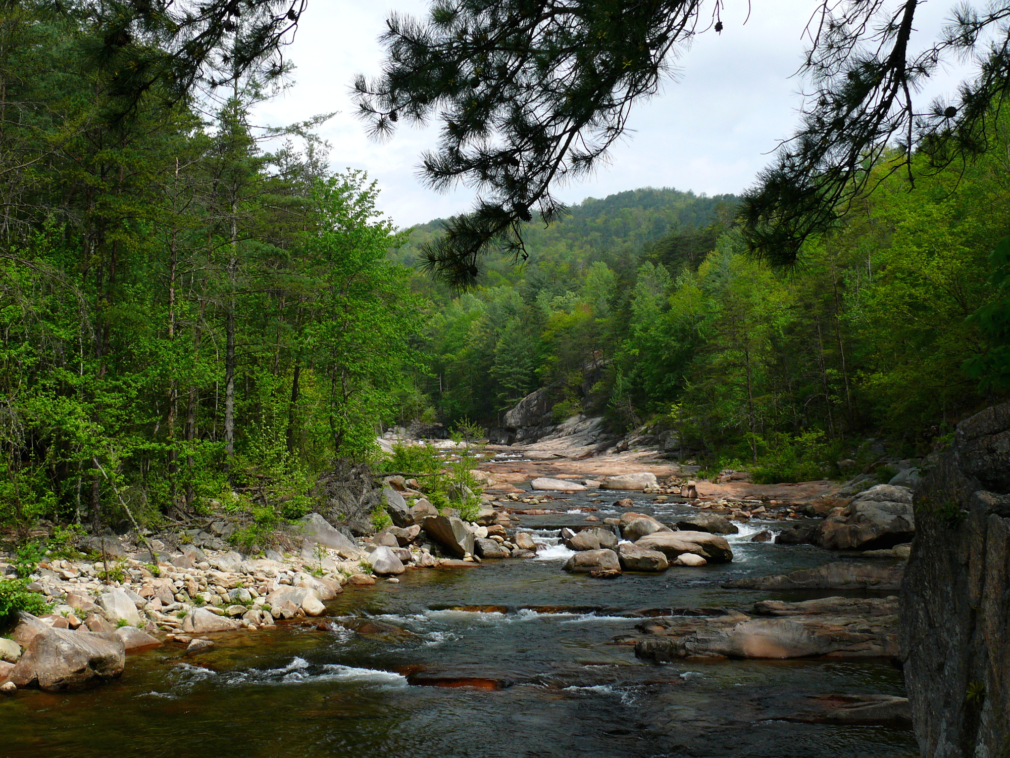
Wilson Creek
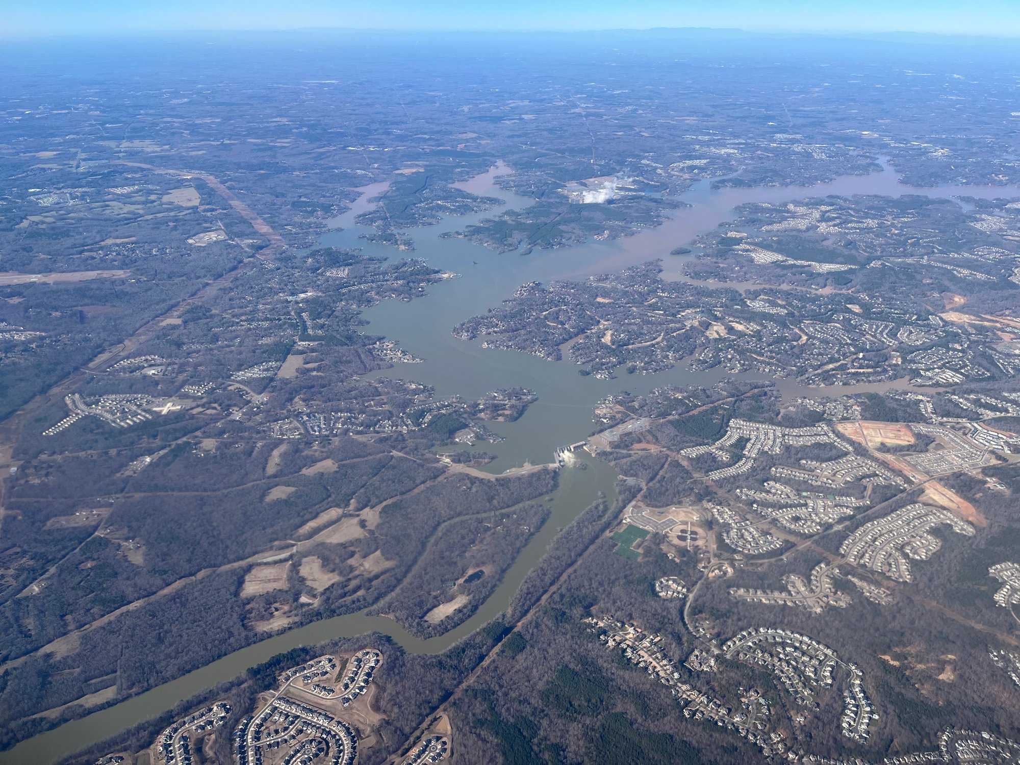
Lake Wylie
Lake Whelchel
First Broad River
Lake Hickory
Kings Mountain Reservoir
Explore South Carolina waters
Top paddling waters
Popular Cities
Loading popular cities...
Explore near Broad River
Access points
- Coxe Road Access
- Daltons Landing Boat Ramp
- 99 Island Boat Ramp
- Broad River Access
- Peake-Alston Boat Ramp
- Shelton Ferry Boat Ramp
- Sandy & Broad River Boat Ramp
- Pick Hill Boat Ramp
- Ninety Nine Island Boat Ramp
- Woods Ferry Recreation Area Boat Ramp
- Woods Ferry Boat Ramp
- Harbison State Forest Boat Ramp
- All 242 spots
Nearby waters
More in South Carolina

Smarter Paddling Starts in the App.
Paddleways gives you everything you need to plan smarter, paddle better, and own every trip from first launch to takeout.