Wateree River
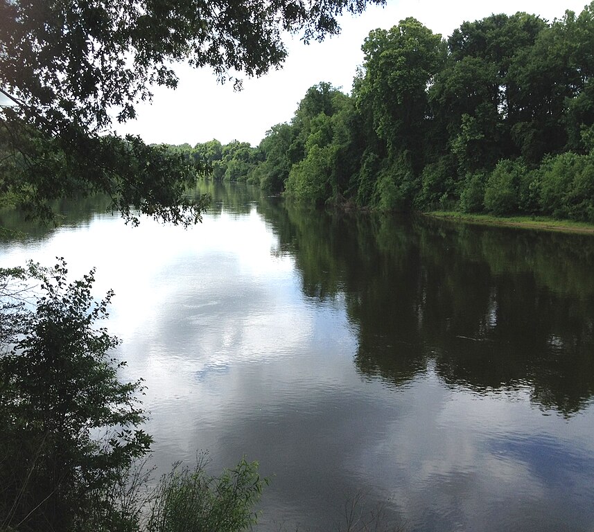
Wateree River
- Boat Ramps
- 4
- Access Points
- 6
- Campsites
- 2
The Wateree River is a significant waterway in central South Carolina, originating at Lake Wateree Dam and flowing southeastward for approximately 75 miles before joining the Congaree River. This confluence forms the Santee River, which continues to Lake Marion. The Wateree River is part of the larger Catawba-Wateree River Basin.
Paddling opportunities abound on the Wateree, with the river offering a mix of gentle whitewater and flowing flatwater suitable for various skill levels. The most popular section for day trips is the 8-mile stretch from Lugoff Landing (below Wateree Dam) to the Highway 1 Landing near Camden, typically taking 2-5 hours depending on paddler ability and water conditions. For more adventurous paddlers, the full 75-mile Wateree River Blue Trail provides an excellent multi-day journey.
The river's difficulty ranges from easy flatwater to moderate, with some small shoals in the upper sections near Camden. As the river descends the fall line, it transitions into a meandering lowland river, ideal for novice to intermediate paddlers. Spring and fall offer the best paddling conditions, with summer providing opportunities for swimming and sandbar camping.
The Wateree River supports diverse ecosystems, home to various fish species, waterfowl, and riparian wildlife. Paddlers may spot blue herons, ospreys, and even bald eagles. The river's course takes it through scenic landscapes, from the Piedmont region to the Coastal Plain, offering paddlers a changing backdrop of forested banks and wetlands.
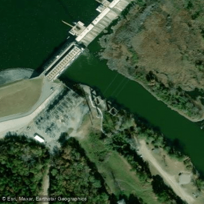
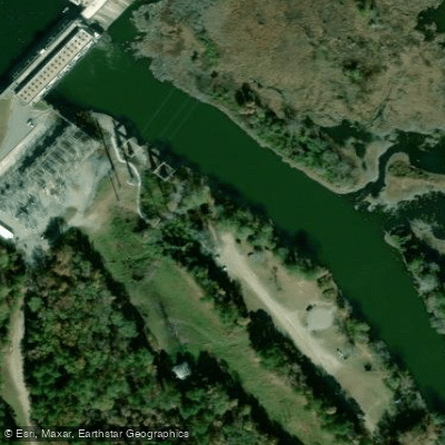
Key access points include Lugoff Landing, Highway 1 Landing, Camden Riverfront Environmental Park, and the W.T. Tolar Public Boat Landing. The river passes near the historic town of Camden, providing opportunities to explore local culture and history.
The Wateree River holds historical significance as a transportation route and power source for early settlements. Today, it serves as an important recreational resource and wildlife corridor. The last 4 miles of the river form the eastern boundary of Congaree National Park, adding to its ecological importance.
Safety considerations include checking water levels, as dam releases can affect flow rates. Paddlers should be aware of potential strainers and submerged obstacles, especially in the upper sections. Multi-day trips are popular, with numerous sandbars offering primitive camping opportunities. These longer journeys allow paddlers to experience the river's transition from the Piedmont to the Coastal Plain, showcasing the diverse landscapes of South Carolina.
Water access, boat ramps & amenities
Learn how to get on Wateree River. Uncover great paddling access points, boat ramps, and all the facilities you need for an unforgettable day on the water. Some locations shown may border or include private property. Always check property boundaries and applicable regulations before visiting. PaddleWays's Public & Private Land layer can help you plan your access with confidence.
Paddle smarter with real-time insights
Whether you're en route and conditions shift or you're looking for the best spot based on current flows, we enable you to make informed decisions on the fly.








Find Places to Paddle

Over 400,000 Places to Paddle
Every user gets free access to launch points, boat ramps, and public property parcels.


Water and weather conditions (10 day forecast)
See the best times to paddle Wateree River and check the forecast before you go.
WATEREE RIVER NR. CAMDEN, SC
All Flow Stations
Paddling near Wateree River
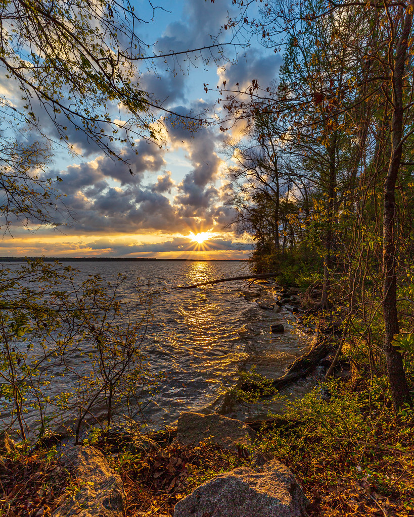
Lake Marion

Broad River

Saluda River
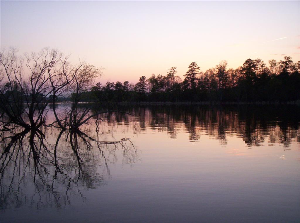
Lake Murray
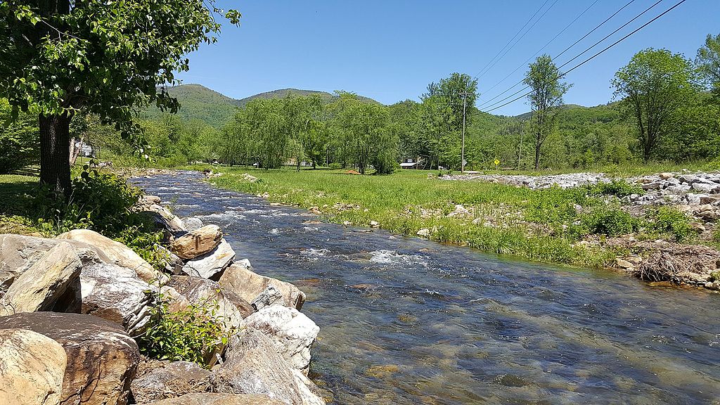
Catawba River
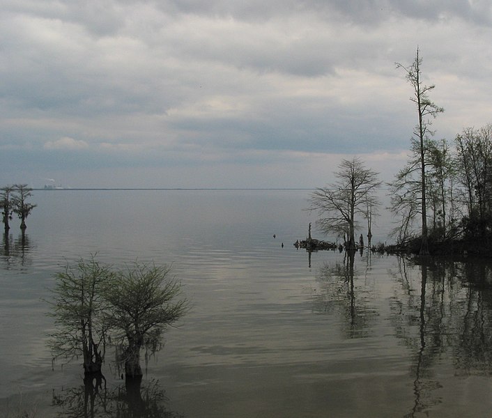
Lake Moultrie
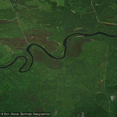
Santee River
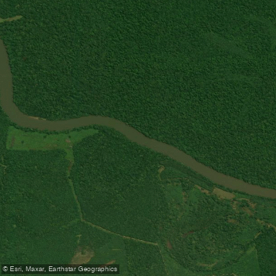
Congaree River
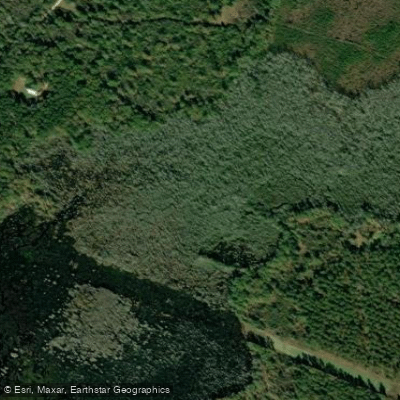
Cedar Creek
Explore South Carolina waters
Top paddling waters
Popular Cities
Loading popular cities...
Explore near Wateree River
Access points
Nearby waters
More in South Carolina

Smarter Paddling Starts in the App.
Paddleways gives you everything you need to plan smarter, paddle better, and own every trip from first launch to takeout.