Curated by PaddleWays
Tyger River Canoe Trail
on Tyger River · put-in here
RouteFlatwater
- Distance
- 7.5 mi
- Paddle time
- ~2.5 hrs
- Best for
- Canoe
- Put-in → take-out
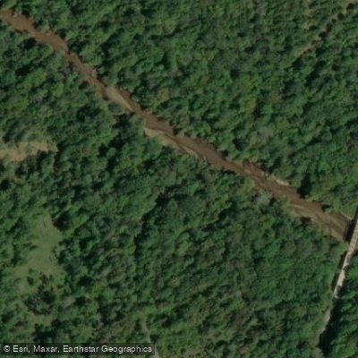
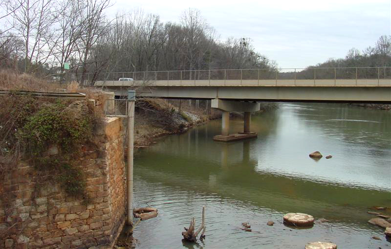
- Cedar Bluff Bridge Boat Ramp → Rose Hill Boat Ramp
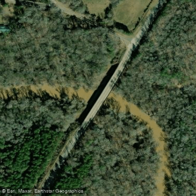
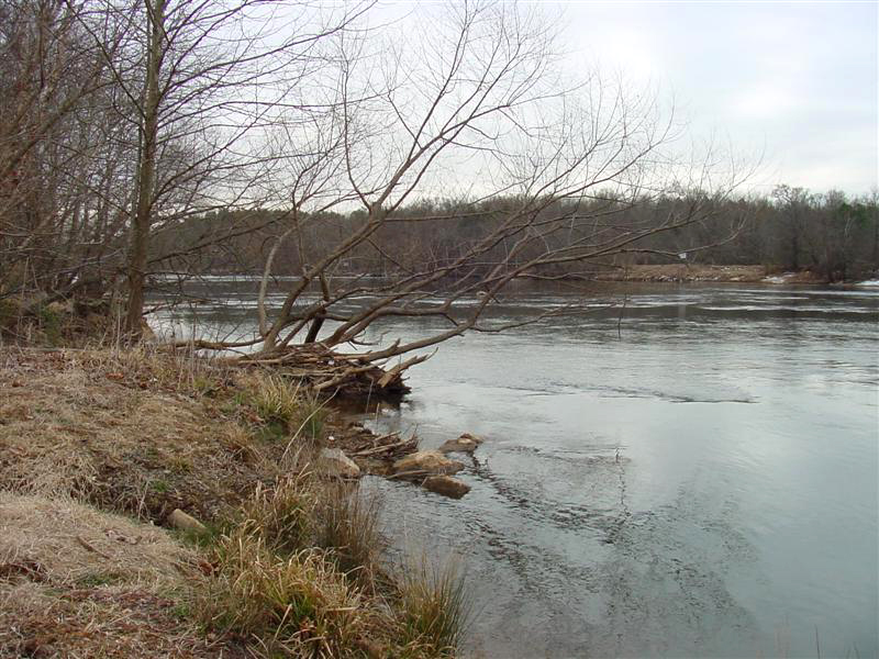
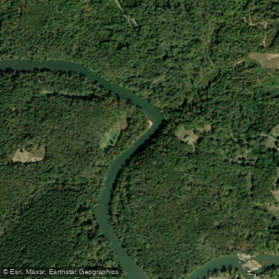
Cedar Bluff Bridge is a hand launch (canoe throw-in) located approximately 50 yards upstream from the bridge on the north bank of the Tyger River, serving as the starting point (Mile 0) for the 24-mile Tyger River Canoe Trail.
This access point is suitable for canoes and flat-bottom boats on a river characterized by generally shallow, narrow channels with brisk flatwater and some whitewater in upper sections.
The launch is accessed via SC 49 north of Cross Keys in Union County, approximately 11 miles from I-26 Exit 52.
Explore the wonders of Tyger River! Find excellent paddling spots, easy access to boat ramps, and all the amenities you need for a memorable day by the water. Your adventure starts here.
Curated routes
Hand-picked by the PaddleWays team, with put-ins, take-outs and paddle times. Levels are read from live gauges.
on Tyger River · put-in here
RouteFlatwater
on Tyger River · take-out here
Route
Check the forecast at Cedar Bluff Bridge Boat Ramp before you go paddling.
No forecast data available.
No waters available right now.
Loading popular cities...
PaddleWays gives you everything you need to plan smarter, paddle better, and own every trip from first launch to takeout.
