Pacolet River
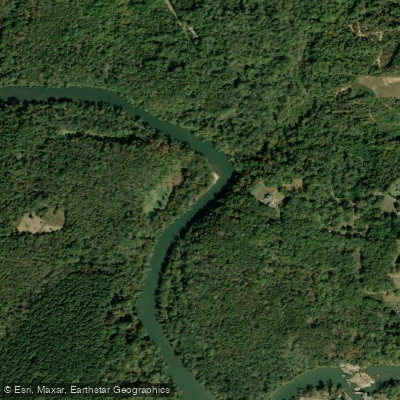
Pacolet River
- Boat Ramps
- 3
- Access Points
- 3
- Campsites
- 1
The Pacolet River is a scenic waterway in upstate South Carolina, originating near Spartanburg and flowing southeast to join the Broad River near Lockhart. This 50-mile river system, including its major tributary Lawson's Fork Creek, offers diverse paddling opportunities through the picturesque Piedmont region.
The river features several distinct paddling sections catering to various skill levels. The most popular whitewater stretch runs 3.5 miles from Clifton Beach to the confluence with Lawson's Fork, offering Class I-II rapids suitable for intermediate paddlers. Downstream, the river mellows, providing longer flatwater trips like the 12-mile section from Skull Shoals to Lockhart. Overall, the Pacolet ranges from easy flatwater to moderate Class II whitewater, making it accessible to paddlers with basic moving water skills.
Spring and fall offer ideal water levels and comfortable temperatures for paddling. Summer trips are possible but may require more portaging around shallow areas. The river corridor supports diverse ecosystems, with wildflowers and forests lining the banks. Paddlers may spot wildlife like herons, turtles, and the occasional river otter. Historic sites dot the landscape, including old mill towns that hint at the region's textile heritage.
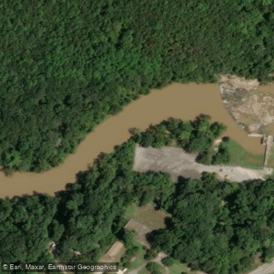
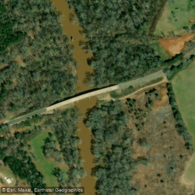
Key access points include Clifton Beach (239 Goldmine Road, Spartanburg), a popular put-in with ample parking and facilities. Other notable access areas are Clifton Old Town, Goldmine Road bridge, and Skull Shoals. The town of Lockhart provides a take-out before the river's confluence with the Broad.
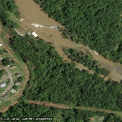
Paddlers should be aware of several dams along the river, particularly in the Clifton area, which require portaging. The Lockhart Dam marks the end of most Pacolet trips, with a well-marked take-out upstream of the structure. For those seeking longer adventures, multi-day trips are possible by combining sections of the Pacolet and Broad Rivers. However, camping options are limited, so careful planning is essential.
The Pacolet River and Lawson's Fork Creek Blueway initiative has enhanced recreational access while promoting conservation of this valuable natural resource. Whether seeking a short whitewater run or a leisurely day trip, the Pacolet offers a quintessential South Carolina paddling experience.
Water access, boat ramps & amenities
Learn how to get on Pacolet River. Uncover great paddling access points, boat ramps, and all the facilities you need for an unforgettable day on the water. Some locations shown may border or include private property. Always check property boundaries and applicable regulations before visiting. PaddleWays's Public & Private Land layer can help you plan your access with confidence.
Paddle smarter with real-time insights
Whether you're en route and conditions shift or you're looking for the best spot based on current flows, we enable you to make informed decisions on the fly.








Find Places to Paddle

Over 400,000 Places to Paddle
Every user gets free access to launch points, boat ramps, and public property parcels.


Water and weather conditions (10 day forecast)
See the best times to paddle Pacolet River and check the forecast before you go.
PACOLET RIVER BELOW LAKE BLALOCK NEAR COWPENS, SC
All Flow Stations
Paddling near Pacolet River

Broad River

Saluda River

French Broad River
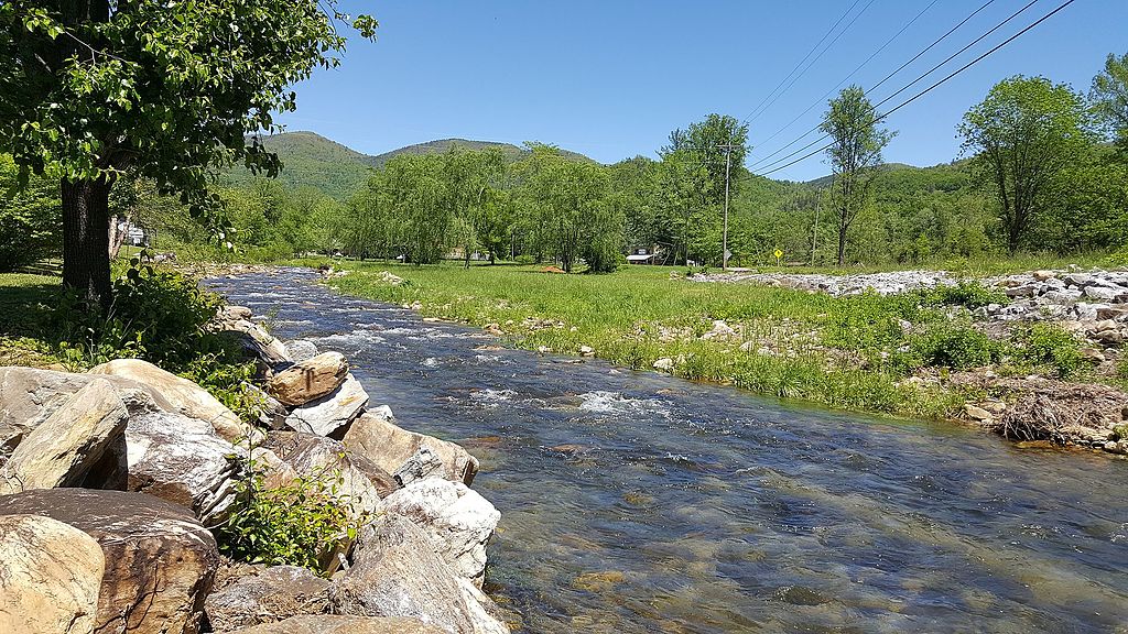
Catawba River
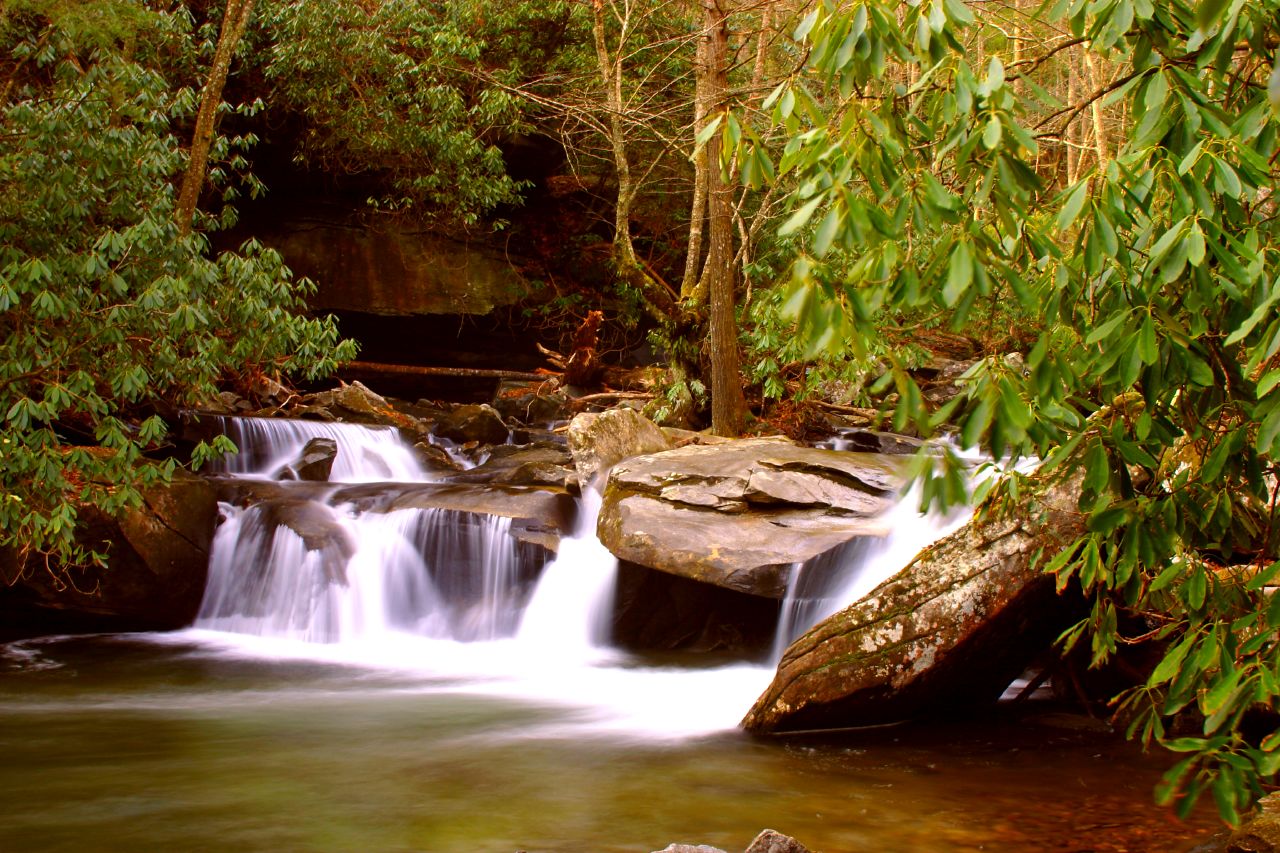
Davidson River
Lake Cooley
Lake Edwin Johnson
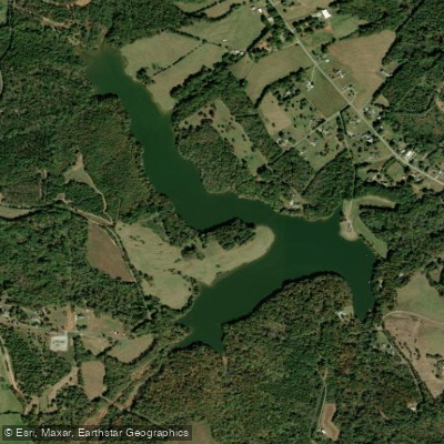
Thicketty Creek WCD Lake Number 26
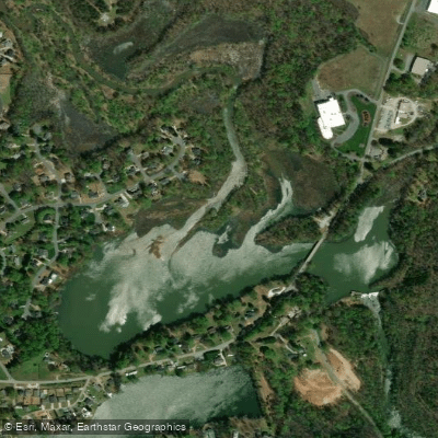
Berry Shoals Pond
Explore South Carolina waters
Top paddling waters
Popular Cities
Loading popular cities...
Explore near Pacolet River
Access points
Nearby waters
More in South Carolina

Smarter Paddling Starts in the App.
Paddleways gives you everything you need to plan smarter, paddle better, and own every trip from first launch to takeout.