Curated by PaddleWays
RouteFlatwater
- Distance
- 6.4 mi
- Paddle time
- 3.5–4 hrs
- Best for
- Beginners
- Put-in → take-out
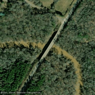
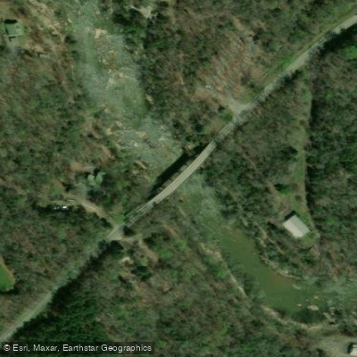
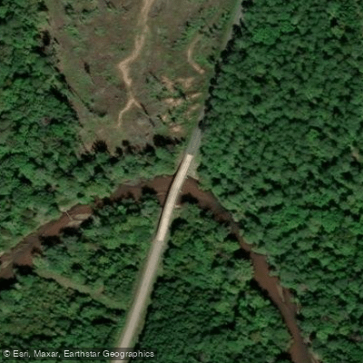
- Rose Hill Boat Ramp → Beatys Bridge Boat Ramp
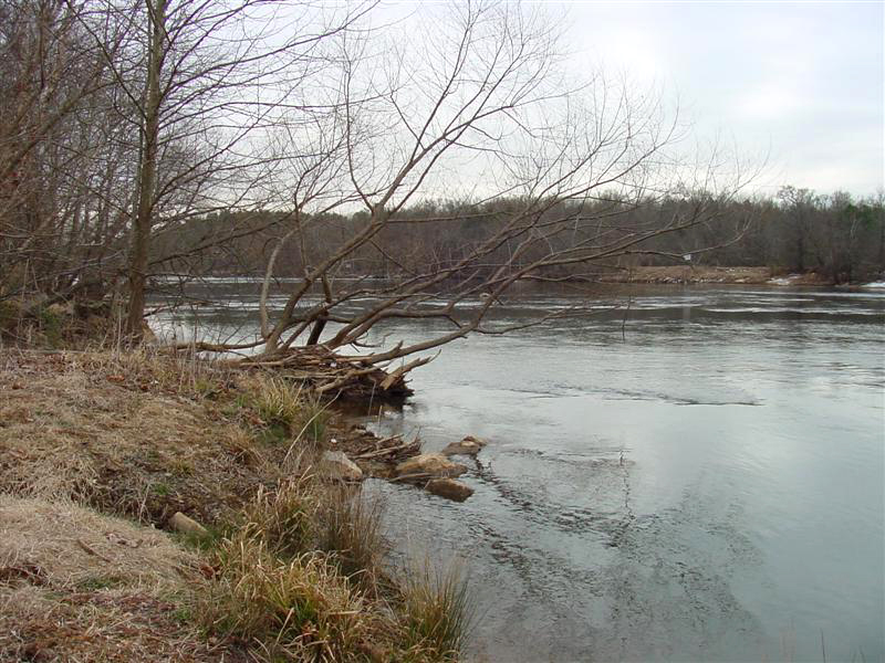
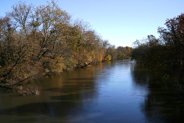
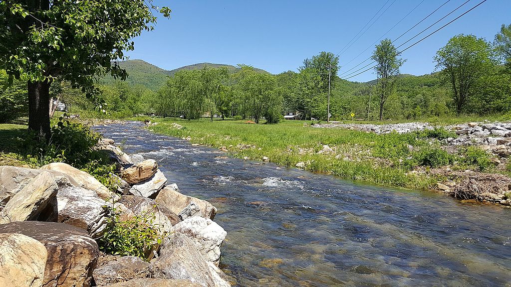
The Tyger River is a scenic waterway flowing through the Piedmont region of South Carolina. It originates in northern Spartanburg County and flows generally southeast, joining the Broad River near the town of Carlisle. The river system consists of three main branches - the North Tyger, Middle Tyger, and South Tyger Rivers - which converge to form the main stem Tyger River. The entire watershed covers approximately 750 square miles.
Paddling opportunities abound on the Tyger, with over 150 miles of navigable waters suitable for both beginners and experienced paddlers. The river ranges from flatwater sections perfect for novices to more challenging Class II-III rapids for intermediate paddlers. Popular runs include the 8-mile North Fork section from Morris Bridge Road to Nesbitt Shoals Park, the 16.7-mile main stem trip from Nesbitt Shoals to SC Highway 49, and the scenic 7-mile Tyger River Canoe Trail through Sumter National Forest. The river's difficulty varies seasonally, with higher water levels in spring and winter creating more challenging conditions. Late spring through fall is generally the best time for paddling, when water levels are moderate and temperatures pleasant. Paddlers should always check current conditions before embarking.
The Tyger flows through a diverse ecosystem of bottomland forests, small marshes, and piedmont woodlands. Wildlife sightings may include deer, turkey, herons, and various fish species. The river corridor provides important habitat for many native plants and animals.
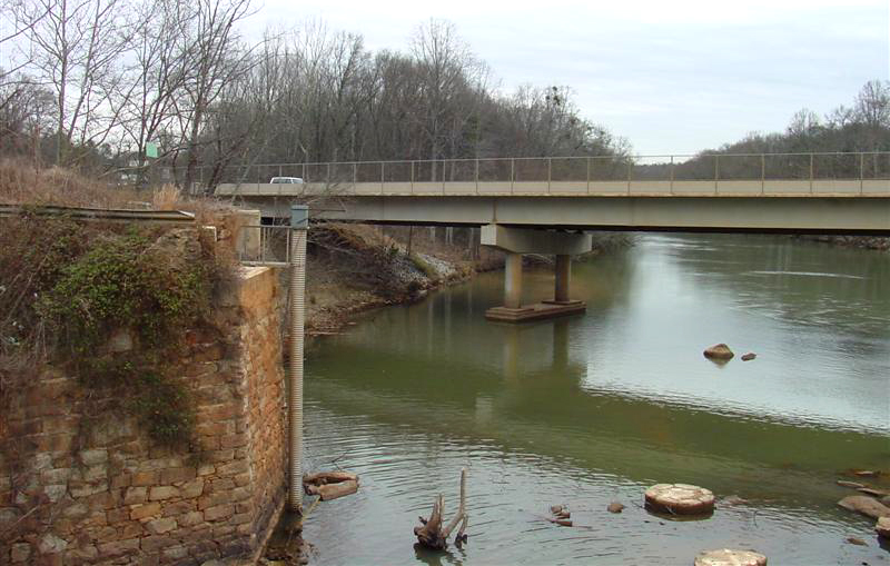
Key landmarks include the historic Rose Hill Plantation State Historic Site, visible from the river, and the Tyger-10 Nature Park, which offers educational displays and river access. Other notable access points include Cedar Bluff Bridge, Rose Hill Landing, and Beatty's Bridge, with the nearby towns of Union and Spartanburg serving as good base camps for river trips.
The Tyger played a role in the region's textile mill history, powering several mills in the late 19th and early 20th centuries. Today, it's valued for its recreational opportunities and natural beauty. The Tyger River Foundation works to promote conservation and public enjoyment of the river.
Paddlers should be aware of occasional strainers and shoals, especially after high water events. All boaters are required to have a life jacket on board. For those seeking a multi-day adventure, primitive camping is allowed on national forest land along the river with a permit from the Enoree Ranger District.
With its varied paddling experiences, rich history, and natural beauty, the Tyger River offers something for every outdoor enthusiast in South Carolina's Upstate region.
Curated routes
Hand-picked by the PaddleWays team, with put-ins, take-outs, paddle times and the hazards along the way.
RouteFlatwater
RouteFlatwater
Route
Hazards
No paddler has reported a hazard here yet, so these are the dams, falls and big rapids on our map. Hazards change with flows and storms, so check them before you launch.
From the community
Nobody has shared a trip on Tyger River yet. Paddle it, then tell the next paddler how it went.
See exactly where the public can get on and off the river. Launch points and boat ramps are paired with PaddleWays' public land data so you know where you can legally land.
Public shoreline
47%of the river's shoreline is public
Most of the riverbank is private. Launch, land and camp only at public access points.
Flows, weather and a route-by-route verdict, so you know which stretch of the Tyger River is worth paddling today.
All Flow Stations
Live flows, marked hazards and fresh trip reports from paddlers who were just on the water, all in one place.





Every user gets free access to launch points, boat ramps, and public property parcels.
Loading popular cities...
PaddleWays gives you everything you need to plan smarter, paddle better, and own every trip from first launch to takeout.