Cheyenne River
Cheyenne River
- Boat Ramps
- 0
- Access Points
- 1
- Campsites
- 9
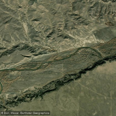
The Cheyenne River is a significant waterway in South Dakota, offering paddlers a unique journey through the state's diverse landscapes. Originating in eastern Wyoming, the river flows eastward across South Dakota before joining the Missouri River. Known for its high mineral content, the Cheyenne River carves its way through grasslands, shrublands, and forested areas, providing a constantly changing backdrop for adventurers.
Paddling opportunities on the Cheyenne River range from short day trips to multi-day expeditions. The most popular sections include the stretch from SD Highway 73 to SD Highway 63, covering nearly 60 miles of remote wilderness, and the scenic route through the Buffalo Gap National Grasslands. These longer trips offer paddlers a chance to immerse themselves in the rugged beauty of South Dakota's countryside.
The difficulty of the Cheyenne River varies but generally falls within the Class I-II range, making it suitable for intermediate paddlers with some whitewater experience. However, the river's remote nature and potential for low water conditions can present challenges even to experienced paddlers. Novices should stick to shorter, well-known sections or paddle with a guide.
Spring and early summer are typically the best times to paddle the Cheyenne River when water levels are highest. As summer progresses, sections of the river may become too shallow for easy navigation, requiring careful planning and potentially portaging in some areas.
The river corridor is home to a diverse array of wildlife. Paddlers may encounter bald eagles soaring overhead, deer drinking at the water's edge, and beavers constructing their dams. The surrounding grasslands and forests provide habitat for numerous bird species, including pelicans, great blue herons, and various waterfowl.
One of the most notable landmarks along the Cheyenne River is the Black Hills Wild Horse Sanctuary, where paddlers can catch glimpses of wild mustangs roaming freely near the riverbanks. The river also winds through the Buffalo Gap National Grassland, offering stunning views of native prairie and chalky badlands formations.
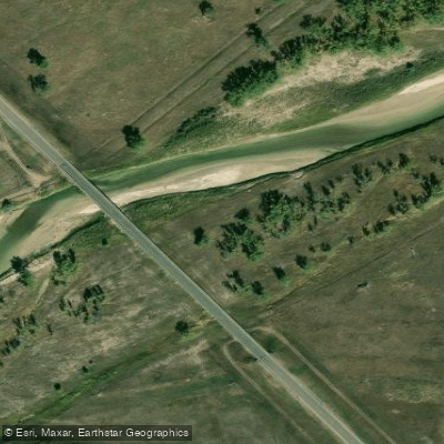
Access points for the Cheyenne River can be found near several small towns, including Cherry Creek and Bridger. However, many sections of the river are quite remote, with limited road access. Paddlers should plan their trips carefully and be prepared for self-sufficiency.
Historically, the Cheyenne River played a significant role in the lives of Native American tribes, particularly the Cheyenne people, from whom the river takes its name. Today, the river continues to be an important cultural and natural resource for the region.
Safety considerations for paddling the Cheyenne River include being prepared for sudden weather changes, carrying adequate supplies for remote stretches, and being aware of potential obstacles such as fallen trees or shallow areas. Paddlers should always wear life jackets and inform others of their trip plans.
For those seeking a true wilderness experience, multi-day trips on the Cheyenne River offer an unparalleled adventure. The 155-mile section from the Belle Fourche/Cheyenne confluence to Cherry Creek is a popular choice for experienced paddlers looking for an extended journey through South Dakota's heartland.
Paddling the Cheyenne River provides a unique perspective on South Dakota's natural beauty and offers adventurers a chance to explore one of the state's most important waterways in a truly immersive way.
Water access, boat ramps & amenities
Learn how to get on Cheyenne River. Uncover great paddling access points, boat ramps, and all the facilities you need for an unforgettable day on the water. Some locations shown may border or include private property. Always check property boundaries and applicable regulations before visiting. PaddleWays's Public & Private Land layer can help you plan your access with confidence.
Paddle smarter with real-time insights
Whether you're en route and conditions shift or you're looking for the best spot based on current flows, we enable you to make informed decisions on the fly.








Find Places to Paddle

Over 400,000 Places to Paddle
Every user gets free access to launch points, boat ramps, and public property parcels.


Water and weather conditions (10 day forecast)
See the best times to paddle Cheyenne River and check the forecast before you go.
CHEYENNE RIVER NEAR SPENCER, WY
All Flow Stations
Paddling near Cheyenne River
Belle Fourche River
Pactola Reservoir
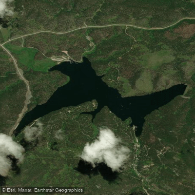
Sheridan Lake
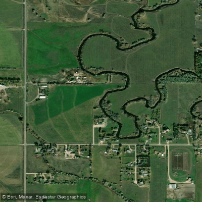
Rapid Creek
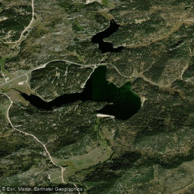
Stockade Lake
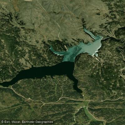
Deerfield Lake
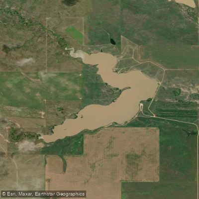
Curlew Lake
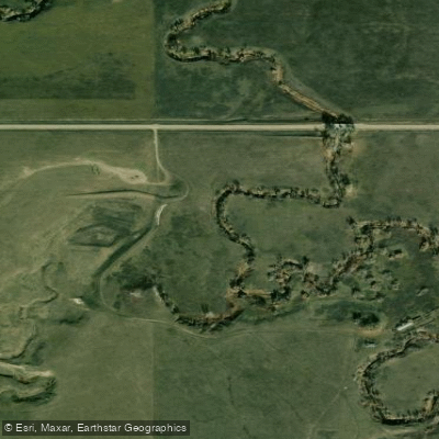
Spring Creek
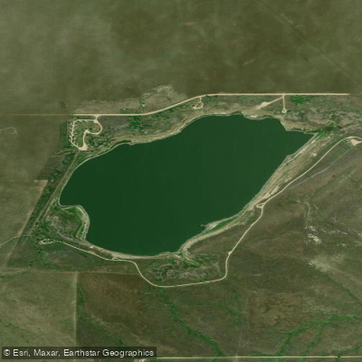
Bear Butte Lake
Explore South Dakota waters
Top paddling waters
Popular Cities
Loading popular cities...
Explore near Cheyenne River
Access points
Nearby waters
More in South Dakota

Smarter Paddling Starts in the App.
Paddleways gives you everything you need to plan smarter, paddle better, and own every trip from first launch to takeout.