Deerfield Lake
Deerfield Lake
- Boat Ramps
- 2
- Access Points
- 2
- Campsites
- 7
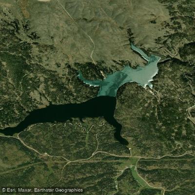
Deerfield Lake, located 20 miles west of Hill City in the Black Hills National Forest, offers 435 acres of protected waters with a strict no-wake restriction and 5 mph speed limit, making it ideal for paddling. The lake features clear water with visibility to the bottom in many areas and approximately 16 miles of shoreline.
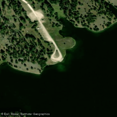
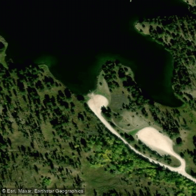
Multiple access points serve the lake, including boat launches at both the north access (off Rochford Road near Custer Trail) and south access (on Deerfield Cove Road near Dutchman Campground). A $5 vehicle day use fee applies.
The lake is ringed by forest and rolling hills, with several coves and inlets to explore. Castle Creek feeds the reservoir, which maintains an average depth of 30 feet and reaches depths up to 85-90 feet near the dam. At 5,900 feet elevation, it holds the distinction of being South Dakota's highest elevated lake.
Three campgrounds provide overnight options: Custer Trail (16 first-come sites), Dutchman (44 reservable sites), and Whitetail (17 reservable sites). Two dedicated picnic areas, Lake Shore and Mountain City, offer additional amenities. The Deerfield Lake Loop Trail circles the water's edge.
Wildlife viewing opportunities include eagles, hawks, and various waterfowl. The lake supports populations of rainbow trout, brook trout, and splake (a brook trout/lake trout hybrid). The higher elevation typically provides cooler temperatures than surrounding areas during summer months.
Facilities include vault toilets at the campgrounds, but paddlers should note that drinking water availability is limited. The lake's peaceful character is preserved by the no-wake restriction, making it particularly appealing for canoes, kayaks, and stand-up paddleboards. Several rental operations in the area provide paddle craft and basic equipment.
Water access, boat ramps & amenities
Learn how to get on Deerfield Lake. Uncover great paddling access points, boat ramps, and all the facilities you need for an unforgettable day on the water. Some locations shown may border or include private property. Always check property boundaries and applicable regulations before visiting. PaddleWays's Public & Private Land layer can help you plan your access with confidence.
Paddle smarter with real-time insights
Whether you're en route and conditions shift or you're looking for the best spot based on current flows, we enable you to make informed decisions on the fly.








Find Places to Paddle

Over 400,000 Places to Paddle
Every user gets free access to launch points, boat ramps, and public property parcels.


Water and weather conditions (10 day forecast)
See the best times to paddle Deerfield Lake and check the forecast before you go.
CASTLE CREEK BELOW DEERFIELD DAM SD
All Flow Stations
Paddling near Deerfield Lake
Belle Fourche River
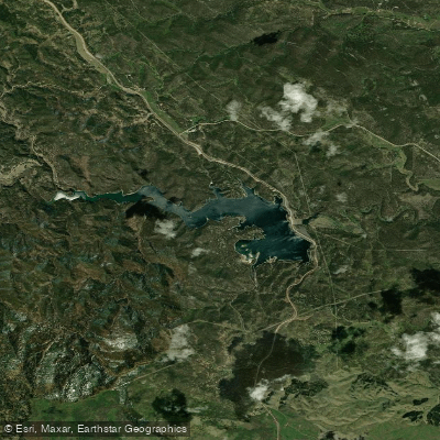
Pactola Reservoir
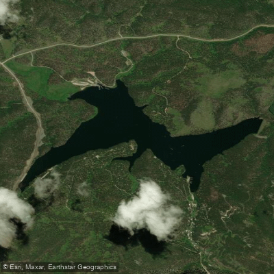
Sheridan Lake
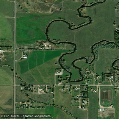
Rapid Creek
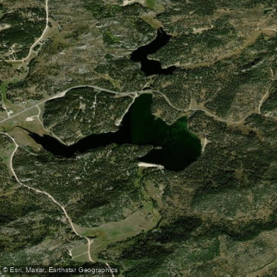
Stockade Lake
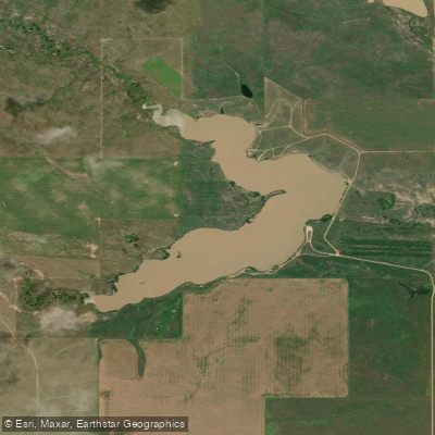
Curlew Lake
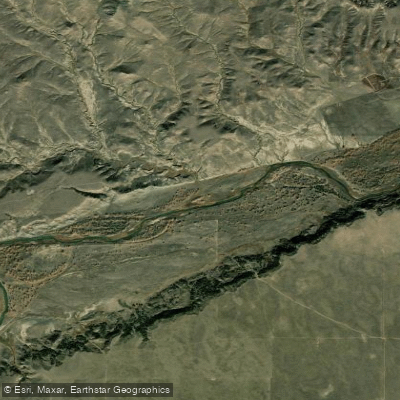
Cheyenne River
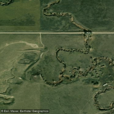
Spring Creek
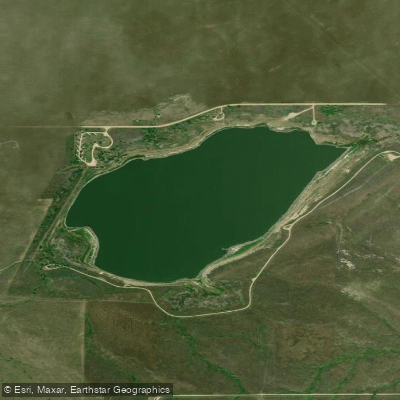
Bear Butte Lake
Explore South Dakota waters
Top paddling waters
Popular Cities
Loading popular cities...
Explore near Deerfield Lake
Access points
Nearby waters
More in South Dakota

Smarter Paddling Starts in the App.
Paddleways gives you everything you need to plan smarter, paddle better, and own every trip from first launch to takeout.