Spring Creek
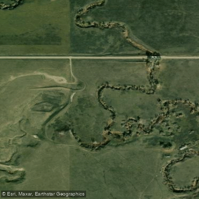
Spring Creek
- Boat Ramps
- 0
- Access Points
- 0
- Campsites
- 7
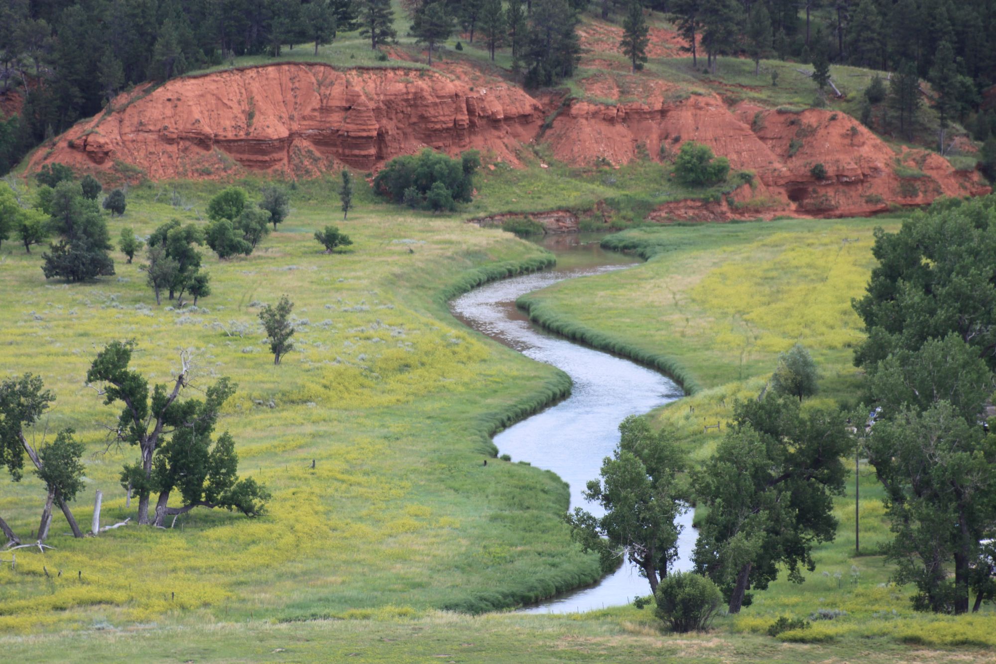
Spring Creek originates in the Black Hills of South Dakota, flowing through portions of Custer and Pennington Counties before emptying into Lake Oahe, a massive reservoir on the Missouri River. This spring-fed waterway drains a relatively small watershed characterized by granite outcrops, ponderosa pine forests, and the distinctive glaciated topography of the Lodi Marsh area near its confluence with the Cheyenne River system. The creek maintains surprisingly consistent flows year-round due to numerous natural springs that percolate directly from the bedrock, creating crystal-clear pools even during dry periods. These cold-water inputs support a trout fishery in upper reaches, with rainbow and brown trout present where conditions permit. The spring-fed nature keeps water temperatures relatively stable, though summer stratification occurs in deeper pools.
Paddling opportunities on Spring Creek are extremely limited and generally impractical. The upper watershed features shallow, narrow channels choked with deadfall, requiring frequent portages through steep-banked terrain. Water depths rarely exceed one foot in many sections, necessitating constant dragging and pushing rather than actual paddling. The creek's small size and heavy vegetation make it unsuitable for most recreational boating, though adventurous kayakers occasionally attempt short segments during peak spring runoff. Access is severely restricted by private land ownership and the remote nature of the drainage.
The Spring Creek Recreation Area near the creek's confluence with Lake Oahe provides the most practical public access, offering boat ramps, camping facilities, and a marina primarily serving Lake Oahe recreationists rather than creek paddlers. Pierre, located approximately 15 miles southeast, serves as the nearest significant town for supplies and services.
The surrounding landscape showcases exceptional biodiversity. Ponderosa pine and Black Hills spruce dominate forested areas, while riparian zones support willows and cottonwoods. Wildlife includes white-tailed deer, wild turkey, and occasional elk. Birdwatchers may observe bald eagles, osprey, great blue herons, and various waterfowl, particularly near the Lake Oahe confluence where marsh habitat attracts migrating species.
The Lodi Marsh area, though sharing the Spring Creek name, represents a separate geographic feature and should not be confused with this South Dakota drainage. Historical significance relates primarily to the reservoir's creation in the 1960s, which dramatically altered the creek's lower reaches and displaced indigenous communities. Paddlers considering Spring Creek should recognize that this is fundamentally a fishing stream rather than a paddling destination, with the adjacent Lake Oahe offering far superior boating opportunities.
Water access, boat ramps & amenities
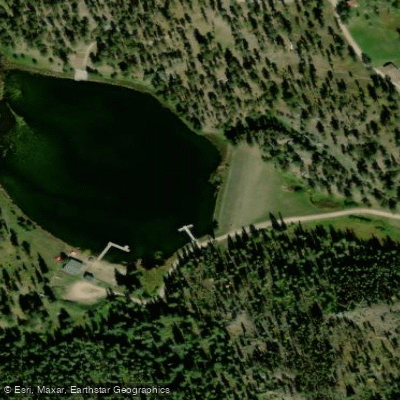
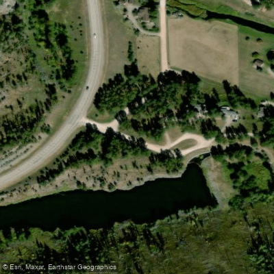
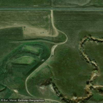
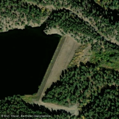
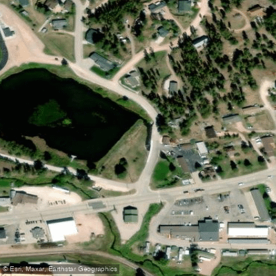
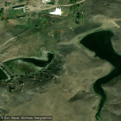
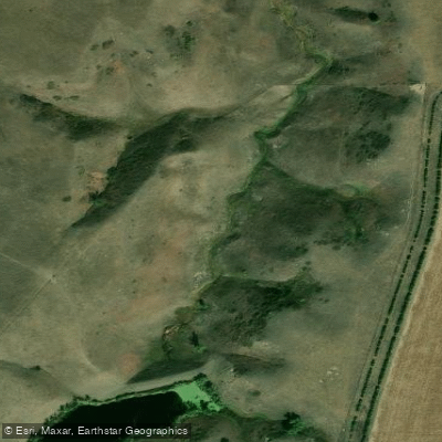
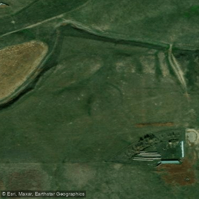
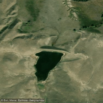
Learn how to get on Spring Creek. Uncover great paddling access points, boat ramps, and all the facilities you need for an unforgettable day on the water. Some locations shown may border or include private property. Always check property boundaries and applicable regulations before visiting. PaddleWays's Public & Private Land layer can help you plan your access with confidence.
Paddle smarter with real-time insights
Whether you're en route and conditions shift or you're looking for the best spot based on current flows, we enable you to make informed decisions on the fly.








Find Places to Paddle

Over 400,000 Places to Paddle
Every user gets free access to launch points, boat ramps, and public property parcels.


Water and weather conditions (10 day forecast)
See the best times to paddle Spring Creek and check the forecast before you go.
SPRING CREEK NEAR KEYSTONE,SD
All Flow Stations
Paddling near Spring Creek
Belle Fourche River
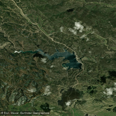
Pactola Reservoir
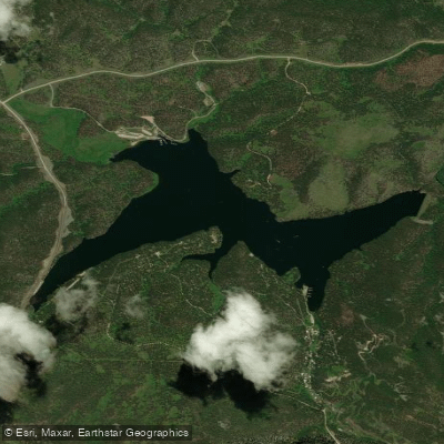
Sheridan Lake
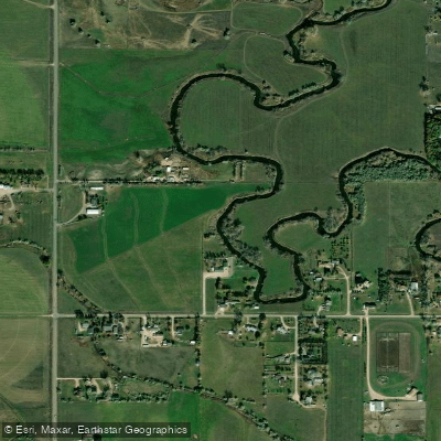
Rapid Creek
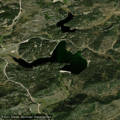
Stockade Lake
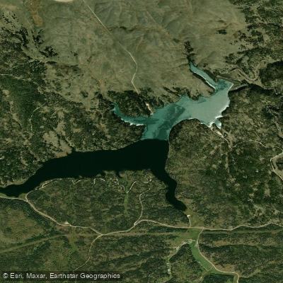
Deerfield Lake
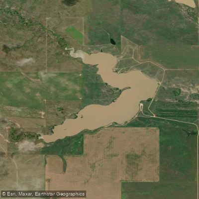
Curlew Lake
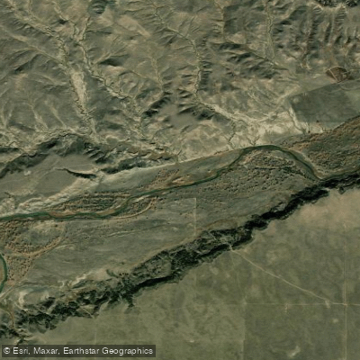
Cheyenne River
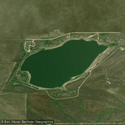
Bear Butte Lake
Explore South Dakota waters
Top paddling waters
Popular Cities
Loading popular cities...
Explore near Spring Creek
Access points
Nearby waters
More in South Dakota

Smarter Paddling Starts in the App.
Paddleways gives you everything you need to plan smarter, paddle better, and own every trip from first launch to takeout.