Sheridan Lake
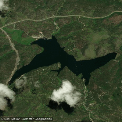
Sheridan Lake
- Boat Ramps
- 4
- Access Points
- 4
- Campsites
- 3
Sheridan Lake spans 375 acres in South Dakota's Black Hills National Forest, located 15 miles west of Rapid City. The lake features multiple access points, including boat launches on both the north and south shores, with the North Boat Launch offering access for both motorized and non-motorized vessels.
The lake is particularly suited for paddling in its numerous coves, which provide opportunities to escape boat traffic and observe wildlife. Paddlers frequently encounter turtles, herons, ducks, Canadian geese, and various fish species in these sheltered areas. A full circuit of the lake typically takes 2-4 hours by kayak, depending on pace and stops.
Facilities include two swimming beaches, a marina offering kayak and paddleboard rentals, and multiple fishing piers. The marina also provides supplies and boat slip rentals. Two campgrounds border the lake, with the south shore campground being the largest in the Black Hills National Forest at 129 sites.
Early morning hours typically offer the calmest water conditions before motorized boat traffic increases. The lake is especially peaceful after storms, when the water often becomes glass-like. While motorized boats are permitted, the lake's modest size helps limit large boat traffic.
For extended exploration, paddlers can access the Spring Creek Trail and Flume Trail from lakeside trailheads. Dakota Point, a popular local landmark, features distinctive cliffs along the shoreline. The lake supports populations of rainbow trout, brown trout, northern pike, and perch, with ice fishing common in winter.
The surrounding forest creates a scenic backdrop of pine-covered hills, and rock formations border portions of the lake. Crystal-clear waters enhance visibility, though paddlers should be aware that afternoon winds can quickly change conditions from calm to choppy.
Water access, boat ramps & amenities
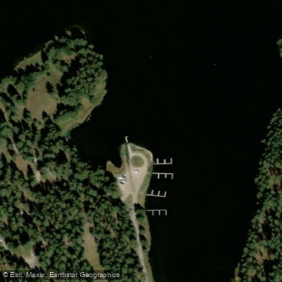
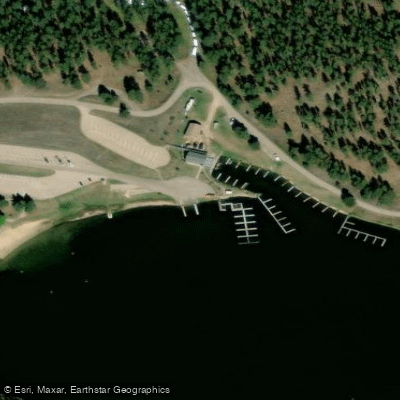
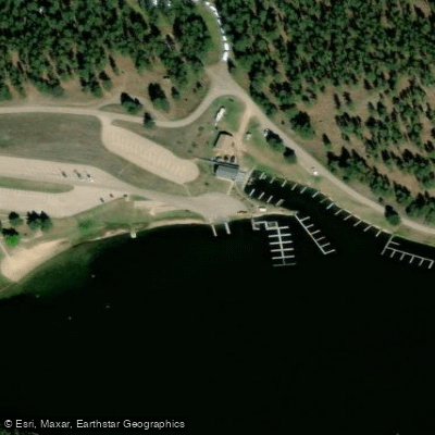
Learn how to get on Sheridan Lake. Uncover great paddling access points, boat ramps, and all the facilities you need for an unforgettable day on the water. Some locations shown may border or include private property. Always check property boundaries and applicable regulations before visiting. PaddleWays's Public & Private Land layer can help you plan your access with confidence.
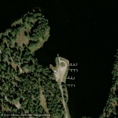
Paddle smarter with real-time insights
Whether you're en route and conditions shift or you're looking for the best spot based on current flows, we enable you to make informed decisions on the fly.








Find Places to Paddle

Over 400,000 Places to Paddle
Every user gets free access to launch points, boat ramps, and public property parcels.


Water and weather conditions (10 day forecast)
See the best times to paddle Sheridan Lake and check the forecast before you go.
No forecast data available.
Paddling near Sheridan Lake
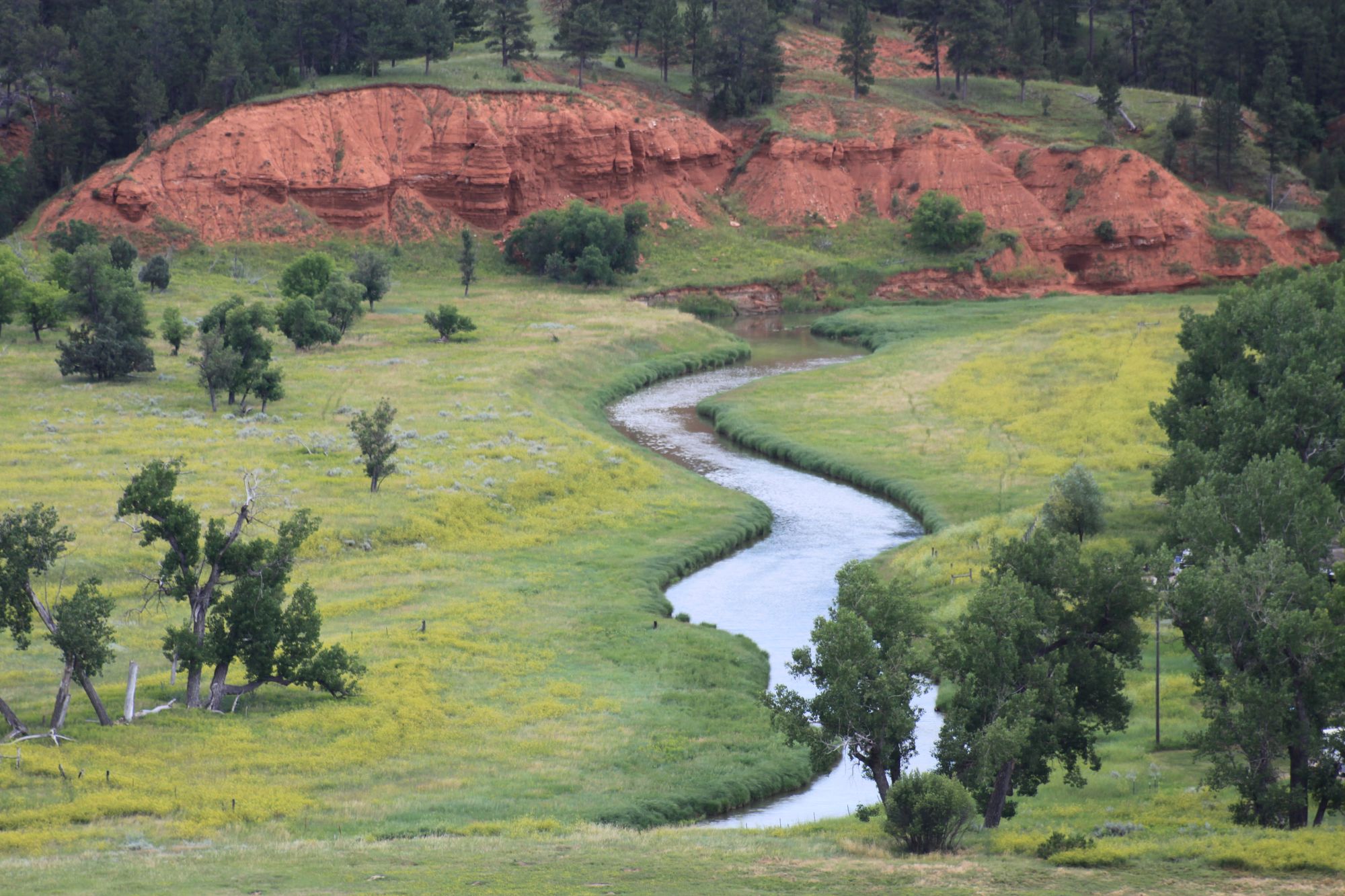
Belle Fourche River
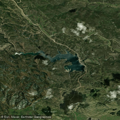
Pactola Reservoir
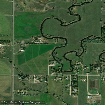
Rapid Creek
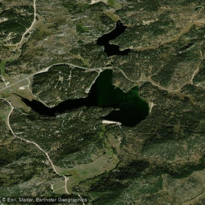
Stockade Lake
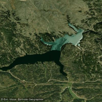
Deerfield Lake
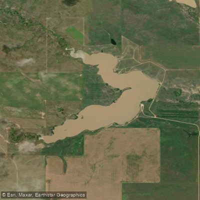
Curlew Lake
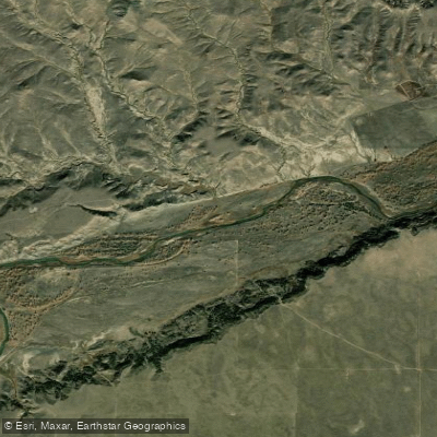
Cheyenne River
Spring Creek
Bear Butte Lake
Explore South Dakota waters
Top paddling waters
Popular Cities
Loading popular cities...
Explore near Sheridan Lake
Access points
Nearby waters
More in South Dakota

Smarter Paddling Starts in the App.
Paddleways gives you everything you need to plan smarter, paddle better, and own every trip from first launch to takeout.