Choteau Creek
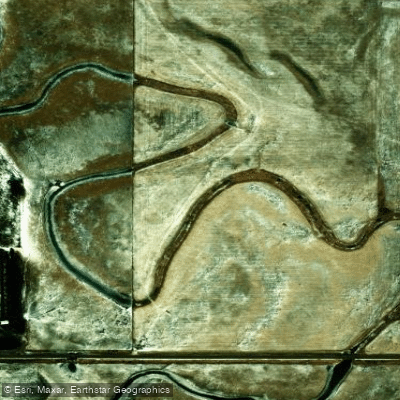
Choteau Creek
- Boat Ramps
- 0
- Access Points
- 0
- Campsites
- 0
Choteau Creek is a tributary of the Missouri River located in southeastern South Dakota. The creek originates in Charles Mix County and flows generally southward for approximately 30 miles before joining the Missouri River near the town of Wagner. Choteau Creek drains a watershed of rolling prairie and agricultural lands typical of this region of South Dakota.
While relatively small, Choteau Creek offers some paddling opportunities for kayakers and canoeists, particularly in its lower reaches near the confluence with the Missouri. The creek is mostly flatwater with occasional riffles, suitable for beginner to intermediate paddlers. Water levels can fluctuate seasonally, with spring typically offering the best flows for paddling. Late summer and fall often see lower water levels that may require portaging in some sections.
The riparian corridor along Choteau Creek supports a variety of flora and fauna. Cottonwood and willow trees line the banks, providing habitat for birds like great blue herons and bald eagles. Deer, coyotes, and smaller mammals can sometimes be spotted near the water's edge. The creek is home to several fish species including channel catfish and northern pike.
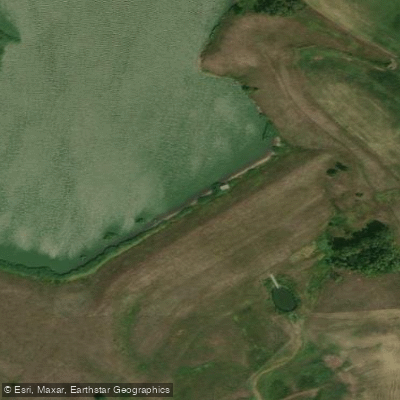
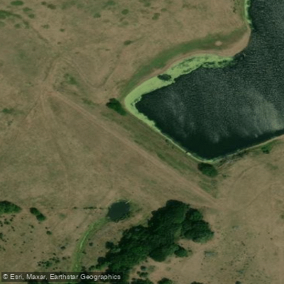
A key landmark is the Choteau Creek Tributary near Wagner, which is a popular put-in spot for paddlers exploring the lower creek. The town of Wagner, located about 5 miles east of the creek's mouth, serves as the primary access point and supply stop for paddlers.
Choteau Creek holds cultural significance for the Yankton Sioux Tribe, whose reservation encompasses part of the creek's watershed. The creek and surrounding lands have been important to the tribe for centuries, used for fishing, hunting, and gathering of plants.
Safety considerations include checking water levels before paddling, as low flows can create obstacles. Paddlers should also be aware of private property along the banks and respect landowner rights. There are no formal regulations specific to paddling Choteau Creek, but standard water safety practices should be followed.
While multi-day trips are not common on Choteau Creek itself due to its size, paddlers can incorporate the creek into longer journeys on the Missouri River. The 39-mile stretch of the Missouri National Recreational River from Fort Randall Dam to Running Water offers excellent multi-day paddling opportunities, with Choteau Creek providing an interesting side trip or day paddle option.
Water access, boat ramps & amenities
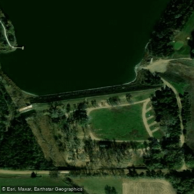
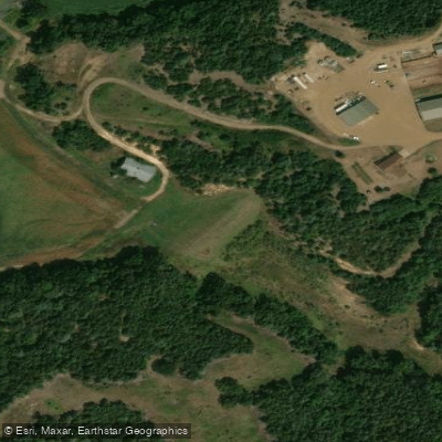
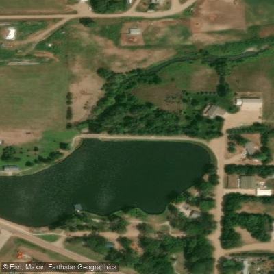
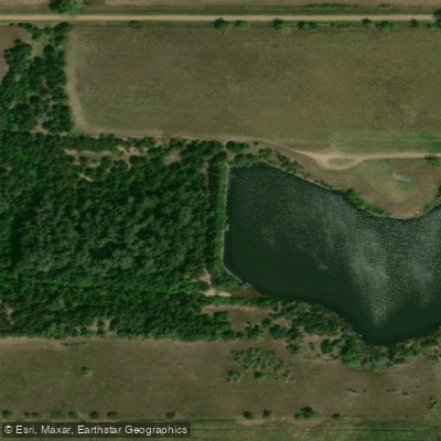
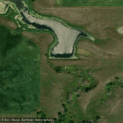
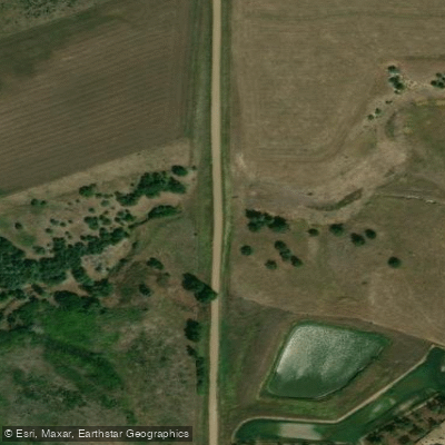
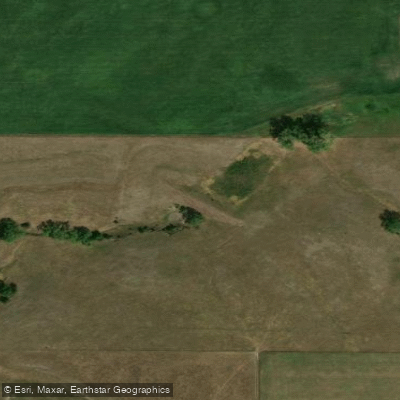
Learn how to get on Choteau Creek. Uncover great paddling access points, boat ramps, and all the facilities you need for an unforgettable day on the water. Some locations shown may border or include private property. Always check property boundaries and applicable regulations before visiting. PaddleWays's Public & Private Land layer can help you plan your access with confidence.
Paddle smarter with real-time insights
Whether you're en route and conditions shift or you're looking for the best spot based on current flows, we enable you to make informed decisions on the fly.








Find Places to Paddle

Over 400,000 Places to Paddle
Every user gets free access to launch points, boat ramps, and public property parcels.


Water and weather conditions (10 day forecast)
See the best times to paddle Choteau Creek and check the forecast before you go.
CHOTEAU CR NR AVON SD
Paddling near Choteau Creek

Missouri River
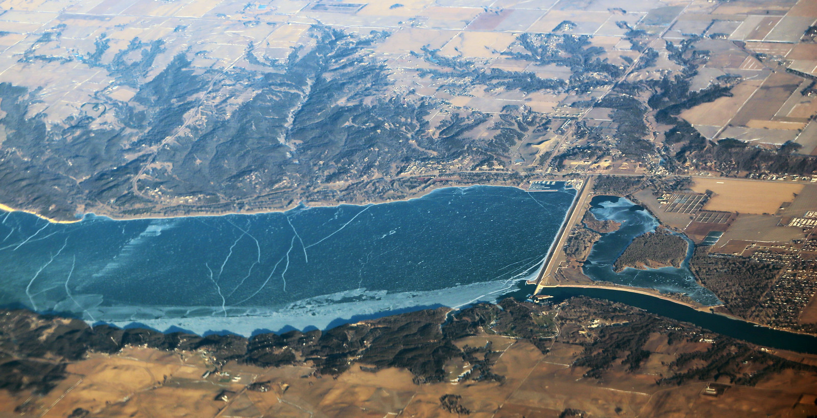
Lewis and Clark Lake
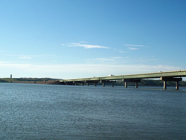
Lake Francis Case
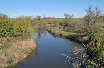
James River
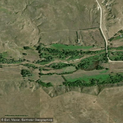
Niobrara River
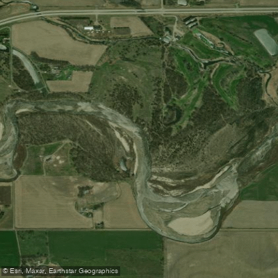
Elkhorn River
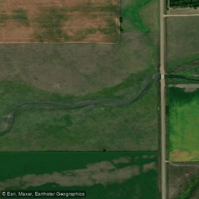
Beaver Creek
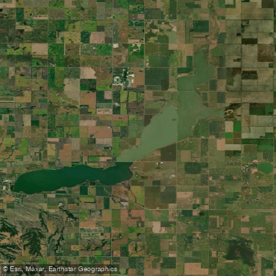
Lake Andes
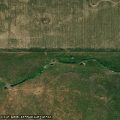
Pease Creek
Explore South Dakota waters
Top paddling waters
Popular Cities
Loading popular cities...
Explore near Choteau Creek

Smarter Paddling Starts in the App.
Paddleways gives you everything you need to plan smarter, paddle better, and own every trip from first launch to takeout.