Herb Parsons Lake
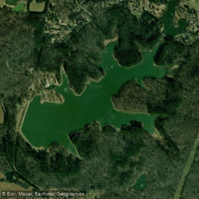
Herb Parsons Lake
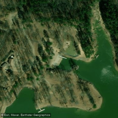
- Boat Ramps
- 1
- Access Points
- 1
- Campsites
- 0
IMPORTANT NOTICE: Herb Parsons Lake, a 177-acre reservoir in Fayette County, Tennessee, has specific restrictions that affect paddlers. The lake is managed by the Tennessee Wildlife Resources Agency (TWRA) and requires both a Tennessee fishing license and a lake permit for all boat access, including non-fishing vessels. As of 2019, daily access costs included a $6 fishing license plus a $6.50 lake permit.
The lake features a boat launching ramp and is equipped with basic amenities including restrooms, picnic areas, and a fishing pier. A concession area offers food, bait and tackle, and boat rentals. The lake stretches approximately 4,950 feet in length with a maximum width of 2,400 feet, providing a moderate-sized area for paddling.
Originally known as Fisherville Lake, the reservoir was opened in 1954 and renamed in 1964 to honor Herb Parsons, a renowned local exhibition shooter. The southern cove area contains beaver dams, which paddlers should note. Multiple trails encircle the lake, including a 7-mile walking path featuring marked tree species.
The lake is primarily managed for fishing, with regular stockings of channel catfish and hybrid striped bass. Wildlife observers may encounter various fish species including largemouth bass, bluegill, crappie, and catfish. The lake's surface elevation is 384 feet above sea level.
Access is available at 140 Herb Parsons Way near Collierville. The lake lies fifteen miles north of Collierville on Fisherville Lake Road. Visitors should verify current permit requirements and fees with TWRA Region 1 Office before planning their trip, as regulations and costs may change.
Water access, boat ramps & amenities
Learn how to get on Herb Parsons Lake. Uncover great paddling access points, boat ramps, and all the facilities you need for an unforgettable day on the water. Some locations shown may border or include private property. Always check property boundaries and applicable regulations before visiting. PaddleWays's Public & Private Land layer can help you plan your access with confidence.
Paddle smarter with real-time insights
Whether you're en route and conditions shift or you're looking for the best spot based on current flows, we enable you to make informed decisions on the fly.








Find Places to Paddle

Over 400,000 Places to Paddle
Every user gets free access to launch points, boat ramps, and public property parcels.


Water and weather conditions (10 day forecast)
See the best times to paddle Herb Parsons Lake and check the forecast before you go.
No forecast data available.
Paddling near Herb Parsons Lake
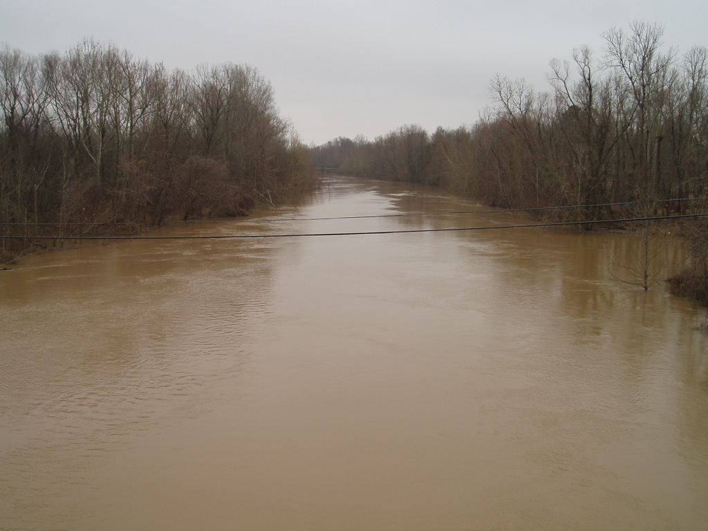
Coldwater River

Mississippi River
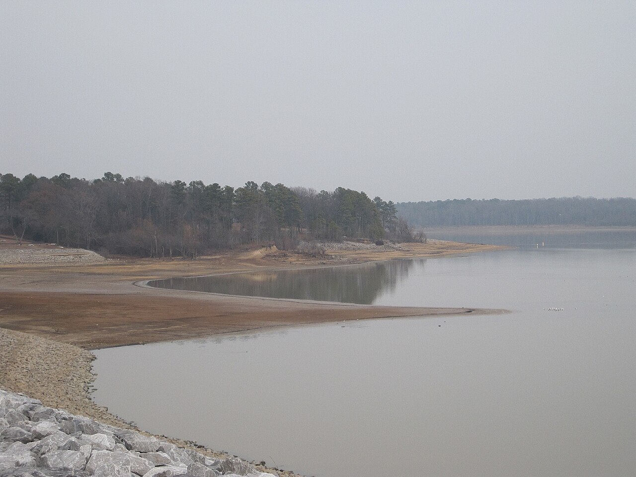
Arkabutla Lake
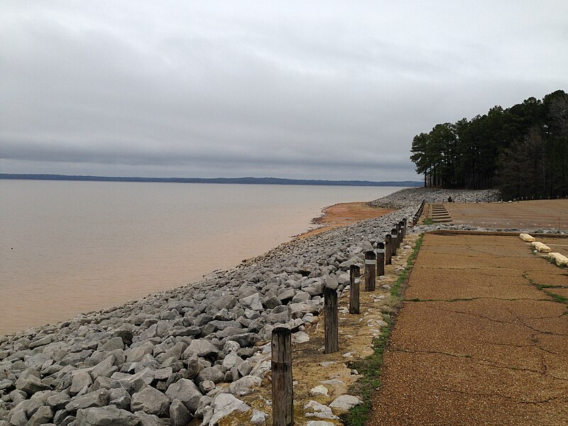
Sardis Lake
Little Tallahatchie River
Wolf River
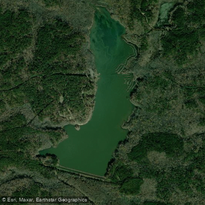
Chewalla Lake
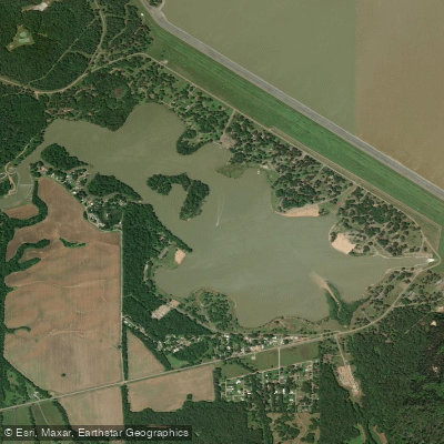
Lower Lake
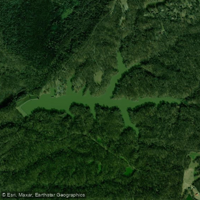
Poplar Tree Lake
Explore Tennessee waters
Top paddling waters
Popular Cities
Loading popular cities...
Explore near Herb Parsons Lake

Smarter Paddling Starts in the App.
Paddleways gives you everything you need to plan smarter, paddle better, and own every trip from first launch to takeout.