Lower Lake
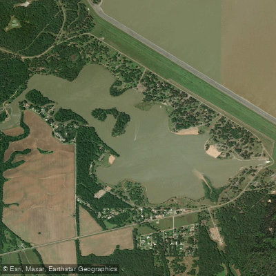
Lower Lake
- Boat Ramps
- 1
- Access Points
- 3
- Campsites
- 6
Lower Lake is a 400-acre body of water located below Sardis Dam in Mississippi. The lake features an ADA-accessible boat ramp and dock, with a $5 daily launch fee or $40 annual pass option. Multiple pavilions and day-use areas border the lake, including facilities at Cypress Point, Riverside, and Big Acres.
The lake is a popular fishing destination, particularly for crappie, catfish, and bass. Boating activities are permitted, though beginning August 2024, water levels will be temporarily lowered for maintenance work on the outlet channel, restricting boating to fishing only during this period. During normal operations, the lake accommodates various watercraft, from kayaks to motorized boats.
Several amenities enhance the paddling experience, including picnic areas, restrooms, and covered benches along the north and south outlet channels. The Sardis Lake Arboretum traces the Lower Lake area, showcasing various tree species that contribute to the lake's aesthetic appeal. The Oak Grove Campground, located midway along the dam, provides 82 campsites with modern facilities for overnight stays.
Swimming beaches are available at Cypress Point and Paradise Point, though paddlers should be aware of designated swimming areas. Life jacket loaner boards are stationed at swimming beaches, and wearing a life jacket is strongly recommended for all water activities.
For wildlife enthusiasts, the area supports diverse species including waterfowl and fish. The lake's connection to the outlet channel and dam operations can affect water conditions, so paddlers should check with the Sardis Lake Field Office (662-563-4531) for current information about releases and water levels. The lake is managed by the U.S. Army Corps of Engineers, which maintains visitor facilities and enforces safety regulations.
Water access, boat ramps & amenities
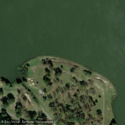
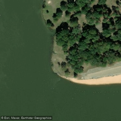
Learn how to get on Lower Lake. Uncover great paddling access points, boat ramps, and all the facilities you need for an unforgettable day on the water. Some locations shown may border or include private property. Always check property boundaries and applicable regulations before visiting. PaddleWays's Public & Private Land layer can help you plan your access with confidence.
Paddle smarter with real-time insights
Whether you're en route and conditions shift or you're looking for the best spot based on current flows, we enable you to make informed decisions on the fly.








Find Places to Paddle

Over 400,000 Places to Paddle
Every user gets free access to launch points, boat ramps, and public property parcels.


Water and weather conditions (10 day forecast)
See the best times to paddle Lower Lake and check the forecast before you go.
No forecast data available.
Paddling near Lower Lake
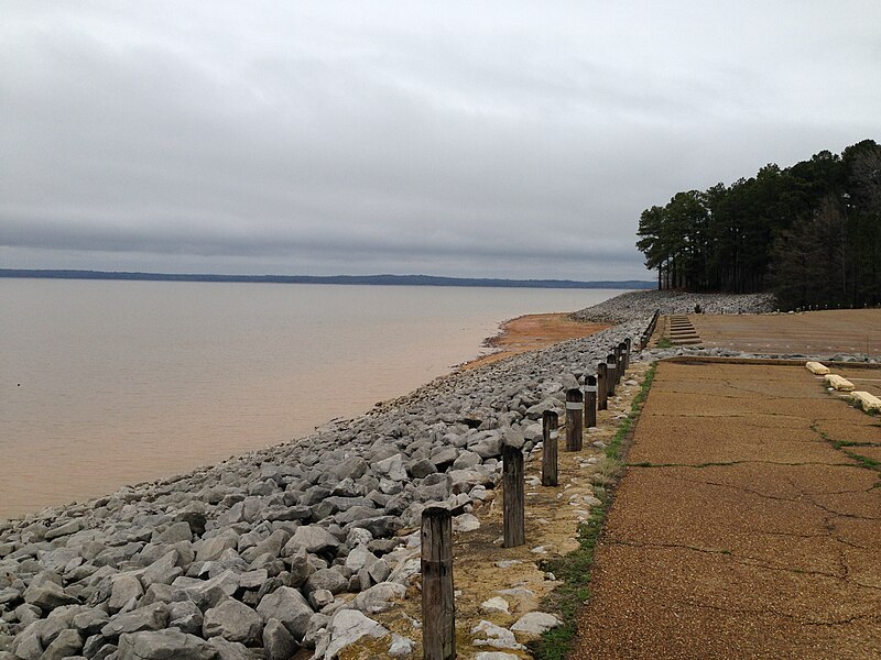
Sardis Lake
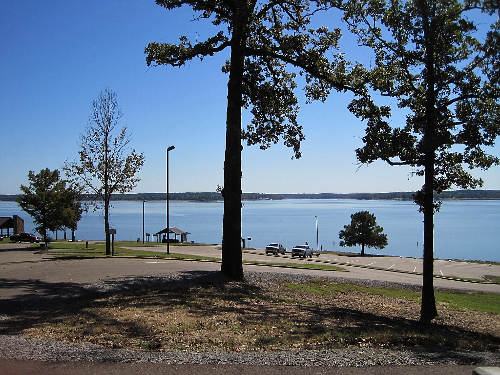
Enid Lake
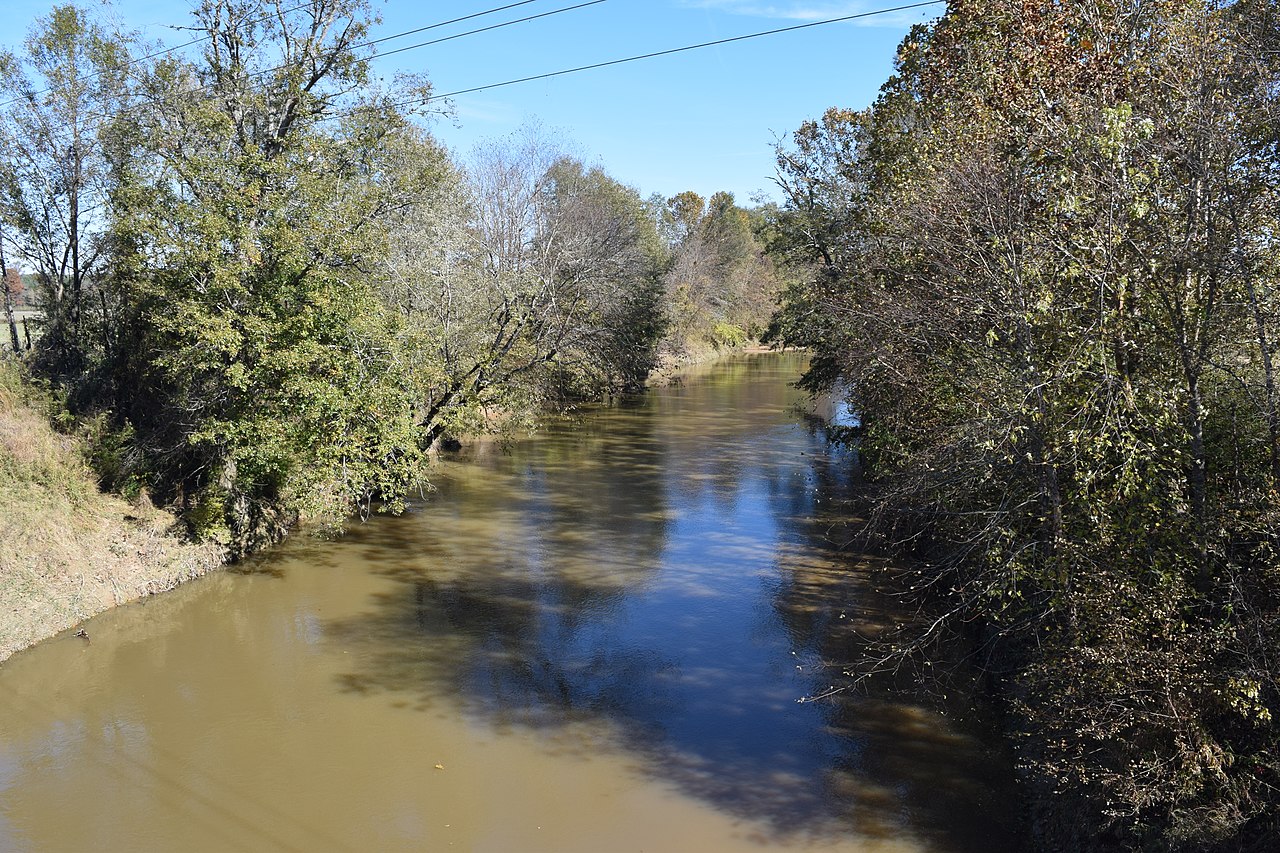
Yocona River
Little Tallahatchie River
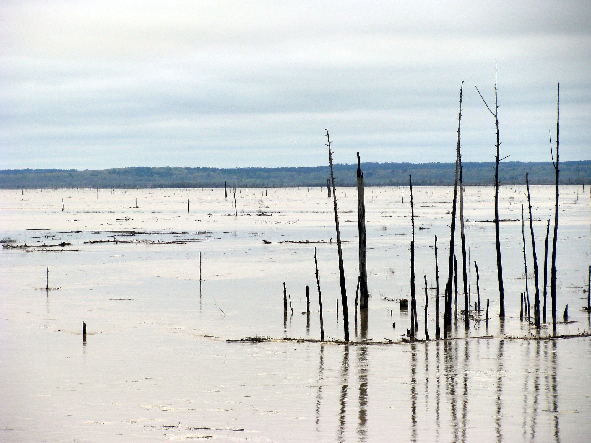
Grenada Lake
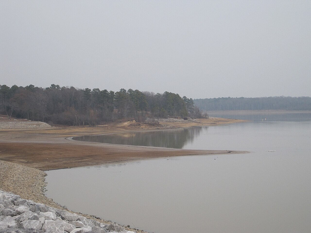
Arkabutla Lake
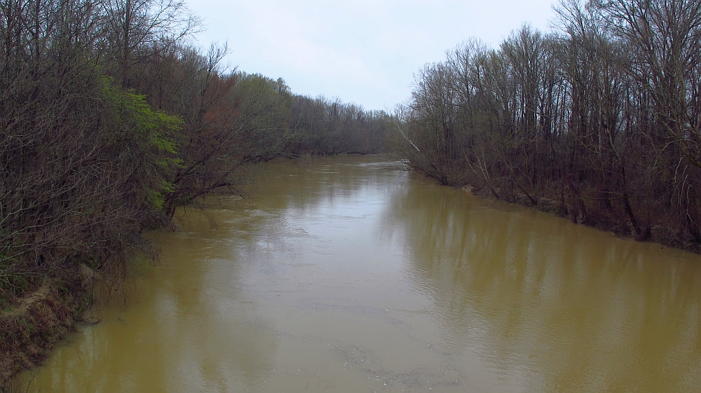
Yalobusha River
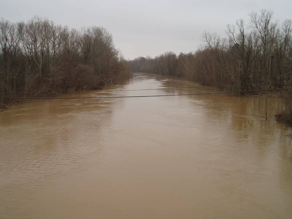
Coldwater River
Puskus Lake
Explore Mississippi waters
Top paddling waters
Popular Cities
Loading popular cities...
Explore near Lower Lake
Access points
Nearby waters
More in Mississippi

Smarter Paddling Starts in the App.
Paddleways gives you everything you need to plan smarter, paddle better, and own every trip from first launch to takeout.