Sardis Lake
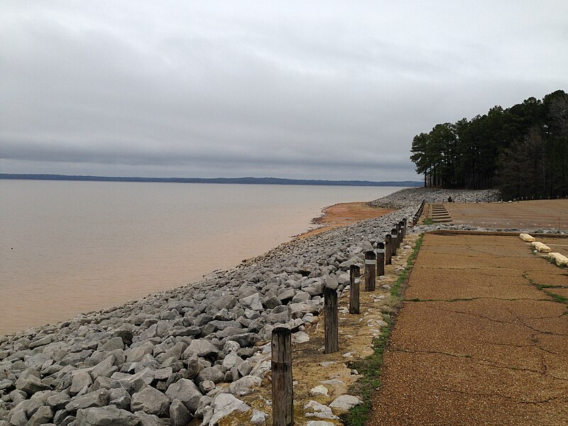
Sardis Lake
- Boat Ramps
- 20
- Access Points
- 33
- Campsites
- 16
Sardis Lake in Mississippi offers paddlers a 32,100-acre reservoir with diverse recreational opportunities. The lake features clear waters and scenic beauty, making it an attractive destination for kayakers and canoeists. Multiple boat ramps provide easy access, including Engineer Point, Cole's Point, Pat's Bluff, Clear Creek, Hurricane Landing, and Wyatt Crossing.
The lake's water levels fluctuate seasonally, with summer pool from May 1 to August 1 at 260 feet, and a winter drawdown to 236 feet by December 1. Paddlers should be aware of potential water level changes and adjust their plans accordingly. The lake's size allows for plenty of exploration, with miles of undeveloped shoreline offering a sense of solitude.
Sardis Lake is known for its excellent fishing, with populations of largemouth bass, crappie, and catfish. Paddlers may encounter various wildlife, including waterfowl. The surrounding landscape features a mix of upland hardwoods and pine forests.
Several day use areas around the lake offer amenities such as picnic tables, grills, and restrooms. Beaches are available at Cypress Point, Paradise Point, and Main Beach on the lower lake. For longer stays, multiple campgrounds provide options for overnight trips.
The lake was originally built for flood control in 1939 but has since become a popular recreation destination. Water quality is generally good, with Sardis described as one of the clearest lakes in Mississippi.
Paddlers should be aware of potential boat traffic, especially during peak summer months. Always check current regulations and consider wearing a life jacket, as the lake provides life jacket loaner stations at swimming beaches.
Water access, boat ramps & amenities
Learn how to get on Sardis Lake. Uncover great paddling access points, boat ramps, and all the facilities you need for an unforgettable day on the water. Some locations shown may border or include private property. Always check property boundaries and applicable regulations before visiting. PaddleWays's Public & Private Land layer can help you plan your access with confidence.
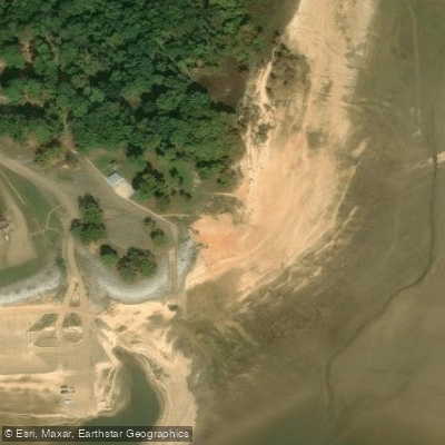
Teckville Public Use Area Access
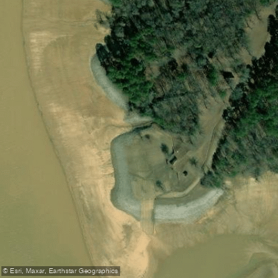
Clear Creek Landing Access
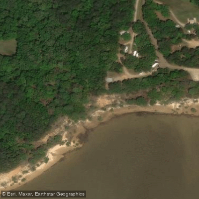
Wyatt Crossing Public Use Area Access
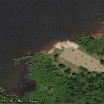
Coontown Crossing Use Area Access
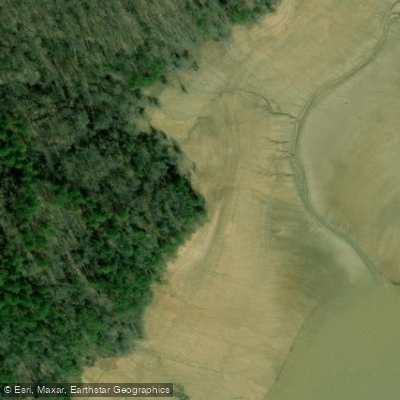
Lespideza Point Access
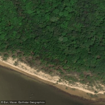
Redmans Bluff Public Use Area Access
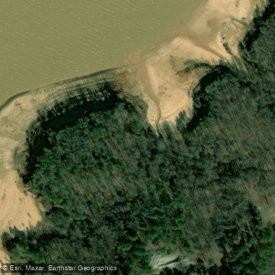
Pats Bluff Public Use Area Access
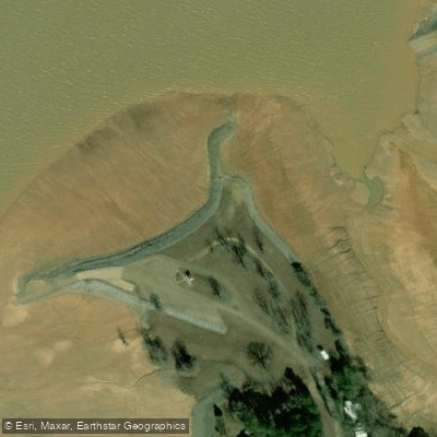
Coles Point Use Area Access
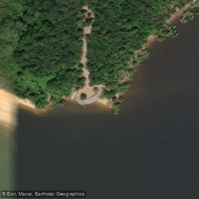
Piney Point Public Use Area Access
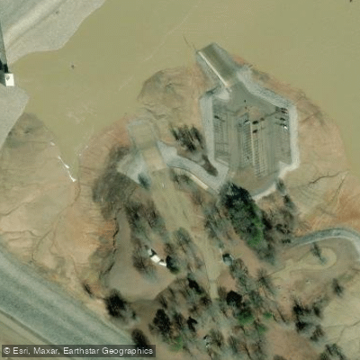
Engineer Point Access
Paddle smarter with real-time insights
Whether you're en route and conditions shift or you're looking for the best spot based on current flows, we enable you to make informed decisions on the fly.








Find Places to Paddle

Over 400,000 Places to Paddle
Every user gets free access to launch points, boat ramps, and public property parcels.


Water and weather conditions (10 day forecast)
See the best times to paddle Sardis Lake and check the forecast before you go.
No forecast data available.
Paddling near Sardis Lake
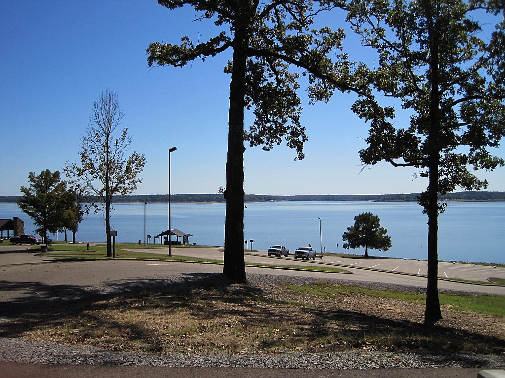
Enid Lake
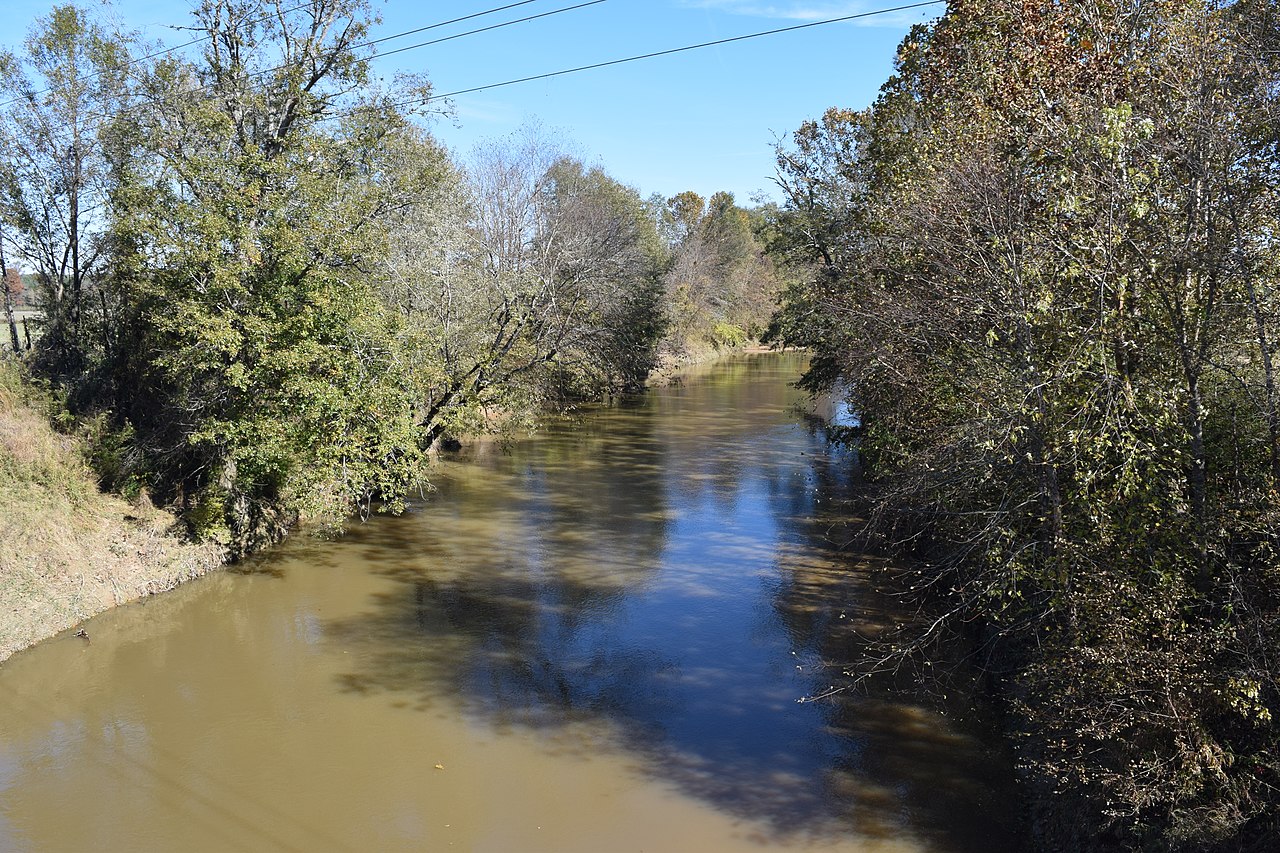
Yocona River
Little Tallahatchie River
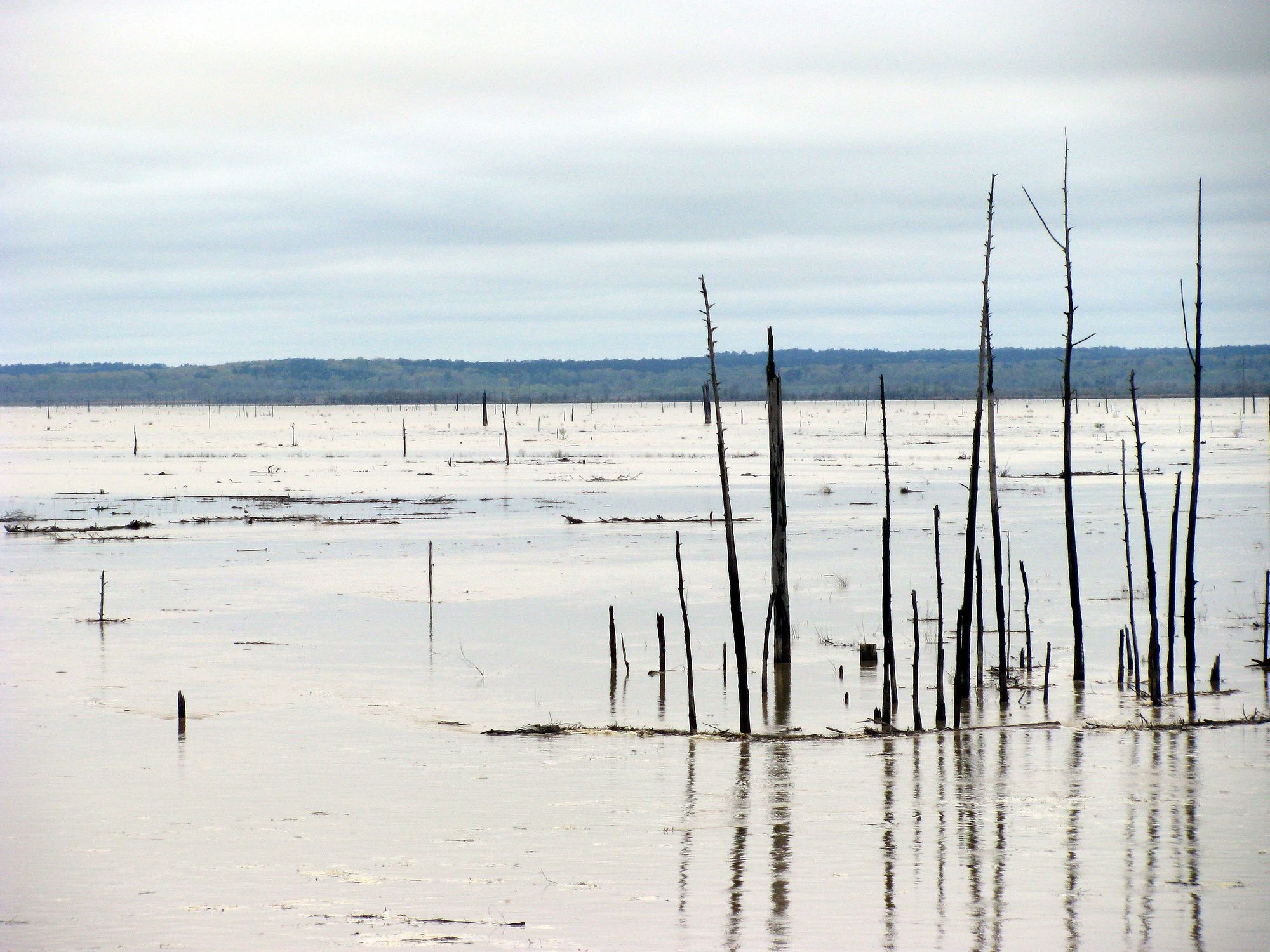
Grenada Lake
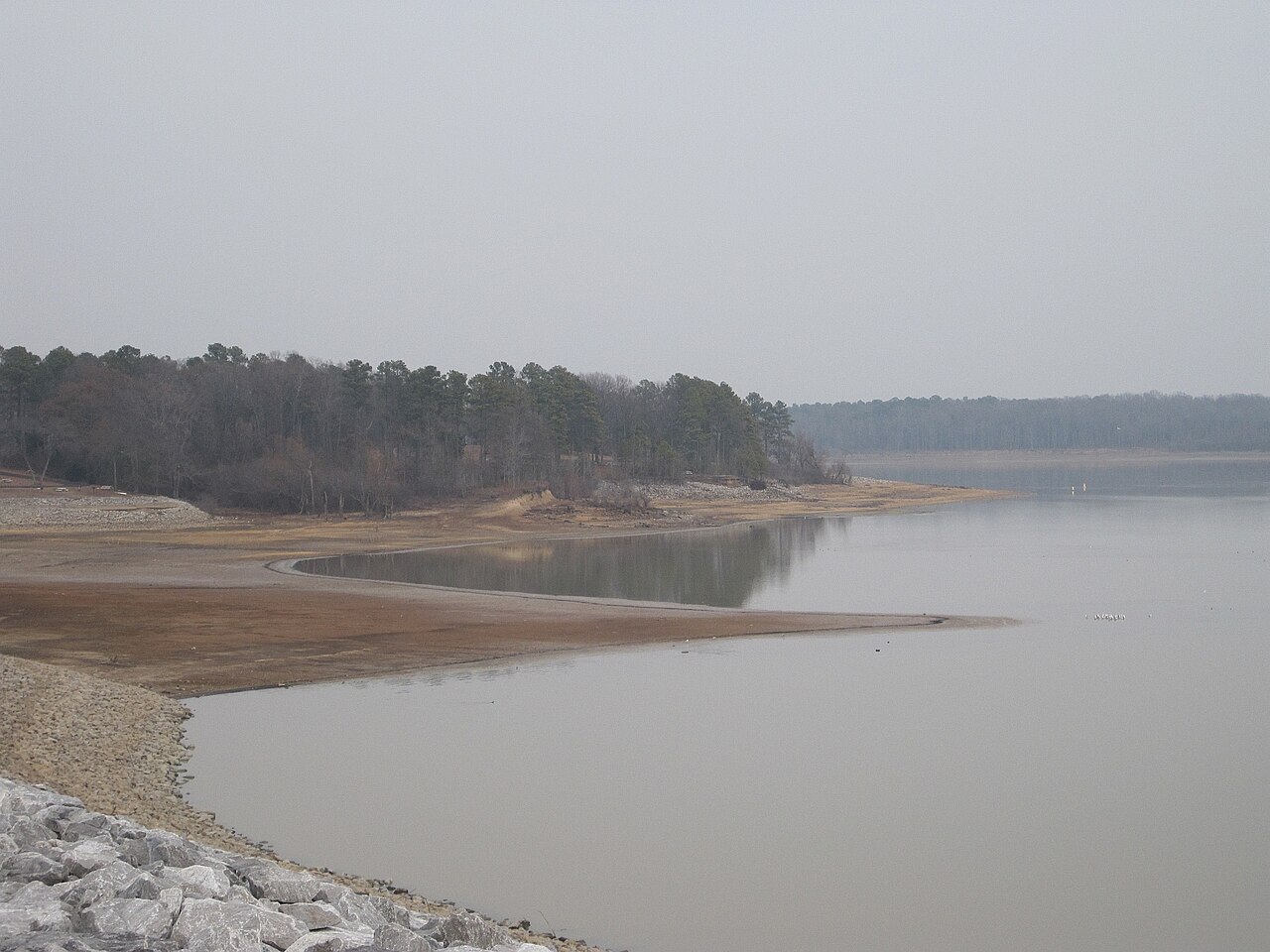
Arkabutla Lake
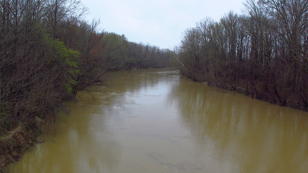
Yalobusha River
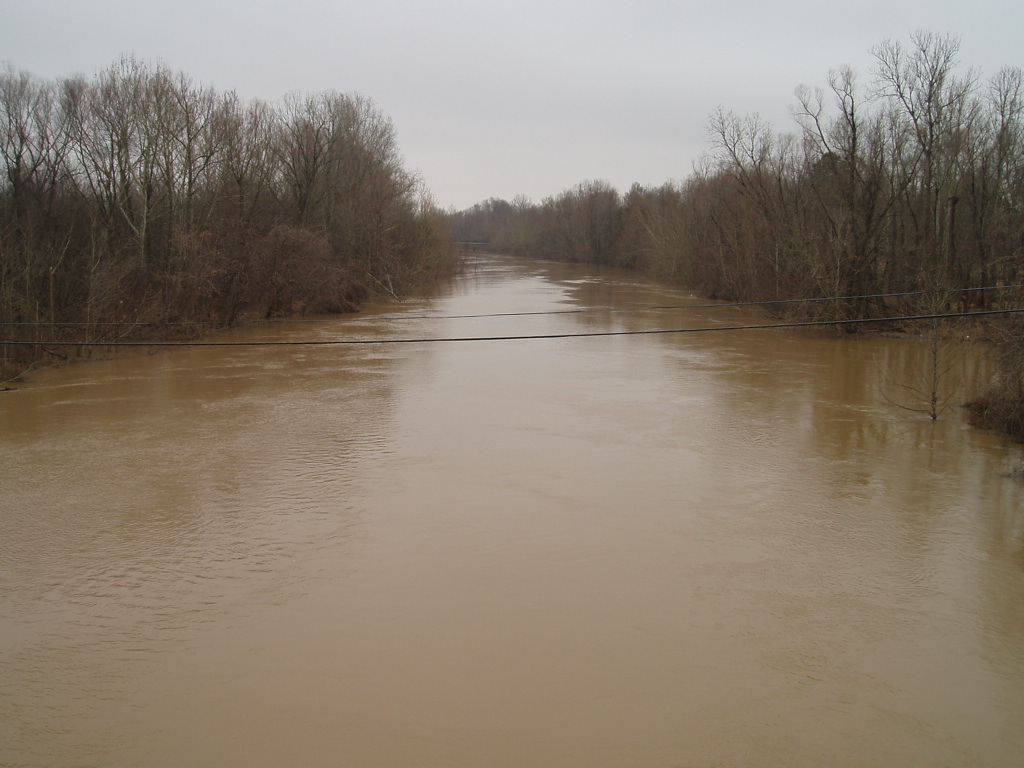
Coldwater River
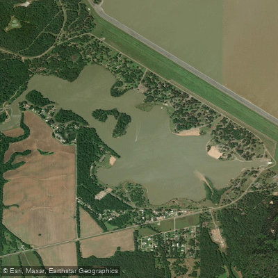
Lower Lake
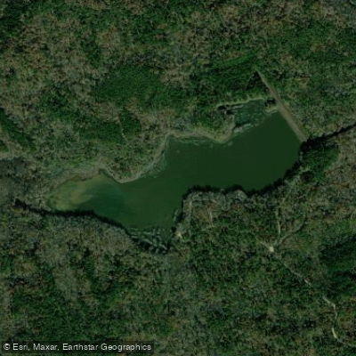
Puskus Lake
Explore Mississippi waters
Top paddling waters
Popular Cities
Loading popular cities...
Explore near Sardis Lake
Access points
- Wyatts Crossing #3 Boat Ramp
- Wyatts Crossing #4 Boat Ramp
- Wyatts Crossing #1 Boat Ramp
- Engineer's Point #2 Boat Ramp
- Graham Lake Boat Ramp
- Coontown Boat Ramp
- Veterans Memoral Bridge Boat Ramp
- Engineers Point Boat Ramp
- Beach Point Boat Ramp
- Hurricane Landing Boat Ramp
- Pats Bluff Boat Ramp
- Coles Point Boat Ramp
- All 120 spots
Nearby waters
More in Mississippi

Smarter Paddling Starts in the App.
Paddleways gives you everything you need to plan smarter, paddle better, and own every trip from first launch to takeout.