Little Tallahatchie River
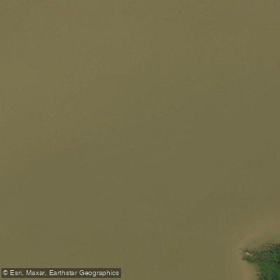
Little Tallahatchie River
- Boat Ramps
- 1
- Access Points
- 1
- Campsites
- 15
The Little Tallahatchie River is a scenic waterway in northern Mississippi, originating in Tippah County and flowing southwest for approximately 85 miles before joining the Tallahatchie River proper. This river system is part of the larger Yazoo River watershed, which ultimately drains into the Mississippi River. Paddling opportunities on the Little Tallahatchie are primarily flatwater experiences, making it an excellent destination for beginners and families. The river features a wide channel with a gentle current, creating a relaxing environment for canoeists and kayakers. Several established paddling sections offer varied trip lengths, from short 3.5-mile floats to longer full-day excursions.
The most popular paddling routes include: 1. The Little Tallahatchie River Canoe Trail: A 6.3-mile stretch near Sardis, starting on Spalding Creek and joining the main river. 2. Graham Lake to Abbeville: A 3.5-mile section with a put-in at Graham Lake boat ramp. 3. Graham Lake to Sardis Lake: A longer 5.5-6.5 mile paddle ending at Hurricane Landing on Sardis Lake. The river's difficulty is consistently rated as easy flatwater, suitable for paddlers of all skill levels. However, wind conditions on Sardis Lake can add challenge to longer trips.
Spring and fall offer the best paddling conditions, with comfortable temperatures and adequate water levels. Summer can be enjoyable but may require precautions against heat and sun exposure. The Little Tallahatchie flows through typical Southern riparian ecosystems, featuring hardwood forests and wetlands. Paddlers can expect to see a variety of birds, including herons and waterfowl. While alligators are present in the region, encounters are rare on this stretch of river.
Key access points include the boat ramp at Graham Lake on County Road 297, the put-in on MS-315 for the Canoe Trail, and Hurricane Landing on Sardis Lake. Nearby towns like Sardis, Batesville, and Oxford provide amenities for paddlers. The river holds historical significance as part of the Tallahatchie River system, which played a role in the agricultural development of the Mississippi Delta region. Today, it serves as an important recreational resource, with ongoing efforts to develop additional amenities along its course.
Safety considerations include being aware of weather conditions, especially when paddling on Sardis Lake, and following standard river safety practices. As development continues, paddlers should check for any new regulations or access changes. While primarily used for day trips, the connection to Sardis Lake offers potential for multi-day adventures for those wishing to combine river and lake paddling experiences. The Little Tallahatchie River provides a perfect introduction to Mississippi's waterways, offering scenic beauty and tranquil paddling opportunities for outdoor enthusiasts of all levels.
Water access, boat ramps & amenities
Learn how to get on Little Tallahatchie River. Uncover great paddling access points, boat ramps, and all the facilities you need for an unforgettable day on the water. Some locations shown may border or include private property. Always check property boundaries and applicable regulations before visiting. PaddleWays's Public & Private Land layer can help you plan your access with confidence.
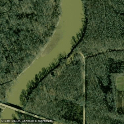
Paddle smarter with real-time insights
Whether you're en route and conditions shift or you're looking for the best spot based on current flows, we enable you to make informed decisions on the fly.








Find Places to Paddle

Over 400,000 Places to Paddle
Every user gets free access to launch points, boat ramps, and public property parcels.


Water and weather conditions (10 day forecast)
See the best times to paddle Little Tallahatchie River and check the forecast before you go.
LITTLE TALLAHATCHIE RIVER AT ETTA, MS
Paddling near Little Tallahatchie River
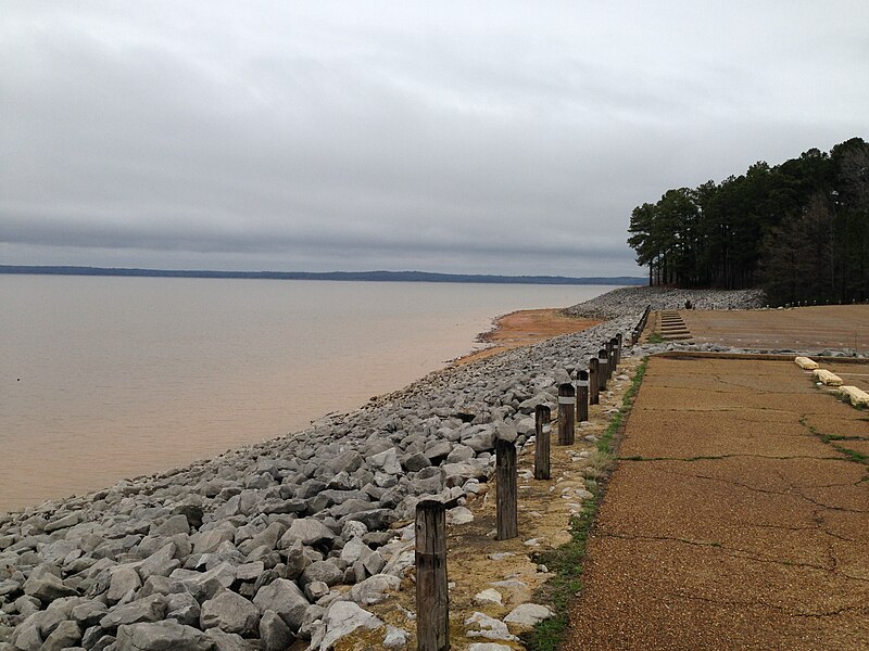
Sardis Lake
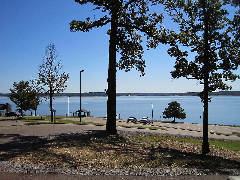
Enid Lake
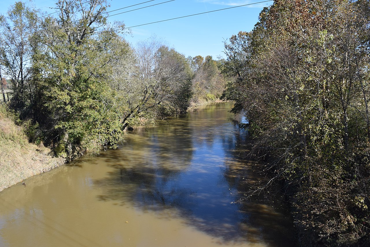
Yocona River
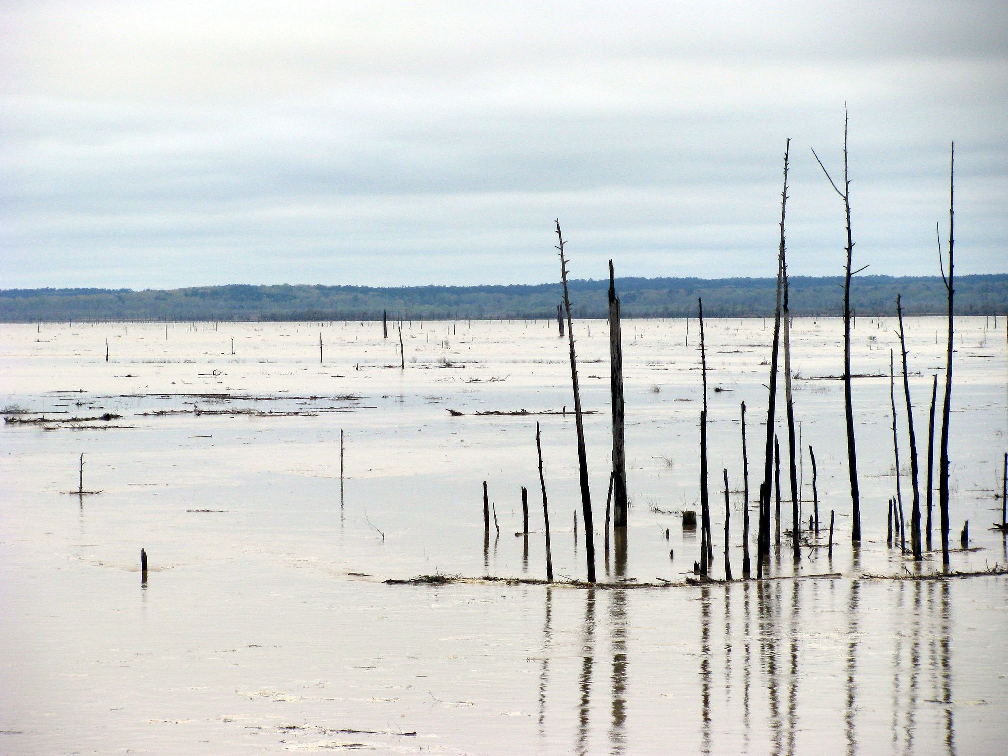
Grenada Lake
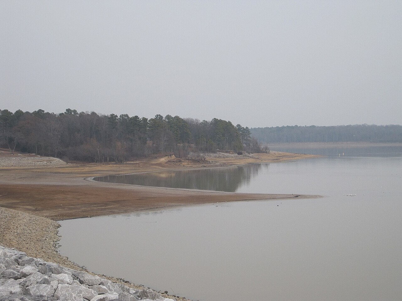
Arkabutla Lake
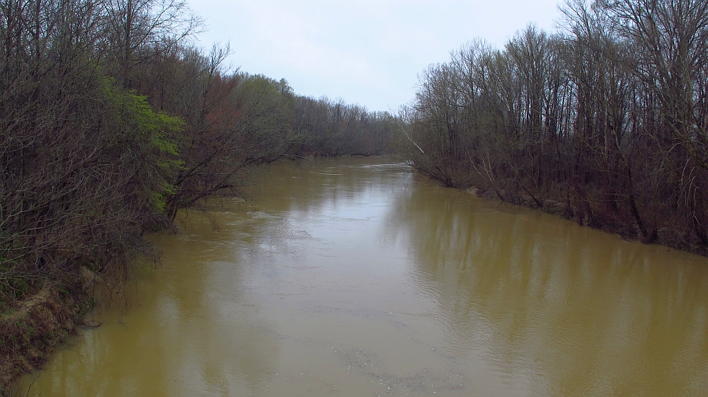
Yalobusha River
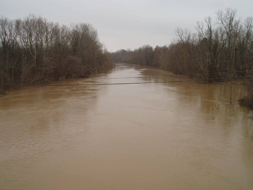
Coldwater River
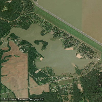
Lower Lake
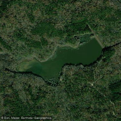
Puskus Lake
Explore Mississippi waters
Top paddling waters
Popular Cities
Loading popular cities...
Explore near Little Tallahatchie River
Access points
- Paducah Wells Boat Ramp
- Tallahatchie Canal Bridge
- Little Tallahatchie Bridge
- Tallahatchie River Bridge
- Tallahatchie River Bridge
- Tallahatchie River Bridge
- Panola-quitman Floodway Bridge
- Tallahatchie Canal Bridge
- Tallahtchie River Bridge
- Tallahatchie River Bridge
- Tallahatchie River Bridge
- Clarendon Cr Spillway Bridge
- All 172 spots
Nearby waters
More in Mississippi

Smarter Paddling Starts in the App.
Paddleways gives you everything you need to plan smarter, paddle better, and own every trip from first launch to takeout.