Coldwater River
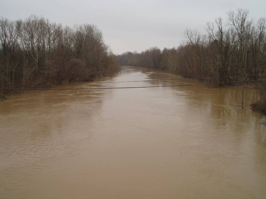
Coldwater River
- Boat Ramps
- 3
- Access Points
- 3
- Campsites
- 8
The Coldwater River is a scenic waterway located in northwest Mississippi, flowing generally southward through DeSoto and Tate counties before joining the Tallahatchie River. This river system is part of the larger Yazoo River watershed, which ultimately drains into the Mississippi River. Paddling opportunities on the Coldwater River offer a mix of flatwater experiences suitable for beginners to intermediate paddlers. The river features several distinct sections, including the upper reaches near Arkabutla Lake and the more developed DeSoto County Blueway section. Most paddling routes range from 5-7 miles in length, allowing for enjoyable day trips.
The river's difficulty is generally classified as flatwater, with a gentle current and minimal obstacles. However, paddlers should be prepared for occasional drag spots and be comfortable with basic river navigation skills. The Coldwater River is best paddled during the warmer months from late spring through early fall when water levels are typically favorable.
Flora along the Coldwater River includes a mix of hardwood forests and riverside vegetation, providing ample shade for much of the journey. Wildlife sightings may include various bird species, turtles, and fish. The river is known for its fishing opportunities, particularly for species like crappie.
Key landmarks include the Highway 51 bridge, which serves as both a put-in and take-out point for several paddling sections. Arkabutla Lake and Dam, managed by the U.S. Army Corps of Engineers, is another significant feature influencing the river's flow and recreational opportunities. Primary access points include the Highway 51 launch area, Coldwater Point, and various locations along the DeSoto County Blueway section. Nearby towns include Hernando and Coldwater, which can serve as bases for river excursions.
The Coldwater River holds cultural significance as part of DeSoto County's efforts to promote outdoor recreation and conservation. The establishment of the Coldwater Canoe and Kayak Trail has increased public interest in the river as a recreational resource.
Safety considerations include being aware of water levels, particularly in relation to Arkabutla Lake's management. Paddlers should also be cautious of occasional logjams and submerged obstacles. It's advisable to check current conditions and any local regulations before embarking on a trip. While primarily suited for day trips, the development of the DeSoto County Blueway may offer potential for future multi-day paddling adventures as more access points and facilities are established along the river.
Water access, boat ramps & amenities
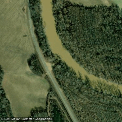
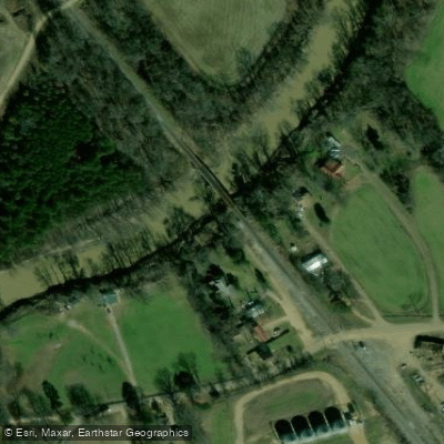
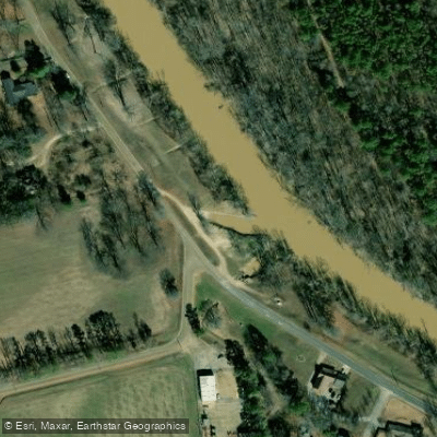
Learn how to get on Coldwater River. Uncover great paddling access points, boat ramps, and all the facilities you need for an unforgettable day on the water. Some locations shown may border or include private property. Always check property boundaries and applicable regulations before visiting. PaddleWays's Public & Private Land layer can help you plan your access with confidence.
Paddle smarter with real-time insights
Whether you're en route and conditions shift or you're looking for the best spot based on current flows, we enable you to make informed decisions on the fly.








Find Places to Paddle

Over 400,000 Places to Paddle
Every user gets free access to launch points, boat ramps, and public property parcels.


Water and weather conditions (10 day forecast)
See the best times to paddle Coldwater River and check the forecast before you go.
COLDWATER RIVER NR LEWISBURG, MS
All Flow Stations
Paddling near Coldwater River
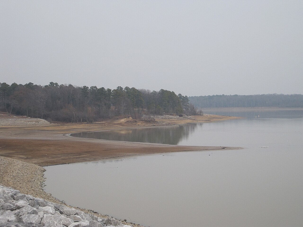
Arkabutla Lake

Mississippi River
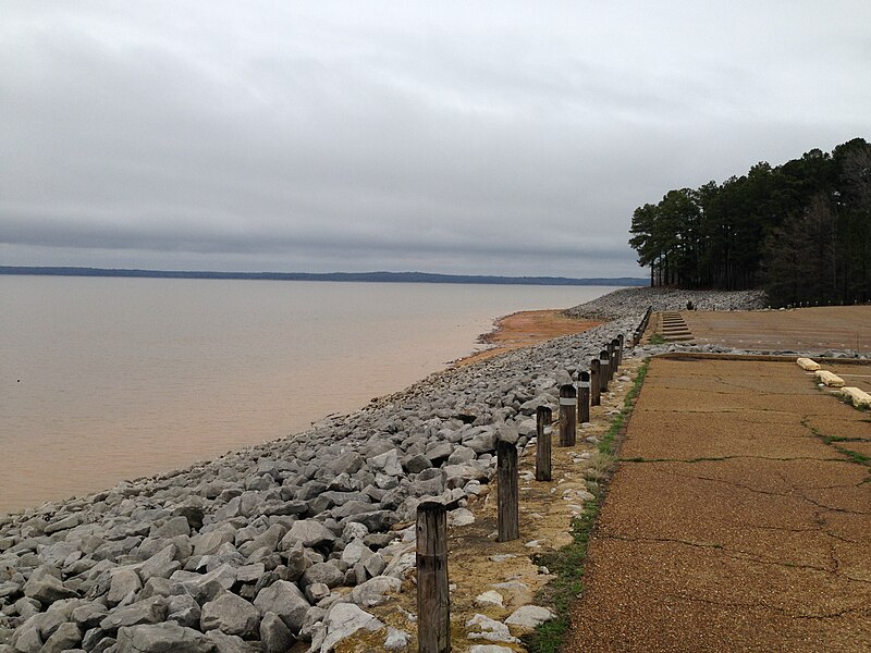
Sardis Lake
Little Tallahatchie River
Horseshoe Lake
Thunderbird Lake
Tunica Lake
Saint Francis River
Lower Lake
Explore Mississippi waters
Top paddling waters
Popular Cities
Loading popular cities...
Explore near Coldwater River
Access points
Nearby waters
More in Mississippi

Smarter Paddling Starts in the App.
Paddleways gives you everything you need to plan smarter, paddle better, and own every trip from first launch to takeout.