Chewalla Lake
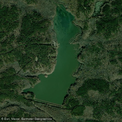
Chewalla Lake
- Boat Ramps
- 1
- Access Points
- 1
- Campsites
- 2
Chewalla Lake is a 260-acre no-wake lake in northern Mississippi's Holly Springs National Forest. The lake features a boat ramp and mooring dock, making it accessible for canoes and kayaks. Created in 1966 by damming Chewalla Creek, the lake is also fed by underground springs.
The lake's shoreline is surrounded by dense pine and hardwood forest, including sweet gum and oak trees. In spring, blooming dogwoods add color to the landscape. A unique feature is a footbridge leading to a small island near the western shoreline, which offers an interesting destination for paddlers. An ancient Indian mound, commemorating the lake's Native American heritage (the name "Chewalla" derives from a Native American word for "Supreme Being"), is located along the shore.
Facilities include a swimming beach, accessible fishing pier, and restrooms with flush toilets. A four-mile trail encircles the lake, providing opportunities to spot wildlife from the water. The lake supports populations of largemouth bass, bream, crappie, and catfish.
The relatively small size and no-wake restrictions make Chewalla Lake particularly suitable for paddling. The lake's shallow, serene character creates ideal conditions for canoeing and kayaking, though paddlers should be aware of submerged brush structures that were installed to improve fish habitat.
Day use fees apply ($5 per vehicle). The recreation area is typically open from 6 AM to 10 PM. The lake is managed by the U.S. Forest Service through the Holly Springs Ranger District. Paddlers have access to drinking water and picnic facilities near the launch area.
The lake environment includes marsh areas that attract waterfowl, and visitors may occasionally spot deer along the shoreline. Deep gullies, remnants of the area's farming history, are visible from the water, with split-rail fences lining these erosion features.
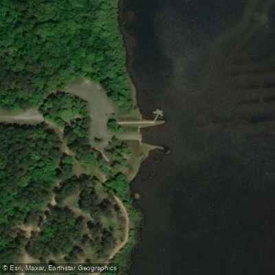
Water access, boat ramps & amenities
Learn how to get on Chewalla Lake. Uncover great paddling access points, boat ramps, and all the facilities you need for an unforgettable day on the water. Some locations shown may border or include private property. Always check property boundaries and applicable regulations before visiting. PaddleWays's Public & Private Land layer can help you plan your access with confidence.
Paddle smarter with real-time insights
Whether you're en route and conditions shift or you're looking for the best spot based on current flows, we enable you to make informed decisions on the fly.








Find Places to Paddle

Over 400,000 Places to Paddle
Every user gets free access to launch points, boat ramps, and public property parcels.


Water and weather conditions (10 day forecast)
See the best times to paddle Chewalla Lake and check the forecast before you go.
No forecast data available.
Paddling near Chewalla Lake
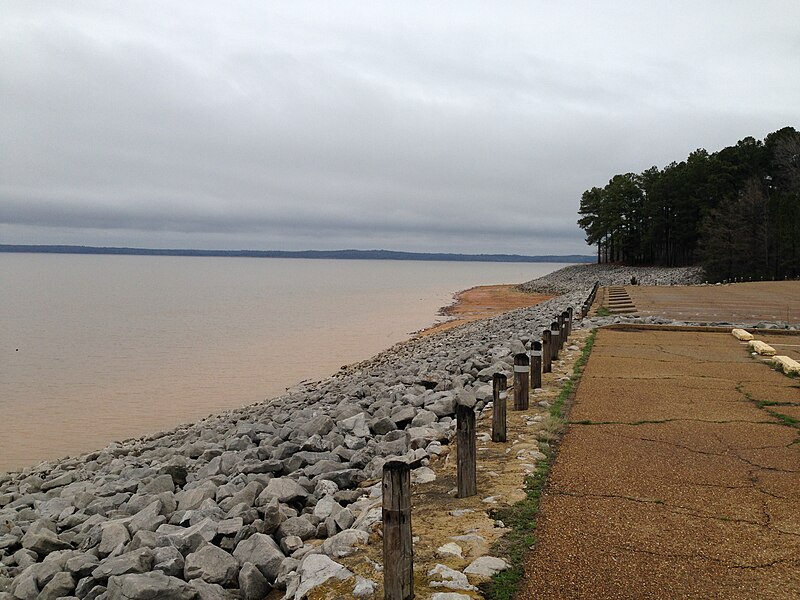
Sardis Lake
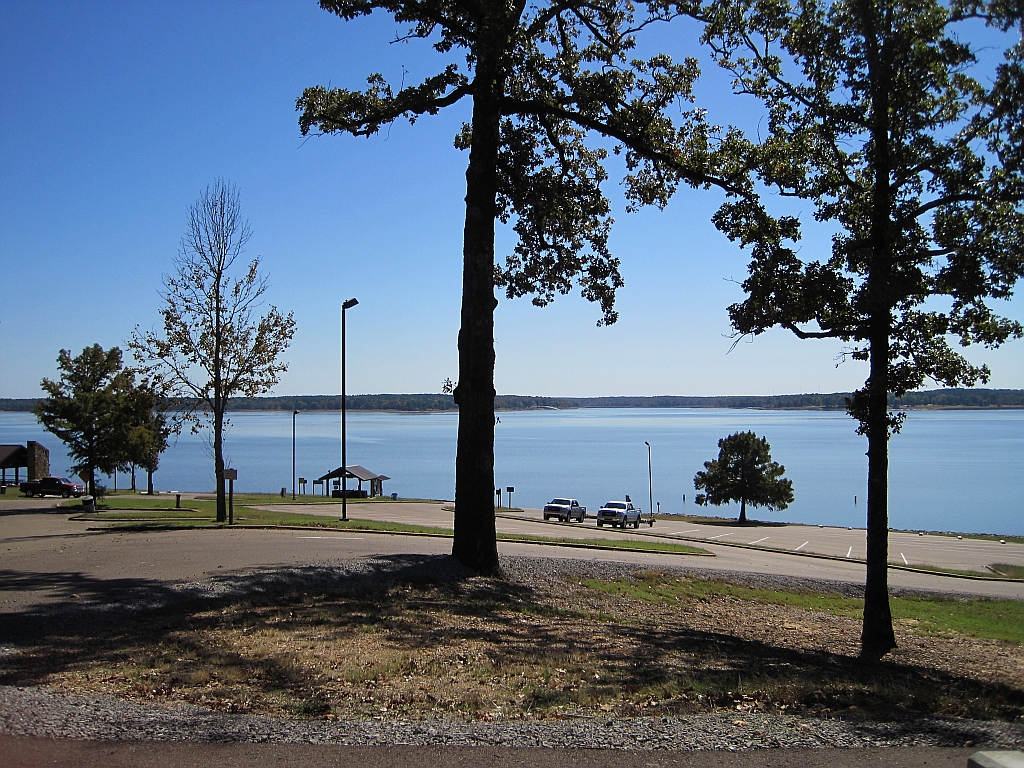
Enid Lake
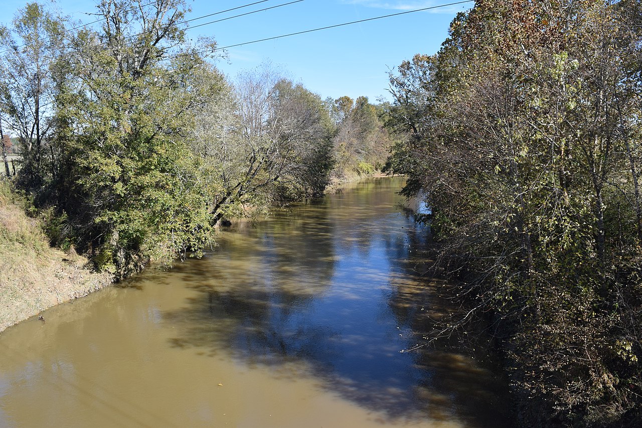
Yocona River
Little Tallahatchie River
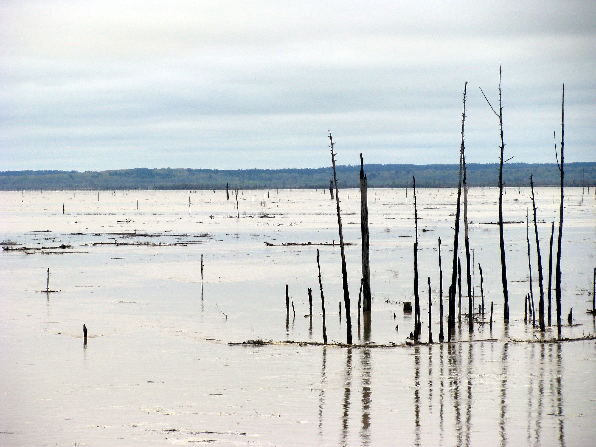
Grenada Lake
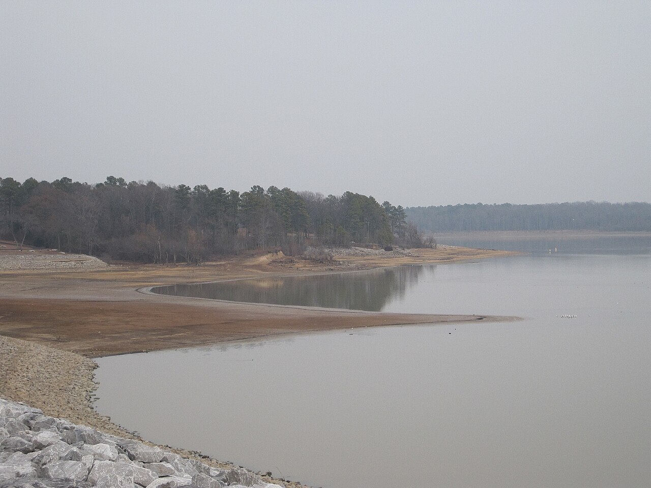
Arkabutla Lake
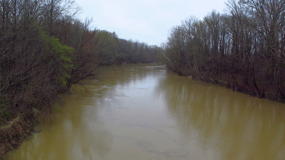
Yalobusha River
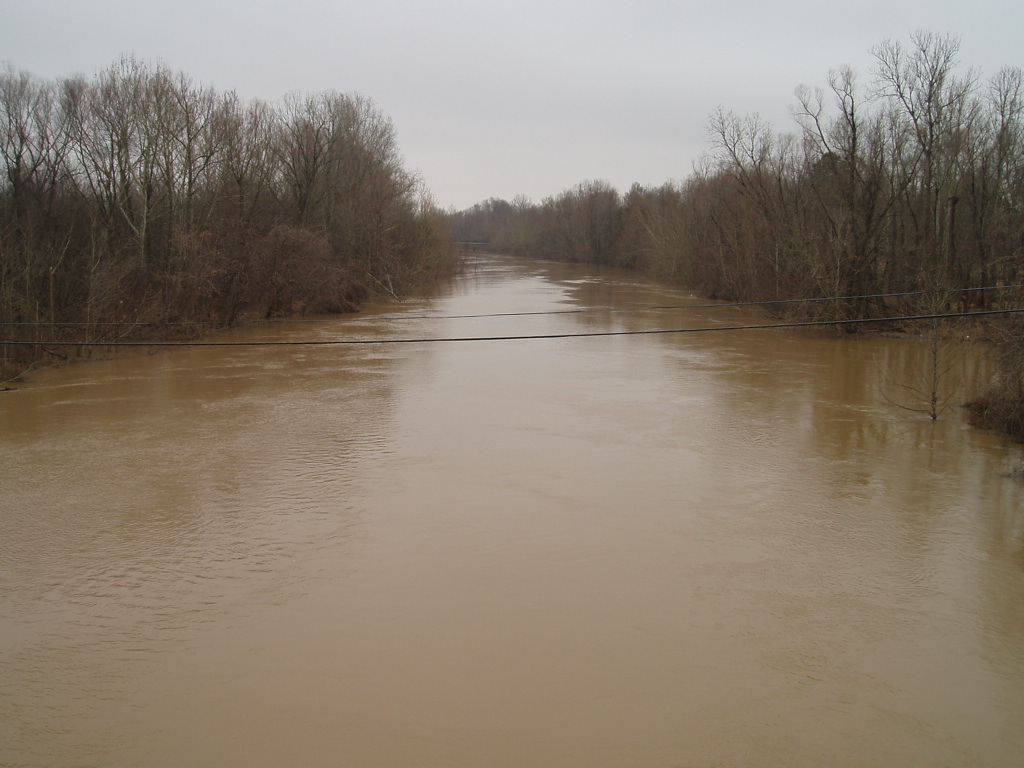
Coldwater River
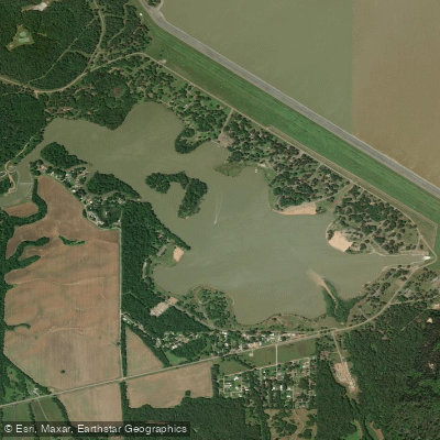
Lower Lake
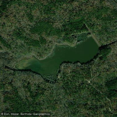
Puskus Lake
Explore Mississippi waters
Top paddling waters
Popular Cities
Loading popular cities...
Explore near Chewalla Lake
Access points
Nearby waters
More in Mississippi

Smarter Paddling Starts in the App.
Paddleways gives you everything you need to plan smarter, paddle better, and own every trip from first launch to takeout.