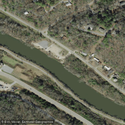
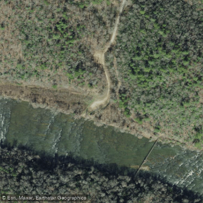
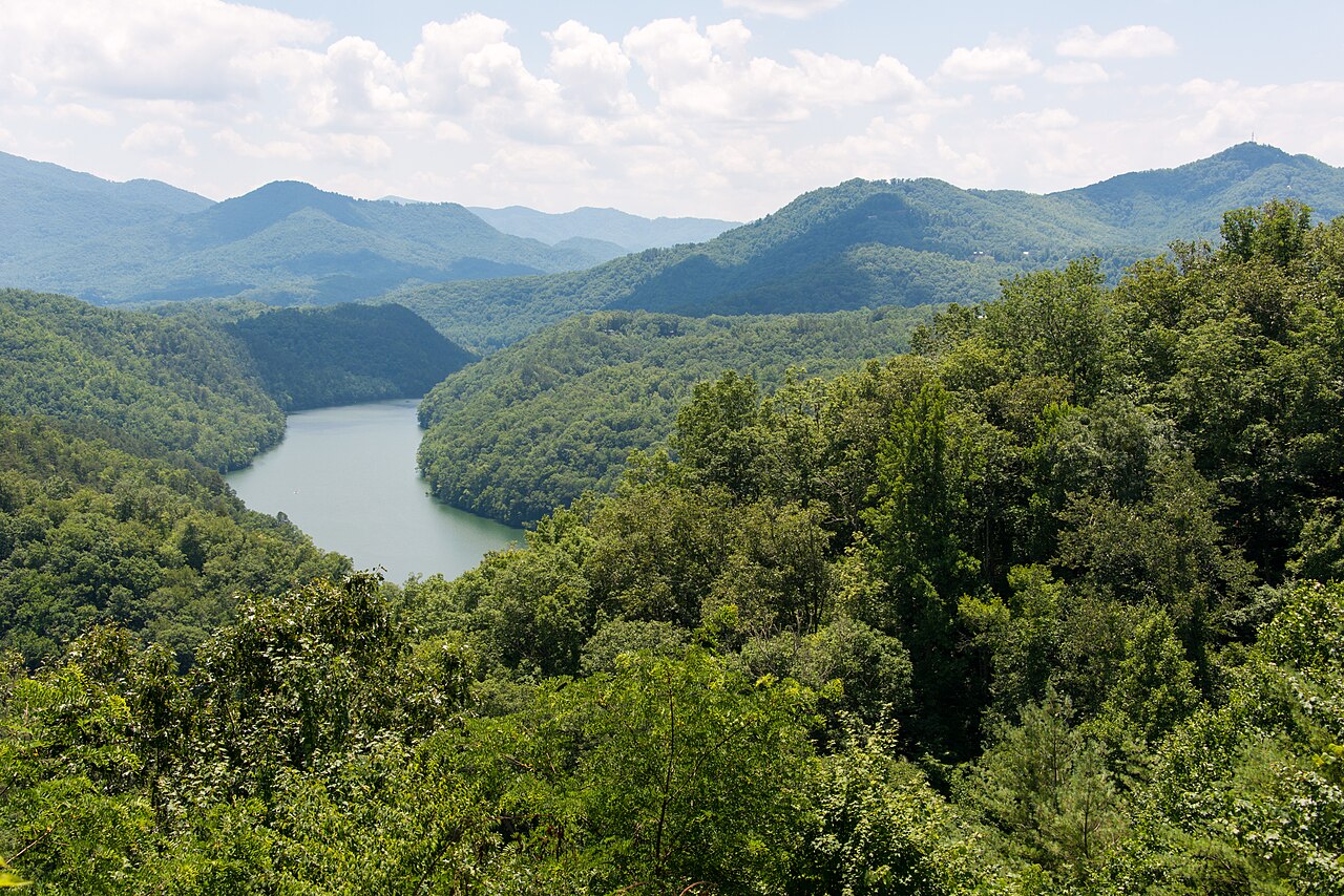
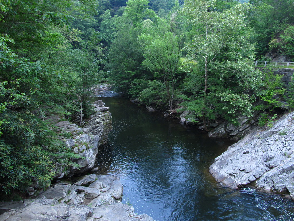
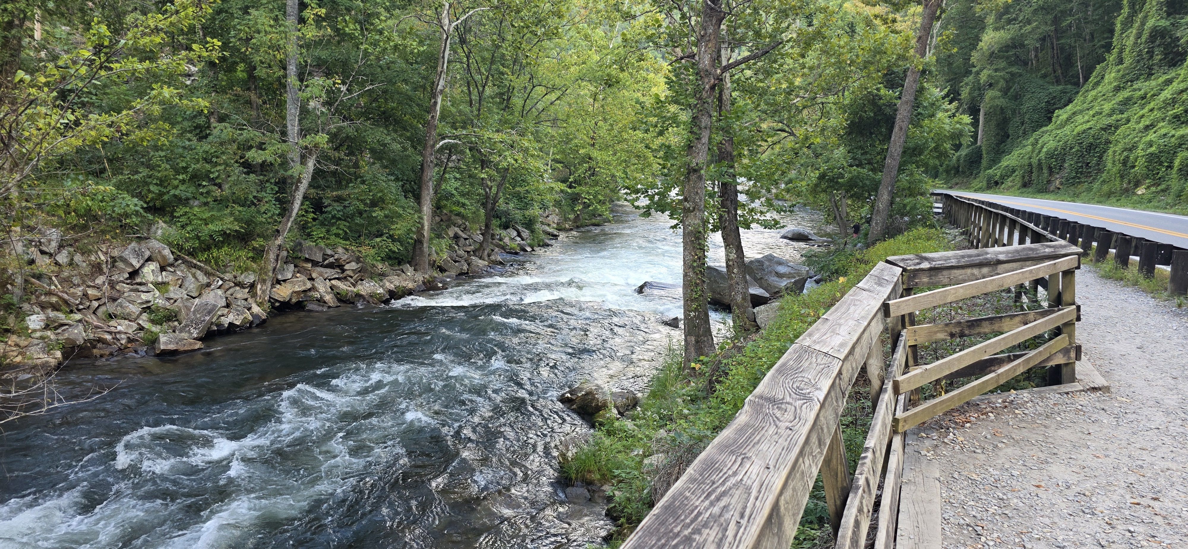
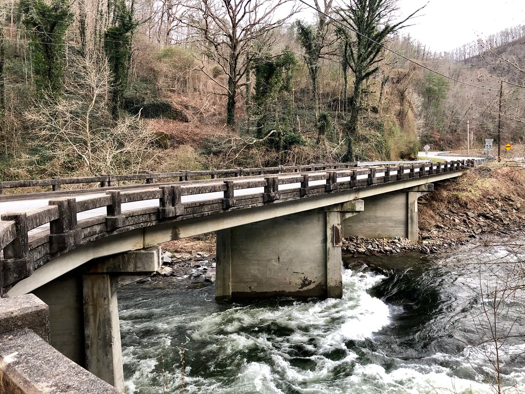
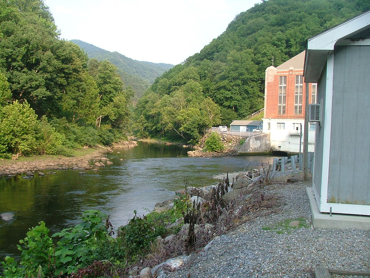
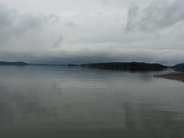
The Little Tennessee River is a scenic waterway that originates in northeast Georgia and flows northward through western North Carolina before entering Tennessee. This 135-mile long river is a major tributary of the Tennessee River, joining it near Knoxville. The river's watershed encompasses parts of the southern Appalachian Mountains and Cherokee National Forest. Paddlers can enjoy a variety of experiences on the Little Tennessee, from calm flatwater sections to more challenging whitewater.
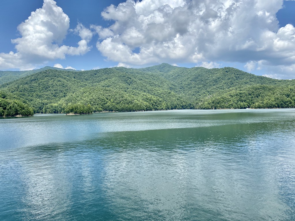
The river is divided into several notable paddling sections: 1. NC Route 28 to US Route 19 (22.5 miles): This popular stretch offers Class I-III rapids suitable for intermediate paddlers. 2. Iotla Bridge to Needmore Road (22.5 miles): Known for excellent smallmouth bass fishing and scenic views. 3. Needmore Road to Fontana Lake (10 miles): Features increasing rapids as you approach the lake, with Class II-III difficulty. 4. Fontana Lake: The river's flow is interrupted by this large reservoir, offering flatwater paddling opportunities. 5. Below Fontana Dam: The lower sections in Tennessee, including Tellico Lake, provide calm waters ideal for flatwater paddling and fishing.
The overall difficulty ranges from flatwater to Class III rapids, making it suitable for beginners to intermediate paddlers depending on the section. The best paddling season is typically January to April when water levels are most favorable.
The Little Tennessee River is renowned for its biodiversity, hosting over 100 species of native fish, 10 species of native mussels, and various crayfish species. The river corridor is home to diverse flora, including hardwood forests and riparian vegetation.
Key landmarks include the historic Needmore Swinging Bridge, Fontana Dam, and the confluence with the Tuckasegee River. Major access points are found near Franklin, Bryson City, and Vonore, with numerous put-in and take-out locations along its course.
Historically, the river was central to Cherokee culture, with many significant archaeological sites along its banks. Today, it remains an important cultural and recreational resource for the region.
Paddlers should be aware of changing water levels, especially near dams, and always check flow rates before embarking. Multi-day trips are possible, particularly in the upper sections, but campsites are limited and should be planned in advance.
The Little Tennessee River offers a rich paddling experience, combining natural beauty, diverse wildlife, and a range of paddling challenges, making it a premier destination for river enthusiasts in the southern Appalachians.