Nantahala River
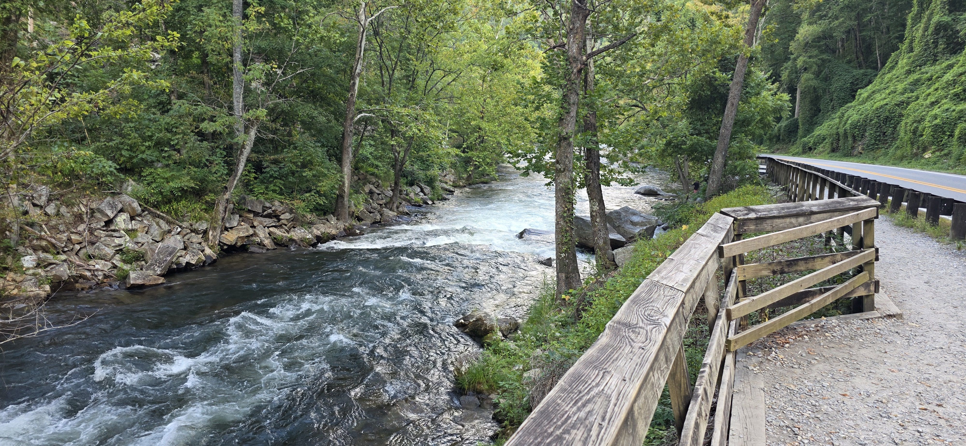
Nantahala River
- Boat Ramps
- 6
- Access Points
- 26
- Campsites
- 17
The Nantahala River, located in western North Carolina, is one of the most popular whitewater destinations in the southeastern United States. Flowing through the scenic Nantahala Gorge in the Nantahala National Forest, this river offers a diverse range of paddling experiences suitable for various skill levels.
The river is divided into several distinct sections, each with its own character. The most popular run is the 8.5-mile Nantahala Gorge section, also known as the Lower Nantahala. This stretch features reliable Class II-III rapids, making it ideal for beginner to intermediate paddlers and commercial rafting trips. Notable rapids include Patton's Run, Whirlpool, Quarry Rapid, and Ledges, with the highlight being the Class III Nantahala Falls at the end.
For more experienced paddlers, the Upper Nantahala offers a challenging 3.2-mile stretch of Class III+(IV) whitewater. The most difficult section is the Nantahala Cascades, a short but intense 0.7-mile run with Class IV-V rapids, suitable only for expert kayakers.
The Nantahala is unique in that it offers year-round paddling opportunities due to regular dam releases. The best times to paddle are typically from spring through fall, with summer being the peak season. Water temperatures remain cold year-round, so proper gear is essential.
The river corridor is rich in biodiversity, with lush forests lining the banks. Wildlife sightings may include deer, black bears, and various bird species. The Cherokee named this area "Nantahala," meaning "Land of the Noon-day Sun," due to the steep gorge walls that only allow direct sunlight at midday.
Access to the river is excellent, with numerous put-in and take-out points along US Highway 19/74. The Nantahala Outdoor Center (NOC), located at the end of the Gorge section, serves as a major hub for paddlers, offering amenities, gear rentals, and instruction.
Safety is paramount on the Nantahala. All paddlers are required to wear personal flotation devices, and it's advisable to check water levels and weather conditions before embarking on a trip. Commercial outfitters operate on the river, providing guided trips for those new to whitewater.
For those seeking a multi-day adventure, it's possible to combine the Nantahala Gorge section with the milder 12.74-mile stretch from Highway 64 to Nantahala Lake, creating a longer journey through the beautiful mountain landscape.
The Nantahala River's accessibility, consistent water levels, and range of difficulty have made it a cornerstone of whitewater recreation in the Southeast. Whether you're a first-time rafter or an experienced kayaker, the Nantahala offers an unforgettable paddling experience in the heart of the Appalachian Mountains.
Water access, boat ramps & amenities
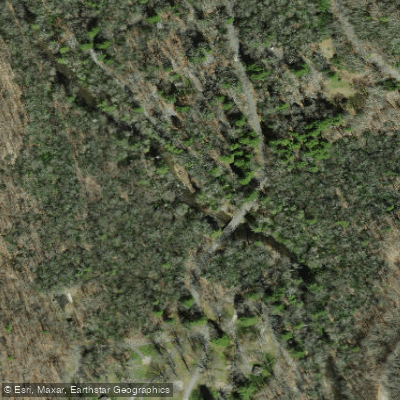
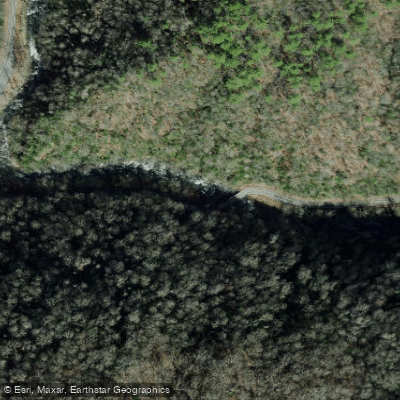
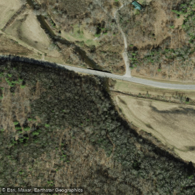
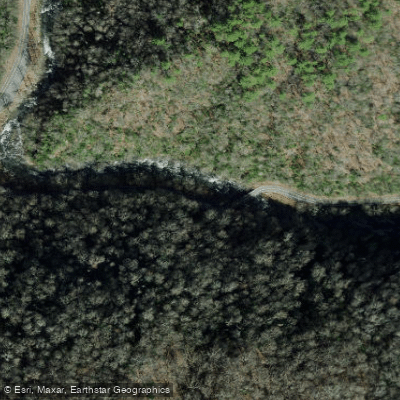
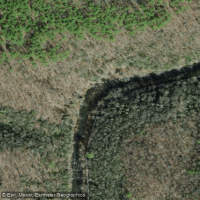
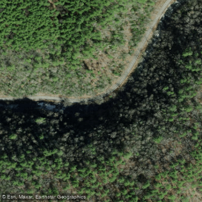
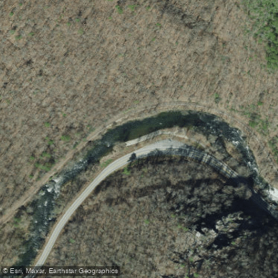
Learn how to get on Nantahala River. Uncover great paddling access points, boat ramps, and all the facilities you need for an unforgettable day on the water. Some locations shown may border or include private property. Always check property boundaries and applicable regulations before visiting. PaddleWays's Public & Private Land layer can help you plan your access with confidence.
Paddle smarter with real-time insights
Whether you're en route and conditions shift or you're looking for the best spot based on current flows, we enable you to make informed decisions on the fly.








Find Places to Paddle

Over 400,000 Places to Paddle
Every user gets free access to launch points, boat ramps, and public property parcels.


Water and weather conditions (10 day forecast)
See the best times to paddle Nantahala River and check the forecast before you go.
NANTAHALA RIVER NEAR HEWITT, NC
All Flow Stations
Paddling near Nantahala River
Tuckasegee River

Little Tennessee River
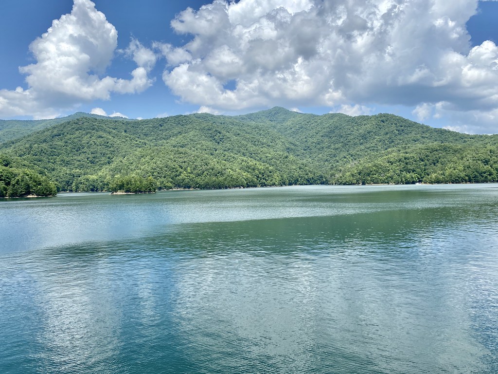
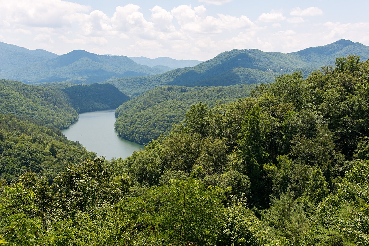
Fontana Lake
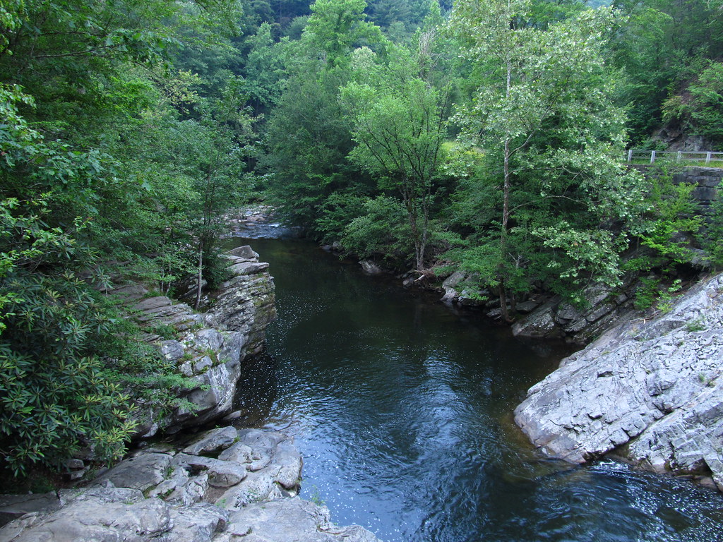
Little River
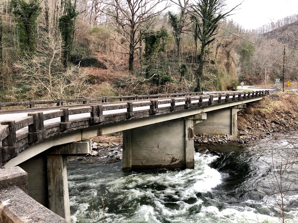
Cheoah River
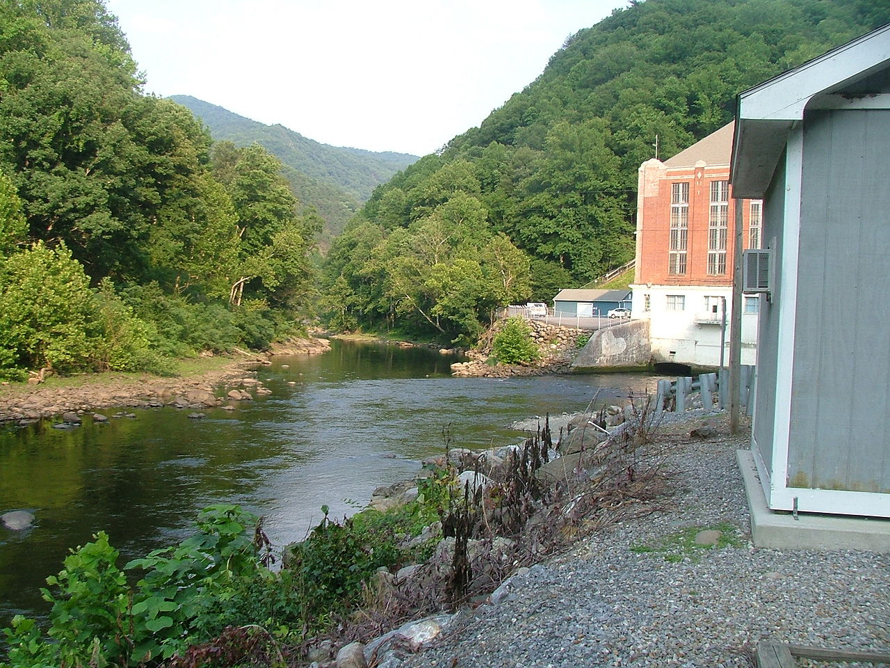
Pigeon River

French Broad River

Tennessee River
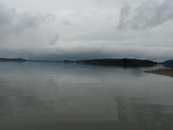
Douglas Lake
Explore North Carolina waters
Top paddling waters
Popular Cities
Loading popular cities...
Explore near Nantahala River
Access points
Nearby waters
More in North Carolina

Smarter Paddling Starts in the App.
Paddleways gives you everything you need to plan smarter, paddle better, and own every trip from first launch to takeout.