Curated by PaddleWays
RouteFlatwater
- Distance
- 5.5 mi
- Paddle time
- ~2 hrs
- Put-in → take-out
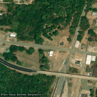
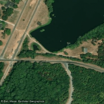
- Bland Lake Access → West Columbia Street Access
Bacteria exceed state water quality standards
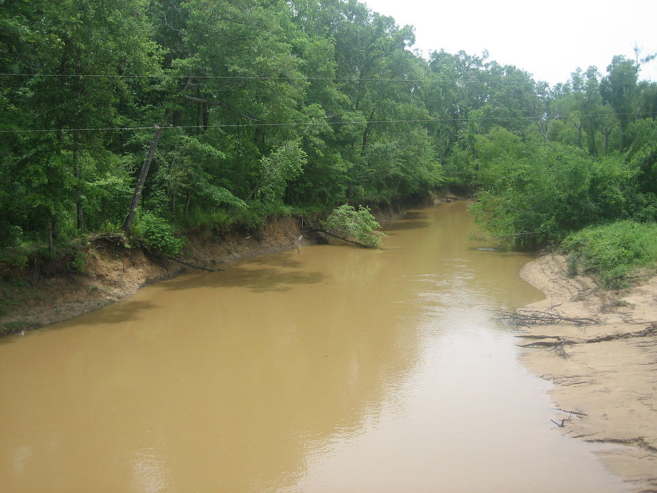
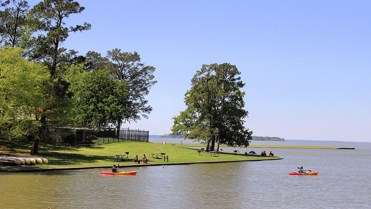
The Ayish Bayou is a scenic 32-mile waterway in East Texas, originating about 7 miles north of San Augustine in northern San Augustine County. It flows southward through the city of San Augustine before eventually emptying into Sam Rayburn Reservoir. The bayou is part of the Neches River basin and runs through the Angelina National Forest.
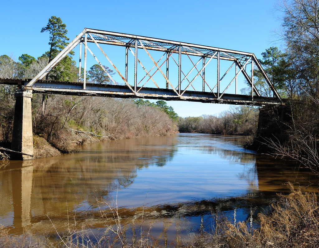
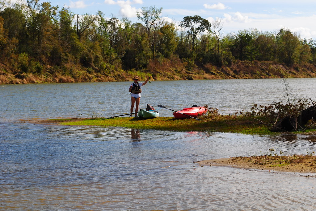
Paddling opportunities on Ayish Bayou range from short day trips to the full 32-mile run. The upper section from near the Shelby County line to San Augustine offers a 7-mile stretch through scenic East Texas landscape. A popular 25-mile section runs from San Augustine to the confluence with Sam Rayburn Reservoir. For a shorter trip, paddlers can put in at the Highway 83 bridge and take out at the Ayish Bayou Bridge, covering about 5 miles.
The bayou is primarily flatwater to Class I, making it suitable for paddlers of various skill levels. However, paddlers should be aware of potential obstacles like fallen trees and be comfortable with basic river navigation. Spring and fall offer the best paddling conditions, with moderate temperatures and potentially higher water levels. Summer can be hot and humid, while winter may have low water levels.
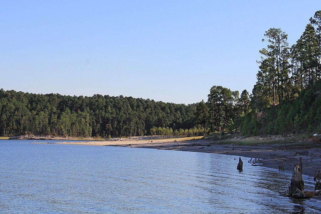
The ecosystem along Ayish Bayou is diverse, featuring cypress knees, various bird species, and small mammals. Anglers often target areas around cypress trees for fishing. Key landmarks include the city of San Augustine, the Highway 83 bridge, and the confluence with Sam Rayburn Reservoir. The bayou flows through the Angelina National Forest, providing opportunities to observe wildlife and lush vegetation.
Primary access points include put-ins north of San Augustine, near the city itself, at the Highway 83 bridge, and the Ayish Bayou Ramp on FM 83 about 7 miles west of Pineland. The take-out at Sam Rayburn Reservoir marks the bayou's end.
Historically, the Ayish Bayou was likely used by Native American tribes and early settlers in the region. Today, it serves as an important recreational resource for the area. Safety considerations include being aware of water quality issues, as portions of Ayish Bayou are currently listed as impaired for bacteria levels. Paddlers should check current conditions and water levels before embarking on a trip.
While multi-day trips are possible on the full 32-mile run, most paddlers opt for day trips due to the bayou's relatively short length. Those planning longer excursions should be prepared for primitive camping along the banks.
Curated routes
Hand-picked by the PaddleWays team, with put-ins, take-outs, paddle times and the hazards along the way.
RouteFlatwater
RouteFlatwater
Hazards
No paddler has reported a hazard here yet, so these are the dams, falls and big rapids on our map. Hazards change with flows and storms, so check them before you launch.
From the community
Nobody has shared a trip on Ayish Bayou yet. Paddle it, then tell the next paddler how it went.
See exactly where the public can get on and off the river. Launch points and boat ramps are paired with PaddleWays' public land data so you know where you can legally land.
Public shoreline
42%of the river's shoreline is public
Most of the riverbank is private. Launch, land and camp only at public access points.
Flows, weather and a route-by-route verdict, so you know which stretch of the Ayish Bayou is worth paddling today.
Live flows, marked hazards and fresh trip reports from paddlers who were just on the water, all in one place.





Every user gets free access to launch points, boat ramps, and public property parcels.
Loading popular cities...
PaddleWays gives you everything you need to plan smarter, paddle better, and own every trip from first launch to takeout.