Bessie Heights Canal
- Saltwater
- Sea area
Bessie Heights Canal
- Saltwater
- Sea area
- Sq. miles
- 0
- Boat Ramps
- 0
- Access Points
- 0
- Campsites
- 0
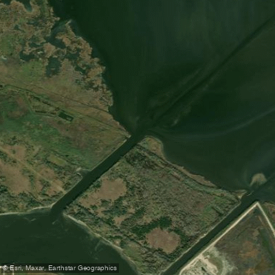
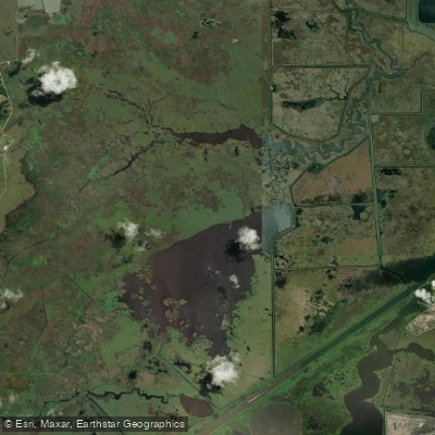
The Bessie Heights Canal is a coastal canal adjacent to Port Neches, Texas, within the tidal and industrial zone of the Lower Neches River system near Sabine Lake. Its waters are defined by a regulated area between a northern boundary at approximately 30°00′00″ N and a southern boundary, indicating its use is subject to specific Coast Guard regulations. The canal drains the Bessie Heights Marsh area, which has been the focus of significant wetland restoration projects, including terracing completed in 2002 to restore emergent marsh habitat. This creates a paddling environment characterized by a blend of industrial infrastructure and ecologically rich marshlands. The area is ecologically rich with waterfowl and wildlife, offering paddlers views of restored marsh terraces and open water habitats within the Nelda Stark Unit of the Lower Neches Wildlife Management Area. The canal's physical structure includes a series of dredge material mounds and swales from past industrial activity. Paddlers should be acutely aware of major commercial navigation in the adjacent Neches River Ship Channel, as the canal is situated in a heavily developed industrial and navigational corridor. The presence of a defined regulated area suggests potential restrictions or special events that could impact access, so checking current Coast Guard notices is essential. There are no specific public launch areas or facilities for paddlers within the canal itself, and planning must account for significant commercial boat traffic, exposure to wind and fetch across open water and marsh, and the powerful tidal currents typical of this coastal region. Water quality data is monitored at a site designated "BESSIE HEIGHTS CANAL-NECHES R."
Water access, boat ramps & amenities
Learn how to get on Bessie Heights Canal. Uncover great paddling access points, boat ramps, and all the facilities you need for an unforgettable day on the water. Some locations shown may border or include private property. Always check property boundaries and applicable regulations before visiting. PaddleWays's Public & Private Land layer can help you plan your access with confidence.
Paddle smarter with real-time insights
Whether you're en route and conditions shift or you're looking for the best spot based on current flows, we enable you to make informed decisions on the fly.








Find Places to Paddle

Over 400,000 Places to Paddle
Every user gets free access to launch points, boat ramps, and public property parcels.


Tides, wind & water conditions (10 day forecast)
On open water, wind and tide matter as much as the weather. See the best times to paddle Bessie Heights Canal and check the marine forecast before you launch.
Loading tide predictions…
Paddling near Bessie Heights Canal
Neches River
Sabine River
Sabine Pass
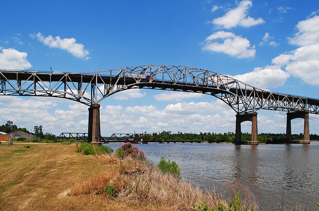
Calcasieu River

Trinity River
Old River Cove
Clam Lake
Five Lakes
Shallow Prong Lake
Explore Texas waters
Top paddling waters
Popular Cities
Loading popular cities...
Explore near Bessie Heights Canal

Smarter Paddling Starts in the App.
Paddleways gives you everything you need to plan smarter, paddle better, and own every trip from first launch to takeout.