Cedar Creek Reservoir
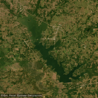
Cedar Creek Reservoir
- Boat Ramps
- 20
- Access Points
- 20
- Campsites
- 0
Cedar Creek Reservoir, located about 75 miles southeast of Dallas, is Texas' fourth largest lake with 32,623 acres of surface area and 300 miles of shoreline. The lake offers diverse paddling experiences, with clearer water in the southern end and muddier conditions in the north. Numerous coves, particularly on the east side, provide sheltered areas for paddling away from boat traffic.
Access is available via two public boat ramps and several private marinas. Some private ramps may be difficult to use during low water conditions. Lone Star Marina offers boat and water toy rentals for those without their own equipment.
The lake's fish population includes largemouth bass (lake record 14.65 pounds), catfish, and hybrid striped bass. Anglers often follow birds to locate schools of white bass and hybrids. Submerged vegetation in cove backs and emergent vegetation in the shallower upper end provide habitat for various species.
Cedar Creek Reservoir is heavily developed, with numerous large homes lining the shores. This creates an interesting backdrop for paddlers but may limit natural scenery in some areas. The lake does not have any known public day-use parks, so paddlers should plan accordingly for breaks and picnics.
Water clarity varies, with the southern end being moderately clear and the northern portion typically muddier. Normal lake fluctuation is around 4 feet. Summer water temperatures can reach the high 80s Fahrenheit.
Paddlers should be aware that Cedar Creek can experience rough conditions on weekends due to heavy boat traffic and wind. However, the numerous coves offer protection and calmer waters. No specific paddling restrictions were noted, but standard boating regulations likely apply.
For those interested in wildlife, the lake supports various fish species and likely attracts waterfowl and other animals typical of Texas lakes. The mix of developed areas and more natural coves creates diverse habitats to explore.
Water access, boat ramps & amenities
Learn how to get on Cedar Creek Reservoir. Uncover great paddling access points, boat ramps, and all the facilities you need for an unforgettable day on the water. Some locations shown may border or include private property. Always check property boundaries and applicable regulations before visiting. PaddleWays's Public & Private Land layer can help you plan your access with confidence.
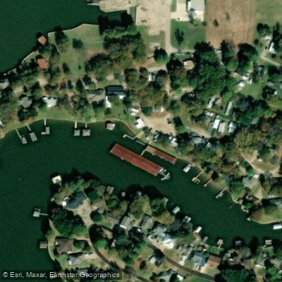
Cedar Creek Reservoir Boat Ramp
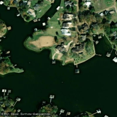
Shady Lane Boat Ramp
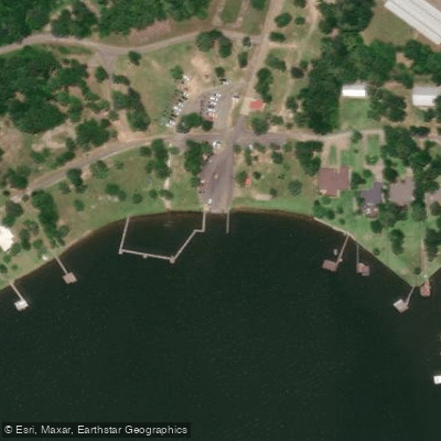
Cedar Creek Reservoir Boat Ramp
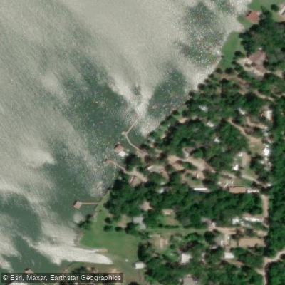
Cedar Creek Reservoir Boat Ramp
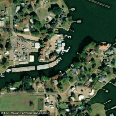
Cedar Creek Boat Ramp
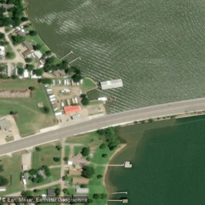
Cedar Creek Reservoir Boat Ramp
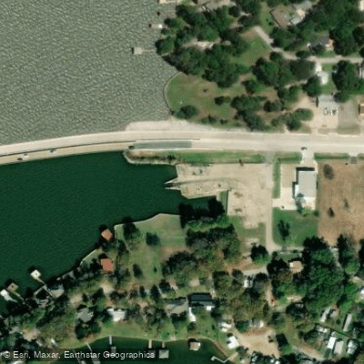
Cedar Creek Reservoir Boat Ramp
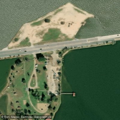
Cedar Creek Reservoir Boat Ramp
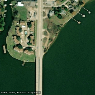
HIghway 198 Bridge Boat Ramp
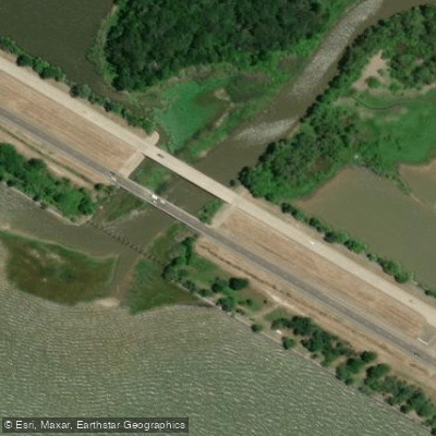
Cedar Creek Boat Ramp
Paddle smarter with real-time insights
Whether you're en route and conditions shift or you're looking for the best spot based on current flows, we enable you to make informed decisions on the fly.








Find Places to Paddle

Over 400,000 Places to Paddle
Every user gets free access to launch points, boat ramps, and public property parcels.


Water and weather conditions (10 day forecast)
See the best times to paddle Cedar Creek Reservoir and check the forecast before you go.
No forecast data available.
Paddling near Cedar Creek Reservoir

Trinity River
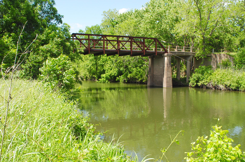
Navasota River
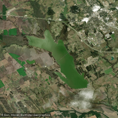
Bardwell Lake
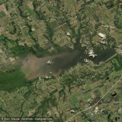
Navarro Mills Lake
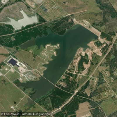
Lake Halbert

Lake Clark
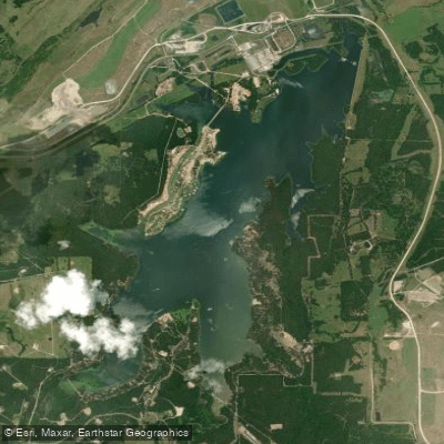
Fairfield Lake
Lake Waxahachie
Lake Limestone
Explore Texas waters
Top paddling waters
Popular Cities
Loading popular cities...
Explore near Cedar Creek Reservoir
Access points
- Cedar Creek Reservoir Boat Ramp
- Shady Lane Boat Ramp
- Cedar Creek Reservoir Boat Ramp
- Cedar Creek Reservoir Boat Ramp
- Cedar Creek Boat Ramp
- Cedar Creek Reservoir Boat Ramp
- Cedar Creek Reservoir Boat Ramp
- Cedar Creek Reservoir Boat Ramp
- HIghway 198 Bridge Boat Ramp
- Cedar Creek Boat Ramp
- Cedar Creek Reservoir Boat Ramp
- Kelso's Lake Boat Ramp
- All 22 spots
Nearby waters
More in Texas

Smarter Paddling Starts in the App.
Paddleways gives you everything you need to plan smarter, paddle better, and own every trip from first launch to takeout.