Lake Halbert
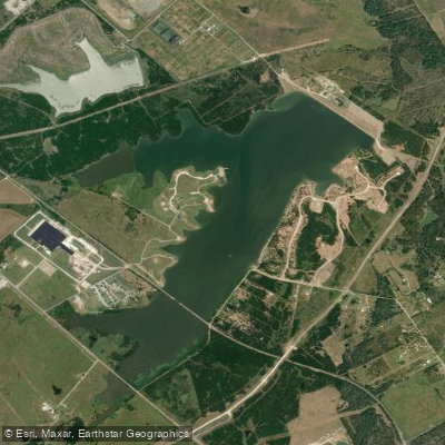
Lake Halbert
- Boat Ramps
- 1
- Access Points
- 1
- Campsites
- 0
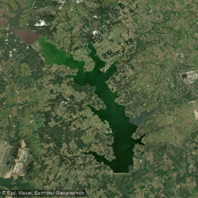
Lake Halbert is a 603-acre reservoir located east of US Highway 287 and 3/4 mile southeast of Corsicana, Texas. Impounded in 1921, this small lake has a maximum depth of 18 feet and serves as a water source for municipal and industrial purposes.
The lake's water is characteristically cloudy to muddy, with limited visibility. This turbidity prevents the growth of submerged vegetation, resulting in scarce cover for aquatic life. The shoreline features light to sparse emergent vegetation, including button bush, cattail, giant bulrush, giant reed, hydrolea, smartweed, and spikerush.
For paddlers, the most notable structures are the riprap along the railroad trestle and pier timbers along the dam. These areas provide the best habitat for fish and may be points of interest during a paddle. The lake experiences a water level fluctuation of 2-3 feet, which paddlers should be aware of when planning trips.
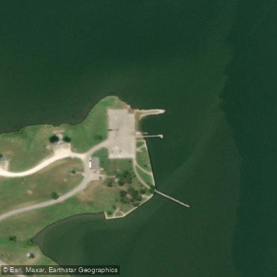
Boat access is adequate, though specific launch points are not detailed. A fishing pier is available, which may serve as a landmark for paddlers. Shoreline access is available in the park along the west bank, potentially offering additional put-in or take-out options.
The lake supports fishing for white crappie and flathead catfish. Paddlers interested in fishing should note that all species are managed under statewide regulations.
The lake's history includes a significant drought in 2005-2006 that reduced its capacity to approximately 28% volume, leading to a temporary closure for recreation. However, water levels have since stabilized.
Paddlers should be aware that the City of Corsicana manages the lake and conducts regular Zebra Mussel inspections at the boat ramp, indicating a potential invasive species concern.
Water access, boat ramps & amenities
Learn how to get on Lake Halbert. Uncover great paddling access points, boat ramps, and all the facilities you need for an unforgettable day on the water. Some locations shown may border or include private property. Always check property boundaries and applicable regulations before visiting. PaddleWays's Public & Private Land layer can help you plan your access with confidence.
Paddle smarter with real-time insights
Whether you're en route and conditions shift or you're looking for the best spot based on current flows, we enable you to make informed decisions on the fly.








Find Places to Paddle

Over 400,000 Places to Paddle
Every user gets free access to launch points, boat ramps, and public property parcels.


Water and weather conditions (10 day forecast)
See the best times to paddle Lake Halbert and check the forecast before you go.
No forecast data available.
Paddling near Lake Halbert

Trinity River
Navasota River
Bardwell Lake
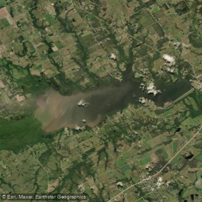
Navarro Mills Lake
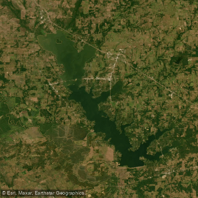
Cedar Creek Reservoir

Lake Clark
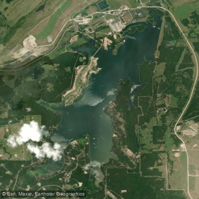
Fairfield Lake
Lake Waxahachie
Lake Limestone
Explore Texas waters
Top paddling waters
Popular Cities
Loading popular cities...
Explore near Lake Halbert

Smarter Paddling Starts in the App.
Paddleways gives you everything you need to plan smarter, paddle better, and own every trip from first launch to takeout.