Navarro Mills Lake
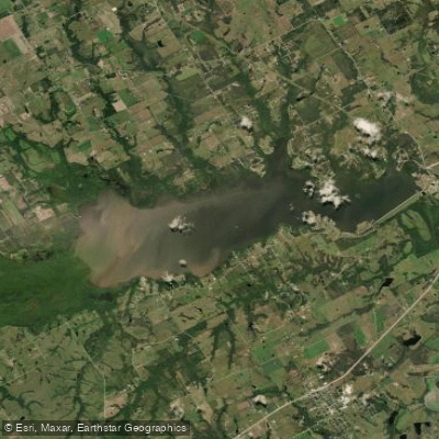
Navarro Mills Lake
- Boat Ramps
- 6
- Access Points
- 6
- Campsites
- 4
Navarro Mills Lake is a 5,070-acre reservoir located in central Texas, north of Highway 31 between Waco and Corsicana. The lake has a maximum depth of 49 feet and experiences about 4 feet of water level fluctuation. The water is typically muddy with low visibility, which paddlers should keep in mind.
Several parks around the lake offer access, including Liberty Hill Park and Oak Park, both of which have boat ramps and beaches. Along the north shore, you'll find patches of pondweed providing some aquatic vegetation cover. The upper end of the lake features abundant inundated timber, though this shallow area can be tricky to navigate during low water periods.
As you paddle, keep an eye out for wildlife. You're likely to spot various bird species like songbirds, hawks, herons, ducks, and geese. Around the shoreline, you might catch glimpses of mammals such as squirrels, rabbits, coyotes, and deer.
Fishing enthusiasts flock to Navarro Mills Lake, particularly for its abundant white crappie and catfish. In fact, the lake holds the state record for white crappie. If you're angling, try targeting the submerged brush piles and fallen timber, especially during spring spawning season.
For paddlers, some parks offer facilities like picnic areas, fish cleaning stations, and campgrounds. If you need to rent a boat or pick up fishing supplies, check out the Navarro Mills Harbour Marina.
While there aren't specific marked paddling routes, the lake's coves and inlets provide plenty of areas to explore. Just be cautious around standing timber or stumps, particularly in shallower areas. Remember, the Corps of Engineers manages the lake, so it's a good idea to check for any regulations or restrictions before you head out on the water.
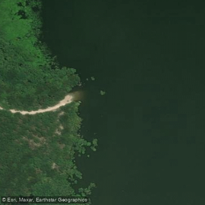
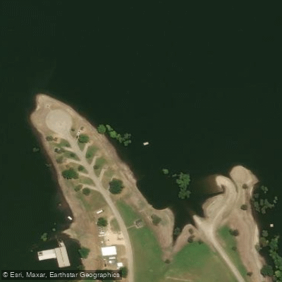
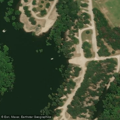
Water access, boat ramps & amenities
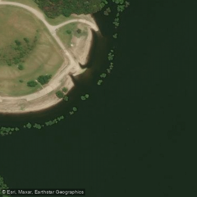
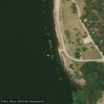
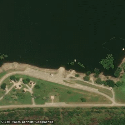
Learn how to get on Navarro Mills Lake. Uncover great paddling access points, boat ramps, and all the facilities you need for an unforgettable day on the water. Some locations shown may border or include private property. Always check property boundaries and applicable regulations before visiting. PaddleWays's Public & Private Land layer can help you plan your access with confidence.
Paddle smarter with real-time insights
Whether you're en route and conditions shift or you're looking for the best spot based on current flows, we enable you to make informed decisions on the fly.








Find Places to Paddle

Over 400,000 Places to Paddle
Every user gets free access to launch points, boat ramps, and public property parcels.


Water and weather conditions (10 day forecast)
See the best times to paddle Navarro Mills Lake and check the forecast before you go.
No forecast data available.
Paddling near Navarro Mills Lake

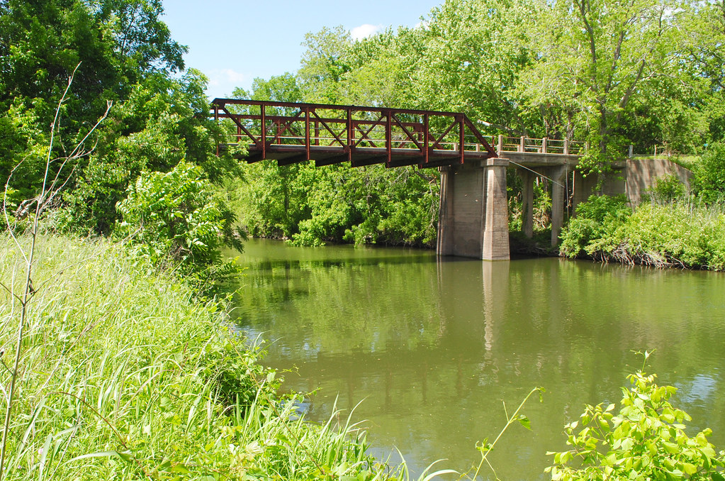
Trinity River
Navasota River
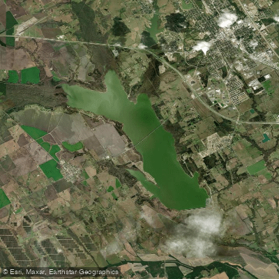
Bardwell Lake
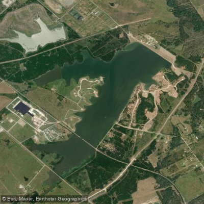
Lake Halbert
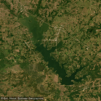
Cedar Creek Reservoir

Lake Clark
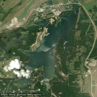
Fairfield Lake
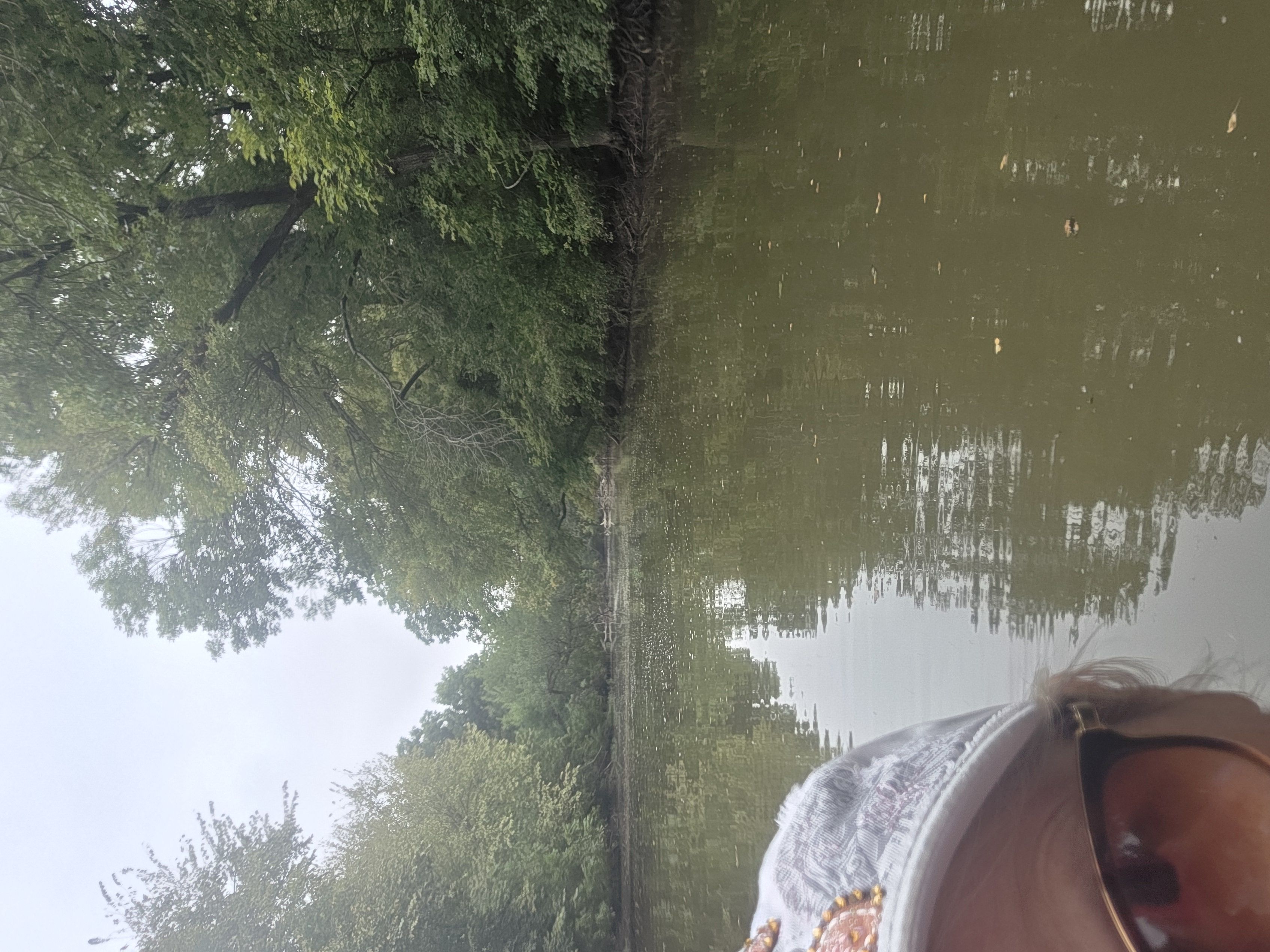
Lake Waxahachie
Lake Limestone
Explore Texas waters
Top paddling waters
Popular Cities
Loading popular cities...
Explore near Navarro Mills Lake
Access points
Nearby waters
More in Texas

Smarter Paddling Starts in the App.
Paddleways gives you everything you need to plan smarter, paddle better, and own every trip from first launch to takeout.