Cowhouse Creek
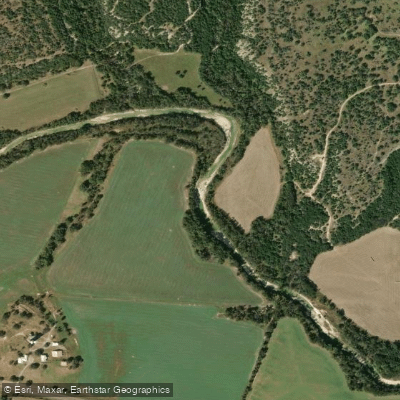
Cowhouse Creek
- Boat Ramps
- 9
- Access Points
- 10
- Campsites
- 2
Cowhouse Creek is a scenic waterway in central Texas, originating west of Priddy in Mills County and flowing southeast for approximately 90 miles through Hamilton, Coryell, and Bell Counties before joining the Leon River. This tributary of the Brazos River watershed meanders through the rugged terrain of the Edwards Plateau, offering paddlers a mix of flatwater and Class II+ whitewater experiences. The creek's most popular paddling section is the 33-mile stretch from Parsley to Pidcoke, classified as Class II+ whitewater. This run provides a blend of easy rapids and occasional more challenging features, making it suitable for intermediate paddlers with some whitewater experience.
The surrounding landscape showcases the natural beauty of central Texas, with limestone bluffs, oak-juniper woodlands, and native grasslands lining the shores. Seasonal rainfall patterns greatly influence Cowhouse Creek's flow, with spring and fall typically offering the most reliable paddling conditions. Flash flooding can occur, particularly after heavy rains, so checking current water levels and weather forecasts is crucial before any trip. Key access points include the put-in at Parsley, Texas, and take-outs near Pidcoke and at the FM 116 bridge. The town of Gatesville serves as the nearest major community, providing amenities for paddlers.
Camping options are available in the vicinity, with Circle T Trail Park and RV in Copperas Cove being a popular choice about 19 miles from the creek. Wildlife enthusiasts may spot white-tailed deer, wild turkeys, and various bird species along the creek. The area's rich ecosystem supports diverse aquatic life, including several fish species native to central Texas waterways.
Paddlers should be aware of potential hazards such as strainers, low-water dams, and barbed wire fences crossing the creek in some areas. The FM 116 bridge near Pidcoke has recently been repaired after flood damage, highlighting the dynamic nature of this waterway. For those seeking a multi-day adventure, the full 33-mile run can be split into shorter segments, with primitive camping available along the banks (with landowner permission). Nearby state parks like Meridian, Mother Neff, and Colorado Bend offer additional outdoor recreation opportunities for extended stays in the region.
Cowhouse Creek's flow through Fort Hood military reservation in its lower reaches adds historical interest, as the waterway has played a role in the area's military history and land use patterns. As with any paddling trip, wearing personal flotation devices is essential, and being prepared for changing weather conditions is advised. Respecting private property along the banks and practicing Leave No Trace principles will help preserve this beautiful Texas waterway for future paddlers to enjoy.
Water access, boat ramps & amenities
Learn how to get on Cowhouse Creek. Uncover great paddling access points, boat ramps, and all the facilities you need for an unforgettable day on the water. Some locations shown may border or include private property. Always check property boundaries and applicable regulations before visiting. PaddleWays's Public & Private Land layer can help you plan your access with confidence.
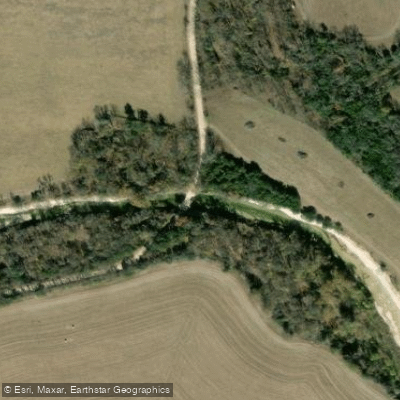
Paddle smarter with real-time insights
Whether you're en route and conditions shift or you're looking for the best spot based on current flows, we enable you to make informed decisions on the fly.








Find Places to Paddle

Over 400,000 Places to Paddle
Every user gets free access to launch points, boat ramps, and public property parcels.


Water and weather conditions (10 day forecast)
See the best times to paddle Cowhouse Creek and check the forecast before you go.
Cowhouse Ck at Pidcoke, TX
All Flow Stations
Paddling near Cowhouse Creek
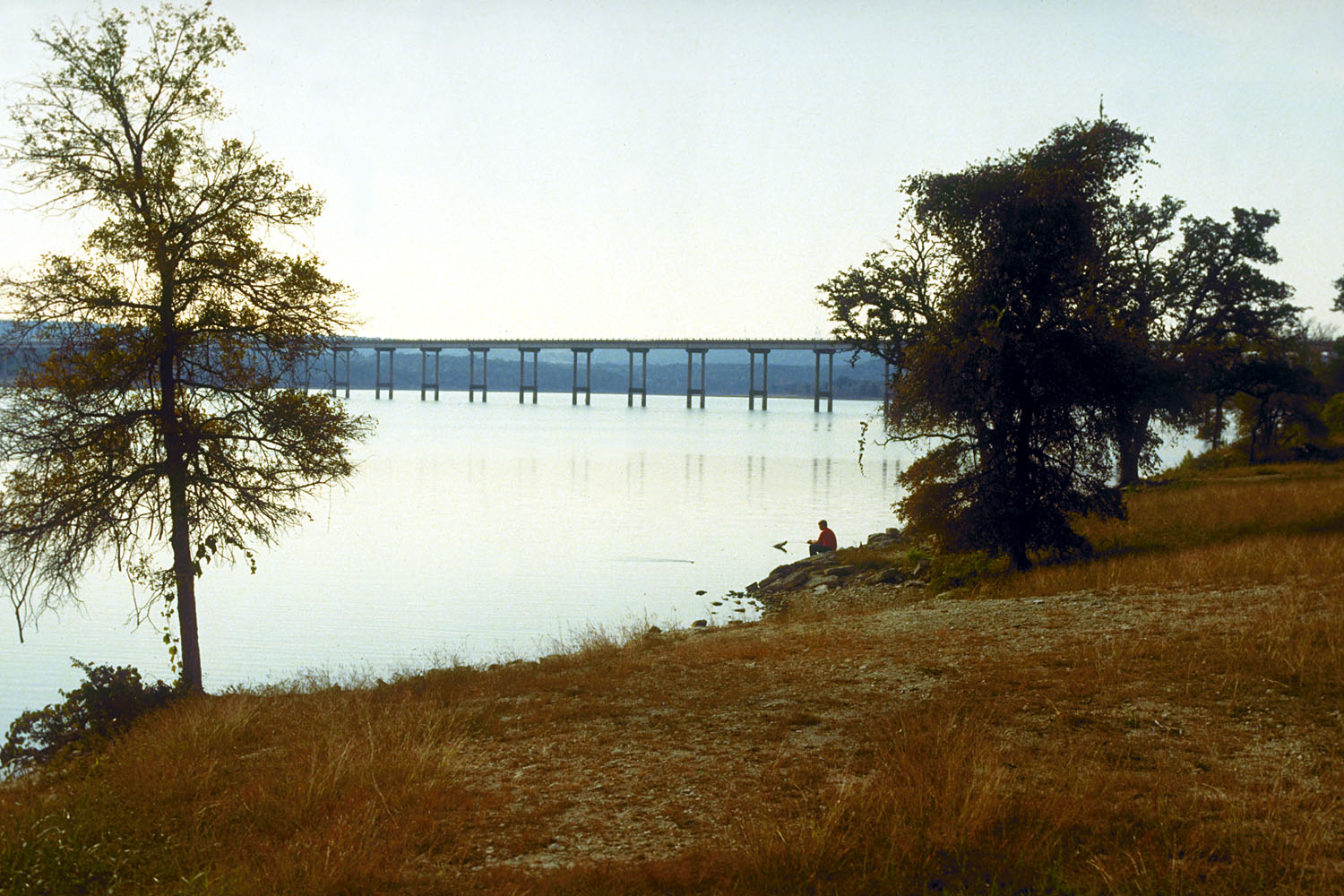
Stillhouse Hollow Lake
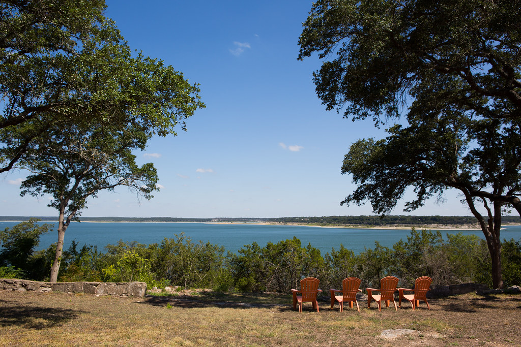
Belton Lake
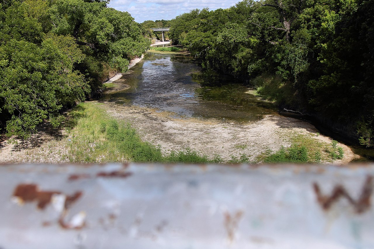
Lampasas River
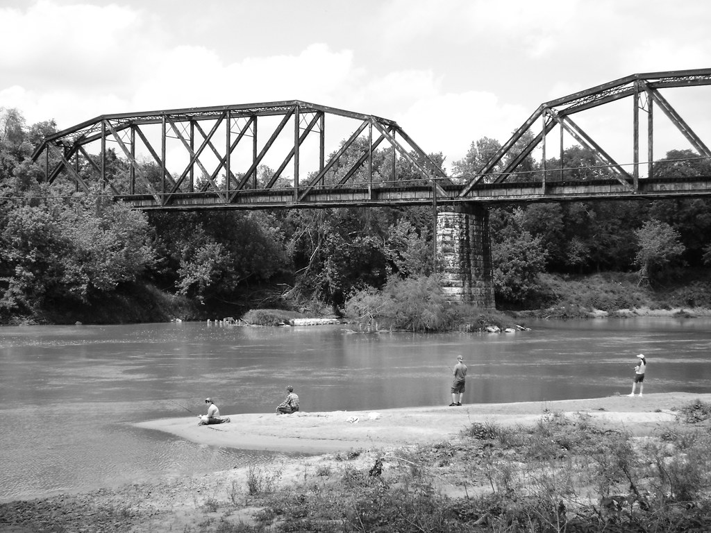
Colorado River
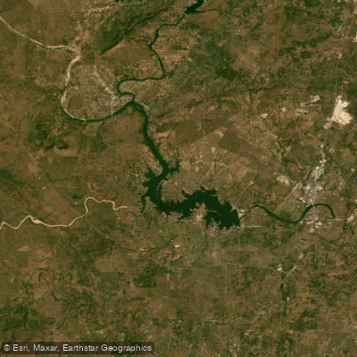
Lake Lyndon B Johnson
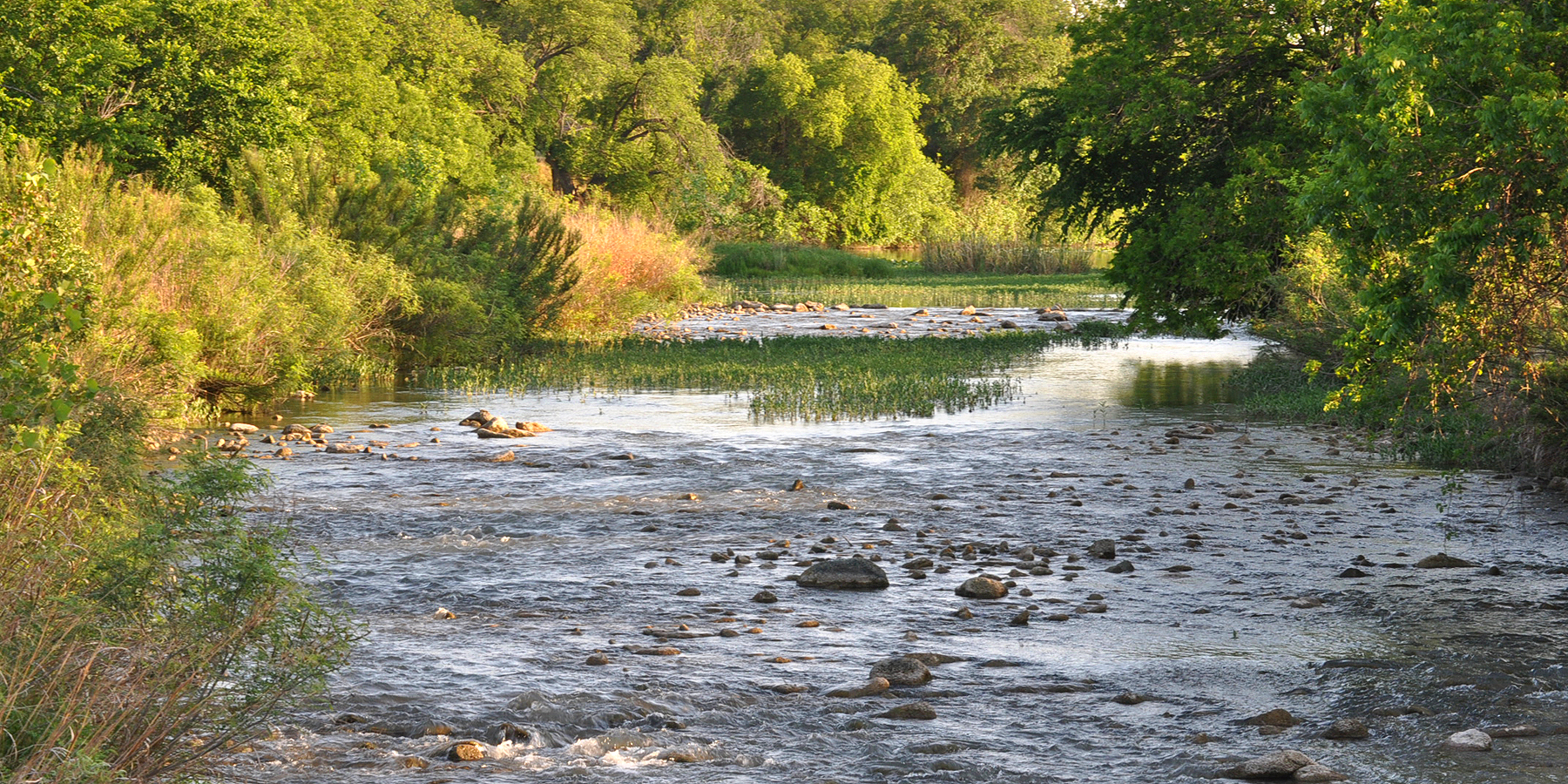
San Saba River
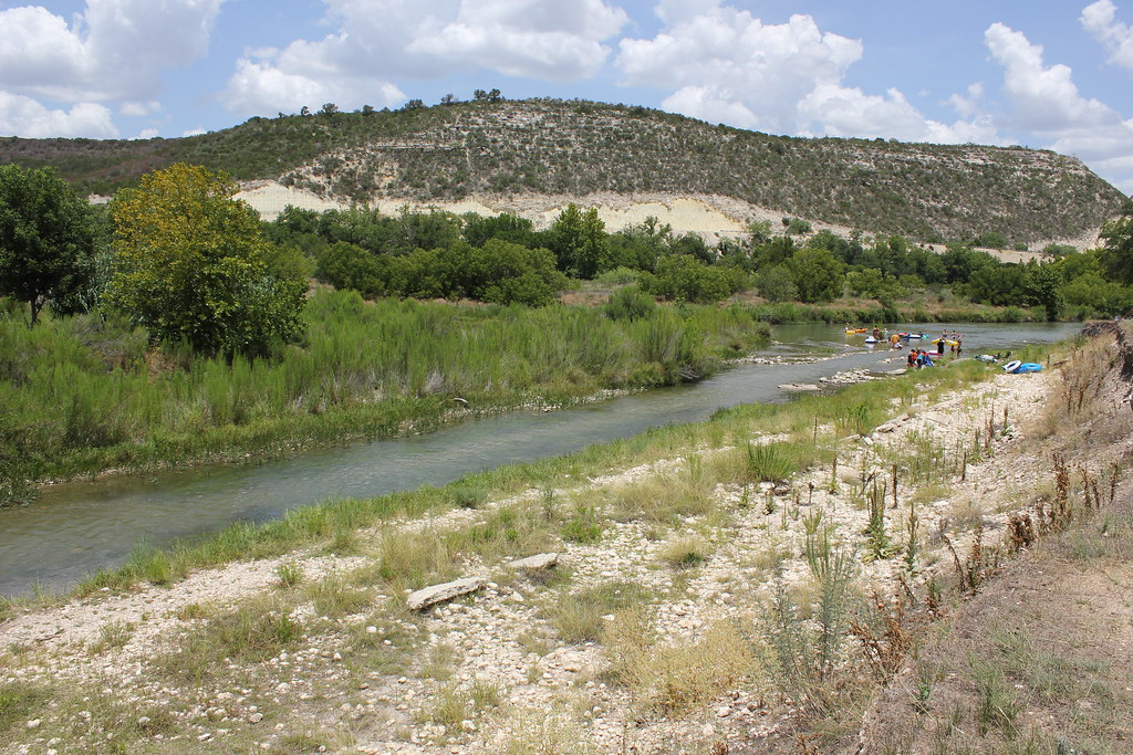
Llano River
North Bosque River
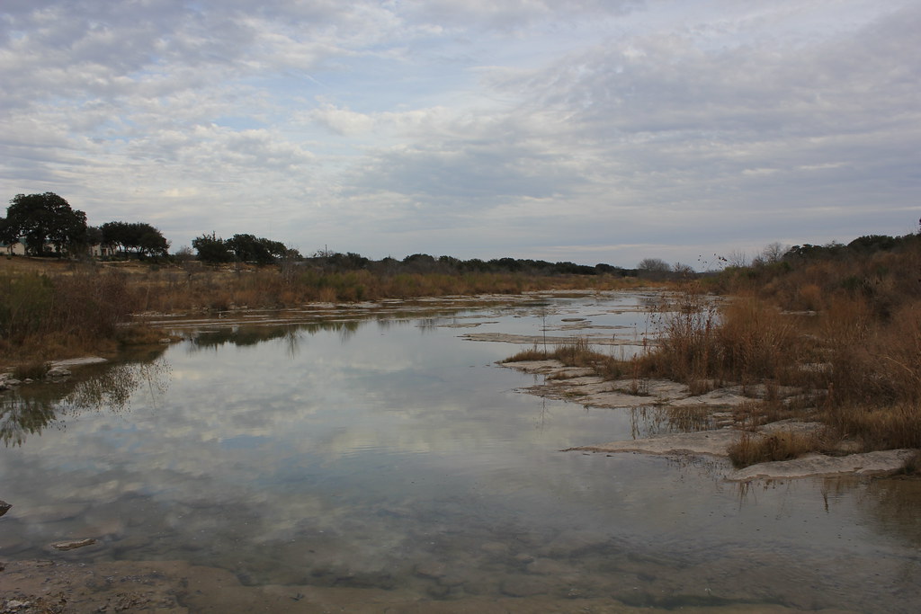
Pedernales River
Explore Texas waters
Top paddling waters
Popular Cities
Loading popular cities...
Explore near Cowhouse Creek
Access points
Nearby waters
More in Texas

Smarter Paddling Starts in the App.
Paddleways gives you everything you need to plan smarter, paddle better, and own every trip from first launch to takeout.