Lake Lyndon B Johnson
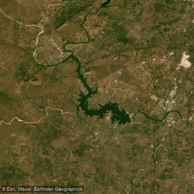
Lake Lyndon B Johnson
- Boat Ramps
- 16
- Access Points
- 16
- Campsites
- 17
Lake Lyndon B. Johnson, commonly known as Lake LBJ, is a 6,534-acre reservoir located about 45 miles northwest of Austin in the Texas Hill Country. The lake stretches for 21 miles along the Colorado River from Kingsland to Horseshoe Bay. With a maximum depth of 90 feet, Lake LBJ offers diverse paddling opportunities.
Several public boat ramps provide access for paddlers. The Wirtz Dam/Cottonwood Ramp on the south shore has a one-lane concrete ramp and parking for 20-30 vehicles. Kingsland Lions Park on the north side also has a public ramp. Sunrise Beach Village maintains three free public ramps, including one at McNair Park that is sheltered from south winds.
Lake LBJ is known for its relatively constant water level, making it reliable for paddling year-round. However, the lake can become crowded, especially during summer months. Early mornings tend to offer the calmest conditions. Water temperatures typically reach the low 80s Fahrenheit in summer.
Paddlers should be aware of potential hazards like boat traffic and submerged structures. The lake has been infested with hydrilla, an invasive aquatic plant that can entangle paddles and boats. Wildlife of interest includes various fish species like largemouth bass, white bass, catfish, and crappie.
Notable sights include multimillion-dollar mansions along the shoreline, particularly around Horseshoe Bay. The Horseshoe Bay Lighthouse, completed in 1972, is visible from the water. Paddlers can also observe the Thomas C. Ferguson Power Plant, which uses the lake for cooling water.
Lake LBJ has historical significance, having been renamed in 1965 to honor President Lyndon B. Johnson, who owned a ranch on the lake. The lake serves as one of the Highland Lakes chain on the Colorado River, playing a role in flood control and water supply for the region.
Water access, boat ramps & amenities
Learn how to get on Lake Lyndon B Johnson. Uncover great paddling access points, boat ramps, and all the facilities you need for an unforgettable day on the water. Some locations shown may border or include private property. Always check property boundaries and applicable regulations before visiting. PaddleWays's Public & Private Land layer can help you plan your access with confidence.
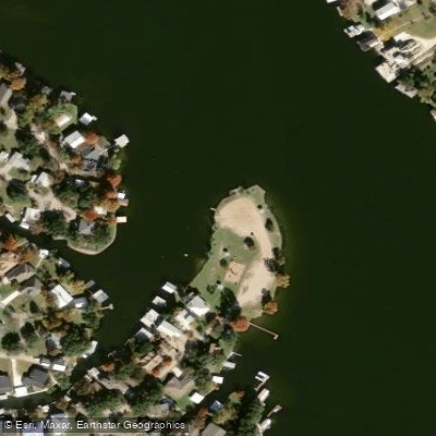
Robin Hood Park Boat Ramp
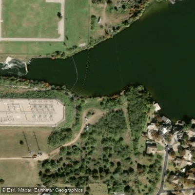
Lake LBJ Boat Ramp
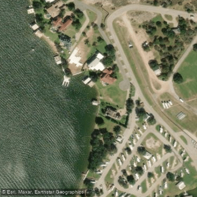
Lake LBJ Boat Ramp
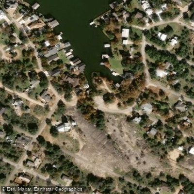
Castleshoals Park Boat Ramp
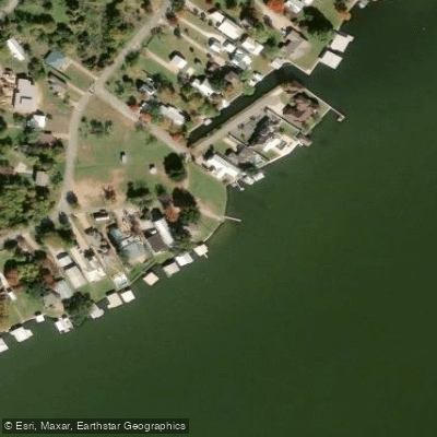
East Lakeshore Park Boat Ramp
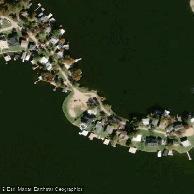
Clear Cove Park Boat Ramp
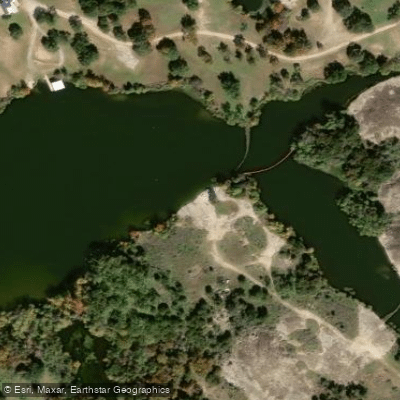
LBJ Lake Boat Ramp
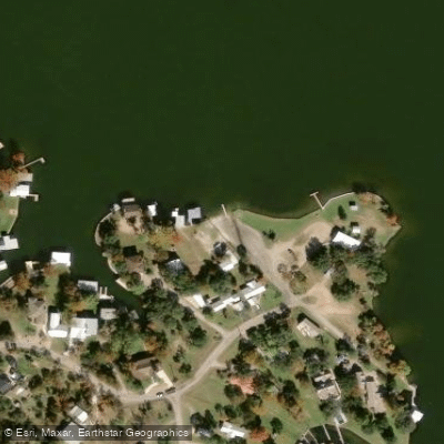
McNair Park Boat Ramp
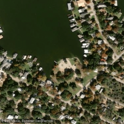
Bluebriar Park Boat Ramp
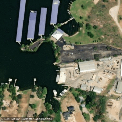
Lake LBJ Boat Ramp
Paddle smarter with real-time insights
Whether you're en route and conditions shift or you're looking for the best spot based on current flows, we enable you to make informed decisions on the fly.








Find Places to Paddle

Over 400,000 Places to Paddle
Every user gets free access to launch points, boat ramps, and public property parcels.


Water and weather conditions (10 day forecast)
See the best times to paddle Lake Lyndon B Johnson and check the forecast before you go.
Lake LBJ at Sandy Harbor
Paddling near Lake Lyndon B Johnson
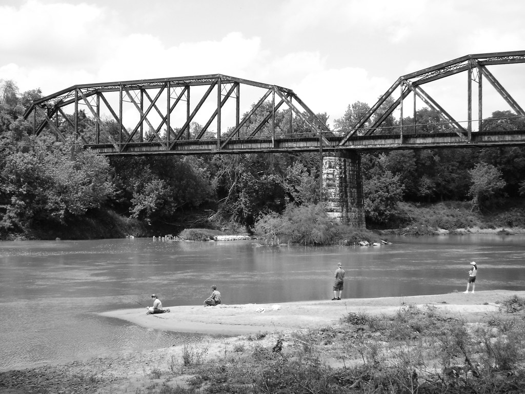
Colorado River
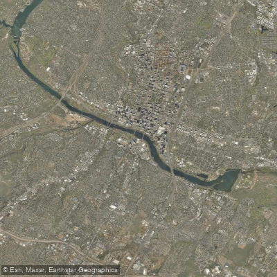
Lady Bird Lake
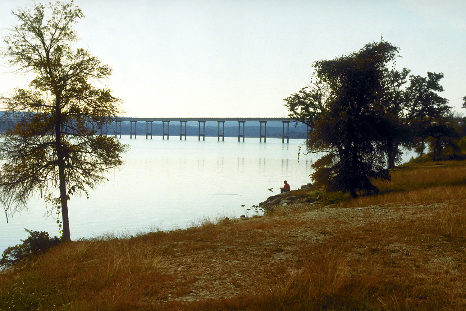
Stillhouse Hollow Lake
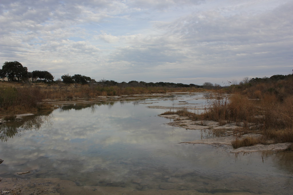
Pedernales River
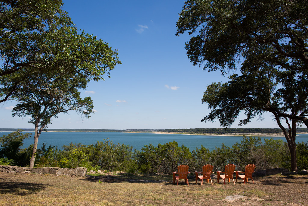
Belton Lake
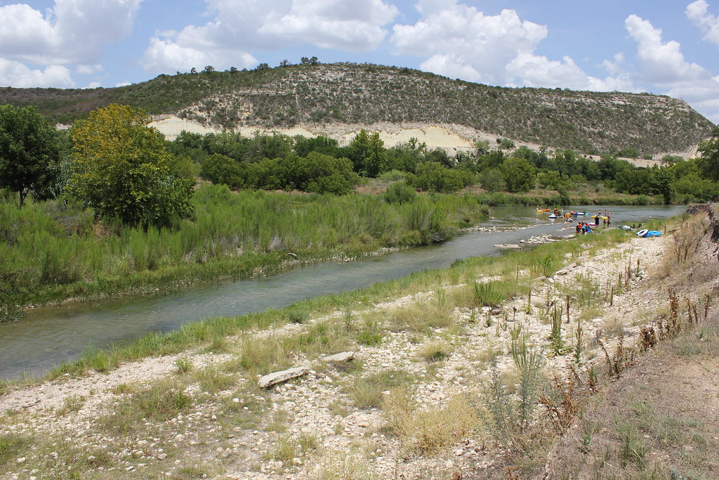
Llano River
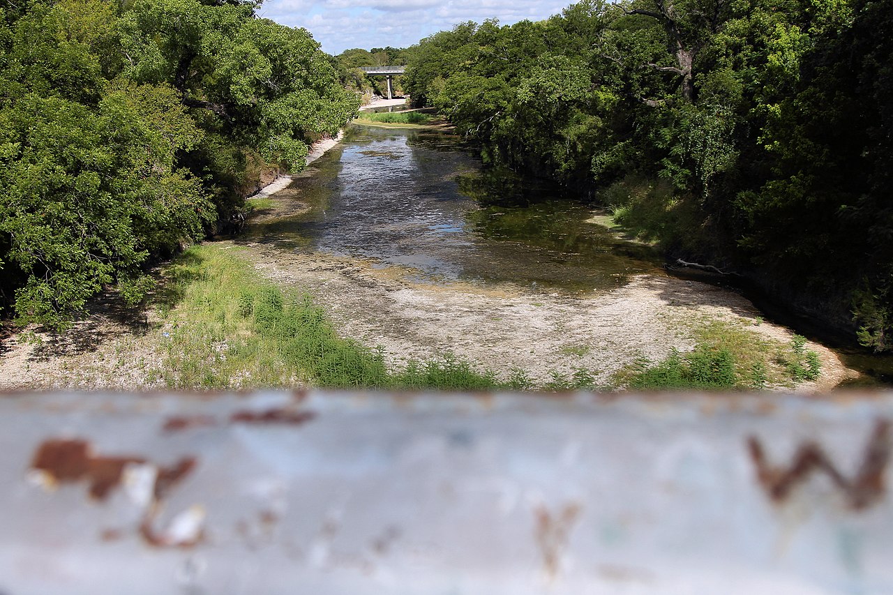
Lampasas River
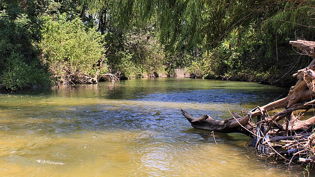
Onion Creek
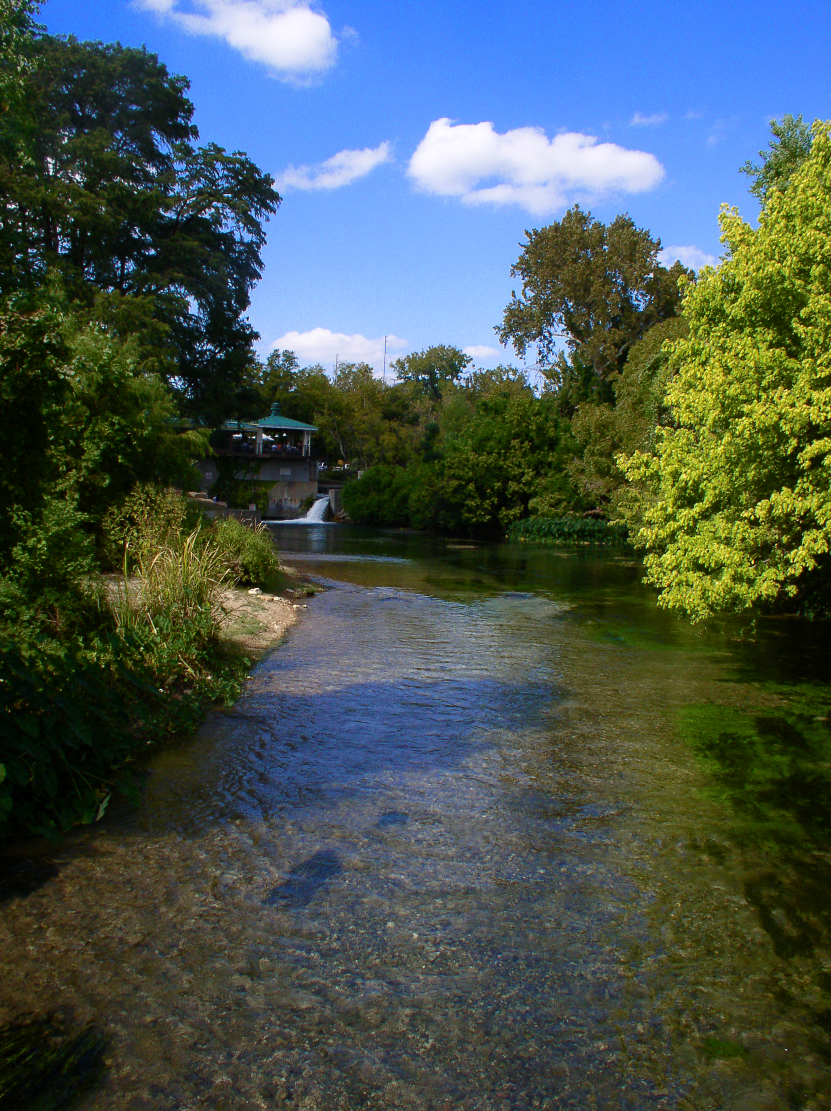
San Marcos River
Explore Texas waters
Top paddling waters
Popular Cities
Loading popular cities...
Explore near Lake Lyndon B Johnson
Access points
Nearby waters
More in Texas

Smarter Paddling Starts in the App.
Paddleways gives you everything you need to plan smarter, paddle better, and own every trip from first launch to takeout.