Onion Creek
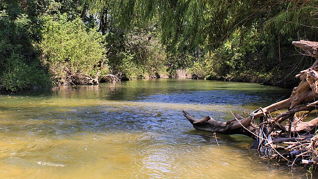
Onion Creek
- Boat Ramps
- 4
- Access Points
- 22
- Campsites
- 7
Onion Creek originates in the Texas Hill Country near Dripping Springs in Hays County, flowing approximately 79 miles eastward through Blanco, Hays, and Travis counties before joining the Colorado River northwest of Garfield in Travis County. This tributary carves through limestone terrain characteristic of the Edwards Aquifer recharge zone, creating a creek system that transitions from rural Hill Country landscapes to increasingly urban environments as it approaches Austin. The creek's name derives from wild onions that historically grew along its banks. Its watershed spans 211 square miles, with the waterway passing through Driftwood, the community of Onion Creek, and southeastern Austin before reaching its terminus. Notable features include the waterfalls at McKinney Falls State Park, where Onion Creek cascades over limestone ledges into pools below, creating one of Austin's most recognizable natural attractions within city limits.
Paddling opportunities on Onion Creek remain limited and highly seasonal. The creek typically flows intermittently through much of the year, with sufficient water for paddling primarily following significant rainfall events. When conditions permit, short paddling sections exist near McKinney Falls State Park and in the Barkley Meadows Park area in Travis County. These stretches offer calm water suitable for kayaks and canoes, though paddlers should expect shallow conditions, potential portages around obstacles, and the need to navigate through urban areas in the lower sections. The creek is not maintained as a designated paddling trail, and water levels must be verified before attempting any float.
The creek's flow varies dramatically with rainfall. Spring typically provides the most reliable water levels, though flash flooding presents serious hazards during heavy rain events. The devastating floods of October 2013 and subsequent years resulted in the City of Austin purchasing hundreds of flood-prone properties along lower Onion Creek, which now form parts of the Onion Creek Metropolitan Park system.
Riparian vegetation includes cypress trees, cottonwoods, and native grasses. Wildlife includes herons, turtles, fish species, and typical Hill Country fauna. The creek supports aquatic life when flowing, though drought periods can reduce sections to isolated pools.
Access points include McKinney Falls State Park (5808 McKinney Falls Parkway, Austin), Barkley Meadows Park, and Onion Creek Metropolitan Park, all in Travis County. The creek flows through both public parkland and private property, requiring careful attention to access rights.
Historically significant as part of the Edwards Aquifer recharge zone, Onion Creek contributes substantially to regional groundwater supplies. The Thomas McKinney homestead at McKinney Falls State Park preserves 1850s-era structures along the creek.
Safety considerations include flash flood danger, variable water levels, potential water quality issues following rain events, and the need to respect private property boundaries. Swimming and wading occur at designated areas in McKinney Falls State Park, though the creek lacks lifeguards and formal supervision. Multi-day paddling trips are not feasible given the creek's length, intermittent flow, and urban setting in its lower reaches.
Water access, boat ramps & amenities
Learn how to get on Onion Creek. Uncover great paddling access points, boat ramps, and all the facilities you need for an unforgettable day on the water. Some locations shown may border or include private property. Always check property boundaries and applicable regulations before visiting. PaddleWays's Public & Private Land layer can help you plan your access with confidence.
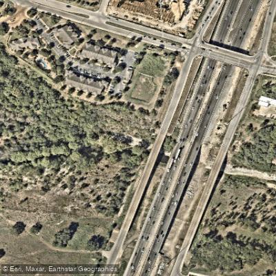
I-35 Bridge Access
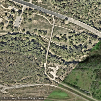
Moore's Crossing Access
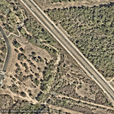
Onion Creek Forest Park Access
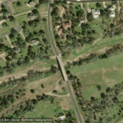
Ruby Ranch Road Access
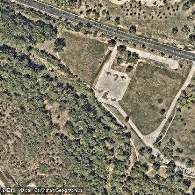
City of Austin Access
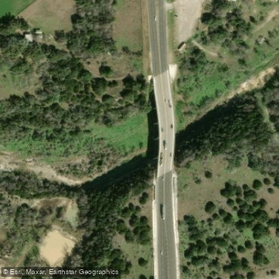
F.M. 1626 Access
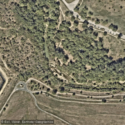
Richard Moya Park Trail Access
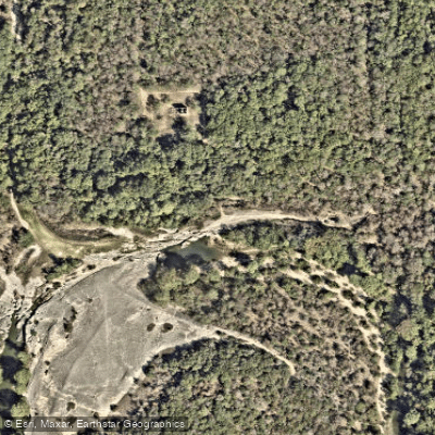
Lower McKinney Falls Access
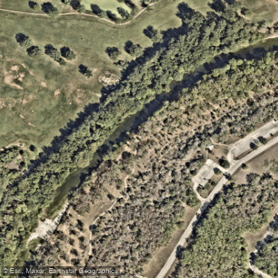
Upper McKinney Falls Access
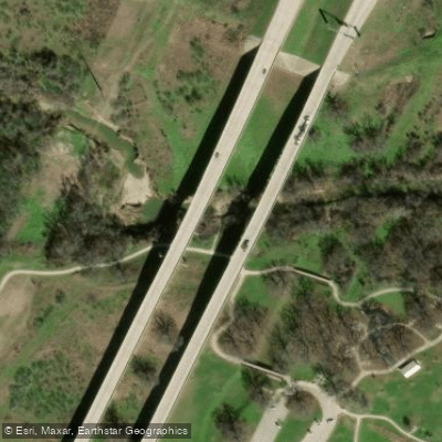
Pickle Parkway Bridge Access
Paddle smarter with real-time insights
Whether you're en route and conditions shift or you're looking for the best spot based on current flows, we enable you to make informed decisions on the fly.








Find Places to Paddle

Over 400,000 Places to Paddle
Every user gets free access to launch points, boat ramps, and public property parcels.


Water and weather conditions (10 day forecast)
See the best times to paddle Onion Creek and check the forecast before you go.
Onion Ck nr Driftwood, TX
All Flow Stations
Paddling near Onion Creek
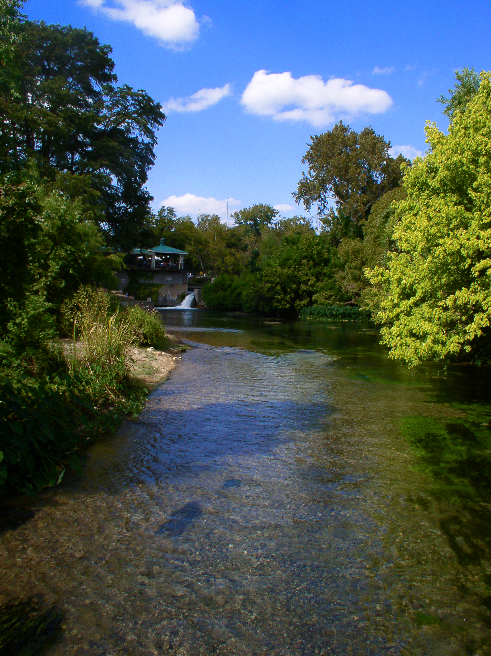
San Marcos River
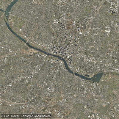
Lady Bird Lake
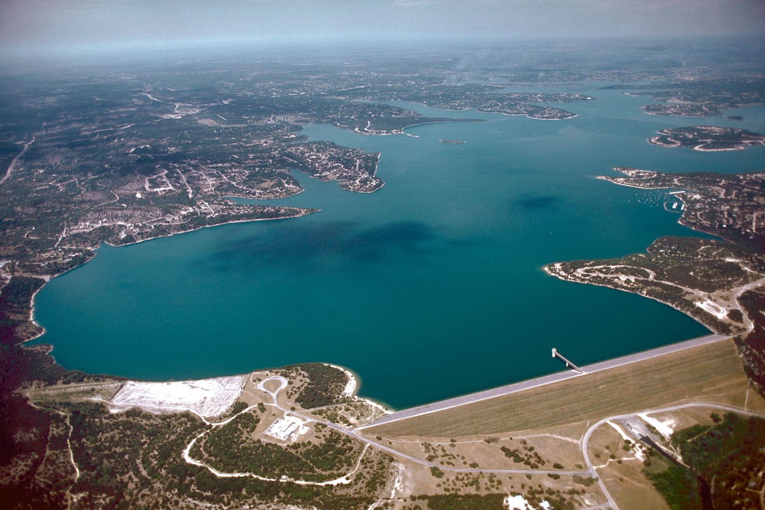
Canyon Lake
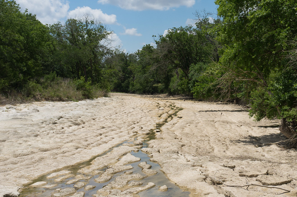
Blanco River
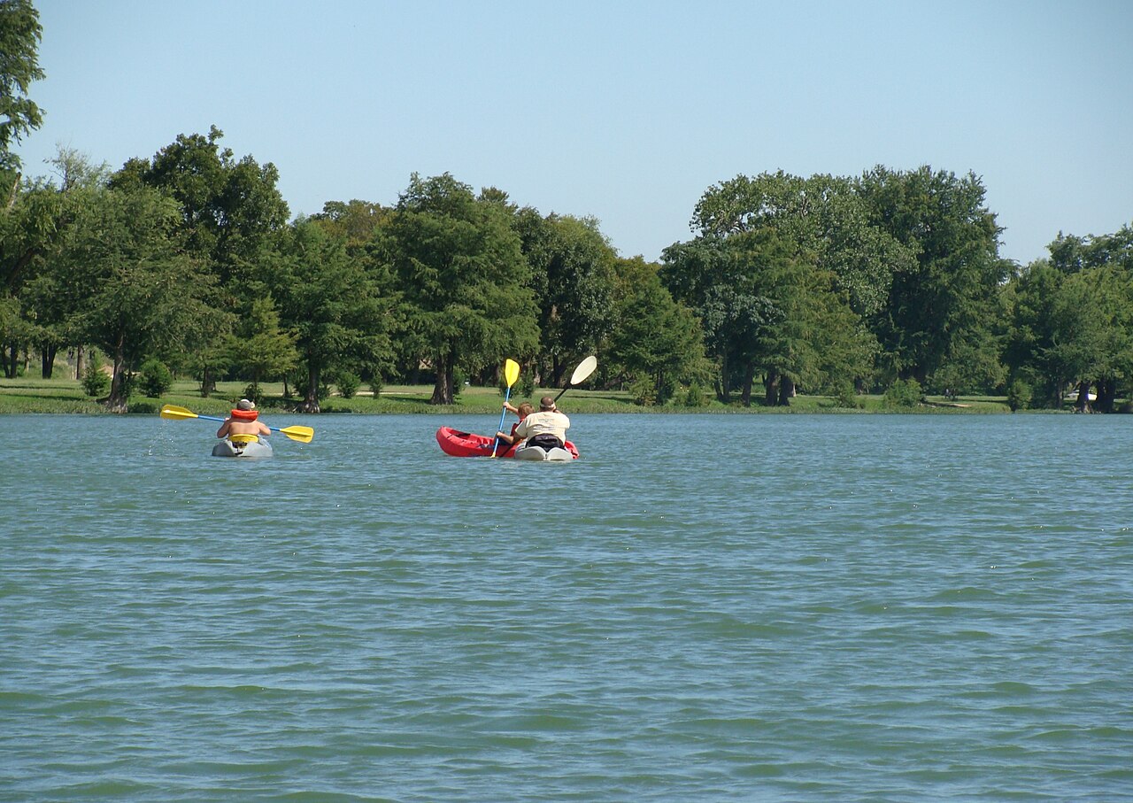
Guadalupe River
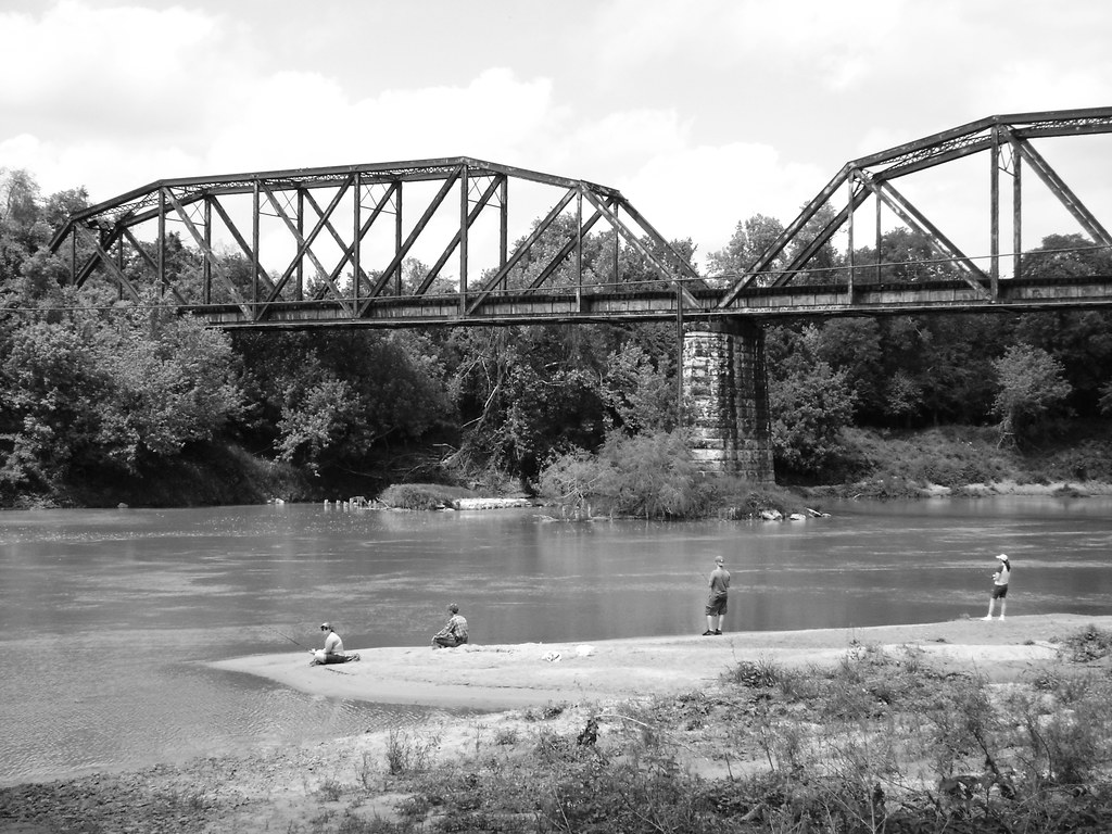
Colorado River
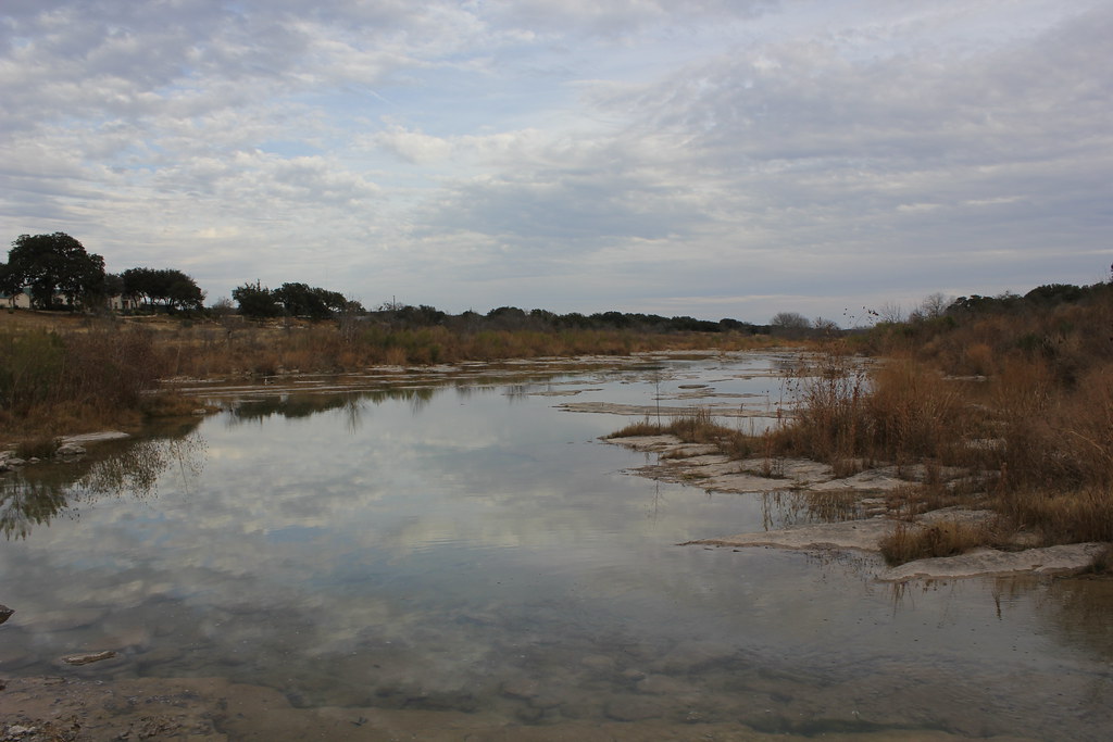
Pedernales River
Lake Lyndon B Johnson
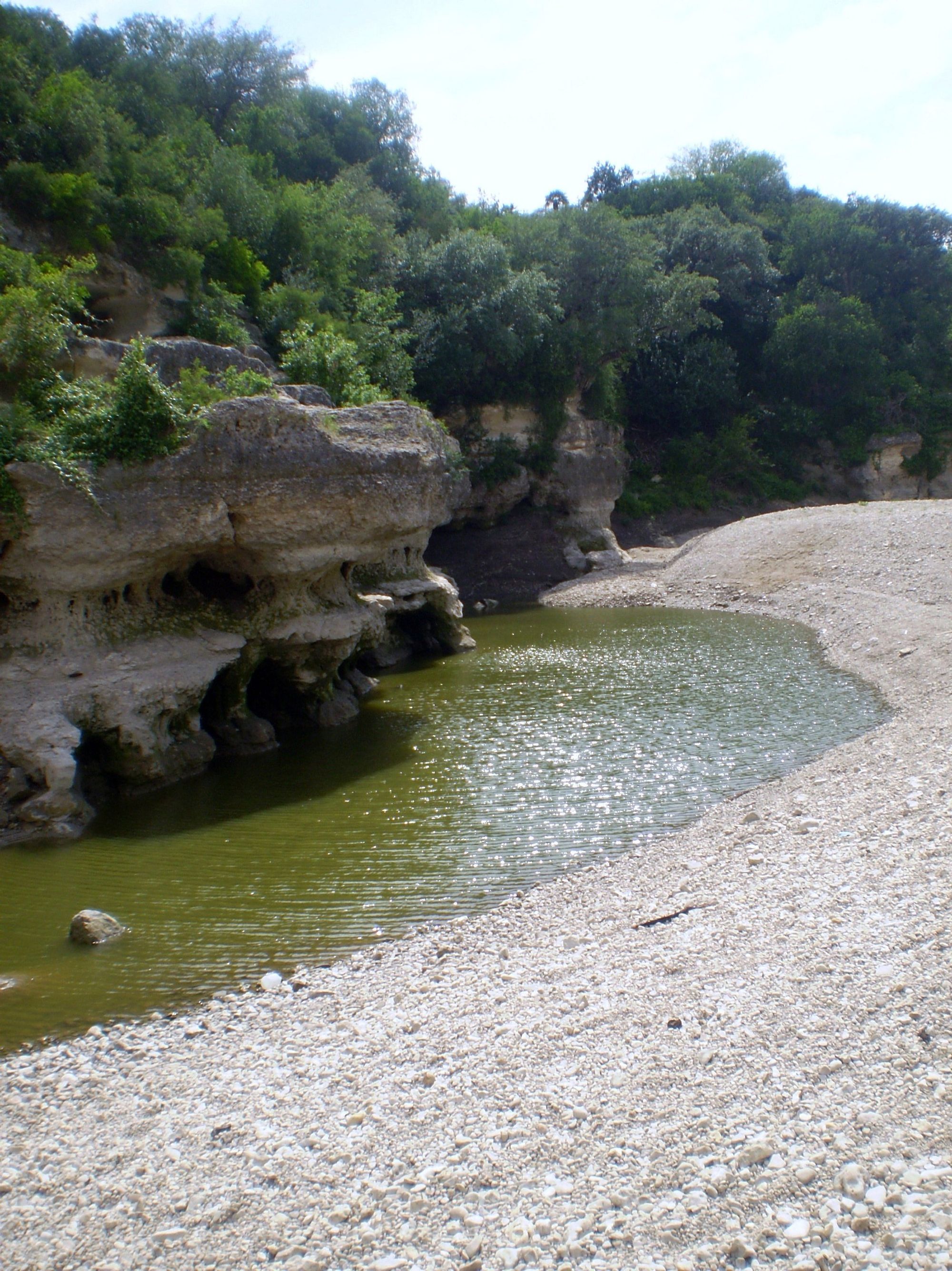
Cibolo Creek
Explore Texas waters
Top paddling waters
Popular Cities
Loading popular cities...
Explore near Onion Creek
Access points
Nearby waters
More in Texas

Smarter Paddling Starts in the App.
Paddleways gives you everything you need to plan smarter, paddle better, and own every trip from first launch to takeout.