San Marcos River
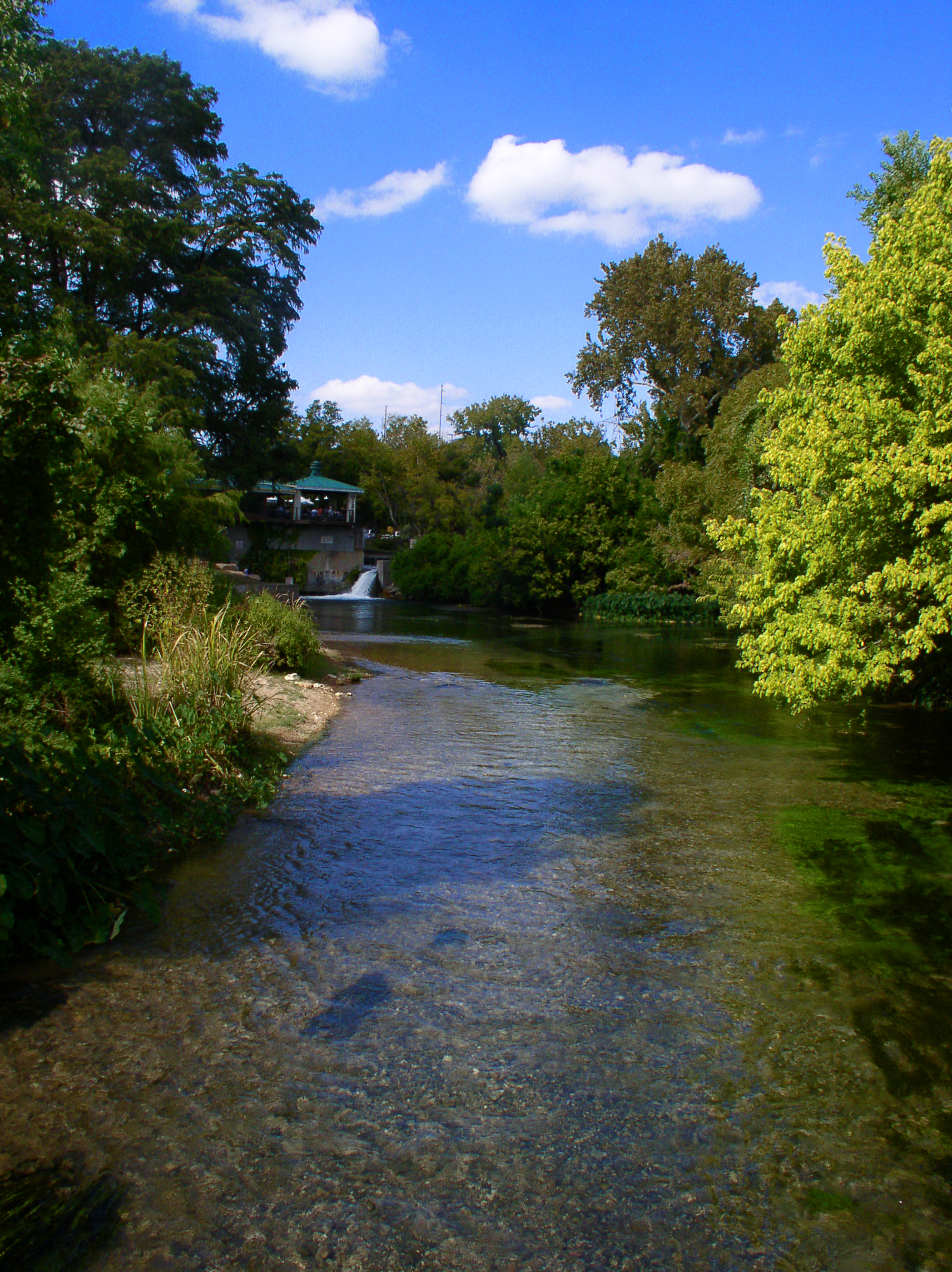
San Marcos River
- Boat Ramps
- 17
- Access Points
- 28
- Campsites
- 6
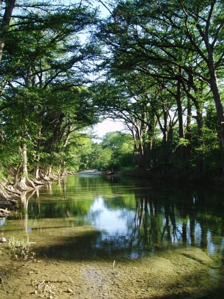
The San Marcos River is a pristine, spring-fed waterway that flows through the heart of Texas Hill Country. Originating from the Edwards Aquifer in San Marcos, this crystal-clear river maintains a constant 72-degree temperature year-round, making it a popular destination for paddlers, tubers, and swimmers in all seasons.
The river offers a diverse range of paddling experiences suitable for various skill levels. The upper section, starting at City Park in San Marcos, provides a gentle, beginner-friendly float through the city under a canopy of trees. As the river progresses, it presents more challenging sections, such as the exciting Rio Vista Falls in San Marcos, which features three fun drops popular among kayakers and even surfers.
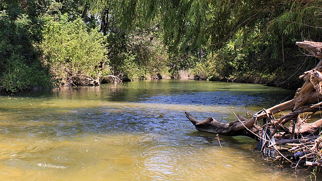
For those seeking a longer adventure, the river continues past San Marcos through Martindale and on to Luling, offering a mix of calm stretches and minor rapids. The Martindale section, for instance, keeps paddlers engaged with some excitement in the first half before transitioning to a more relaxed experience ideal for wildlife watching.
The San Marcos River is generally suitable for beginners to intermediate paddlers, with difficulty levels ranging from Class I to II. However, there are a few Class I rapids and small dams along certain sections that may require portaging, so paddlers should be prepared for these obstacles.
While the river's consistent flow allows for year-round paddling, spring and fall offer particularly pleasant conditions. Summer attracts larger crowds seeking relief from the Texas heat, while winter provides a peaceful experience for those willing to brave cooler air temperatures.
The river's ecosystem is rich and diverse, supporting various species of fish, turtles, and birds. Lucky paddlers might spot the endangered Texas blind salamander or the San Marcos salamander, both unique to this river system. The clear waters also allow for excellent visibility of the river's aquatic plant life.
Notable landmarks along the river include the historic Zedler Mill in Luling, which serves as the endpoint for the popular Luling Zedler Mill Paddling Trail. This 6-mile stretch is part of the Texas Paddling Trails system and offers a scenic journey through tree-lined banks.
Access points are plentiful, with major put-ins at City Park in San Marcos, Rio Vista Park, and various locations near Martindale and Luling. The towns of San Marcos, Martindale, and Luling serve as primary hubs for river activities, offering amenities and services for paddlers.
The San Marcos River holds significant ecological and cultural importance. It's home to several endangered species and has been a focal point of human settlement for thousands of years. Today, it plays a crucial role in the region's recreation and tourism industry.
Safety is paramount on the San Marcos River. Paddlers should always wear life jackets, be aware of low-head dams, and respect private property along the banks. It's also crucial to practice Leave No Trace principles to help preserve the river's pristine condition.
For those looking for multi-day adventures, it's possible to paddle from San Marcos all the way to the confluence with the Guadalupe River, though this requires careful planning and more advanced skills. Most recreational paddlers, however, tend to focus on day trips within the upper 16.5 miles of the river.
The San Marcos River truly offers something for everyone, from tranquil floats to exciting rapids, making it a cherished natural resource in the Texas Hill Country.
Water access, boat ramps & amenities
Learn how to get on San Marcos River. Uncover great paddling access points, boat ramps, and all the facilities you need for an unforgettable day on the water. Some locations shown may border or include private property. Always check property boundaries and applicable regulations before visiting. PaddleWays's Public & Private Land layer can help you plan your access with confidence.
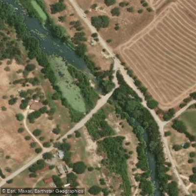
Scull's Crossing Access
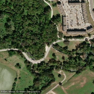
John J Stokes Park Access
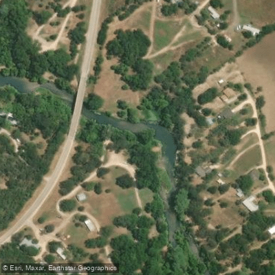
FM 1979 Access
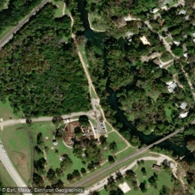
Bicentennial Park Access
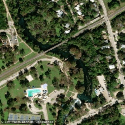
Rio Vista Park Access
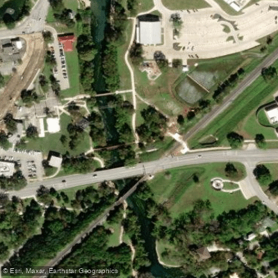
Veterans Plaza Trail Access
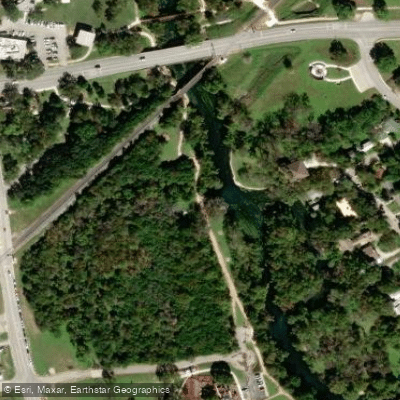
Bicentennial Park Trail ADA Access
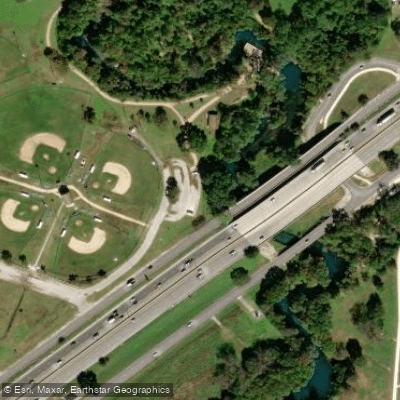
Ramon Lucio Park Trailhead Access
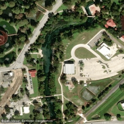
San Marcos City Park Access
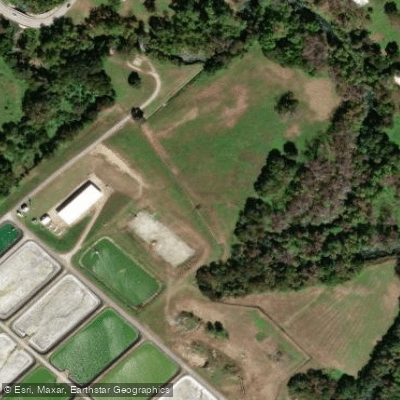
John Stokes Park Access
Paddle smarter with real-time insights
Whether you're en route and conditions shift or you're looking for the best spot based on current flows, we enable you to make informed decisions on the fly.








Find Places to Paddle

Over 400,000 Places to Paddle
Every user gets free access to launch points, boat ramps, and public property parcels.


Water and weather conditions (10 day forecast)
See the best times to paddle San Marcos River and check the forecast before you go.
San Marcos Rv at San Marcos, TX
All Flow Stations
Paddling near San Marcos River
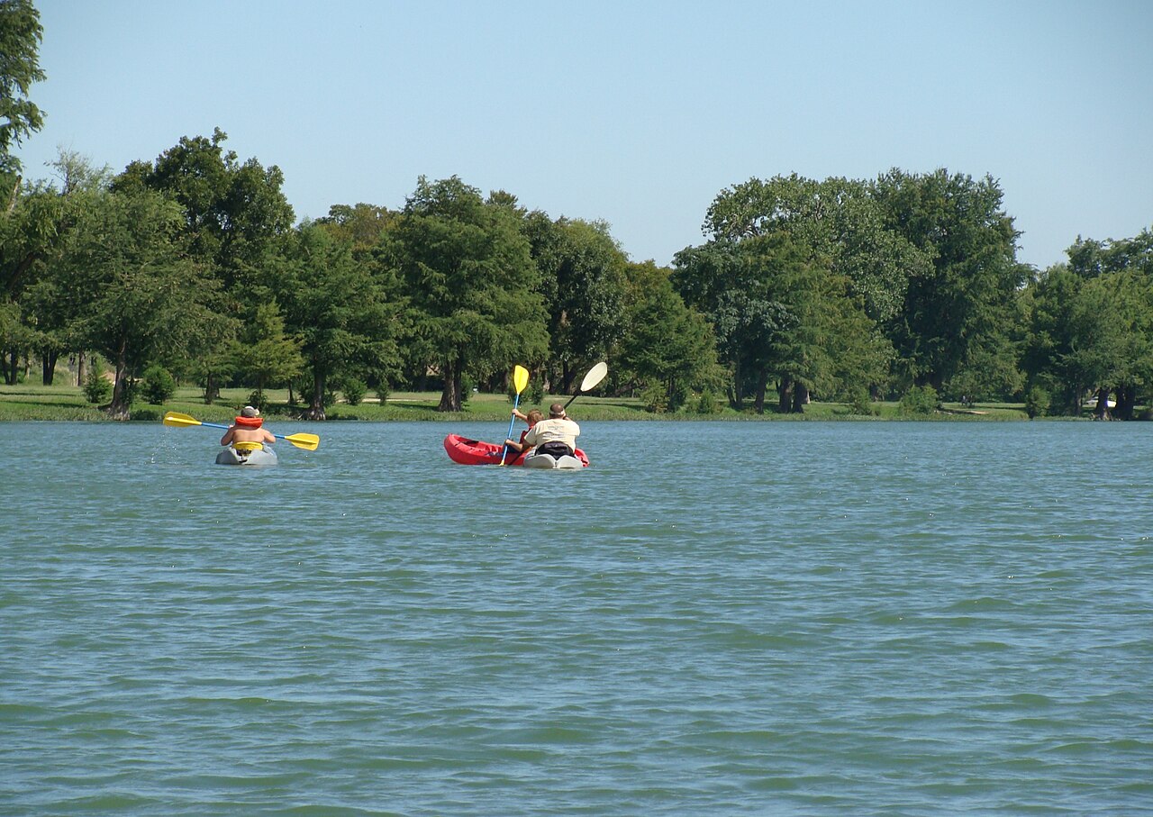
Explore Texas waters
Top paddling waters
Popular Cities
Loading popular cities...
Explore near San Marcos River
Access points
Nearby waters
More in Texas

Smarter Paddling Starts in the App.
Paddleways gives you everything you need to plan smarter, paddle better, and own every trip from first launch to takeout.