Lake Tawakoni
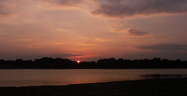
Lake Tawakoni
- Boat Ramps
- 22
- Access Points
- 22
- Campsites
- 3
Lake Tawakoni is a 37,879-acre reservoir located in northeast Texas, about an hour east of Dallas. The lake offers excellent opportunities for paddling, with 5 miles of shoreline accessible within Lake Tawakoni State Park. Paddlers can enjoy scenic views of forested shores and open water, with a chance to spot wildlife like deer, birds, and dragonflies.
The state park provides convenient access for launching kayaks and canoes, with a four-lane boat ramp available. Additional public boat ramps are located around the lake. Paddlers should be aware that Lake Tawakoni experiences considerable water level fluctuations of 3-9 feet, which can affect shoreline conditions and vegetation.
Water clarity is typically moderately stained. When water levels are high, stands of waterwillow, smartweed and other aquatic plants provide cover along portions of the shoreline. The lake tends to have limited submerged vegetation. Main lake humps attract schools of fish, which may be of interest to paddlers.
Facilities at the state park include restrooms, showers, picnic areas, and camping options ranging from RV sites to tent camping. Several scenic spots along the lakeshore offer places to take a break and enjoy the views.
Lake Tawakoni is known for its fishing opportunities, with species like catfish, striped bass, and crappie present. Paddlers interested in fishing should be aware of special regulations for catfish on this lake. No fishing license is required when fishing from shore in the state park.
The lake's relatively open waters can become choppy in windy conditions, so paddlers should check weather forecasts and exercise caution. Early mornings often provide calmer conditions. Summer temperatures frequently exceed 100°F, making the lake a welcome respite from the heat.
Water access, boat ramps & amenities
Learn how to get on Lake Tawakoni. Uncover great paddling access points, boat ramps, and all the facilities you need for an unforgettable day on the water. Some locations shown may border or include private property. Always check property boundaries and applicable regulations before visiting. PaddleWays's Public & Private Land layer can help you plan your access with confidence.
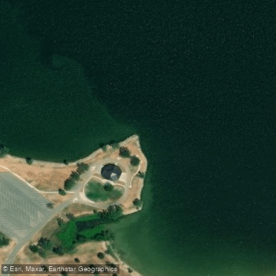
Lake Tawakoni Boat Ramp
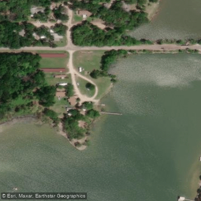
Lake Tawakoni Boat Ramp
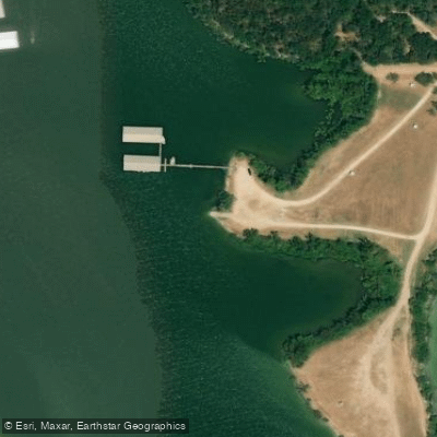
Lake Tawakoni Boat Ramp
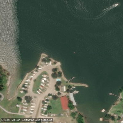
Lake Tawakoni Boat Ramp
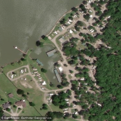
Lake Tawakoni Boat Ramp
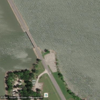
Lake Tawakoni Boat Ramp
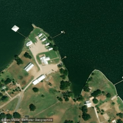
Open Water Lodge and Cabins Boat Ramp
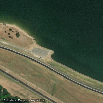
Lake Tawakoni Boat Ramp
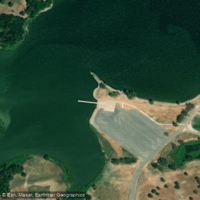
Lake Tawakoni Boat Ramp
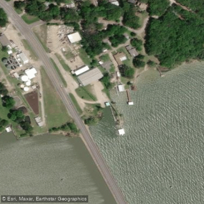
Goody's Marina Boat Ramp
Paddle smarter with real-time insights
Whether you're en route and conditions shift or you're looking for the best spot based on current flows, we enable you to make informed decisions on the fly.








Find Places to Paddle

Over 400,000 Places to Paddle
Every user gets free access to launch points, boat ramps, and public property parcels.


Water and weather conditions (10 day forecast)
See the best times to paddle Lake Tawakoni and check the forecast before you go.
Sabine Rv nr Wills Point, TX
Paddling near Lake Tawakoni
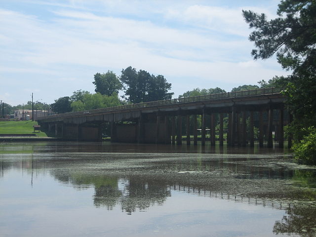
Sabine River
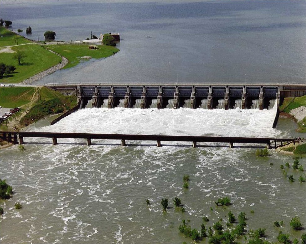
Lavon Lake

Red River
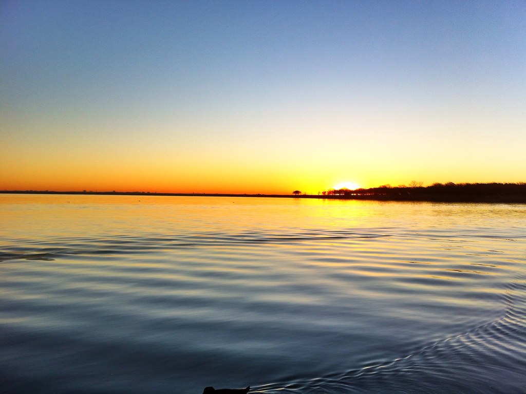
Lake Lewisville

Trinity River
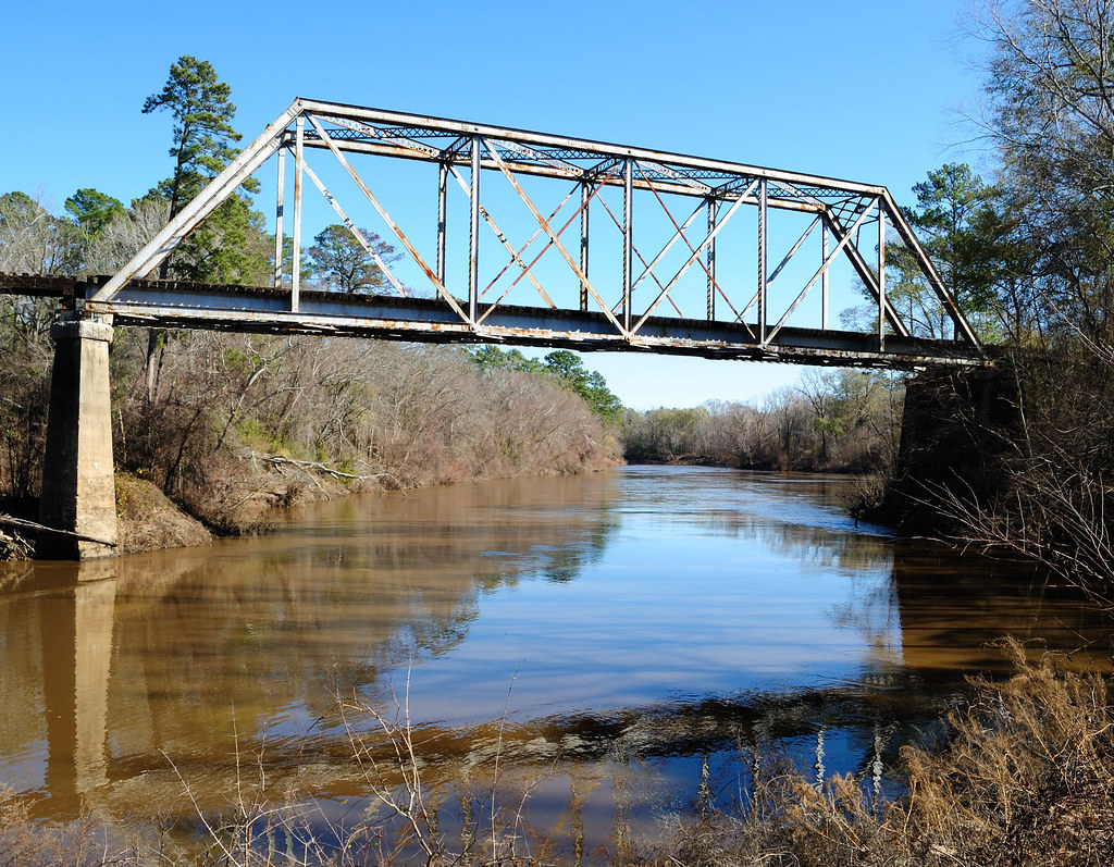
Neches River
Greenville Reservoir Number Five
South Sulphur River
Greenville Reservoir Number Six
Explore Texas waters
Top paddling waters
Popular Cities
Loading popular cities...
Explore near Lake Tawakoni
Access points
- Lake Tawakoni Boat Ramp
- Lake Tawakoni Boat Ramp
- Lake Tawakoni Boat Ramp
- Lake Tawakoni Boat Ramp
- Lake Tawakoni Boat Ramp
- Lake Tawakoni Boat Ramp
- Open Water Lodge and Cabins Boat Ramp
- Lake Tawakoni Boat Ramp
- Lake Tawakoni Boat Ramp
- Goody's Marina Boat Ramp
- Lake Tawakoni Boat Ramp
- 2-Mile East Public Boat Ramp
- All 26 spots
Nearby waters
More in Texas

Smarter Paddling Starts in the App.
Paddleways gives you everything you need to plan smarter, paddle better, and own every trip from first launch to takeout.