Curated by PaddleWays
RouteClass II
- Distance
- 6.9 mi
- Paddle time
- ~2.5 hrs
- Best for
- Beginners
- Put-in → take-out
- Nolan River Boat Ramp → Lake Whitney Boat Ramp
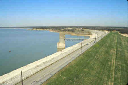
The Nolan River is a 27-mile long tributary of the Brazos River in north-central Texas. It originates in Johnson County near Cleburne and flows southeast through Hill County before joining the Brazos River at the headwaters of Lake Whitney. The river's primary tributary is Buffalo Creek, which confluences with the Nolan just southeast of Lake Pat Cleburne.
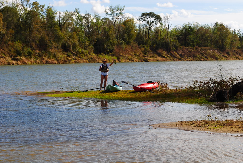
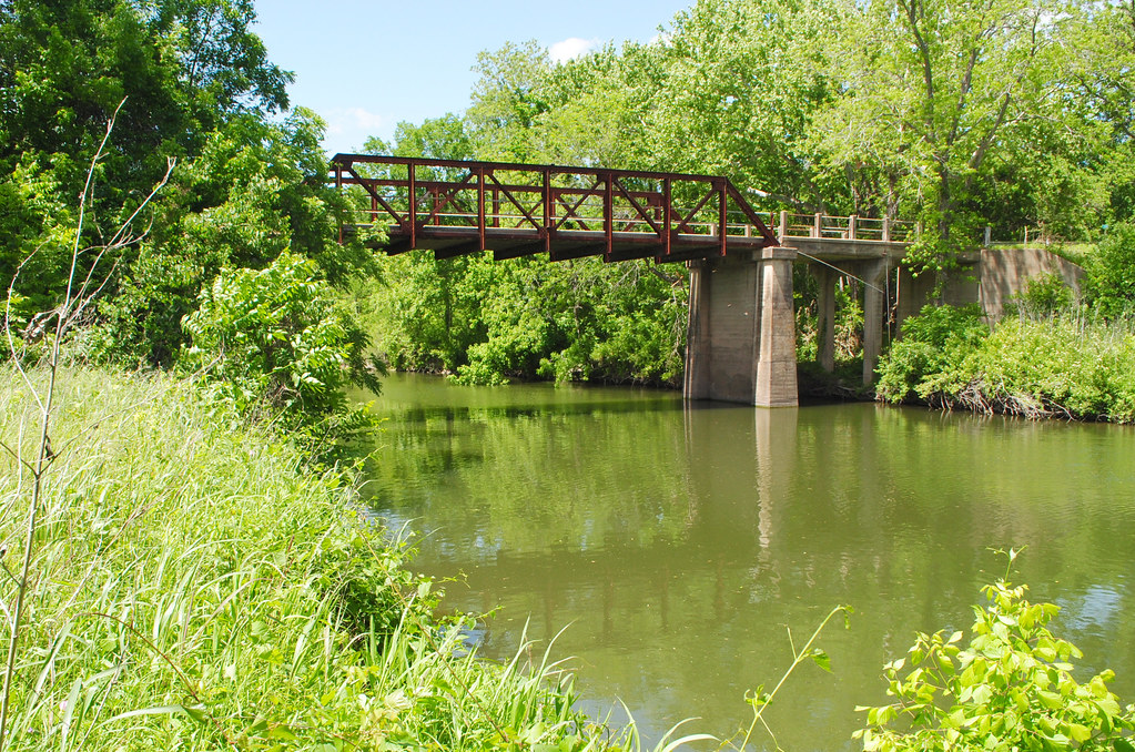
Paddlers can enjoy two distinct sections on the Nolan River. The upper 6-mile stretch from State Highway 174 to Adair Spring Park offers a relatively easy Class II paddling experience suitable for beginners. This section features small rapids and riffles as it winds through the Texas countryside near Cleburne State Park. The lower 18.5-mile section from south of Cleburne to Lake Whitney presents a more challenging Class II+ paddle through remote terrain. While none of the rapids exceed Class II+ difficulty, the river's isolation and limited access points create potential for higher consequences. Multiple bridge crossings provide intermittent access, but most have very limited parking.
The Nolan River is best paddled in spring and early summer when water levels are typically higher. Late summer through fall often sees low water conditions that may require portaging.
The river corridor supports diverse riparian vegetation and wildlife typical of north-central Texas, including cottonwoods, sycamores, herons, and various fish species. Key landmarks include Lake Pat Cleburne at the river's upper reaches, the town of Rio Vista at the midpoint, and the dramatic confluence with the much larger Brazos River.
The Nolan played a role in early Texas settlement, with several historic crossings still evident today. Paddlers should be aware that most of the river flows through private property with limited camping options. Careful planning is essential for longer trips. Those attempting the full length should be prepared for remote conditions with few easy escape routes.
A Texas Parks and Wildlife fishing license is required for anglers. While primarily a day-trip destination, experienced paddlers can link sections for an overnight adventure, taking out at the Lake Whitney boat ramp. The Nolan River offers an intimate paddling experience through a slice of rural Texas landscape often overlooked by visitors to the region.
Curated routes
Hand-picked by the PaddleWays team, with put-ins, take-outs, paddle times and the hazards along the way.
RouteClass II
RouteClass II
Hazards
No paddler has reported a hazard here yet, so these are the dams, falls and big rapids on our map. Hazards change with flows and storms, so check them before you launch.
From the community
Nobody has shared a trip on Nolan River yet. Paddle it, then tell the next paddler how it went.
See exactly where the public can get on and off the river. Launch points and boat ramps are paired with PaddleWays' public land data so you know where you can legally land.
Public shoreline
24%of the river's shoreline is public
Most of the riverbank is private. Launch, land and camp only at public access points.
Flows, weather and a route-by-route verdict, so you know which stretch of the Nolan River is worth paddling today.
Live flows, marked hazards and fresh trip reports from paddlers who were just on the water, all in one place.





Every user gets free access to launch points, boat ramps, and public property parcels.
Loading popular cities...
PaddleWays gives you everything you need to plan smarter, paddle better, and own every trip from first launch to takeout.