Salt Fork Red River
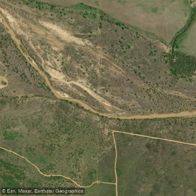
Salt Fork Red River
- Boat Ramps
- 1
- Access Points
- 4
- Campsites
- 0
The Salt Fork Red River is a sandy-braided stream that originates in the Texas Panhandle and flows eastward across West Texas and Western Oklahoma. This 311 km (193 mile) long river begins near Claude, Texas in northern Armstrong County, just south of Carson County. It flows east across the Texas Panhandle before entering Oklahoma and eventually turning south near Mangum, OK. The Salt Fork Red River continues through central Jackson County, Oklahoma before reaching its confluence with the Red River approximately 21 km (13 mi) south of Altus, OK.
Paddling opportunities on the Salt Fork Red River are limited due to its shallow, braided nature and often low water levels. The river is characterized by wide, sandy channels with shifting sandbars typical of prairie rivers in this region. Paddlers should be prepared for potentially swift currents in some sections. The overall difficulty ranges from flatwater to Class I, making it suitable for beginner to intermediate paddlers with some moving water experience. The best times for paddling are typically in spring and early summer when water levels are higher from snowmelt and rainfall. Late summer and fall often see very low water levels that may make paddling difficult or impossible in many sections.
The river flows through the arid landscape of the southern Great Plains, with vegetation dominated by prairie grasses, cottonwood trees along the banks, and some areas of mesquite and juniper. Wildlife that may be encountered includes white-tailed deer, coyotes, wild turkeys, and various bird species adapted to the prairie environment.
Key access points include: - Near Claude, TX (put-in for Texas Panhandle section) - Texas-Oklahoma border - Near Mangum, OK - Confluence with Red River in Jackson County, OK
The Salt Fork Red River played a role in the settlement and ranching history of the Texas Panhandle and Western Oklahoma regions. Today, it remains an important water source for agriculture in the area.
Paddlers should be aware of potential hazards such as strainers, shifting sandbars, and exposed rocks during low water. Multi-day trips are possible but require careful planning due to limited access points and the river's remote nature in some sections. Paddlers should be self-sufficient and prepared for the hot, arid climate of the region.
Water access, boat ramps & amenities
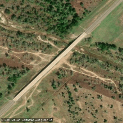
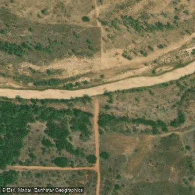
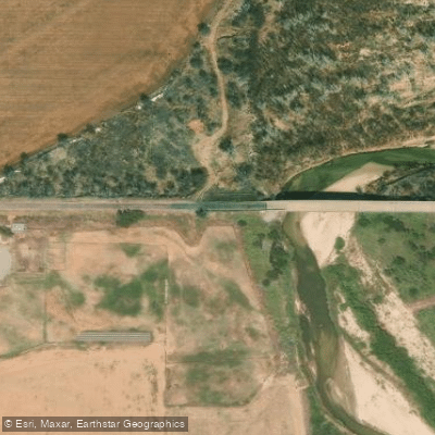
Learn how to get on Salt Fork Red River. Uncover great paddling access points, boat ramps, and all the facilities you need for an unforgettable day on the water. Some locations shown may border or include private property. Always check property boundaries and applicable regulations before visiting. PaddleWays's Public & Private Land layer can help you plan your access with confidence.
Paddle smarter with real-time insights
Whether you're en route and conditions shift or you're looking for the best spot based on current flows, we enable you to make informed decisions on the fly.








Find Places to Paddle

Over 400,000 Places to Paddle
Every user gets free access to launch points, boat ramps, and public property parcels.


Water and weather conditions (10 day forecast)
See the best times to paddle Salt Fork Red River and check the forecast before you go.
Salt Fork Red River at Mangum, OK
All Flow Stations
Paddling near Salt Fork Red River
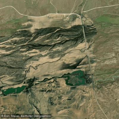
Canadian River
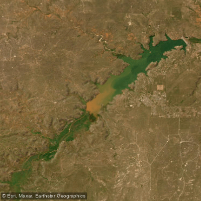
Lake Meredith
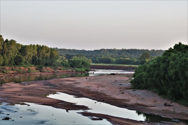
Washita River

North Fork Red River
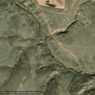
McClellan Creek
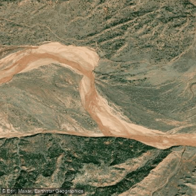
Prairie Dog Town Fork Red River
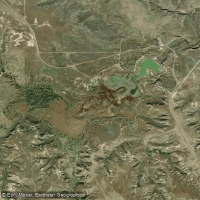
Lake McClellan
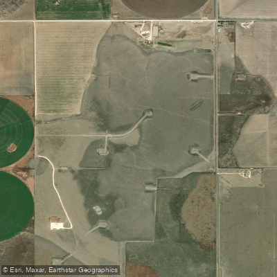
Deer Lake
Explore Texas waters
Top paddling waters
Popular Cities
Loading popular cities...
Explore near Salt Fork Red River
Access points
Nearby waters
More in Texas

Smarter Paddling Starts in the App.
Paddleways gives you everything you need to plan smarter, paddle better, and own every trip from first launch to takeout.