Curated by PaddleWays
RouteFlatwater
- Distance
- 17.9 mi
- Paddle time
- ~6 hrs
- Best for
- Kayak, packraft
- Put-in → take-out
- FM 545 Access → Lake Lavon Boat Ramp
Log jams requiring short portages
Sister Grove Creek is a scenic waterway located in eastern Texas, primarily flowing through Collin County. The creek originates northeast of McKinney and travels southeast for approximately 26 miles before emptying into Lake Lavon. As a tributary of the East Fork Trinity River, Sister Grove Creek is part of the larger Trinity River watershed. The creek offers paddlers a unique experience through a mix of forested and rural landscapes.
Two main paddling sections are popular among kayakers and canoeists:
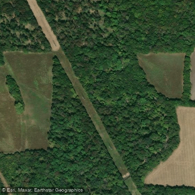
1. FM 545 to Lake Lavon (5-6 miles): This upper section features a winding, isolated waterway through dense forest. Paddlers may encounter occasional log jams requiring short portages.
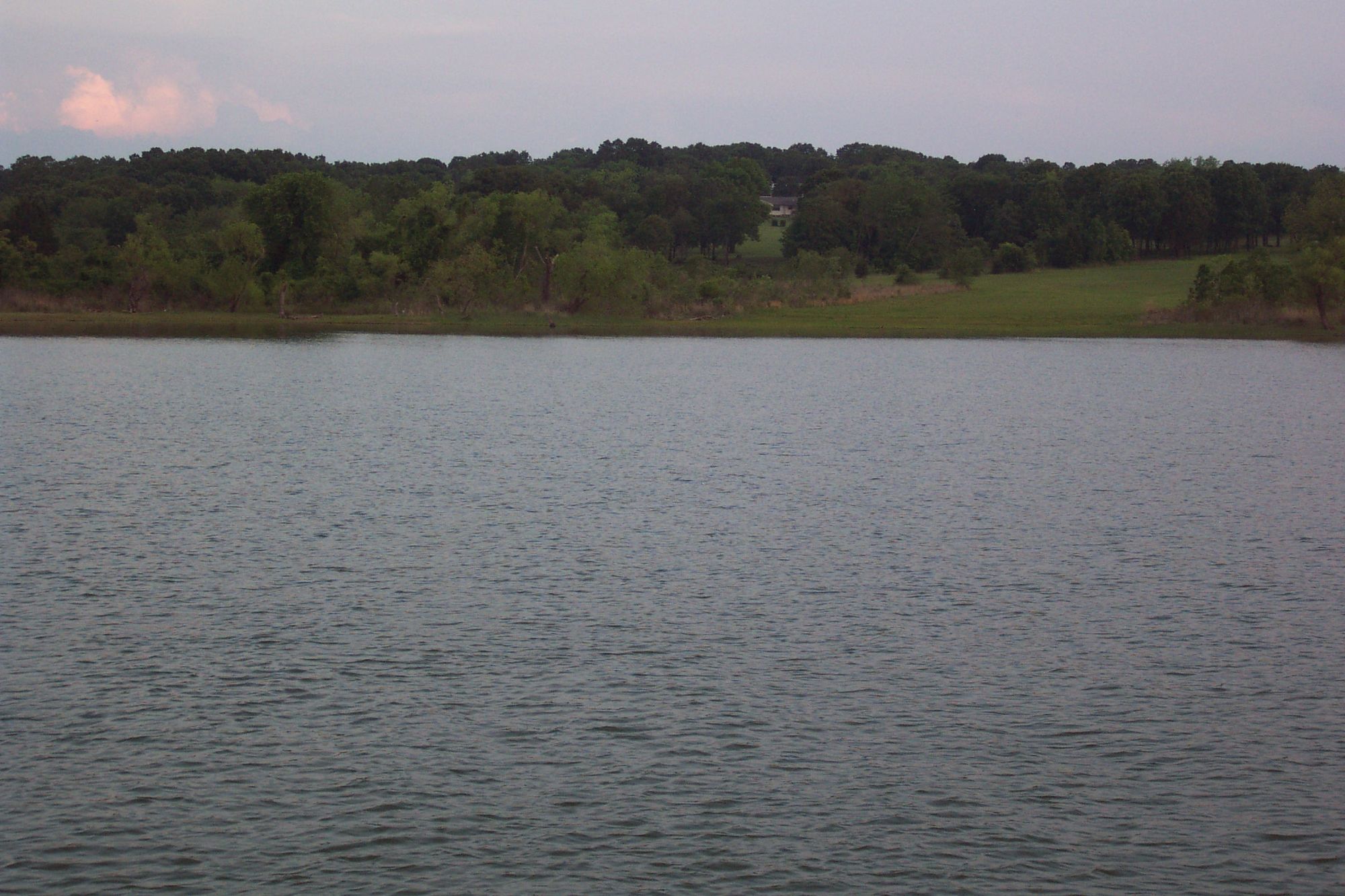
2. Twin Groves Park to Lake Lavon (3-5 miles): The lower section provides a mix of creek and lake paddling as Sister Grove Creek widens approaching its confluence with Lake Lavon.
Both sections are considered flatwater, suitable for beginners to intermediate paddlers. However, navigational skills are required due to the creek's meandering nature and potential obstacles. The best paddling times are typically spring and fall when water levels are optimal. Summer can be enjoyable but may have lower water levels, while winter paddling is possible during milder weather.
Sister Grove Creek's ecosystem supports a variety of flora and fauna typical of eastern Texas riparian zones. Paddlers may spot various bird species, turtles, and occasionally deer along the forested banks. Key landmarks include the distinctive hairpin turn with a log jam in the upper section, and the transition from creek to lake in the lower section.
The creek passes through rural areas, with the towns of Anna and Princeton being the nearest population centers. Access points include:
- FM 545 (upper put-in)
- Twin Groves Park off Highway 380 (lower put-in or take-out)
- Lake Lavon (final take-out)
Safety considerations include checking water levels before trips, being prepared for log jams and potential portages, and carrying sufficient water and sun protection. As the creek feeds into Lake Lavon, paddlers should be aware of potential motorboat traffic near the confluence.
While primarily a day-trip destination, adventurous paddlers could potentially plan an overnight trip combining both sections, camping at an appropriate site along the way (with proper permissions). Sister Grove Creek offers a peaceful paddling experience through a slice of Texas nature, providing an excellent opportunity for wildlife viewing and scenic photography while navigating its gentle waters.
Curated routes
Hand-picked by the PaddleWays team, with put-ins, take-outs, paddle times and the hazards along the way.
RouteFlatwater
Hazards
No hazards are marked on Sister Grove Creek yet. That is not the same as none being there: if you find one, report it for the next paddler.
From the community
Nobody has shared a trip on Sister Grove Creek yet. Paddle it, then tell the next paddler how it went.
See exactly where the public can get on and off the river. Launch points and boat ramps are paired with PaddleWays' public land data so you know where you can legally land.
Public shoreline
28%of the river's shoreline is public
Most of the riverbank is private. Launch, land and camp only at public access points.
Flows, weather and a route-by-route verdict, so you know which stretch of the Sister Grove Creek is worth paddling today.
Live flows, marked hazards and fresh trip reports from paddlers who were just on the water, all in one place.





Every user gets free access to launch points, boat ramps, and public property parcels.



Loading popular cities...
PaddleWays gives you everything you need to plan smarter, paddle better, and own every trip from first launch to takeout.