West Fork San Jacinto River
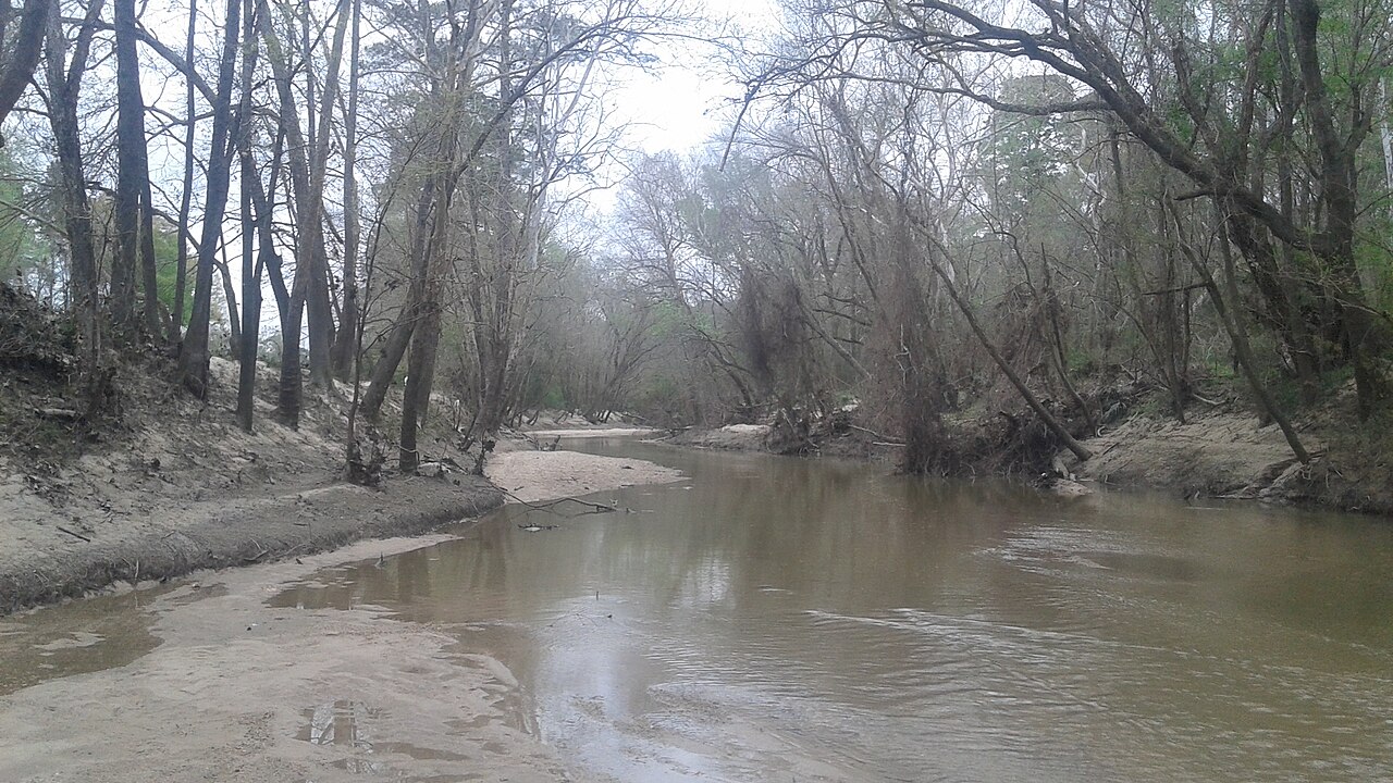
West Fork San Jacinto River
- Boat Ramps
- 8
- Access Points
- 10
- Campsites
- 24
The West Fork San Jacinto River is a significant waterway in southeast Texas, originating west of Huntsville in Walker County and flowing southeast for approximately 90 miles through Montgomery County before joining the East Fork San Jacinto River at the northern edge of Lake Houston in Harris County. This river system is a major tributary of the San Jacinto River, which ultimately empties into Galveston Bay and the Gulf of Mexico. Paddling opportunities on the West Fork San Jacinto are diverse and appealing, offering a mix of flatwater and very mild whitewater (Class I) experiences. The river is navigable year-round when water is being released from Lake Conroe Dam or after significant rainfall.
The most popular paddling sections include: 1. Lake Conroe Dam to Lake Houston (40 miles): A surprisingly scenic stretch through coastal flatlands. 2. McDade Park to Highway 242 Bridge (10-14 miles): An urban paddle with a mix of natural beauty and some man-made obstacles. 3. Stubblefield Lake Road Loop (4-5 miles): A shorter, circular route ideal for beginners or those seeking a quick trip. 4. Spring Creek to San Jacinto River confluence (10 miles): Offers exploration of oxbow lakes and diverse ecosystems.
The river's difficulty ranges from flatwater to Class I, making it suitable for paddlers of various skill levels. However, urban debris and occasional low-hanging branches require attentiveness. The best paddling times are typically spring and fall, when temperatures are mild and water levels are favorable.
The West Fork San Jacinto River corridor supports a rich ecosystem. Paddlers may encounter diverse wildlife including various bird species, turtles, and occasionally alligators. The riverbanks are lined with native trees and aquatic plants, though some areas have issues with invasive water hyacinth.
Key access points include: - Below Lake Conroe Dam near Montgomery - McDade Park in Conroe - Stubblefield Lake Road 215 north of Lake Conroe - Jesse Jones Park near Humble
The river holds historical significance as part of the greater San Jacinto River system, which played a role in early Texas settlement and commerce. Today, it serves as an important water source for the Houston metropolitan area, with Lake Conroe and Lake Houston acting as major reservoirs.
Safety considerations include being aware of water releases from Lake Conroe Dam, watching for submerged obstacles in urban areas, and respecting private property along the banks. Paddlers should also be prepared for limited cell phone coverage in some stretches.
While primarily used for day trips, the river's length does offer potential for multi-day adventures for experienced paddlers who are well-prepared for primitive camping and self-sufficient travel. Such trips would require careful planning and consideration of access points and water levels.
Water access, boat ramps & amenities
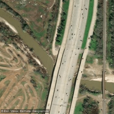
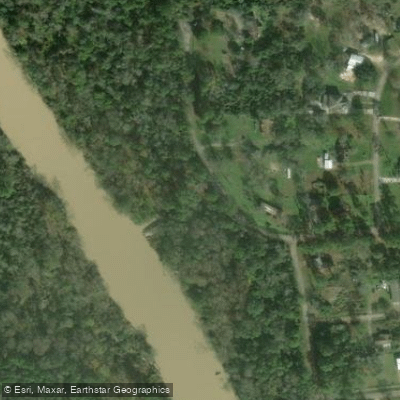
Learn how to get on West Fork San Jacinto River. Uncover great paddling access points, boat ramps, and all the facilities you need for an unforgettable day on the water. Some locations shown may border or include private property. Always check property boundaries and applicable regulations before visiting. PaddleWays's Public & Private Land layer can help you plan your access with confidence.
Paddle smarter with real-time insights
Whether you're en route and conditions shift or you're looking for the best spot based on current flows, we enable you to make informed decisions on the fly.








Find Places to Paddle

Over 400,000 Places to Paddle
Every user gets free access to launch points, boat ramps, and public property parcels.


Water and weather conditions (10 day forecast)
See the best times to paddle West Fork San Jacinto River and check the forecast before you go.
W Fk San Jacinto Rv nr Huntsville, TX
All Flow Stations
Paddling near West Fork San Jacinto River
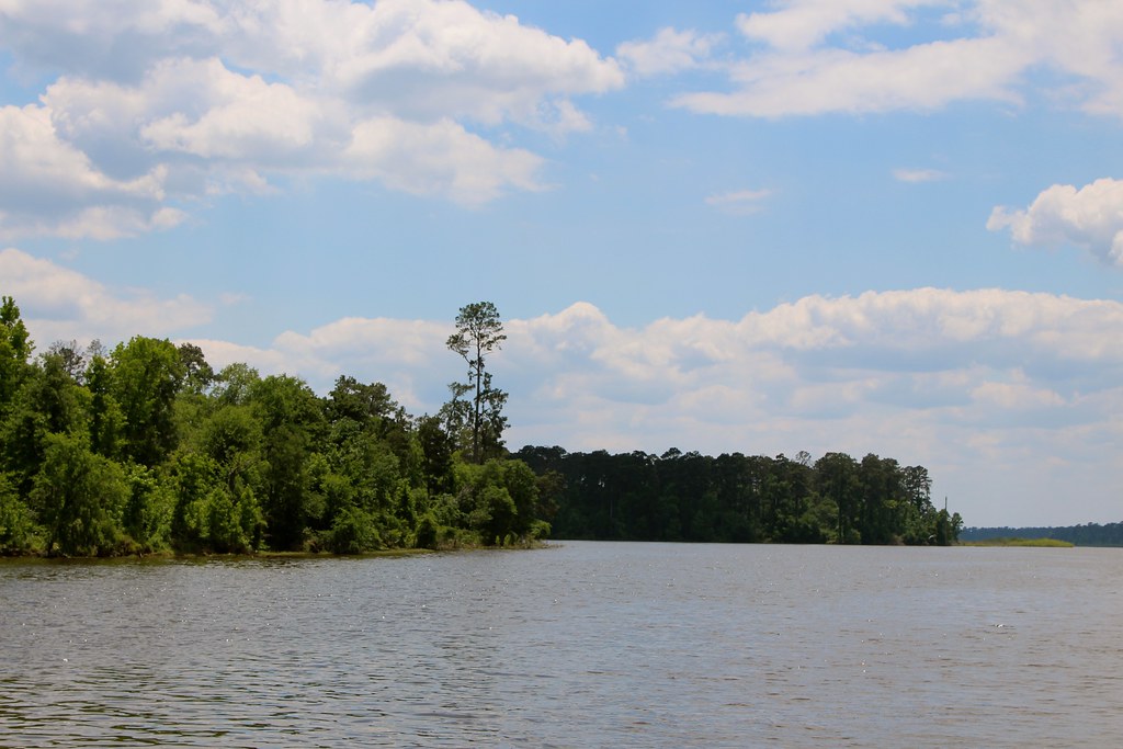
Lake Conroe
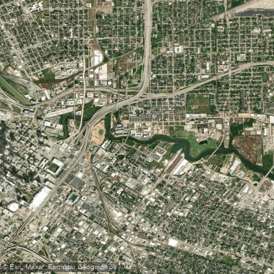
Buffalo Bayou
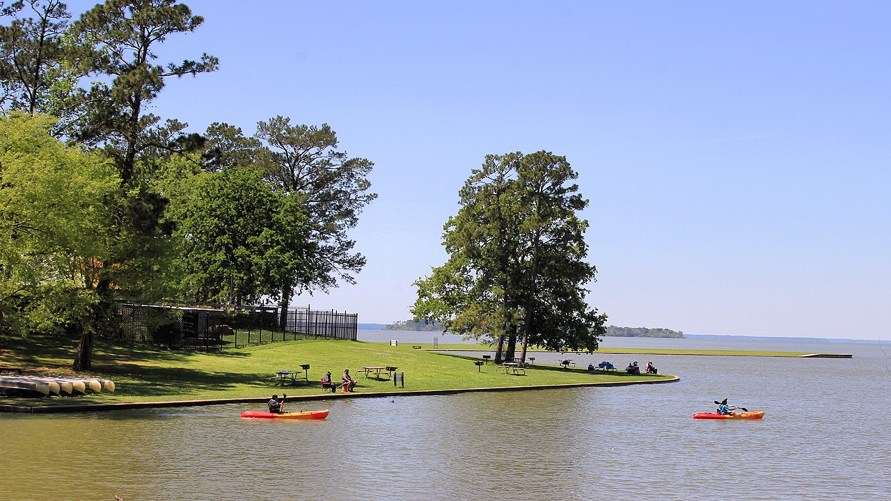
Lake Livingston

Brazos River
Muleshoe Lake

Trinity River
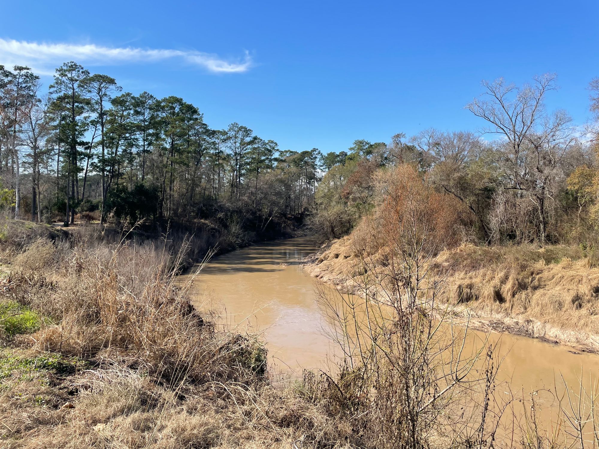
Cypress Creek
Turkey Bend Cutoff
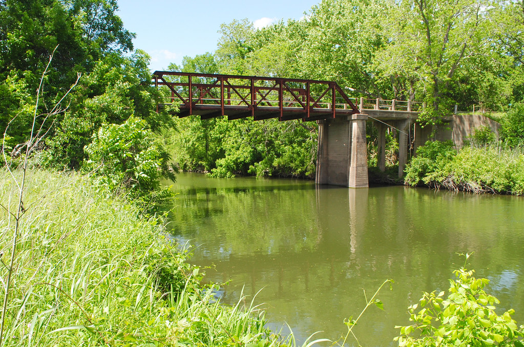
Navasota River
Explore Texas waters
Top paddling waters
Popular Cities
Loading popular cities...
Explore near West Fork San Jacinto River
Access points
Nearby waters
More in Texas

Smarter Paddling Starts in the App.
Paddleways gives you everything you need to plan smarter, paddle better, and own every trip from first launch to takeout.