Cypress Creek
Cypress Creek
- Boat Ramps
- 8
- Access Points
- 21
- Campsites
- 1
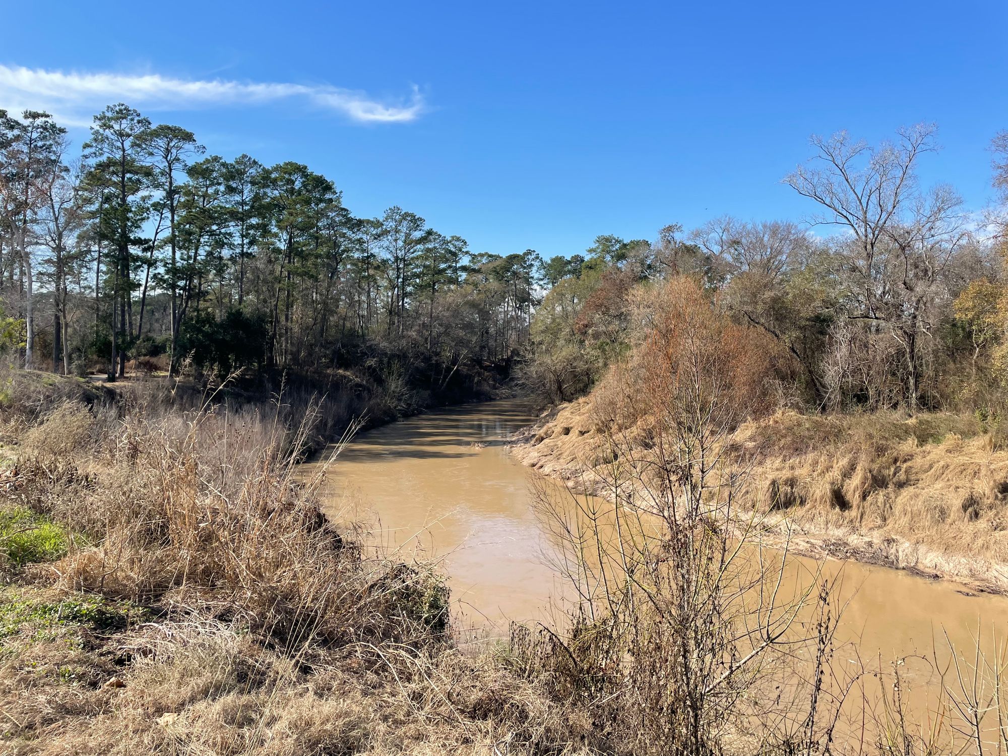
Cypress Creek originates near the border between Harris and Waller Counties in Texas, flowing generally southeast across northern Harris County before merging with Spring Creek near Interstate 69/US Highway 59. This tributary of the San Jacinto River system drains approximately 322 square miles and extends roughly 53 miles through predominantly forested terrain characterized by pine, cottonwood, sycamore, cypress, and ash trees.
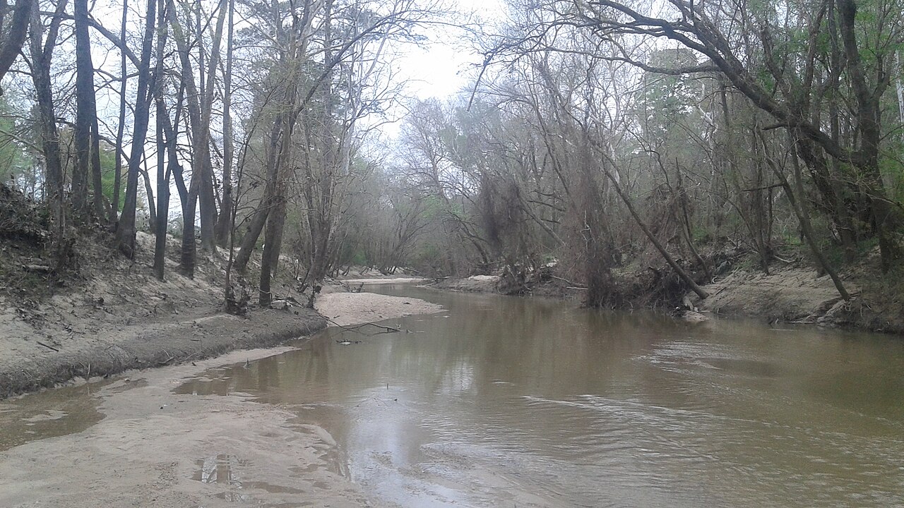
The creek's character varies significantly along its course. Above the confluence with Little Cypress Creek, the waterway remains relatively narrow and intimate, with a sandy bed mixed with light gravel. Frequent sandbars alternate from bank to bank, creating a dynamic environment that requires regular lining of canoes during normal water levels. Low bluffs and towering pines frame the channel, with some areas featuring 30-foot overhanging cliffs that drop directly into the water. Below the Little Cypress Creek junction, the volume increases substantially, reducing the need for portaging except during extreme drought conditions.
Paddling opportunities exist primarily through a developing greenway system that will eventually encompass approximately 33 miles of continuous parkland. The Harris County Flood Control District maintains several access points, including locations near T.C. Jester Boulevard, along Cypresswood Drive, and at various parks throughout the system. Launch sites range from informal bank access to developed facilities with parking and restrooms. The creek flows through both rural agricultural areas and increasingly urbanized zones, though riparian buffers preserve a surprisingly natural corridor.
Water levels fluctuate dramatically with rainfall patterns, as the watershed has experienced significant development. The creek can transform from shallow riffles requiring walking to navigable channels within hours of heavy precipitation. Spring and fall typically offer the most reliable paddling conditions, while summer often presents low water challenges. Winter paddling remains viable but requires monitoring recent rainfall.
Wildlife includes white-tailed deer, beavers, nutria, pileated woodpeckers, kingfishers, various herons and cranes, and occasional bald eagle sightings. Feral hogs and coyotes inhabit the watershed. The sandy substrate and clear water during base flow conditions support diverse aquatic life.
Notable landmarks include the Sam Houston Oak near the former HP campus at 249 and Louetta, numerous golf course crossings including Champions and Raveneaux, and the historic Jesse H. Jones Park near the creek's terminus. The waterway passes through or near communities including Bridgeland, Towne Lake, Coles Crossing, Longwood, Lakewood, Champions Forest, and Cypresswood.
Safety considerations include monitoring water levels before trips, as flash flooding poses significant risk. The creek's proximity to urban development means bridge crossings concentrate noise and occasional debris. Some sections require technical maneuvering around log jams and shallow rock gardens, making intermediate paddling skills advisable for extended trips.
Water access, boat ramps & amenities
Learn how to get on Cypress Creek. Uncover great paddling access points, boat ramps, and all the facilities you need for an unforgettable day on the water. Some locations shown may border or include private property. Always check property boundaries and applicable regulations before visiting. PaddleWays's Public & Private Land layer can help you plan your access with confidence.
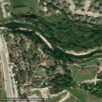
Cypress Creek Access
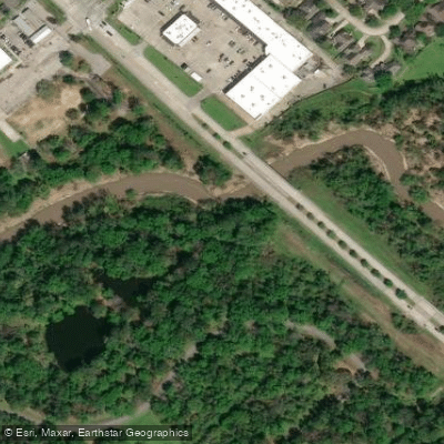
Grant Woods Park Access
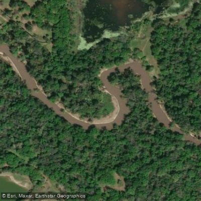
Hike-in Access
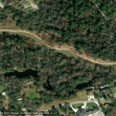
Cypress Creek Access
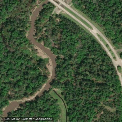
Hike-in Access
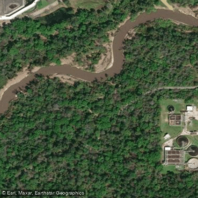
Cypress Creek Access
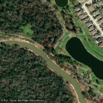
Forest Lake Access
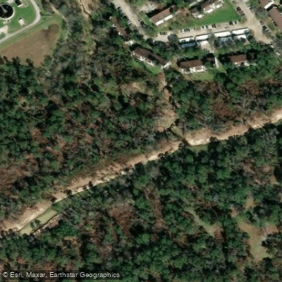
Cypress Creek Access
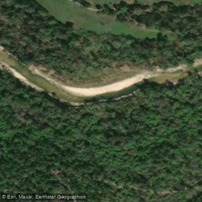
Cypress Creek Access
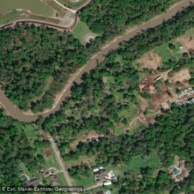
East Shadowlake Pocket Park Access
Paddle smarter with real-time insights
Whether you're en route and conditions shift or you're looking for the best spot based on current flows, we enable you to make informed decisions on the fly.








Find Places to Paddle

Over 400,000 Places to Paddle
Every user gets free access to launch points, boat ramps, and public property parcels.


Water and weather conditions (10 day forecast)
See the best times to paddle Cypress Creek and check the forecast before you go.
Cypress Ck at Katy-Hockley Rd nr Hockley, TX
All Flow Stations
Paddling near Cypress Creek

Brazos River
West Fork San Jacinto River
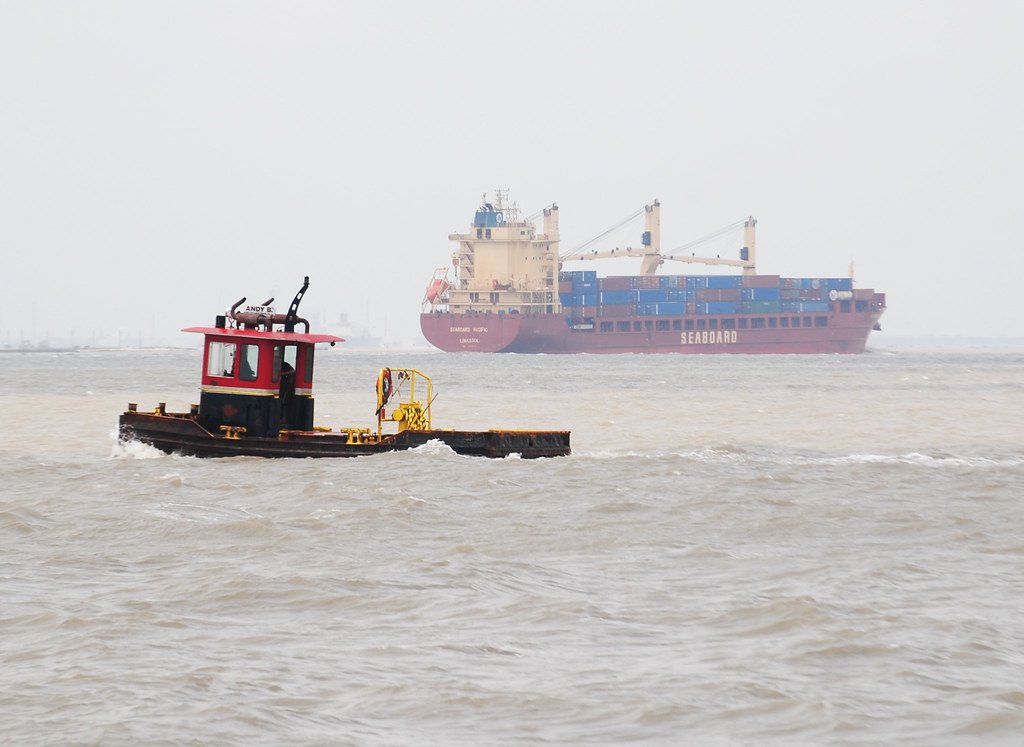
Galveston Bay
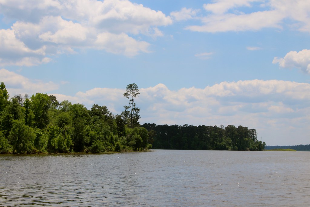
Lake Conroe
Houston Ship Channel

Trinity River
Lake Houston
Turkey Bend
Buffalo Bayou
Explore Texas waters
Top paddling waters
Popular Cities
Loading popular cities...
Explore near Cypress Creek
Access points
- Bud Hadfield Park Boat Ramp
- Mercer Arboritum Boat Ramp
- Maxwell Park Boat Ramp
- Collins Park Boat Ramp
- Telge Park Boat Ramp
- E. Shadowlake Pocket Park Boat Ramp
- Kuykendahl Road Bridge Boat Ramp
- Lower Cypresswood Bridge Boat Ramp
- Cypress Creek Access
- Grant Woods Park Access
- Hike-in Access
- Cypress Creek Access
- All 33 spots
Nearby waters
More in Texas

Smarter Paddling Starts in the App.
Paddleways gives you everything you need to plan smarter, paddle better, and own every trip from first launch to takeout.