Turkey Bend Cutoff
- Saltwater
- Sea area
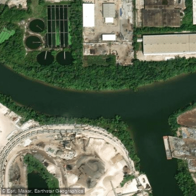
Turkey Bend Cutoff
- Saltwater
- Sea area
- Sq. miles
- 0
- Boat Ramps
- 0
- Access Points
- 0
- Campsites
- 0
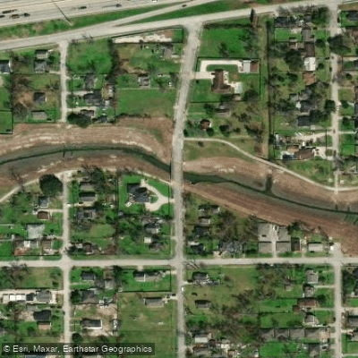
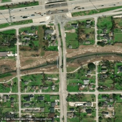
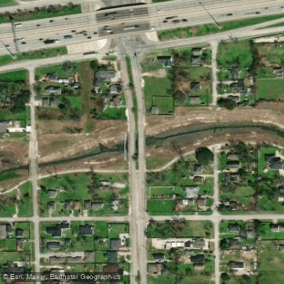
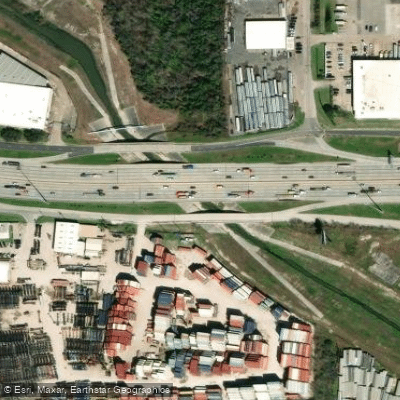
Turkey Bend Cutoff is a channel located in Harris County, Texas, within the Settegast USGS map area. Its coordinates are 29.7566169°N, -95.3160479°W, and its approximate elevation is 36 feet above sea level. This places it within the complex network of waterways associated with the Houston Ship Channel system, as indicated by its proximity to features like Old River, Barbours Cut, and the Houston/Galveston Navigation Channel. The channel's location suggests it is a saltwater, tidal feature integral to the coastal marine environment of Galveston Bay. Paddlers must plan for significant tidal currents and potential boat traffic from the nearby major shipping channels. The area is exposed to wind and weather typical of the upper Texas coast. Specific public launch sites, take-outs, and amenities are not detailed, requiring paddlers to consult detailed local maps for access points. The surrounding area includes urban and industrial landscapes near Houston, as referenced by nearby landmarks such as the Toyota Center and various schools and parks. Water temperatures in the region follow Gulf of Mexico patterns, with the provided data point of 20°C (68°F) suggesting a measurement from a cooler season. Paddlers should be prepared for variable water quality common to industrialized port areas and must maintain high situational awareness for commercial vessel traffic when navigating near connecting channels.
Water access, boat ramps & amenities
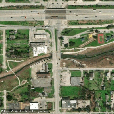
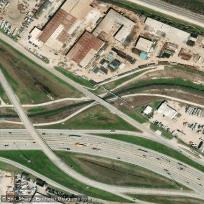
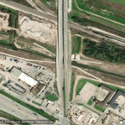
Learn how to get on Turkey Bend Cutoff. Uncover great paddling access points, boat ramps, and all the facilities you need for an unforgettable day on the water. Some locations shown may border or include private property. Always check property boundaries and applicable regulations before visiting. PaddleWays's Public & Private Land layer can help you plan your access with confidence.
Paddle smarter with real-time insights
Whether you're en route and conditions shift or you're looking for the best spot based on current flows, we enable you to make informed decisions on the fly.








Find Places to Paddle

Over 400,000 Places to Paddle
Every user gets free access to launch points, boat ramps, and public property parcels.


Tides, wind & water conditions (10 day forecast)
On open water, wind and tide matter as much as the weather. See the best times to paddle Turkey Bend Cutoff and check the marine forecast before you launch.
Loading tide predictions…
Paddling near Turkey Bend Cutoff

Brazos River
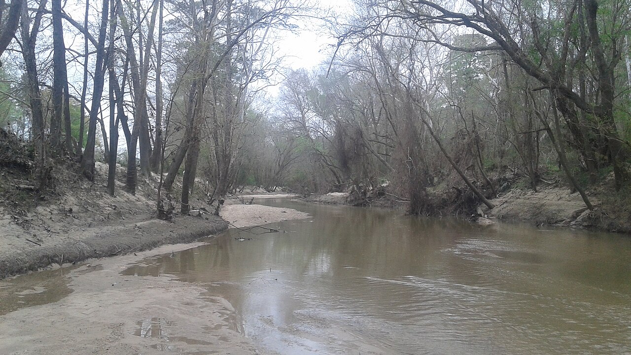
West Fork San Jacinto River
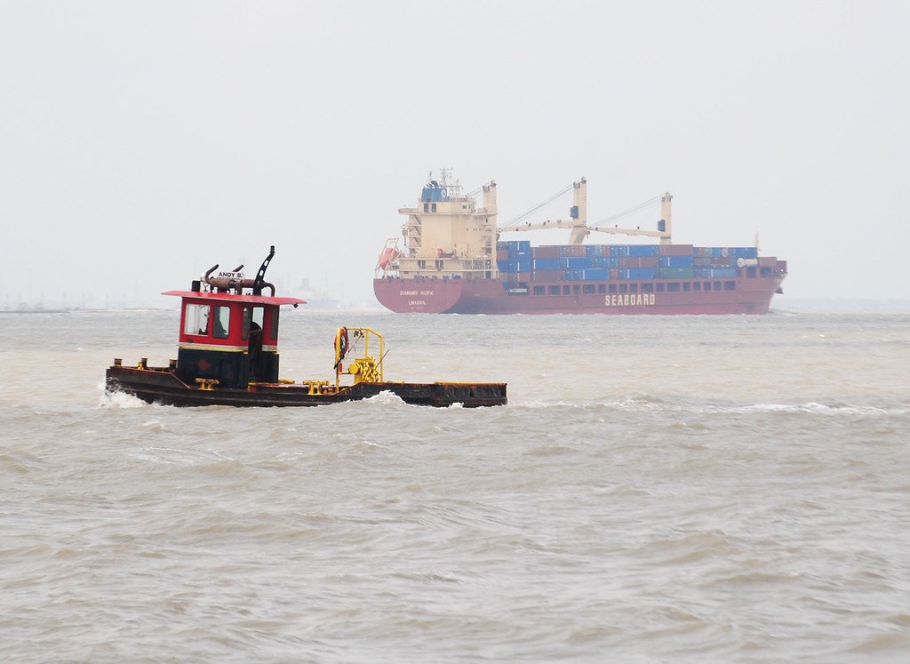
Galveston Bay
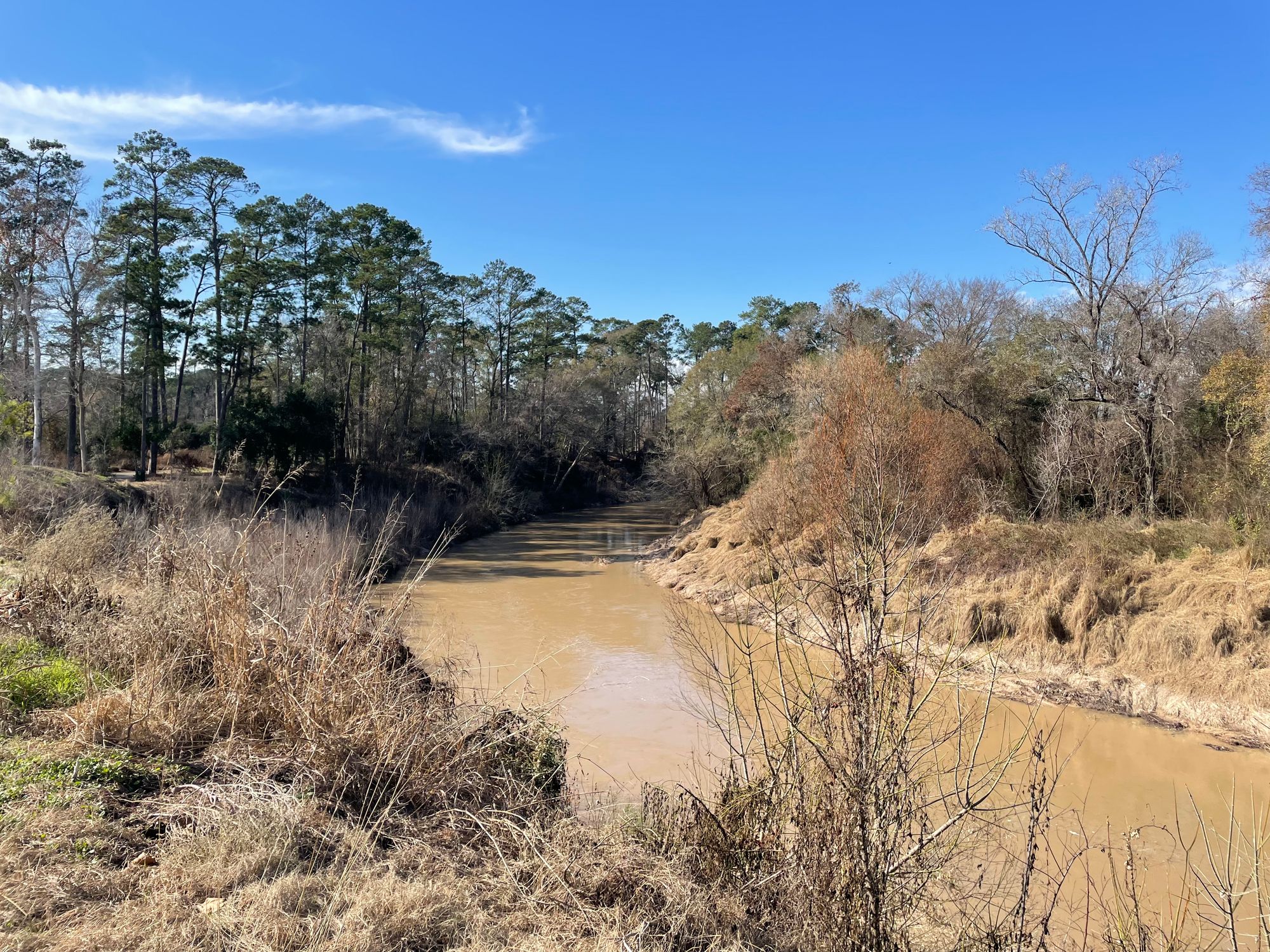
Cypress Creek
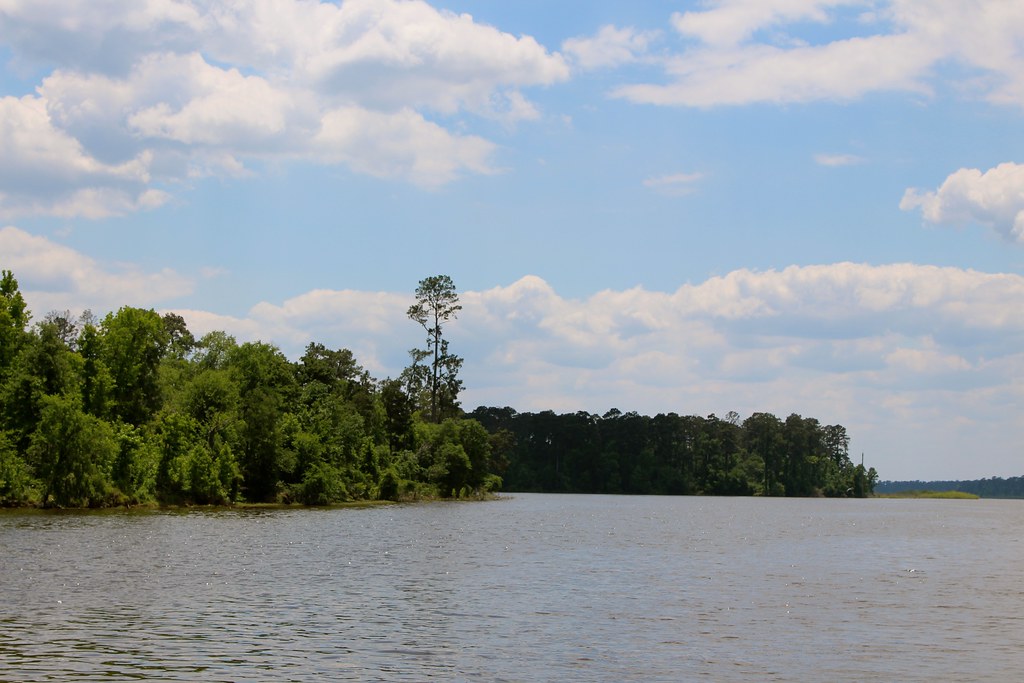
Lake Conroe
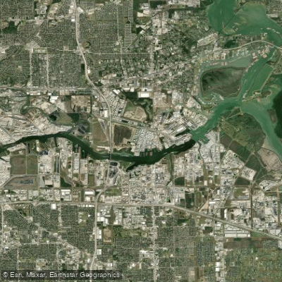
Houston Ship Channel

Trinity River
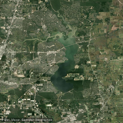
Lake Houston
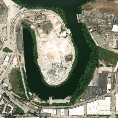
Turkey Bend
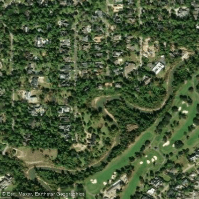
Buffalo Bayou
Explore Texas waters
Top paddling waters
Popular Cities
Loading popular cities...
Explore near Turkey Bend Cutoff
Access points
Nearby waters
More in Texas

Smarter Paddling Starts in the App.
Paddleways gives you everything you need to plan smarter, paddle better, and own every trip from first launch to takeout.